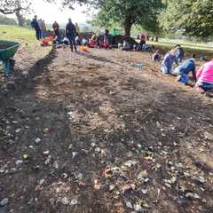
Explore the open archaeological data from our digs at Sudeley Castle
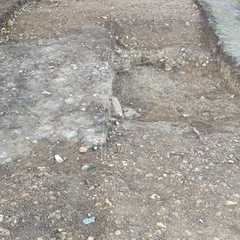
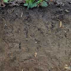
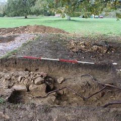
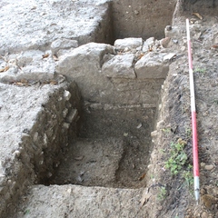
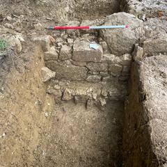
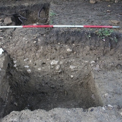
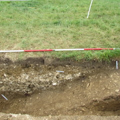
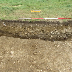
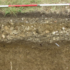
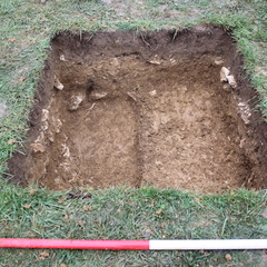
Yellowish brown clay layer beneath rubble 15002, built up over wall 15003
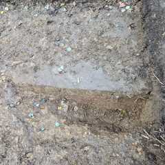
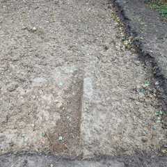
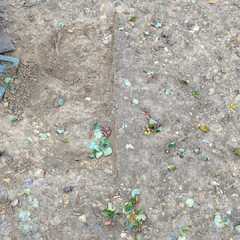
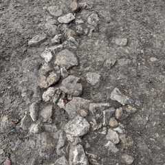
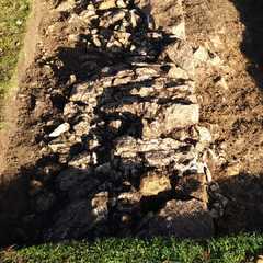
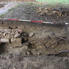
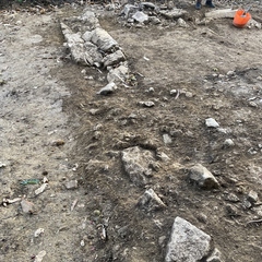
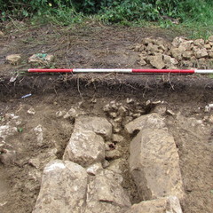
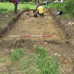
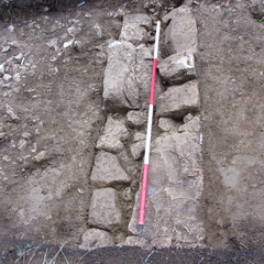
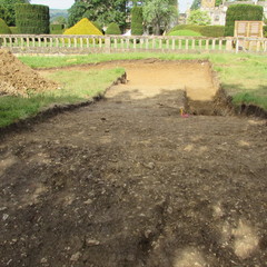
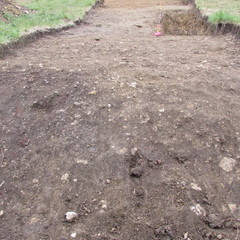
Tudor garden wall continuation running N-S through TR15
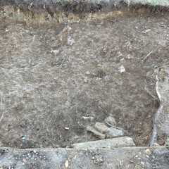
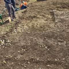
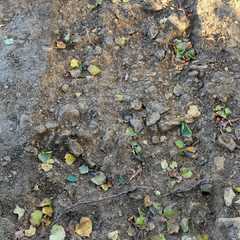
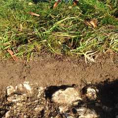
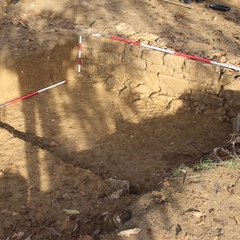
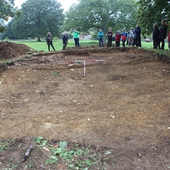
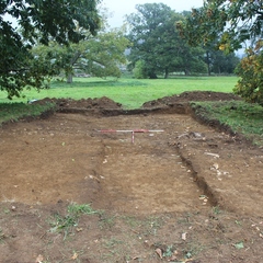
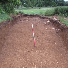
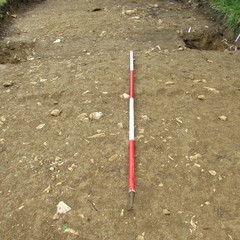
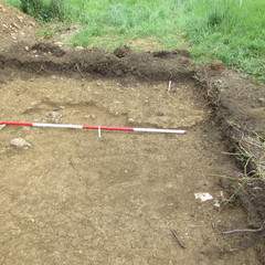
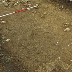
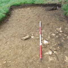
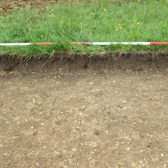
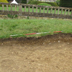
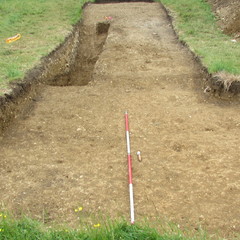
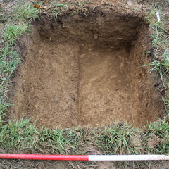
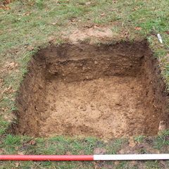
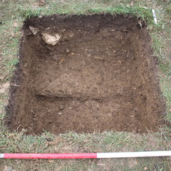
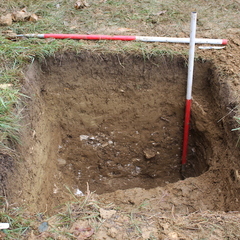
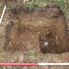
Rubbly layer below topsoil in Trench 15
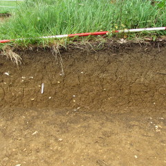
Topsoil in Trench 15
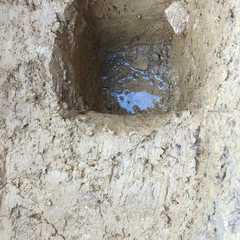
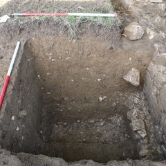
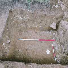
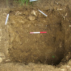
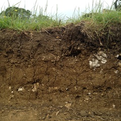
Natural blue clay and gravels in TP14
Clay deposit below (14003) with inclusions of large sandstones
Darker orange sterile clay deposit below (14002)
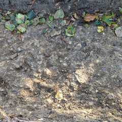
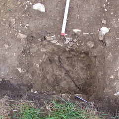
Clayey deposit underneath topsoil in trench 14
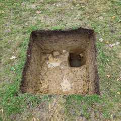
Topsoil in trench 14
Intentional capping of Victorian drainage ditch within earlier ditch. Possibly same as (13017).
Intentional capping layer of Victorian field drain within earlier ditch [13005].
Fill of ditch [13005]
Initial fill of water channel/ditch
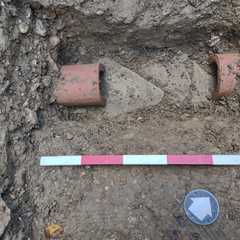
Cut of ceramic pipe within water channel
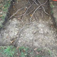
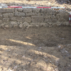
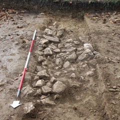
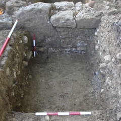
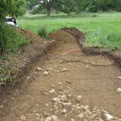
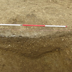
Gravelly clay mound material external to garden wall in TR13
Yellowish Clay layer beneath rubble 13003
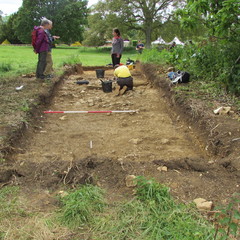
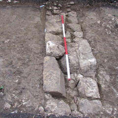
N-S aligned continuation of garden wall in TR13
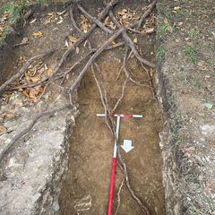
Silty clay fill of water channel containing large chunks of masonry, below blue capping clay
Cut of water channel in TR13
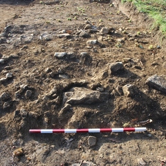
Concretise wall made of limestone rubble along NE edge of possible water channel in tr13.
Dark soil fill of channel in tr13, possibly over clay deposit but only seen on the NW side
Rubble over stone garden wall containing worked stones from Winchcomb Abby
Upper clay fill of water channel in trench 13
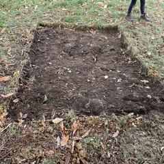
Topsoil in trench 13
Fill of small post hole [12014] beneath the mound in TR12
Cut of a small post hole beneath the mound in TR12
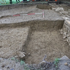
Subsoil in TR12
Cut of possible plant bed at SW corner of Tr12
Fill of possible plant bed at SW corner of Tr12
Stoney deposit at the western base of mound
Natural gravels in Trench 12
Upper silty clay layer of sondage in SW corner of Tr12
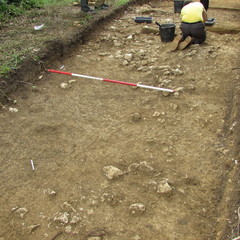
Stoney layer on top of the mound in trench 12
Cut of a tree bowl, west of a group of two.
Cut of a tree bowl, East of a group of two
Fill of a possible tree bowl, west of a group of 2
Fill of a possible tree bowl, east of a group of 2
Stoney rubble area on top of mound in TR12
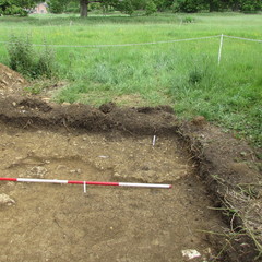
Topsoil in Trench 12
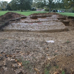
Possible rubble demolition/collapse against Western side of wall 11002
Possible rubble surface or demolition build up deposit against Eastern side of wall 11002
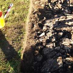
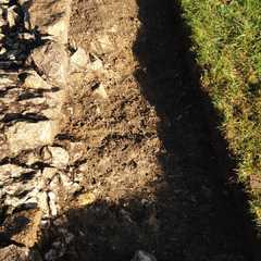
N-S aligned potential Tudor garden wall
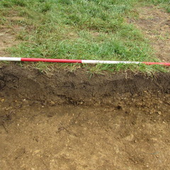
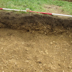
Topsoil
Clay mound layer underneath 10007
Clay mound layer underneath 10003 likely same as 10006
Fill of cast iron pipe
Cut of cast iron pipe
Yellowy clay with small sub angular limestone inclusions under 10006
Yellowy clay with small sub angular limestone inclusions
Rubble surface - potentially 19th century path
Clayey layer with some gravelly stones
Clay layer underneath topsoil- possibly subsoil?
Gravelly layer within tr 10. Potentially part of the mound associated with the wall in tr 8
Topsoil and turf within tr 10
Lowest mid yellowish brown clay layer excavated in trench 9
Mid brown silty clay very similar to 9005
Mid brown silty clay very similar to 9006
Mid greyish brown silty clay layer with stones , same as (9003)
Mid orangey brown silty clay layer , same as (9004)
Mid greyish brown silty clay layer underneath topsoil and same as (9006)
Topsoil in trench 9
Backfill of Emma Dents trench
Gravelly layer under 8020 to the E of wall 8005
A bank deposit layer under 8011 to the E of wall 8005
Stoney layer underneath 8006 On the W side of the wall (S slot)
Natural hard stone layer beneath natural clay 8016
Layer on east of wall under rubble 8015
Natural Clay beneath wall foundations 8013
Rubble layer in SE of trench 8
Context voided in the field - the interpretation now is that the wall was built on top of the natural …
Fill of wall foundation 8012 in slot to west of wall in trench 8
Cut of previous trench excavated by Emma Dent
Rubble layer below 8007 in Eastern Wall slot trench 8
Bank deposit with stoney inclusions beneath 8006, western wall slot
Fill of potential tree bowl 8008
Cut of potential tree bowl
Built up mound deposit to East of wall 8005 running through the centre of trench 8
Clayey silt layer in Western half of trench 8
N-S aligned wall running through centre of trench 8. Same as 7009 discovered in 2019 season
Rubble layer visible protruding from Northern LOE central to Trench 8
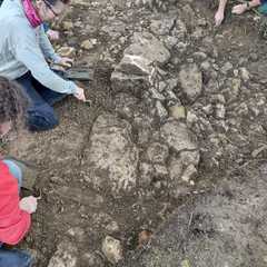
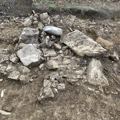
Rubble layer with large dressed and carved stone fragments in SW quadrant of tr 8
Subsoil/ cleaning material
Topsoil in tr 8 mostly removed by digger
Robbed out wall fill
Backfill of Canon Lyson's trench
Freq medium sub-angular stones some sculptured = (7018). Rubble west of wall foundation (7011).
Mid brown clay
Mid yellowish-brown sandy clay hardcore cap
Mid yellowish-brown sandy clay
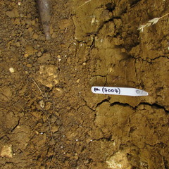
Mid brown clay = (7004), (7008), (7010), (7012), (7017), (7025)
Earthen mound
Robbing event of stone wall
Rubble E of wall foundation
Clay cap
Bank material. garden associated
layer garden bed
Possible cut of Canon Lyson's 19th century excavation
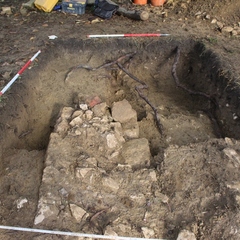
Compact layer, possibly a floor.
Wall fill
Clay layer under the backfill of Emma Dent's robber trench
Stone wall fill
The fill of stone filled drain
Cut of stone filled drain
Hardcore cap
Clay layer over hardcore cap located in north of trench
Possible backfill from Canon Lyson's excavation
Subsoil
Gravel tertiary fill of ditch 2
hardcore capping on top of bank underneath (6020) = (6003) and (6009)
Clay capping outer bank. Equal to (6005).
Possible clay lining of ditch [6010]
Earthen mound. Layer below circular bank (6006)
Fill of ditch [6007]
Possible buried turfline in ditch [6007]
Possible buried turf line in ditch [6010]
Gravel lower tertiary fill of ditch [6010]
Clay fill of ditch [6007]. Probably same as (6016) buried turf line
Rubble fill in [6010] equal to (6011)
Modern rubble fill of ditch [6010]. Same as (6012).
Cut of circular ditch (segment running E-W)
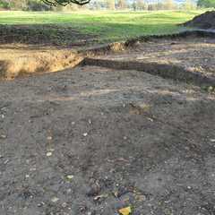
Central mound or platform
Tertiary modern rubble fill of ditch [6007]
Cut of circular ditch (segment running N-S)
Circular outer bank hard core cap at eastern end of trench
Clay capping on circular outer bank (6006)
Clay capping at top of bank (6006)
Upcast from a probable mound
Topsoil/ploughsoil
Layer
Topsoil/Ploughsoil
Small area outside Richard III banqueting hall against the walls of the ruin, between the South Hall …