Contexts
-
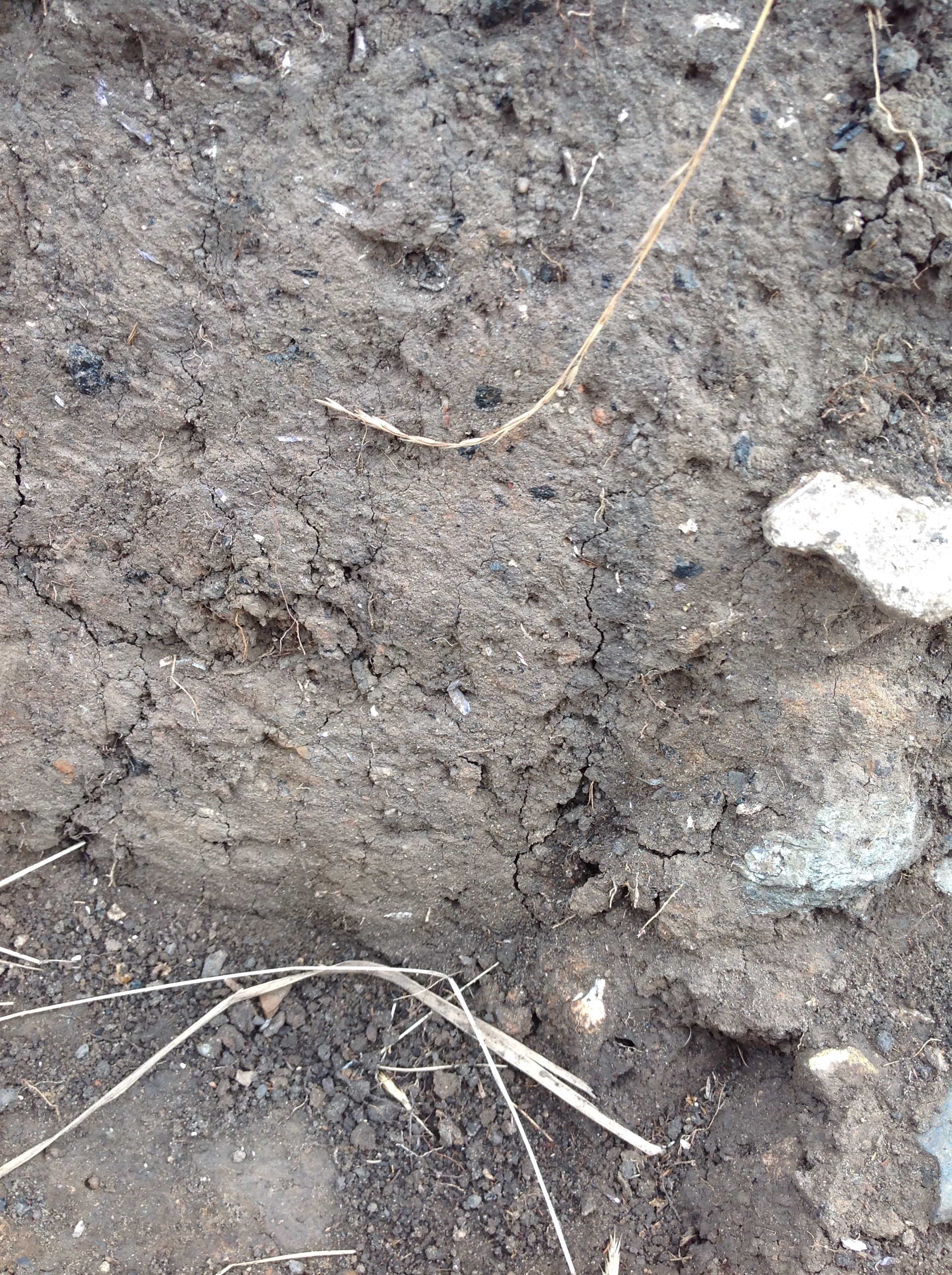
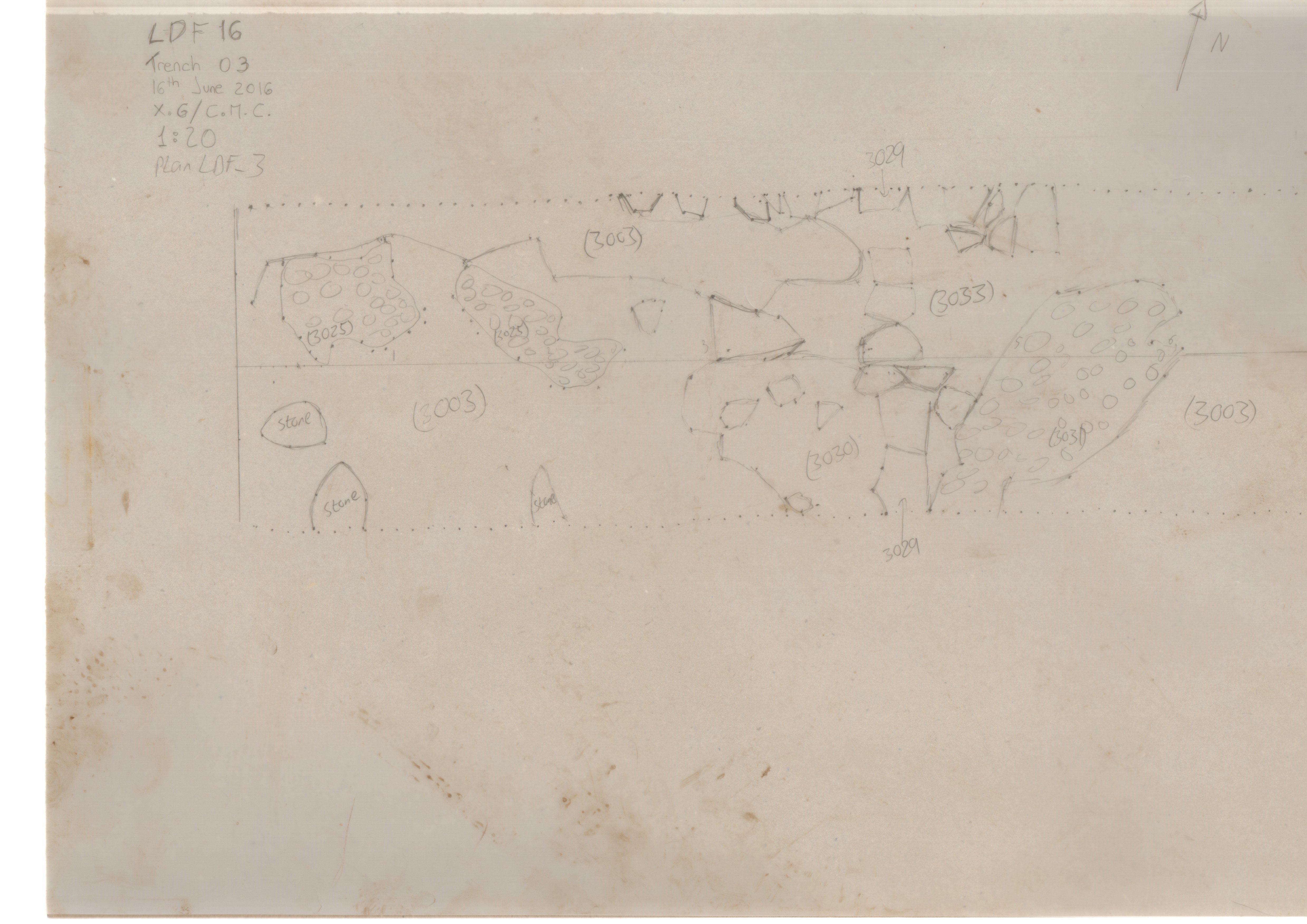
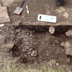
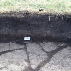
Context: LDF_3003
- Subsoil cleaning layer
- Brendon Wilkins
- 15-6-2016
-
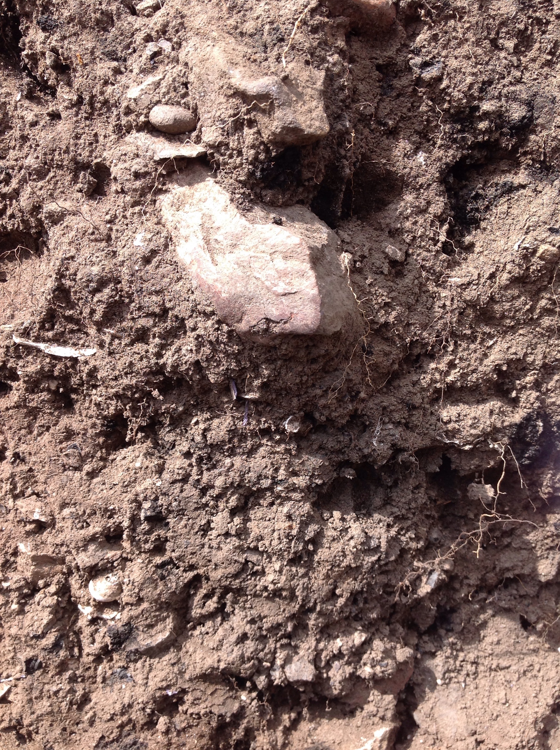
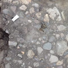
Context: LDF_3007
- Dump layer at the West of the trench
- Roger Watson
- 18-6-2016
-
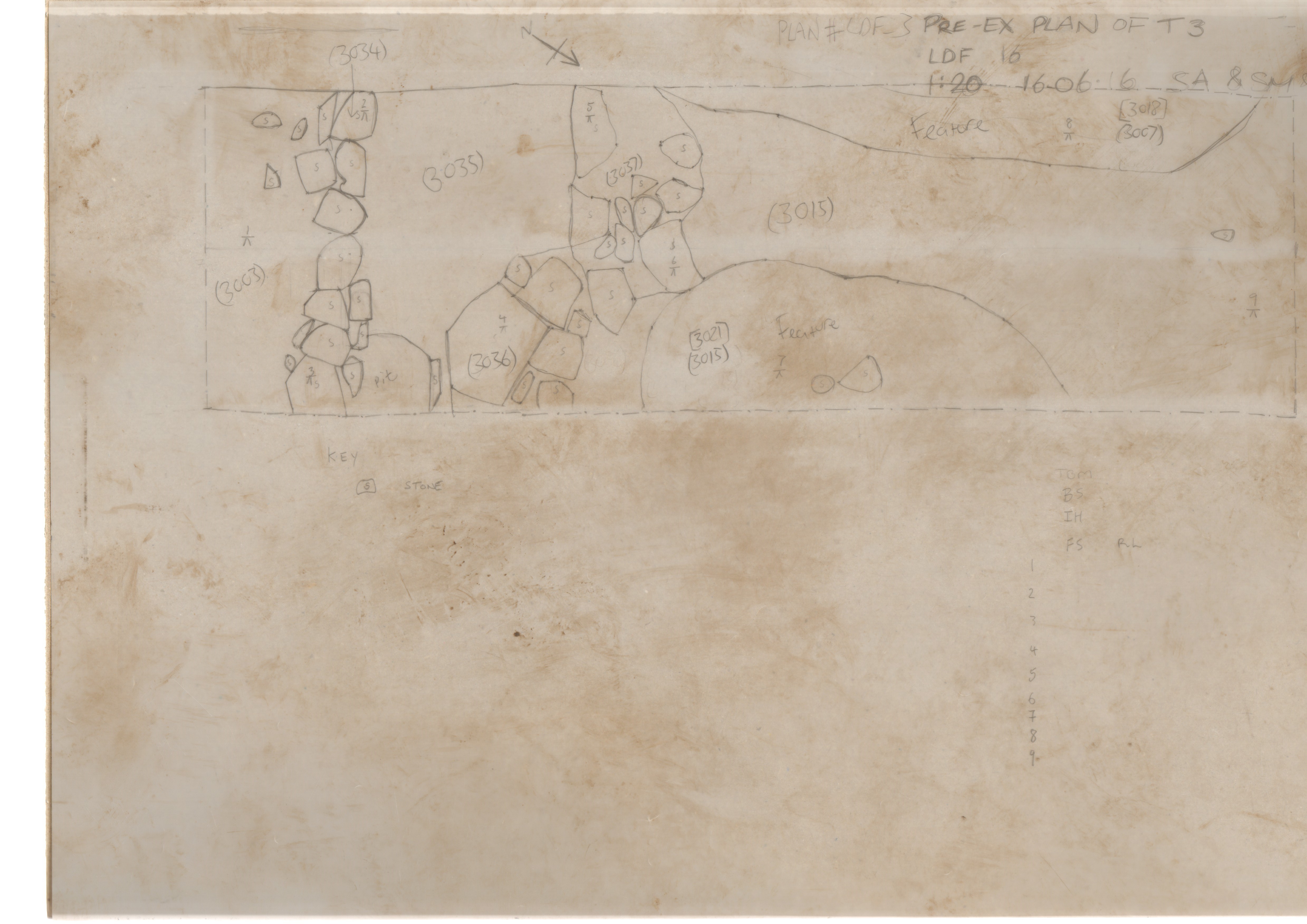
Context: LDF_3015
- Dump layer at the East of the trench
- Roger Watson
- 18-6-2016
-
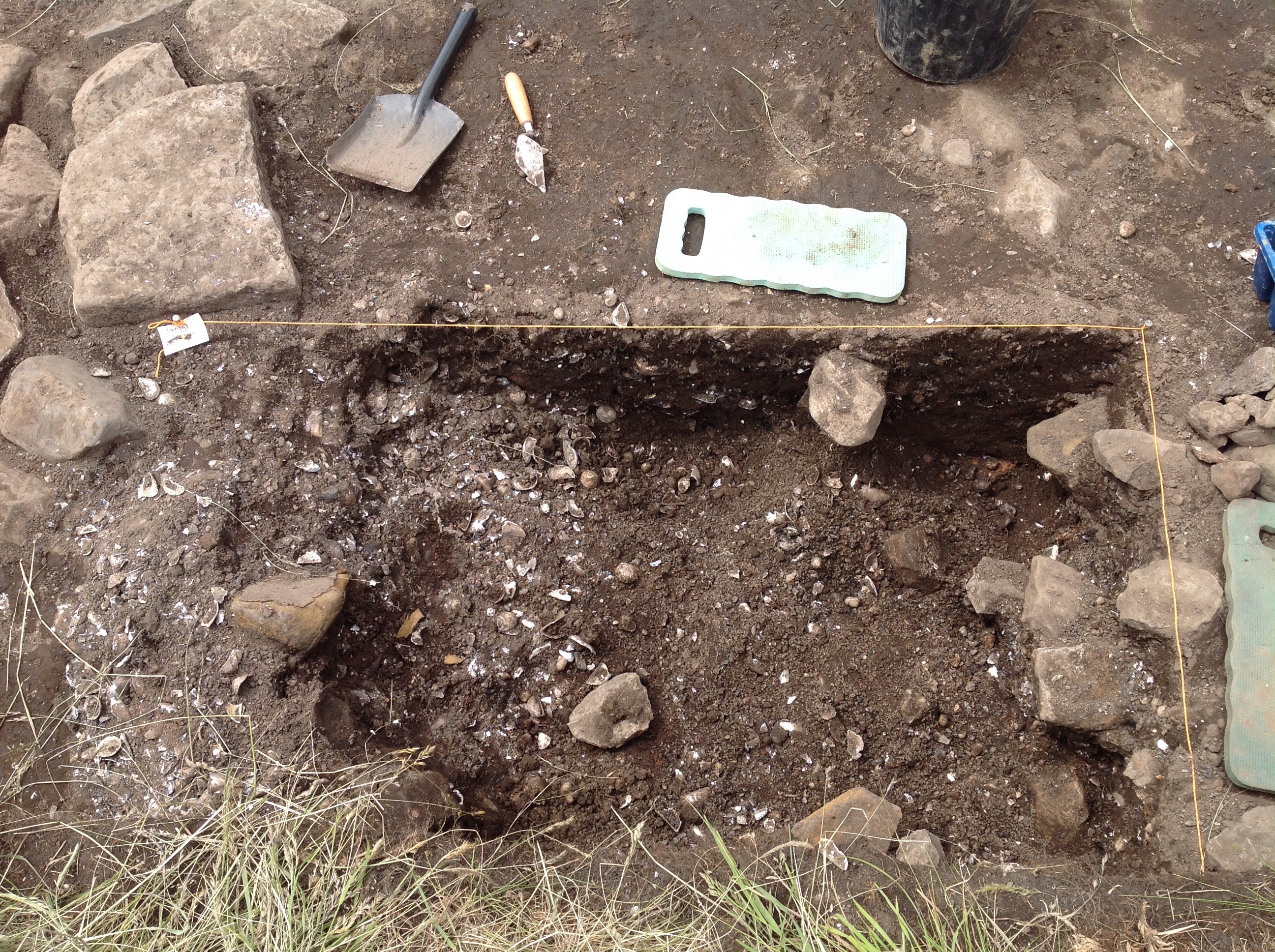
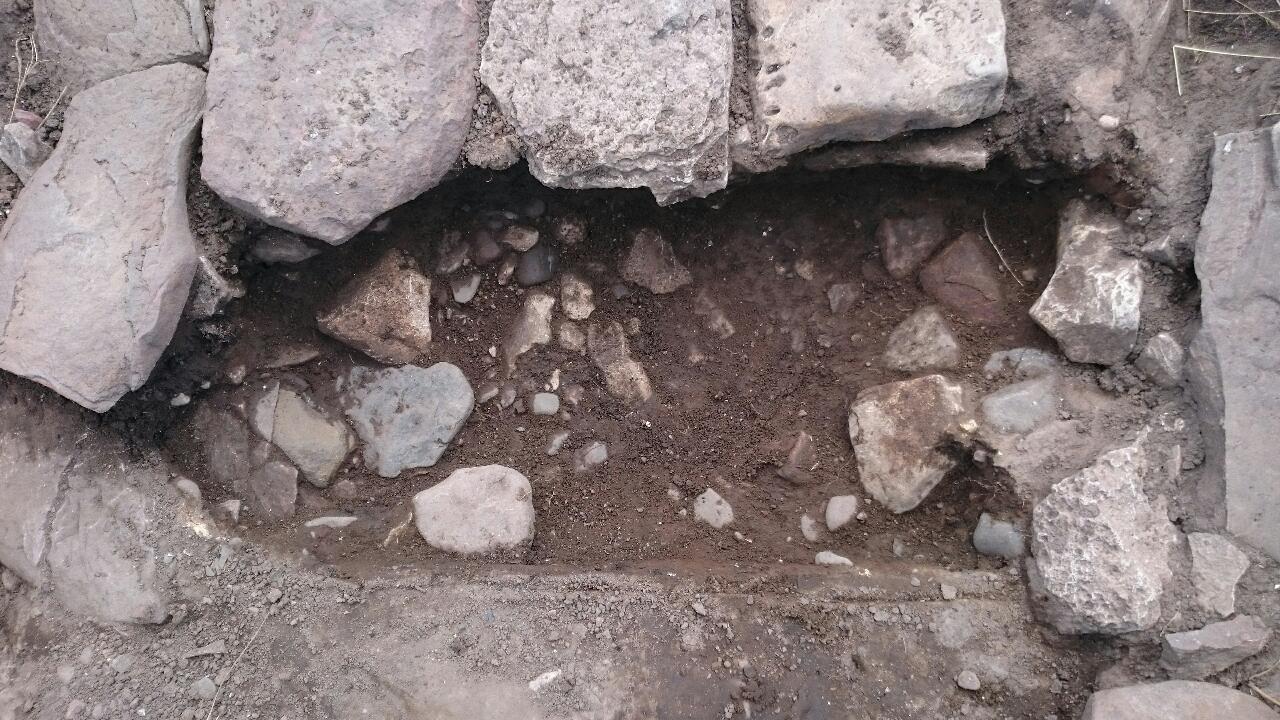
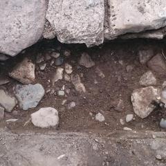
Context: LDF_3018
- Cut of Pit
- Xosé Gago
- 19-6-2016
-
Context: LDF_3021
- Cut of Pit
- John Castling
- 21-6-2016
-
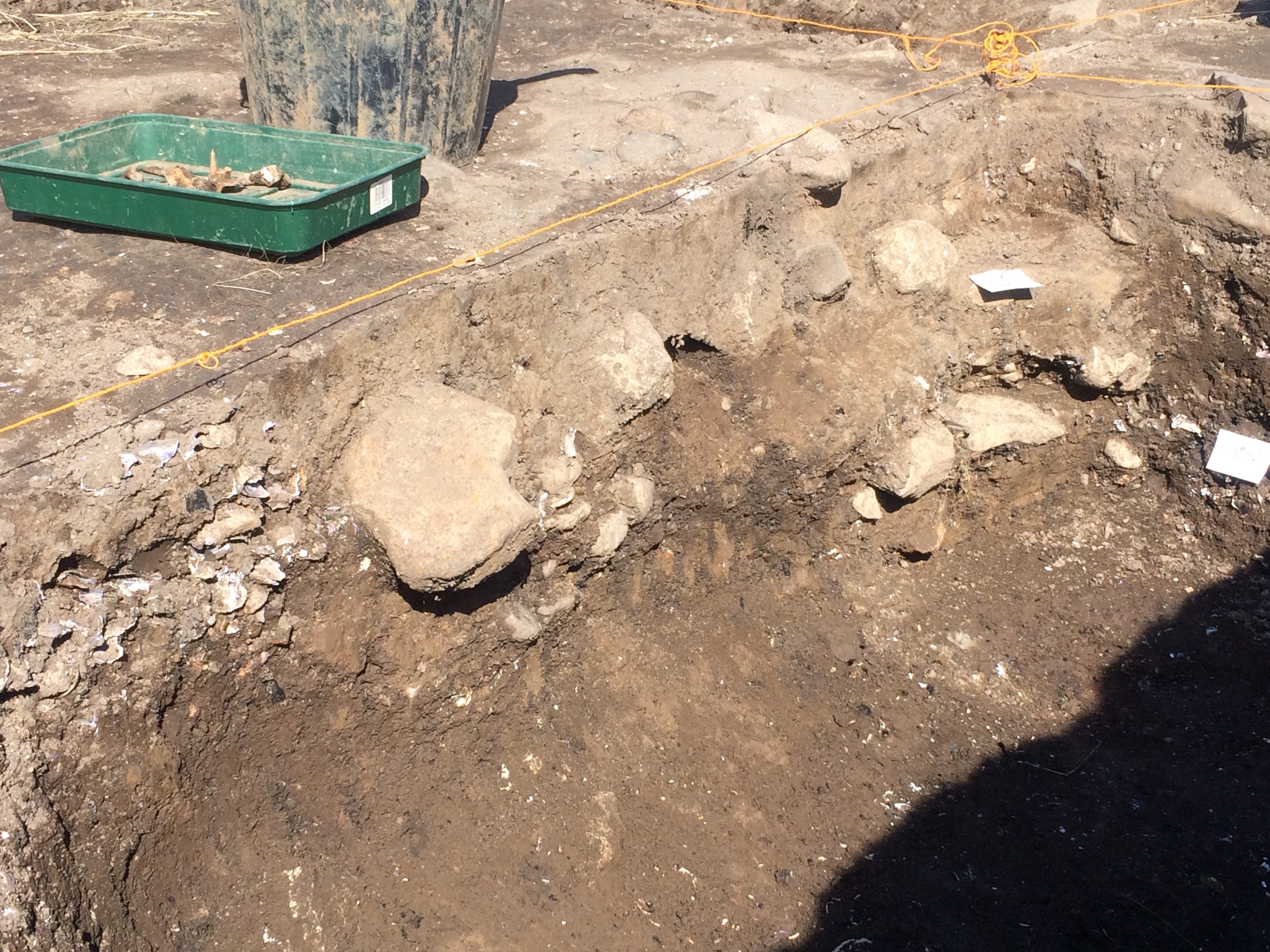
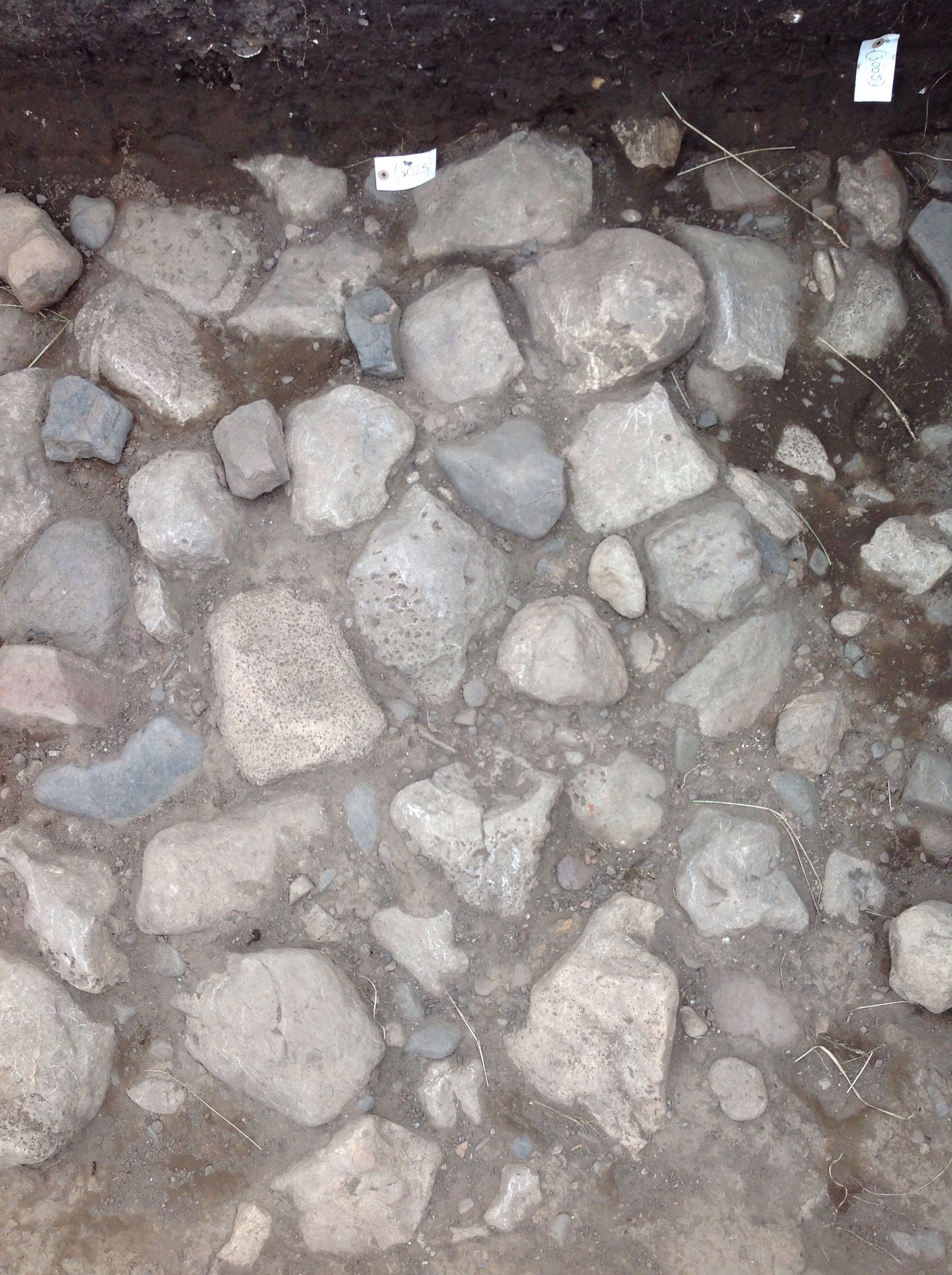
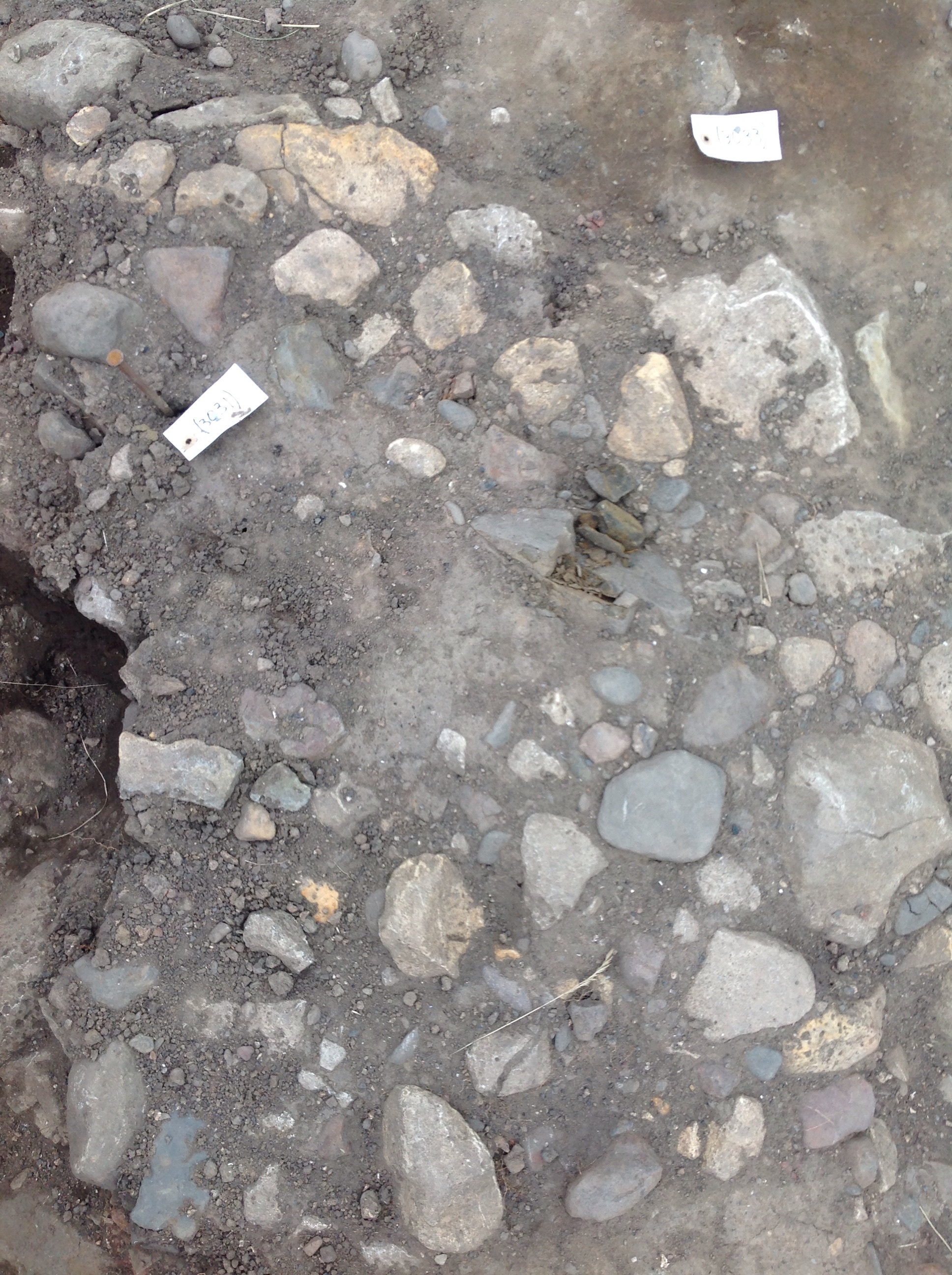
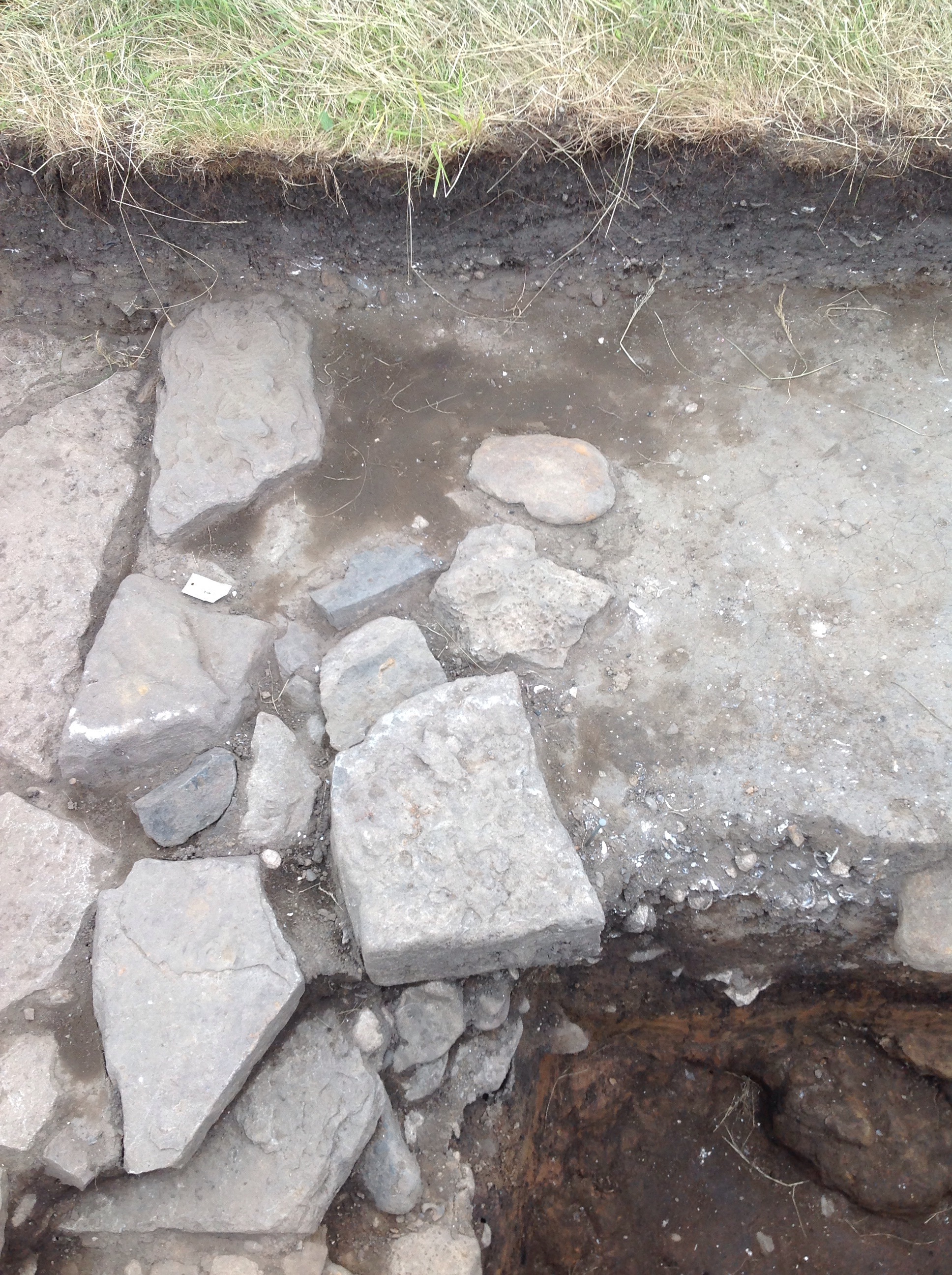
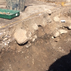
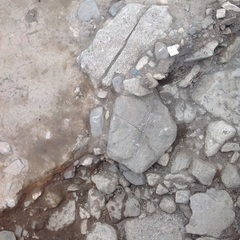
Context: LDF_3025
- Rubble layer
- Hannah O'Toole
- 22-6-2016
-
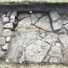
Context: LDF_3029
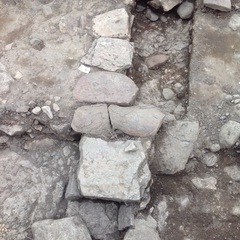
- Wall line to west of trench
- Brendon Wilkins
- 22-6-2016
-
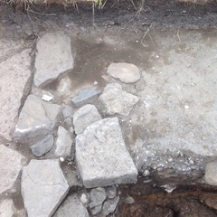
Context: LDF_3030
- Rubble Spread south of wall 3029
- Brendon Wilkins
- 22-6-2016
-
Context: LDF_3031
- Rubble Spread east of wall 3029
- Brendon Wilkins
- 22-6-2016
-
Context: LDF_3033
- layer east of wall 3029
- Brendon Wilkins
- 22-6-2016
-
Context: LDF_3034
- wall line
- Brendon Wilkins
- 22-6-2016
-
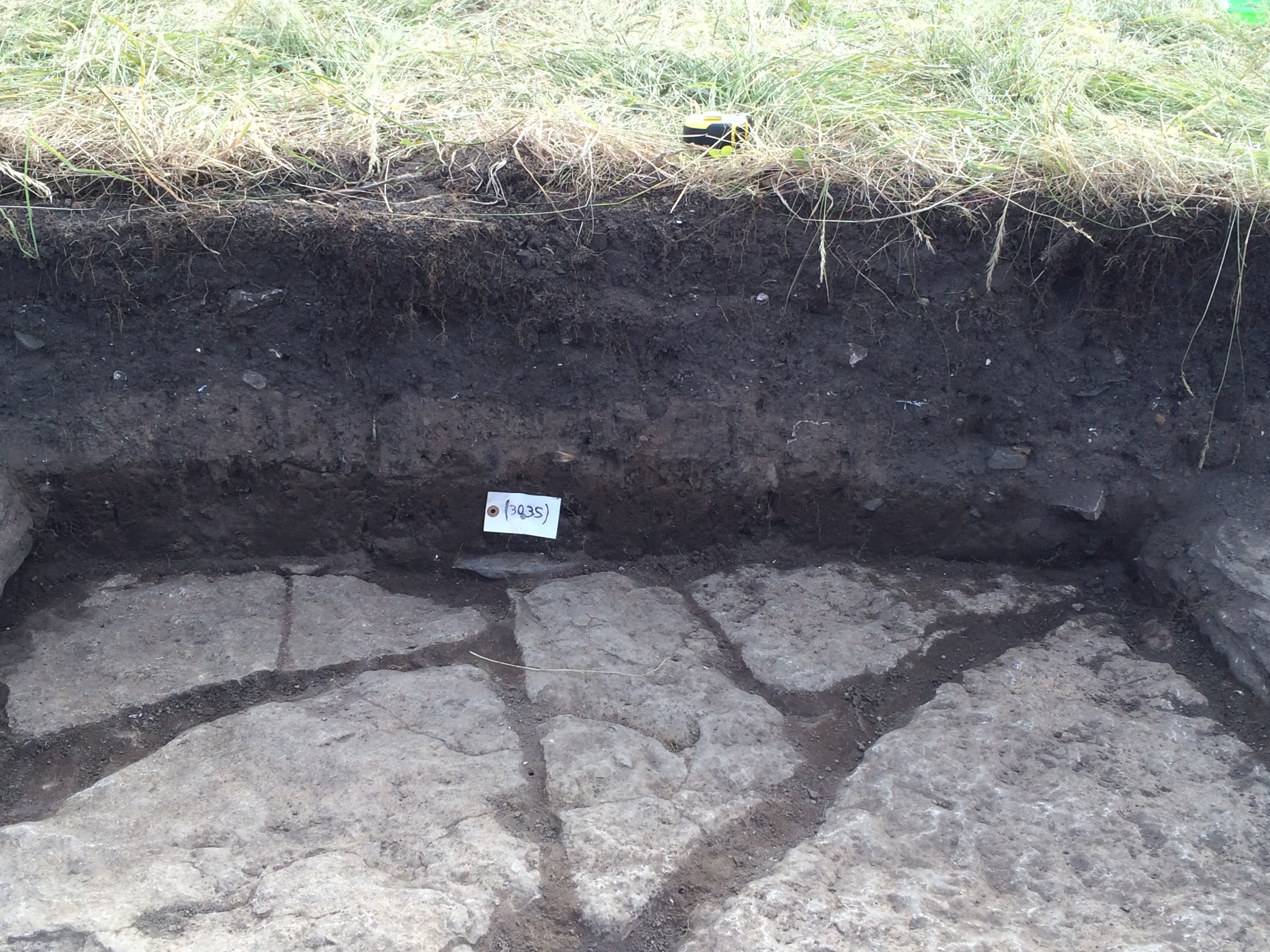
Context: LDF_3035
- Layer between walls 3034 and 3037.
- Brendon Wilkins
- 22-6-2016
-
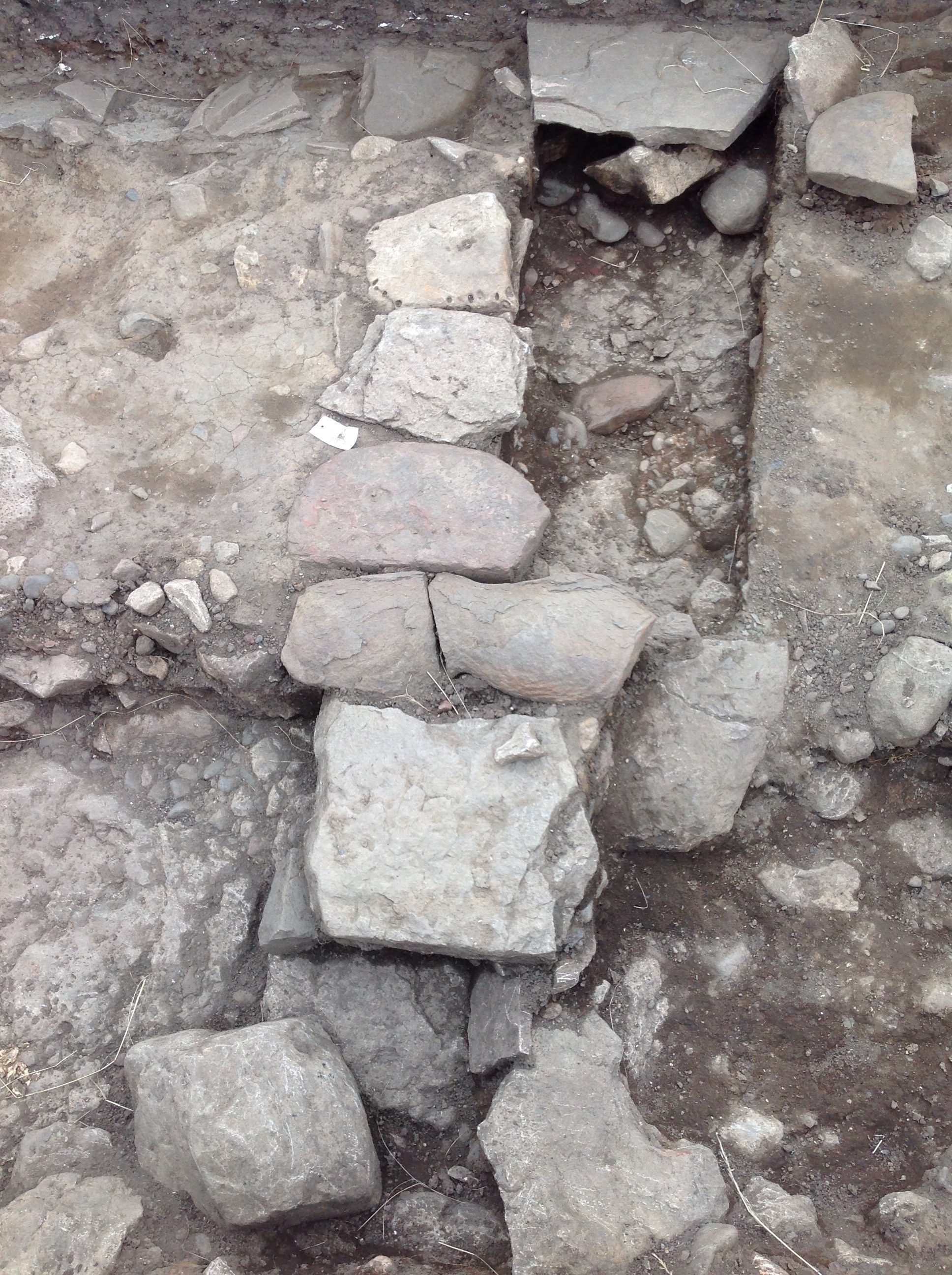
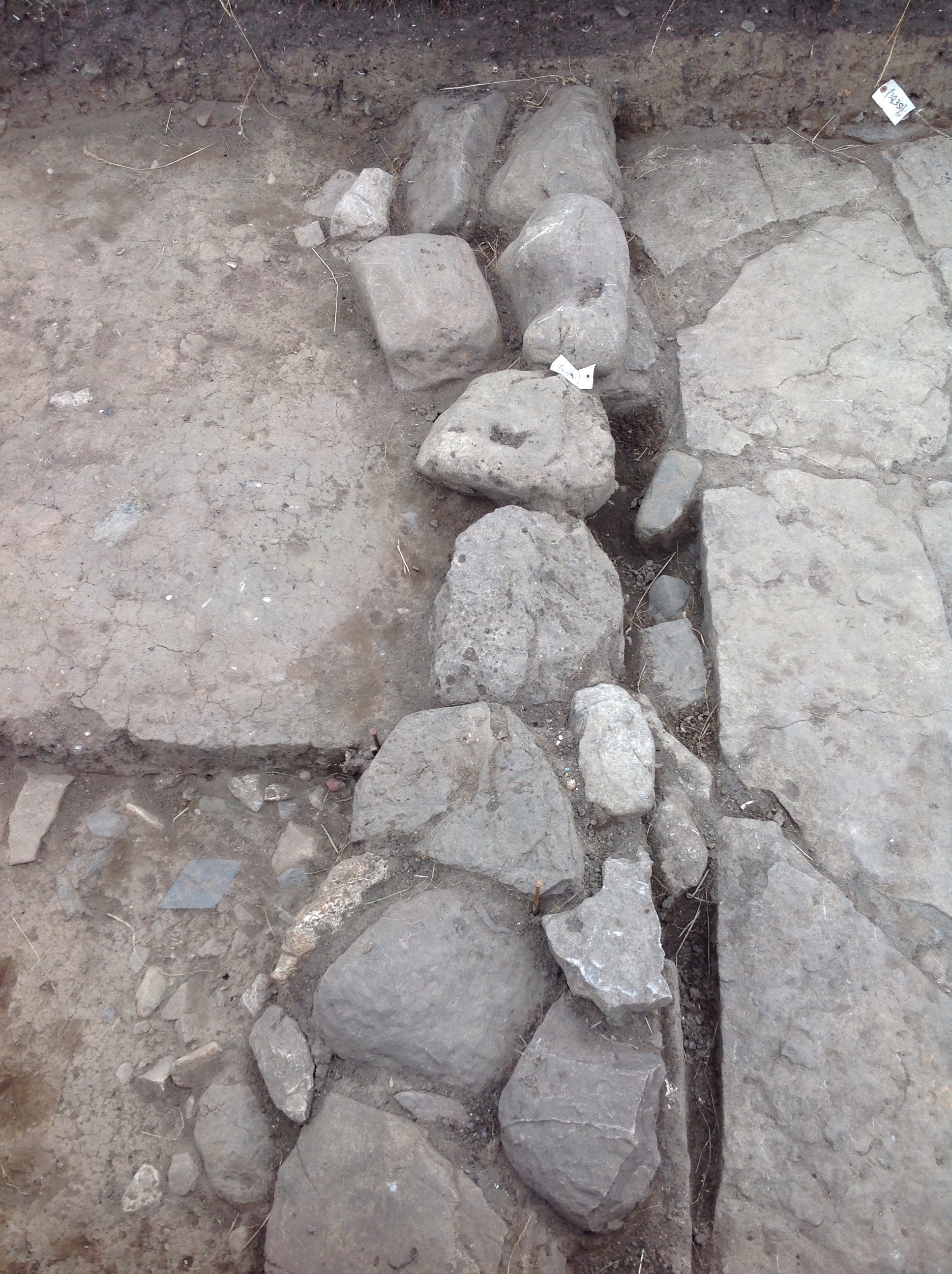
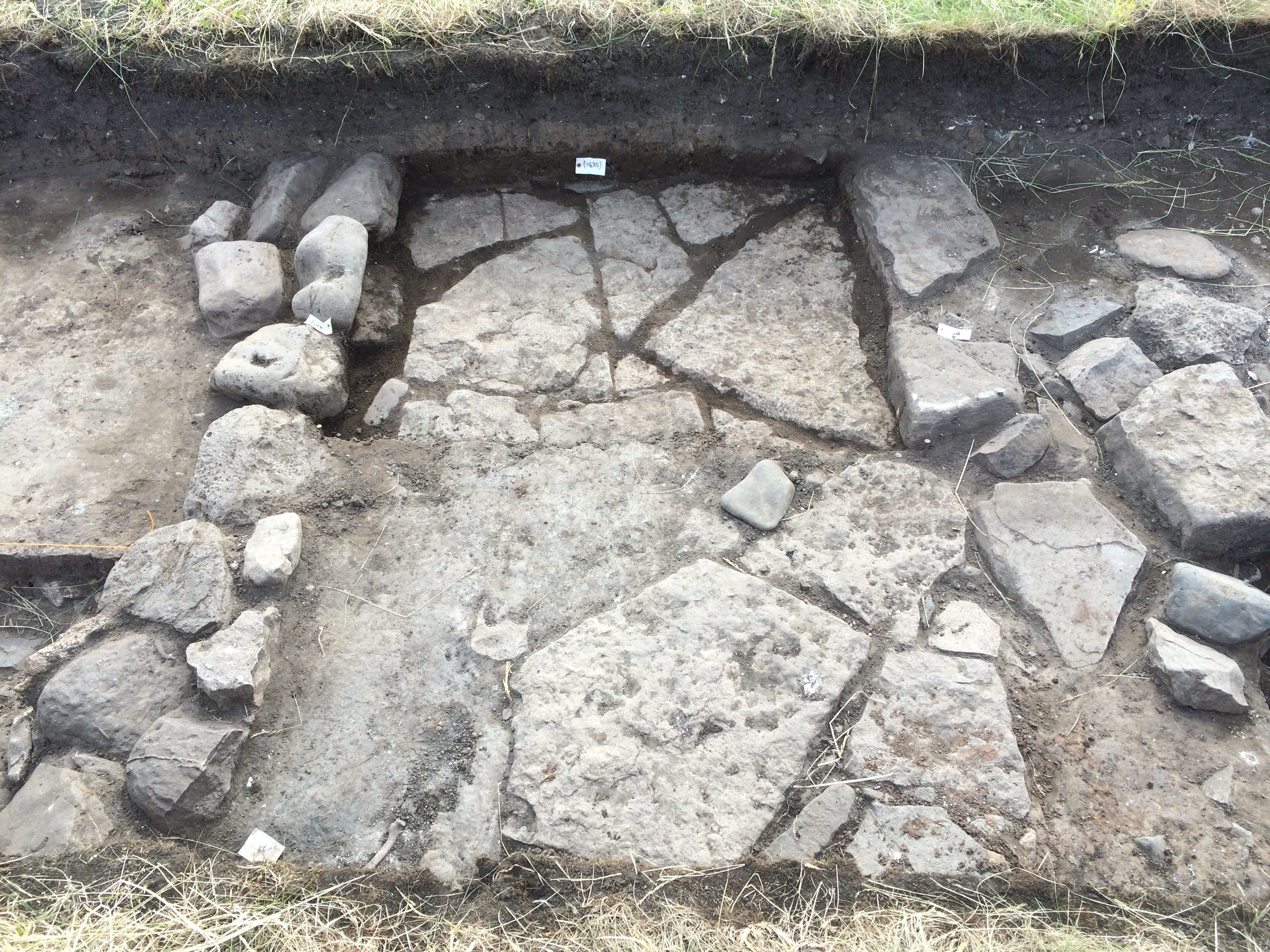
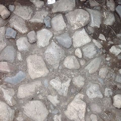
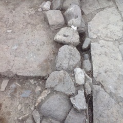
Context: LDF_3036
- Flag stones
- Brendon Wilkins
- 22-6-2016
-
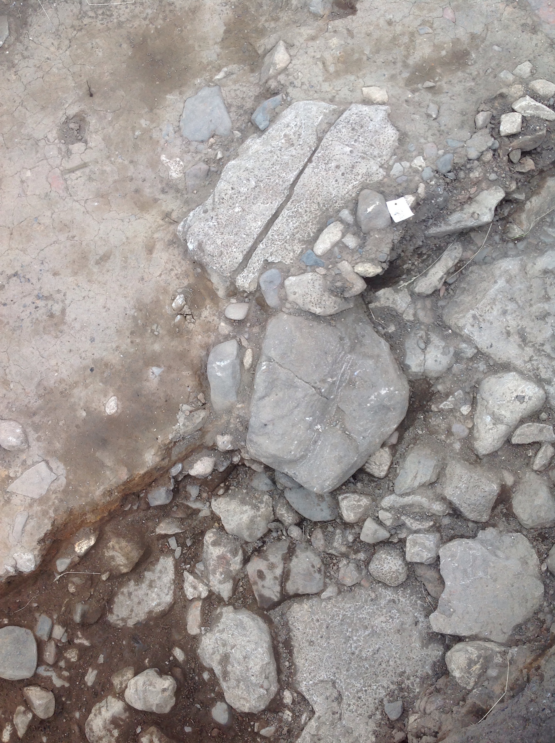
Context: LDF_3037
- Stone spread
- Brendon Wilkins
- 22-6-2016
-
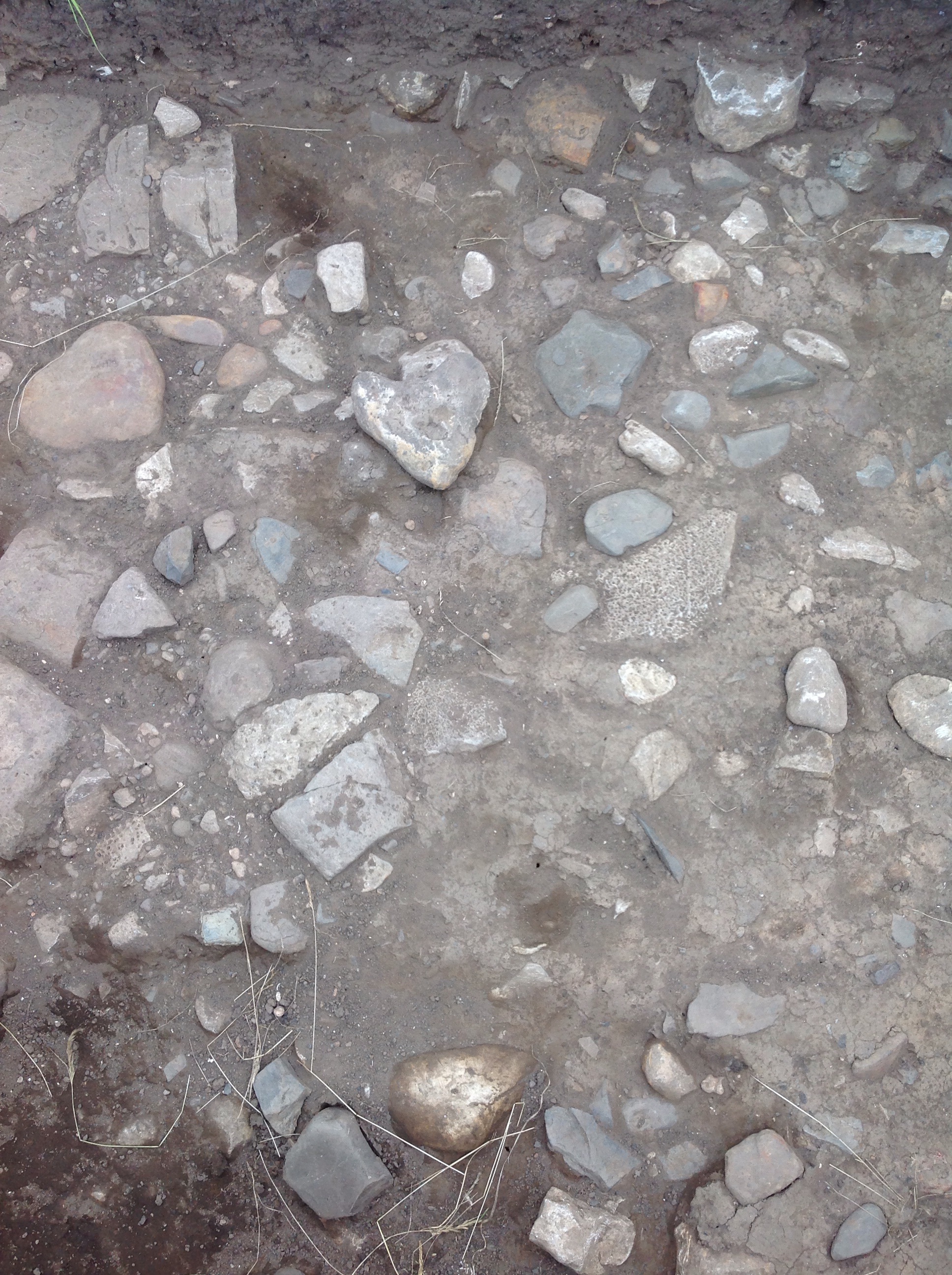
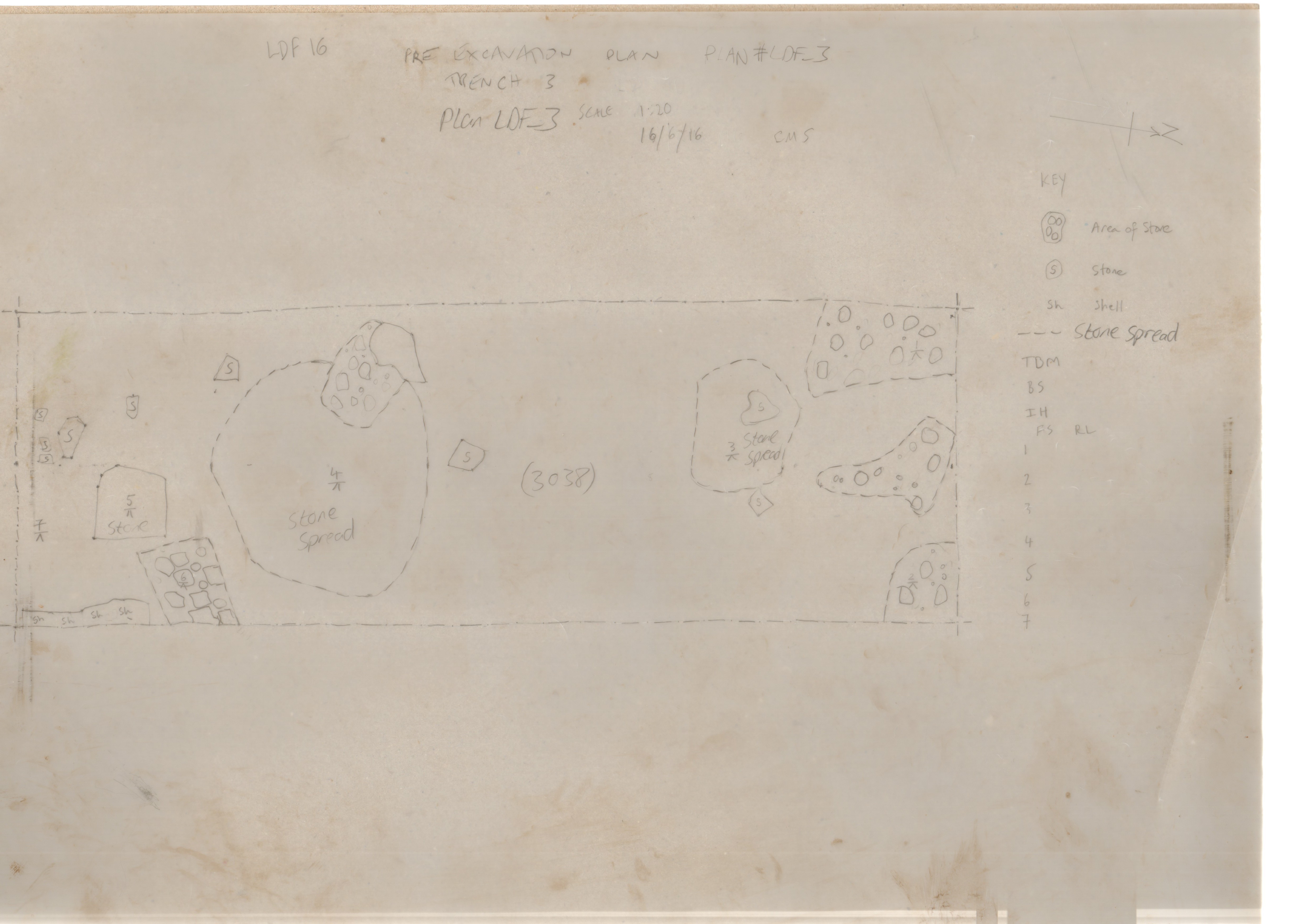
Context: LDF_3038
- Rubble layer
- Brendon Wilkins
- 22-6-2016