Basic Information
- Large Norman Limekiln pit in the northern area of TR2(W)
Contexts
-
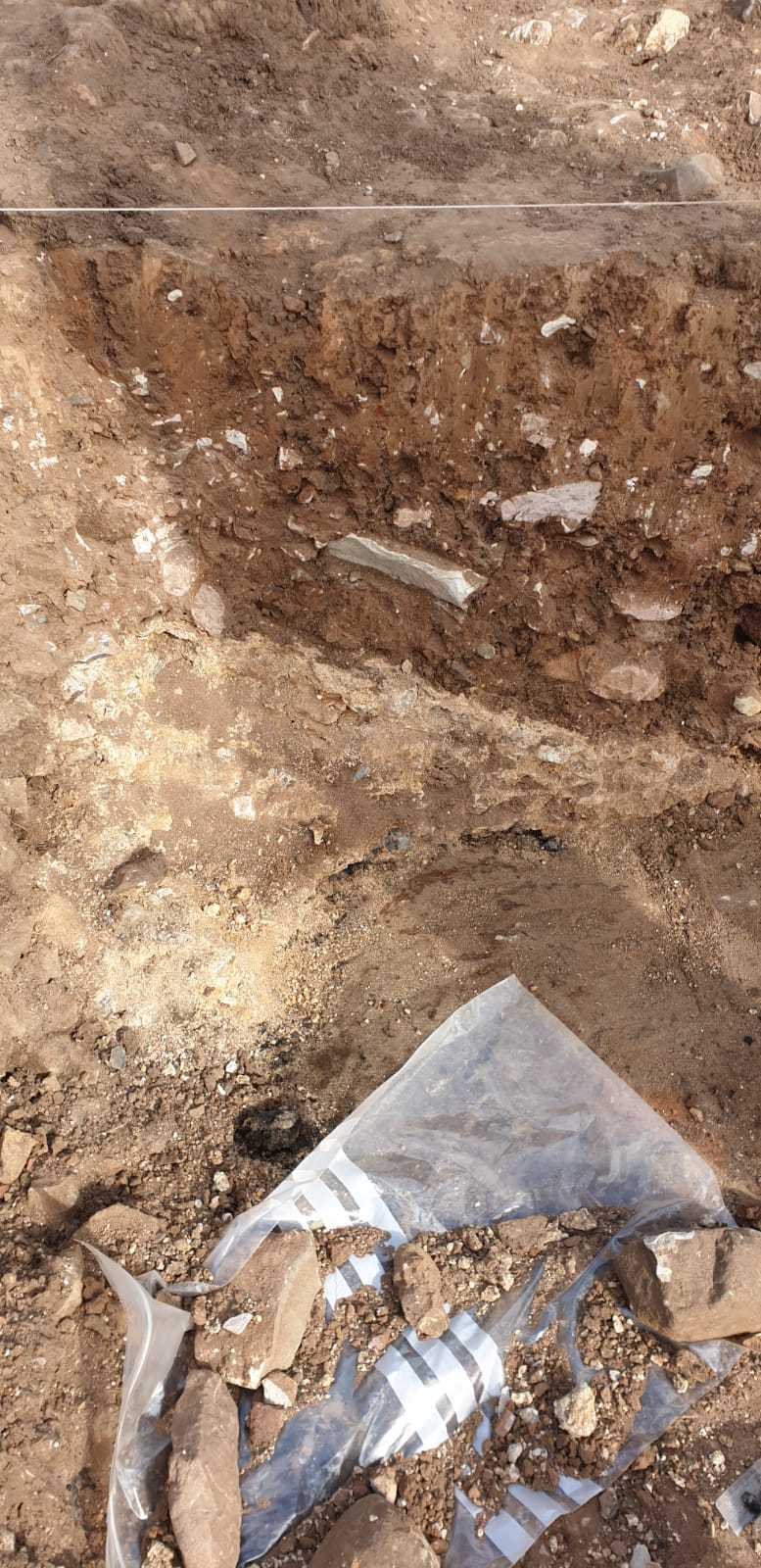
Context: LDF_2068
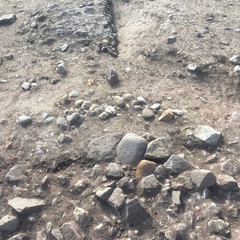
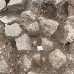
- Semi circle of stones in NW of trench 2 West
- Michael Eden
- 16-9-2018
-
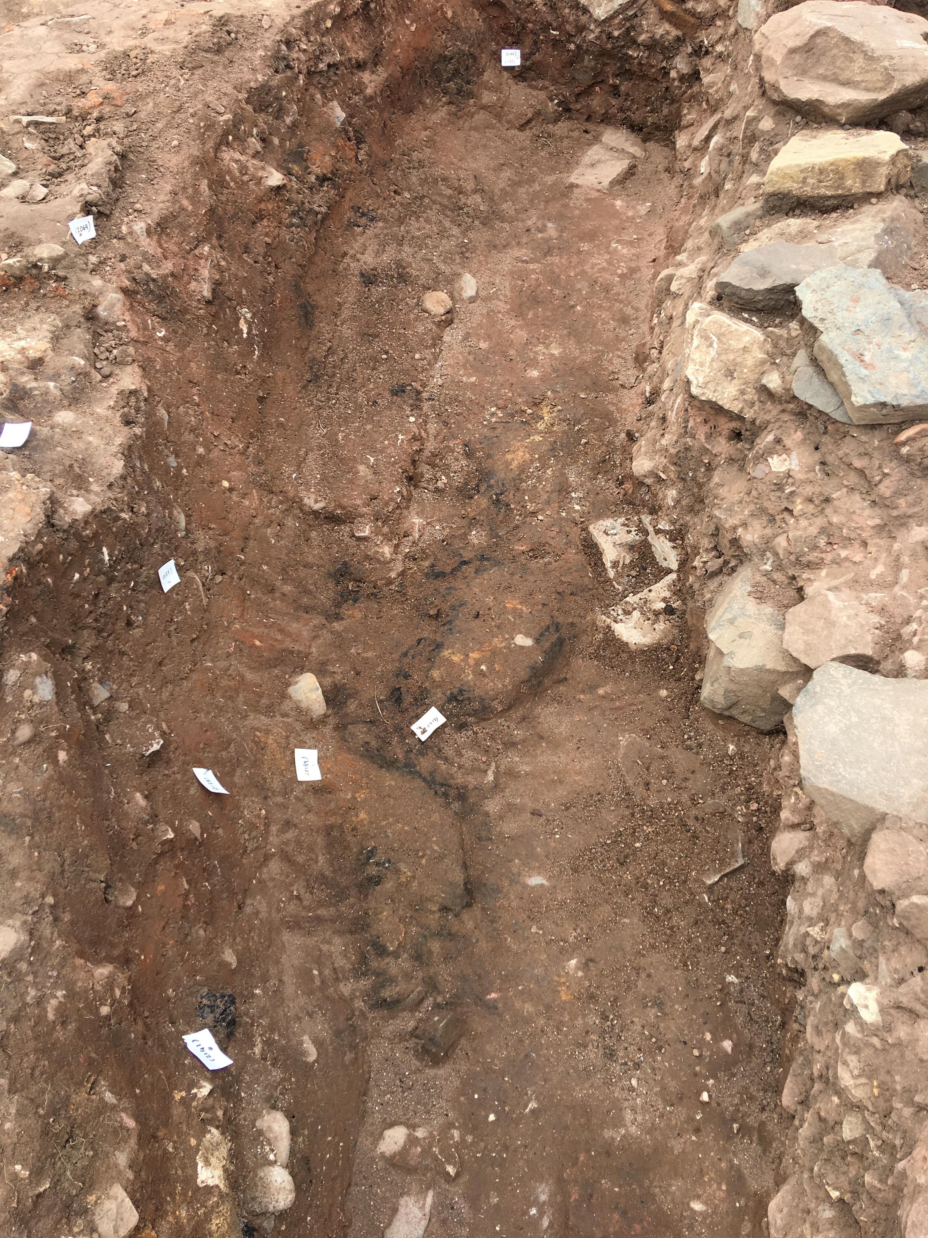
Context: LDF_2069
- Large stones on the middle of (2068) at the NW corner of trench 2 West
- Chris Swindells
- 16-9-2018
-
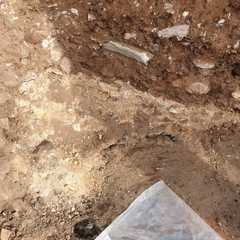
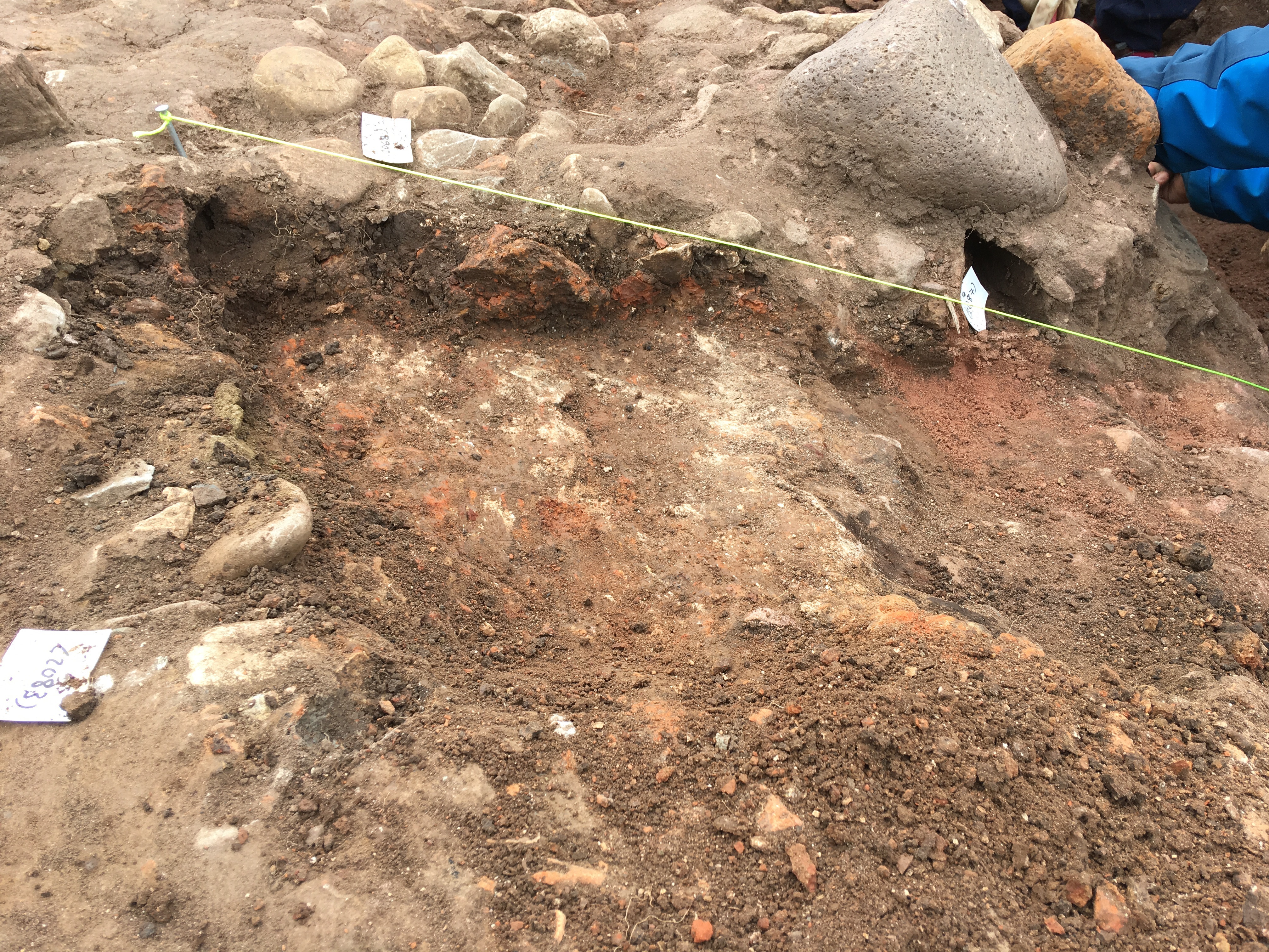
Context: LDF_2083

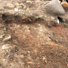
- Burnt clay deposit/layer
- Briar Chalmers
- 18-9-2018
-
Context: LDF_2131
- Ash layer in oven below (2083) Not Excavated
- Chris Swindells
- 12-9-2019
-
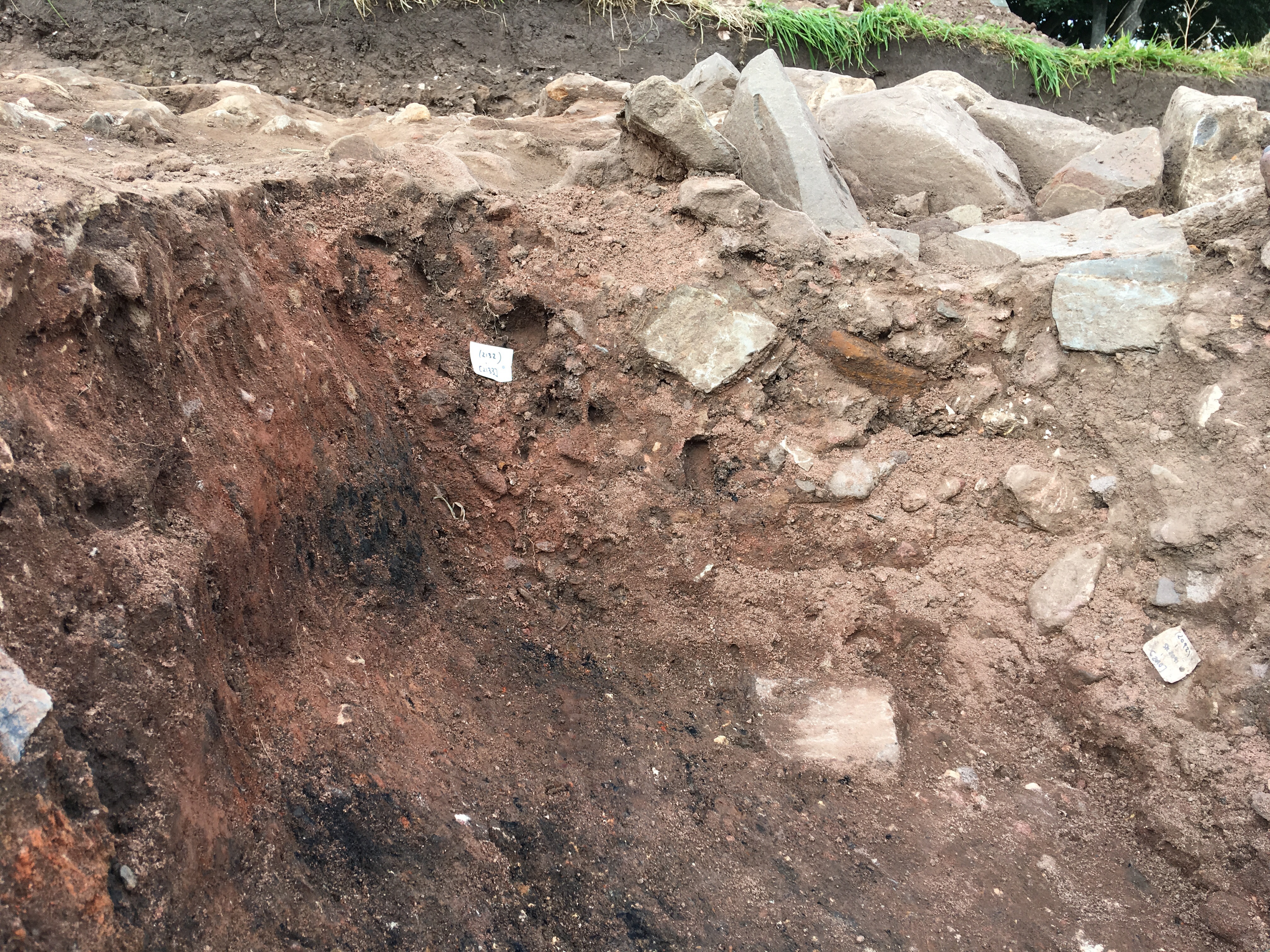
Context: LDF_2132
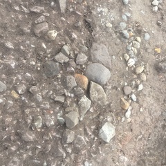
- Pink sand stone fill of [2133]
- Chris Swindells
- 13-9-2019
-
Context: LDF_2133
- Cut of a large Limekiln Pit F217
- Chris Swindells
- 13-9-2019
-
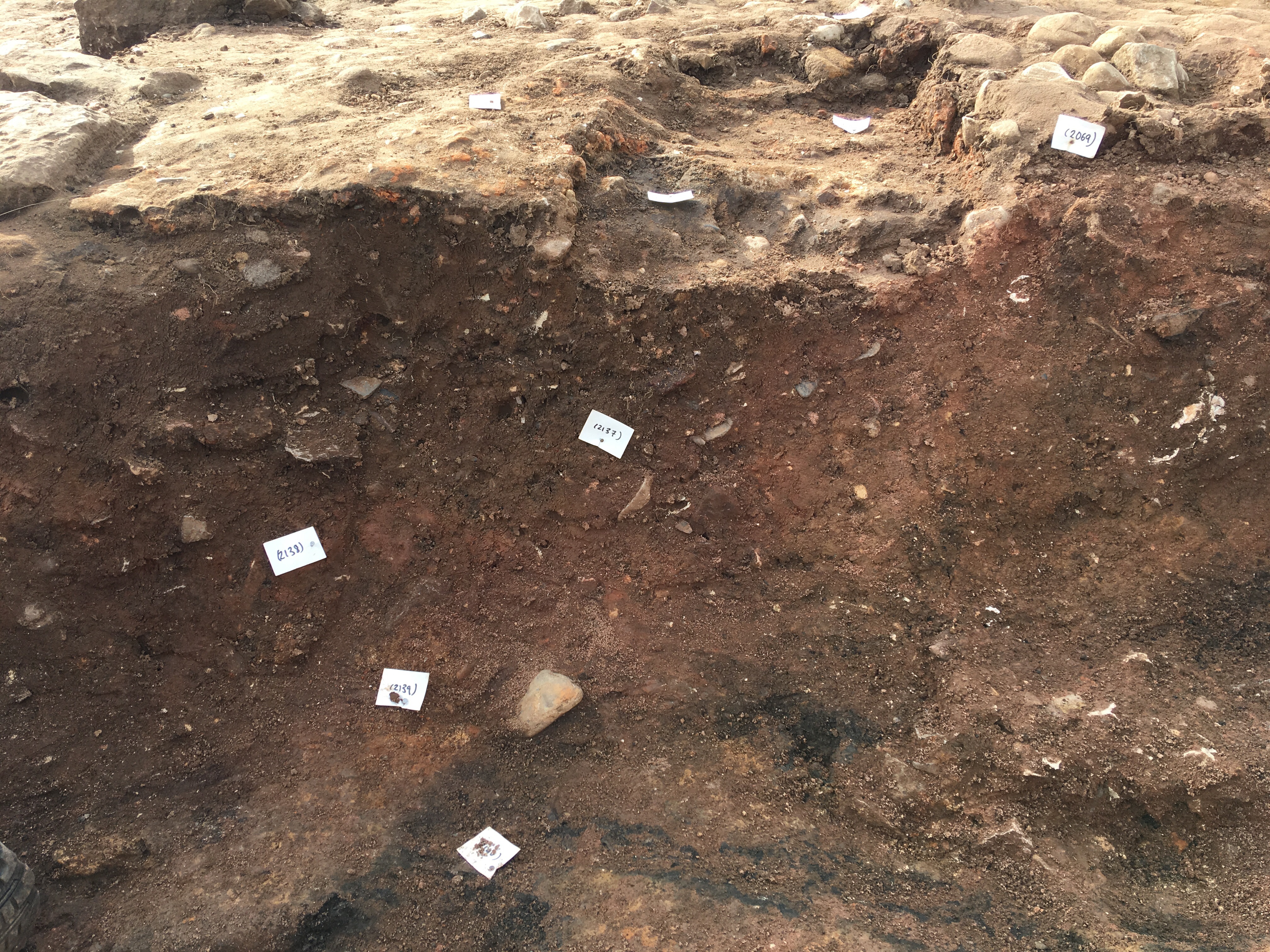
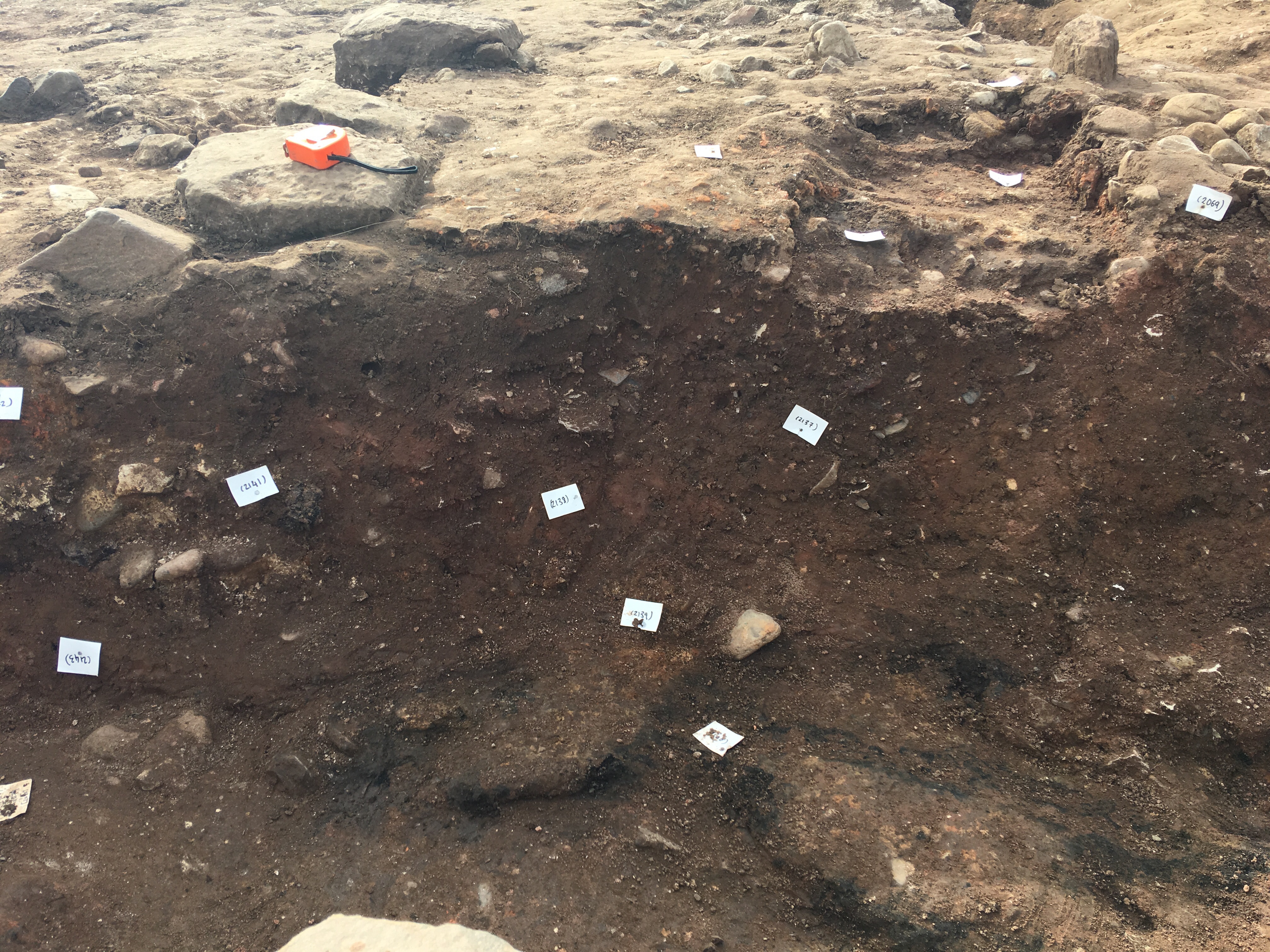
Context: LDF_2137
- Brown clayey silt. [2133] is cut into this deposit. Below (2087)
- Chris Swindells
- 13-9-2019
-
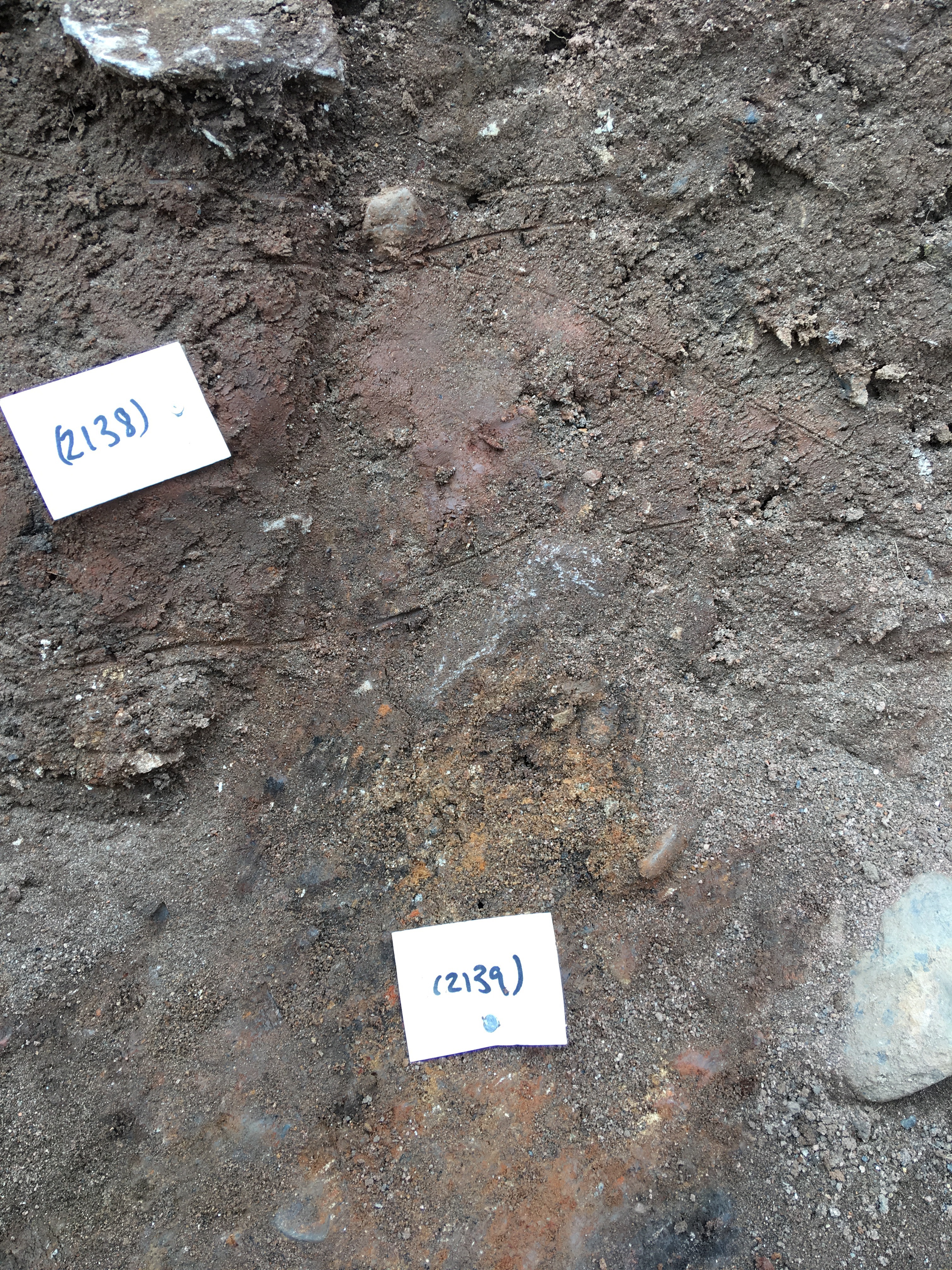
Context: LDF_2138
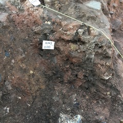
- Pinkish red clay under (2137)
- Chris Swindells
- 13-9-2019
-
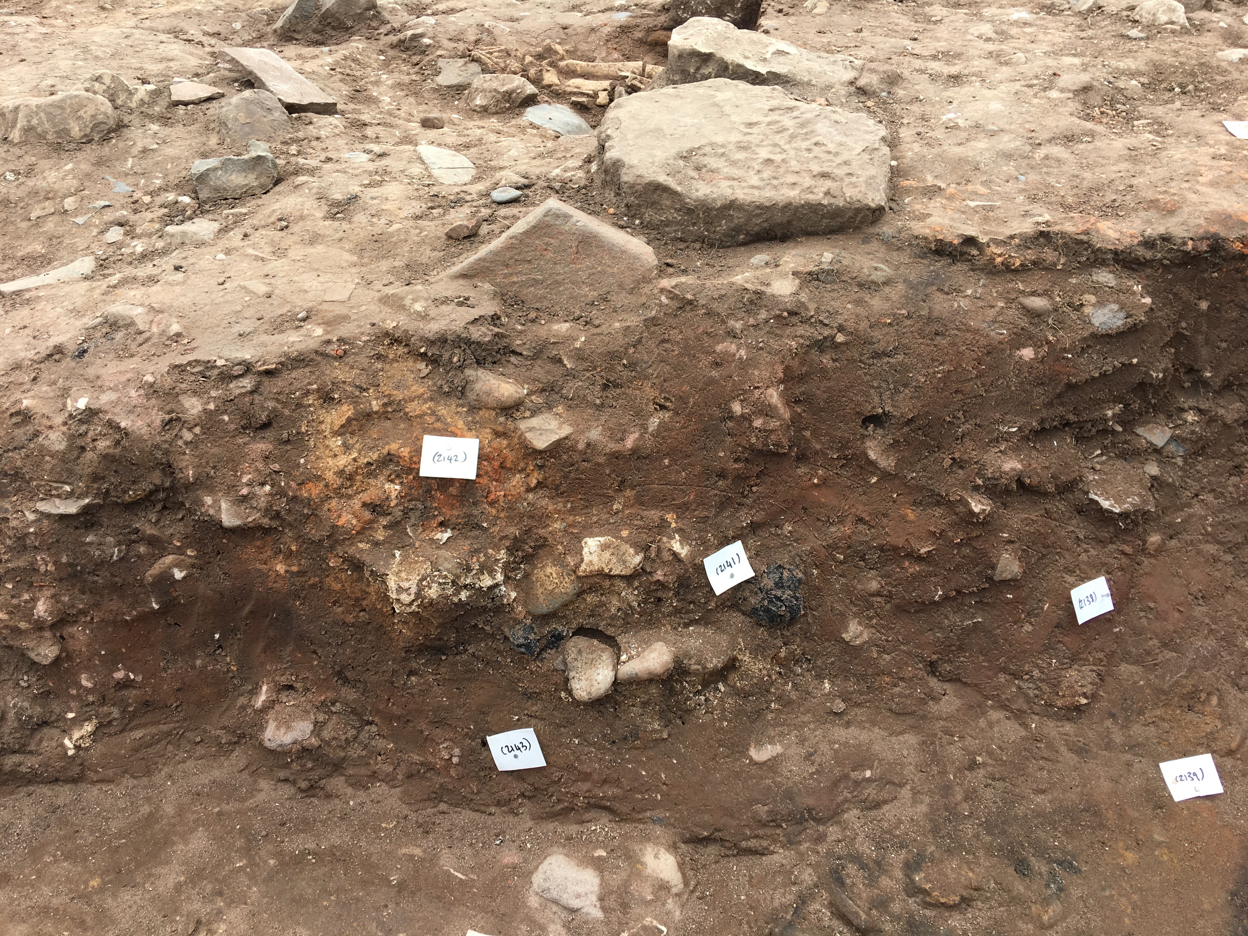
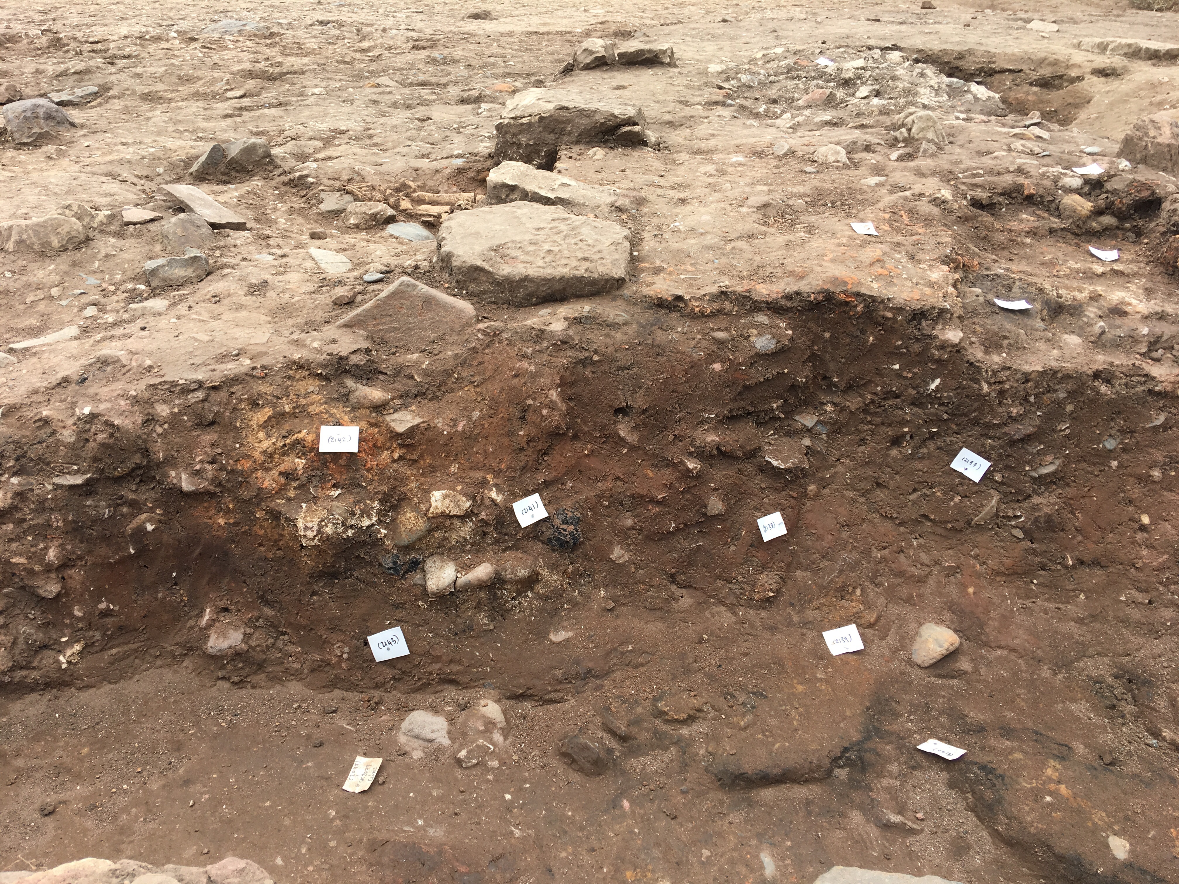
Context: LDF_2139

- As ashey /limey layer mixer with silt and charcoal. On top of (2140)
- Chris Swindells
- 13-9-2019
-
Context: LDF_2140
- black compact burnt layer under (2139)
- Chris Swindells
- 13-9-2019
-
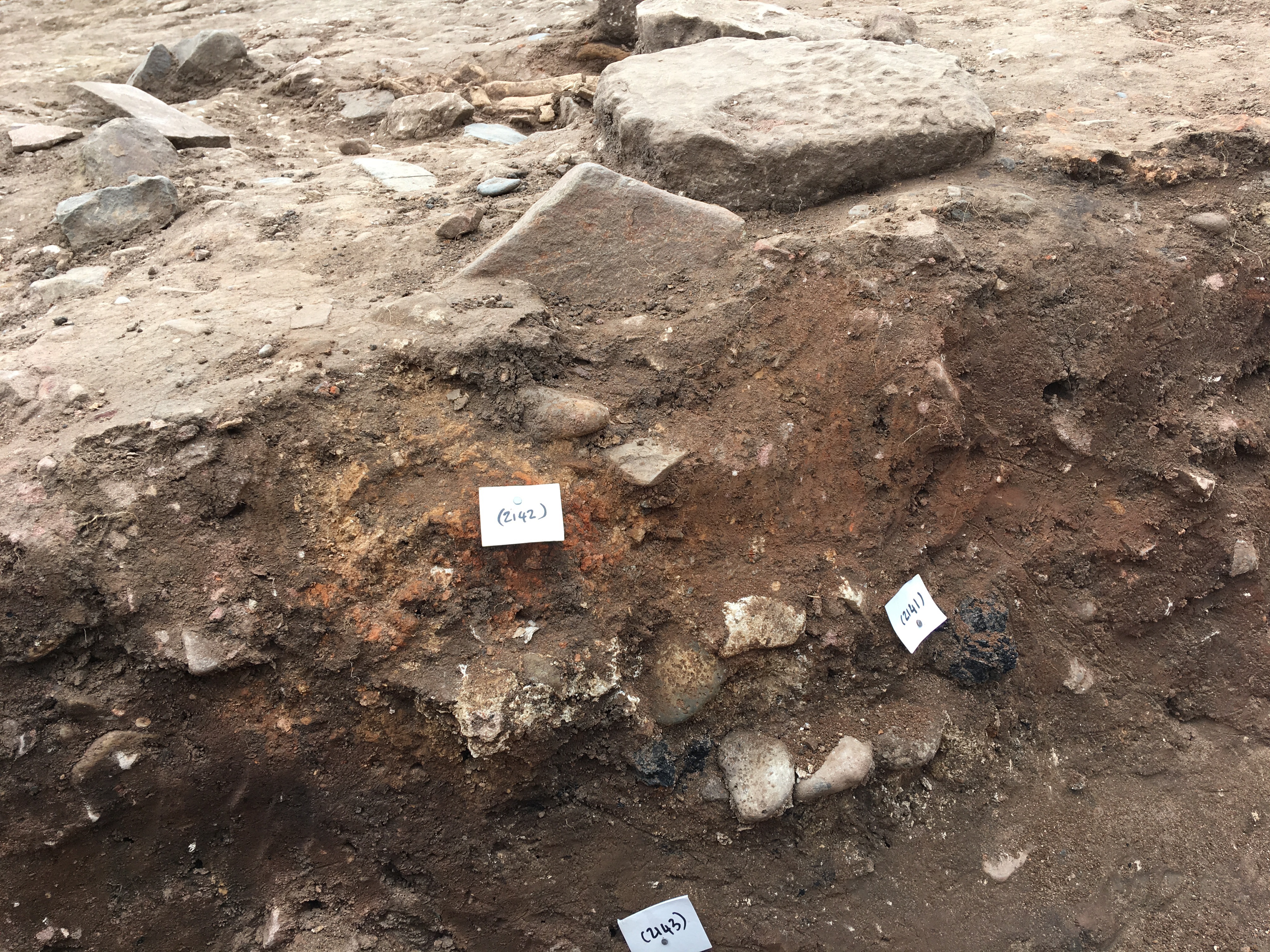
Context: LDF_2141
- White ashy lens under (2138)
- Chris Swindells
- 13-9-2019
-
Context: LDF_2142
- Burnt clay on top of (2141)
- Chris Swindells
- 13-9-2019
-
Context: LDF_2143
- Brown clayey silt under (2141)
- Chris Swindells
- 13-9-2019
-
Context: LDF_2165
- Homogenous pinkish brown sandstone cobble fill of limekiln pit F217, likely intentional backfill of the limekiln
- Timothy Lidbetter
- 10-9-2020
-
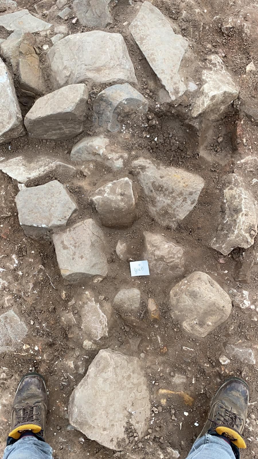
Context: LDF_2167
- Dark brown loamy silty deposit around stones on western edge of F217
- Chris Swindells
- 10-9-2020
-
Context: LDF_2266
- Upper burnt deposit/layer visible in cut of F217 recorded when sampling occurred for archaeomagnetic dating.
- Nat Jackson
- 18-9-2020
-
Context: LDF_2268
- Burnt base of limekiln pit F217 (Burnt Natural)
- Nat Jackson
- 18-9-2020
-
Context: LDF_2297
- Collapsed wall in the base of F217, probably associated with structure 2287, a curvilinear stone feature internal to limekiln pit F217 - likely part of the kiln structure/furniture
- Nat Jackson
- 21-9-2020
-
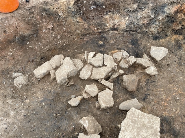
Context: LDF_2350
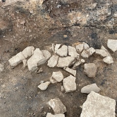
- Dump of burnt limestone slumped in at the western edge of F217 limekiln pit
- Arthur Tucker
- 24-9-2021
-
Context: LDF_2590
- Thin burnt limestone layer at base of Limekiln
- Ben Swain
- 10-10-2023
-
Context: LDF_2591
- Thin burnt black and reddened soil at the base of the limekiln beneath the burnt lime
- Ben Swain
- 10-10-2023


Narrative
-
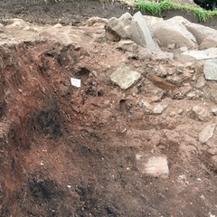
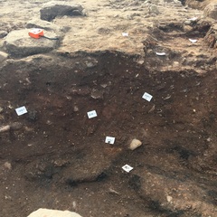
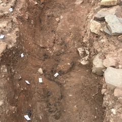
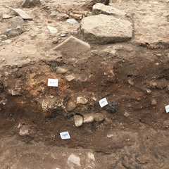
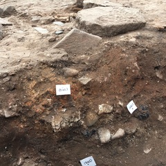
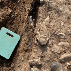
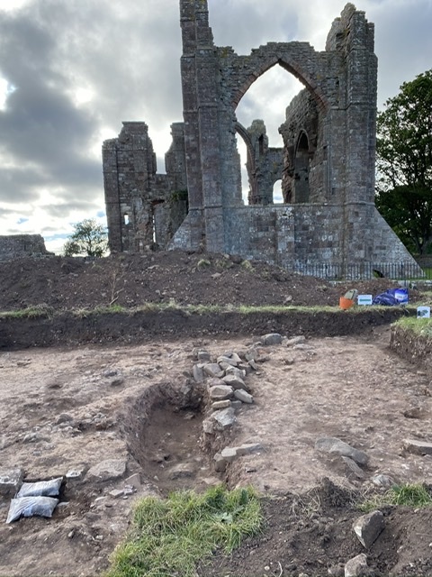
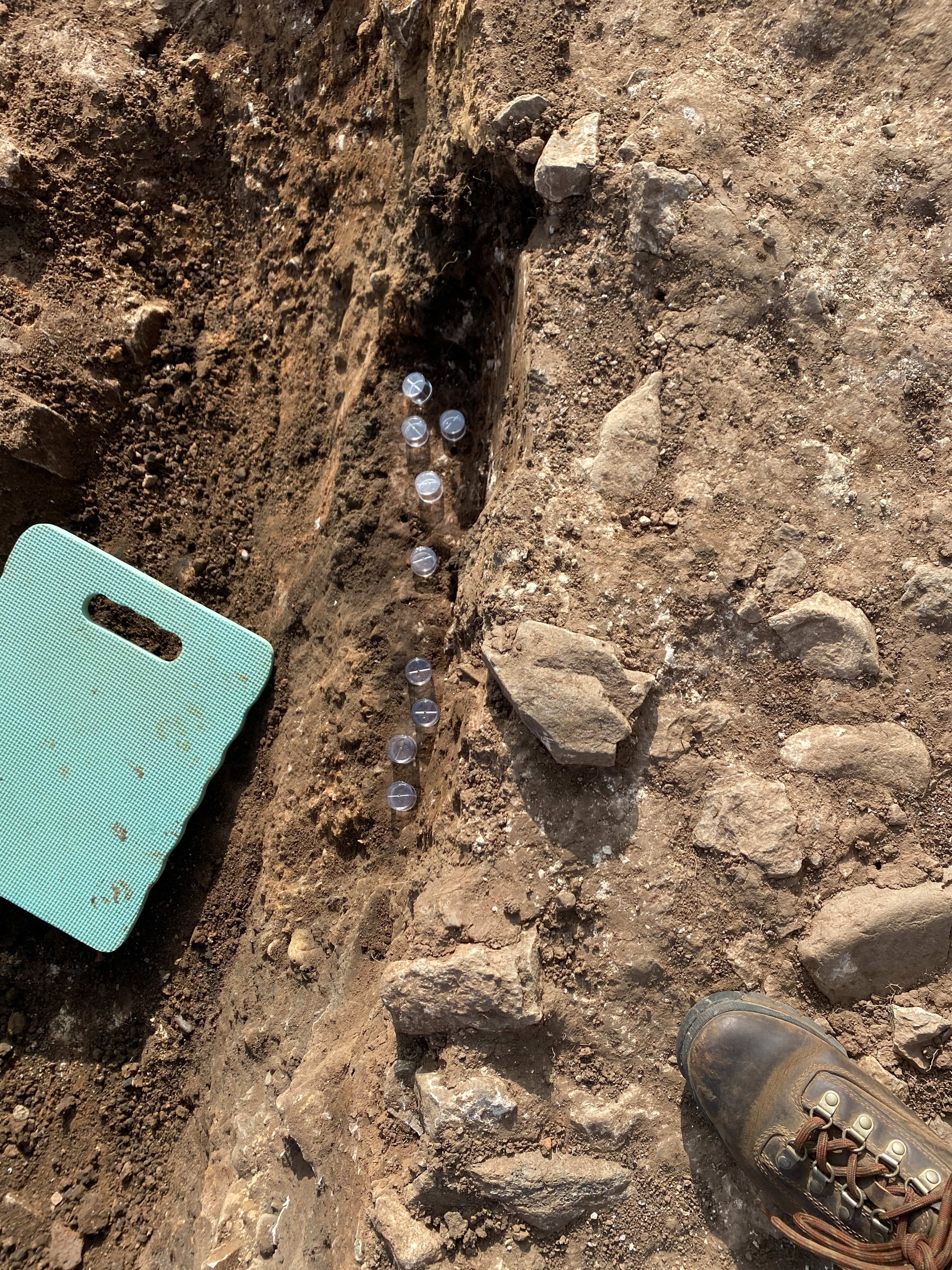
- A large circular feature partially seen in the northwest extension of trench 2. The feature has a potential diameter of 9m, what is seen in the trench has a length of 5.70m, is 4.32m wide and 0.42m deep. The function of the circular feature is currently up for debate, it may be some kind of oven or industrial structure. Within the feature there are two distinct fills, one is seen around large stones that were in the south west of the feature and the other is a very homogenous fill in the rest of the feature made up of sandy clay with degraded/degrading pink sandstone in. Within the feature there was a wall F248, the function of this is also currently unknown, it is sat on what we think is the base of the feature, this is a burnt layer (2268). The feature appears to be one of the latest in the north west extension, the only later features in the area are three burials which cut the feature, (F219, 220 and 249). On the western side of the feature is a stone structure (2157) which appears to be some sort of stoke hole or flue, it has something to do with F217, and potentially the fill (2177) within this is some of the earliest. On one of the stones in the cut is a burnt dauby clay material. The feature appears to cut through layers of burning, including (2166) from which a sample <147> was taken for mag sus dating. Another sample <149> was taken from the basal burnt deposit (2168). On the base of the feature in the south west corner was a jumble of stones (2297) that were possibly wall collapse, probably part of F248.
-
- Nat Jackson
- 12-10-2020
-
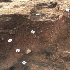
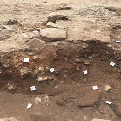
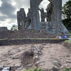
- Update as of the 2021 field season: This feature is now being interpreted as an 11th century Norman limekiln likely associated with the construction of the nearby Norman priory. This season, Tr2(W) was extended to the north and to the west, exposing the entirety of this feature. Its final established measurements are a maximum diameter of 9.50m and a maximum excavated depth of 0.55m. The kiln has at least one associated flue to the west (F294) that was fully excavated within the LOE this season with a potential second flue or raking hole to the east, though this needs further investigation to confirm. A curvilinear stone built wall within the limekiln (F248) is likely to represent part of the internal structure or kiln furniture. It is possible that a mirroring wall exists symmetrically opposite - though this would also require further excavation to confirm. A small sondage was excavated into the base of the pit revealing that it was cut into the natural which has been extremely heat affected, resulting in bands of intense black and red discolouration. At the base of this sondage, a burial was discovered (F714) but due to the small size of the area exposed (0.46mx0.42m) the skeleton was left in-situ. The sequence of deposition within this feature suggests that it was intentionally backfilled after its final use with a fairly homogenous crushed pink sandstone fill that may represent waste material from the construction of the priory. A layer of burnt limestone (2350) was observed lining the base and western edge of the pit cut which may represent material leftover from the final use of the kiln.
-
- Ben Swain
- 1-2-2022
Dating Narrative
- No Interpretations