Short Description:
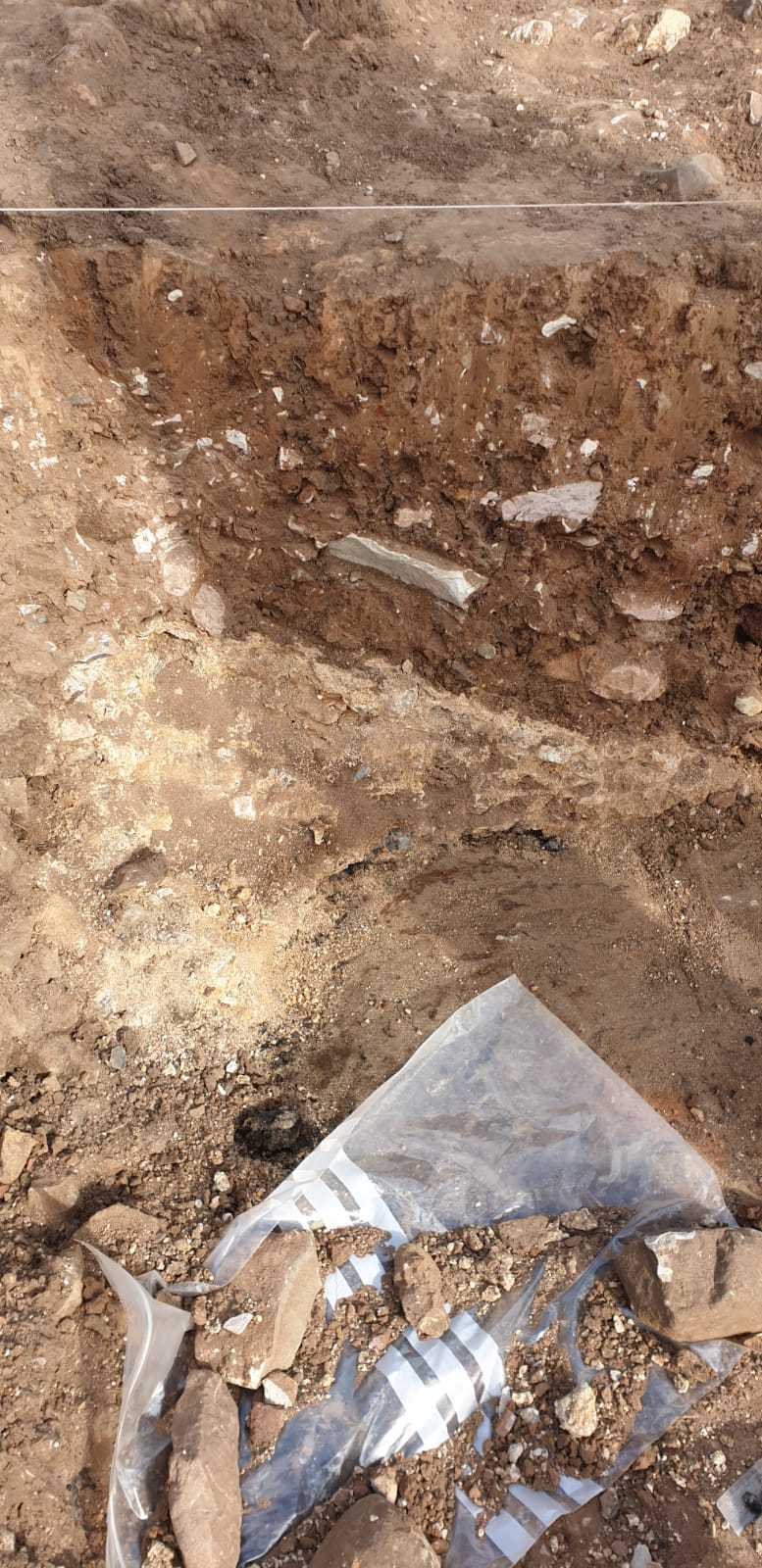
Dump of burnt limestone slumped in at the western edge of F217 limekiln pit
Issued to
Arthur Tucker | 24/09/2021
Interpretation
-
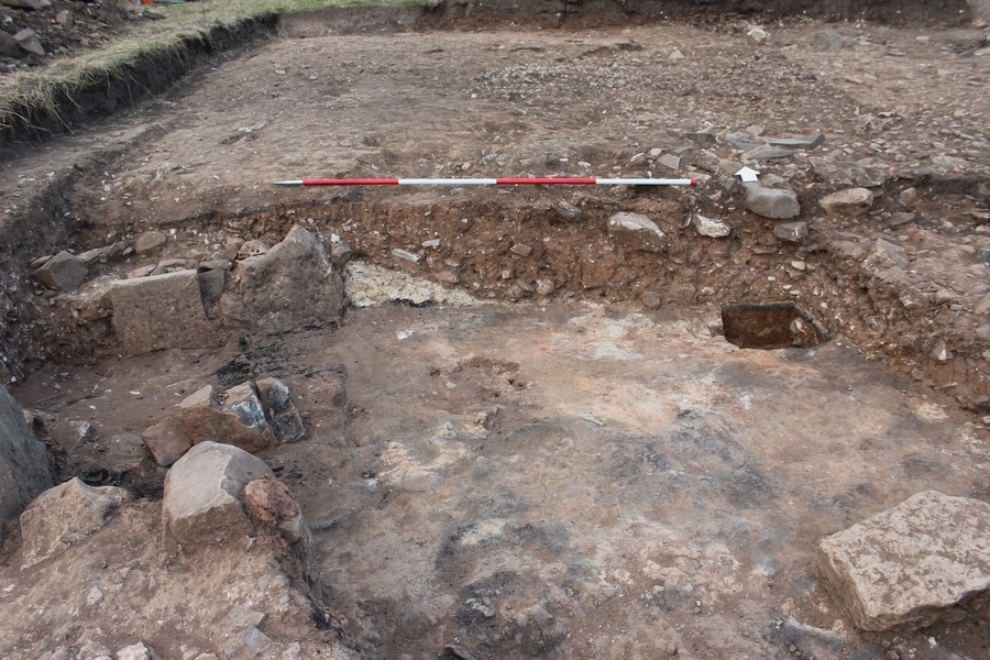
- Dump or slumping of burnt lime near the base of the western edge of the limekiln F217 in TR2(W)
-
- Ben Swain
- 25-9-2021
Sketch Photo
Description
- Firm
- Light whiteish yellow
- Sandy silt
- Underneath burnt wood 10% small- large sub angular stone Chunks removed with stone embedded within them
- Length: 0.65 Width: 0.25 Thickness: 0.30
- Limestone related to kiln
- Hand ex/ dry
Finds
Feature
-
Feature: LDF_217
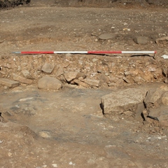
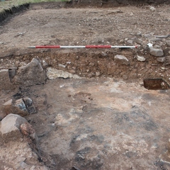
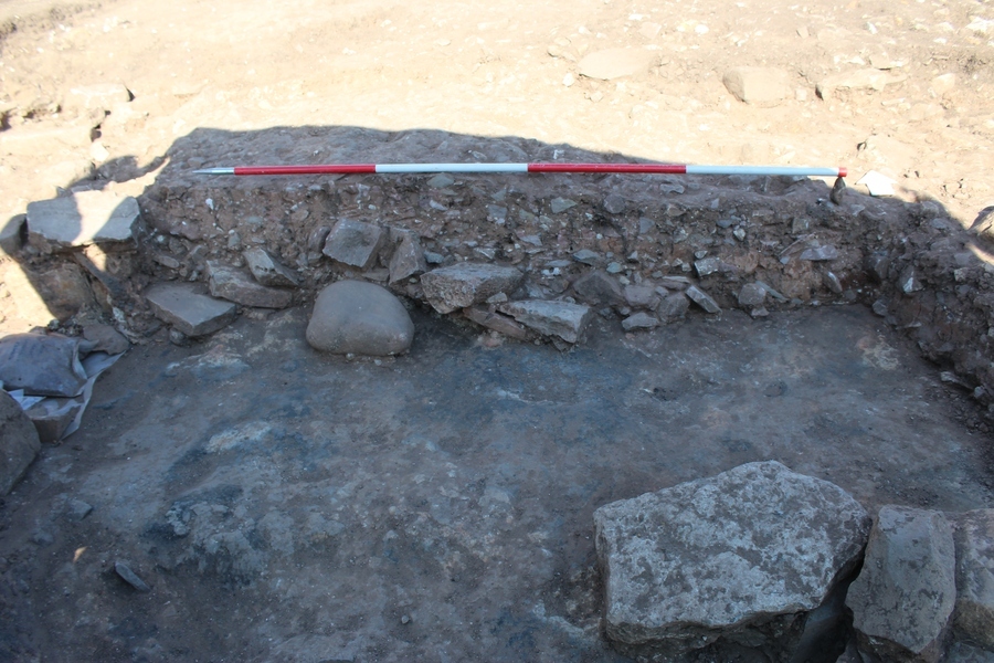
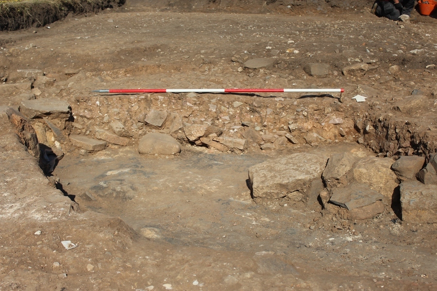
- Large Norman Limekiln pit in the northern area of TR2(W)
Site Photos
-
Photo: LDF_215871
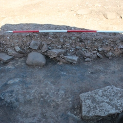
- N looking shot of S facing section through limekiln pit F217 [2133] (2350) (2165). 2m scale
-
Photo: LDF_215872
- N looking shot of S facing section through limekiln pit F217 [2133] (2350) (2165). 2m scale
-
Photo: LDF_216484
- N looking photo of south facing section of F217. 2m scale
-
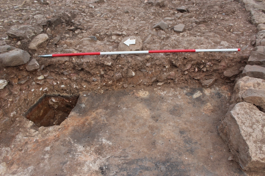
Photo: LDF_216485

- E looking photo of W facing section of F217. 2m scale
-
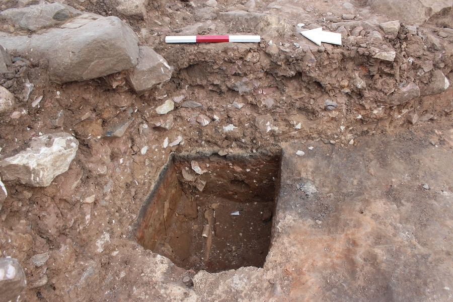
Photo: LDF_216487
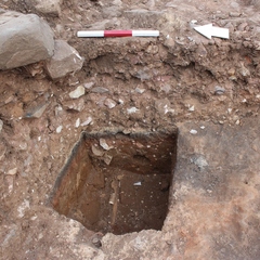
- E looking photo of W facing section of F217, close up of small sondage. 2m scale
-
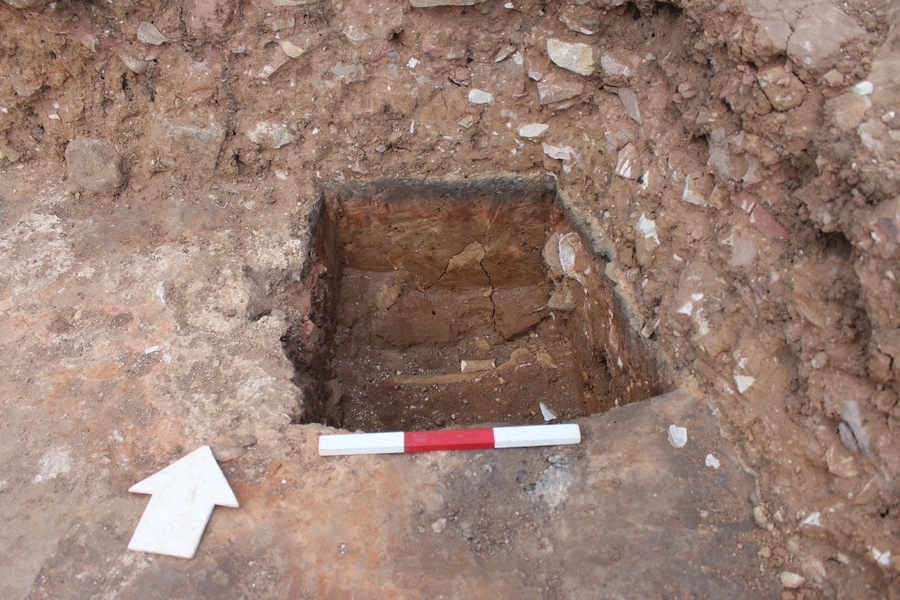
Photo: LDF_216488
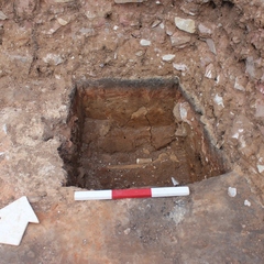
- N looking photo of S facing section of F217, close up of small sondage. 2m scale
Record Details
- Not set
- Arthur Tucker 24-9-2021
- - - - -
- - -