Short Description:
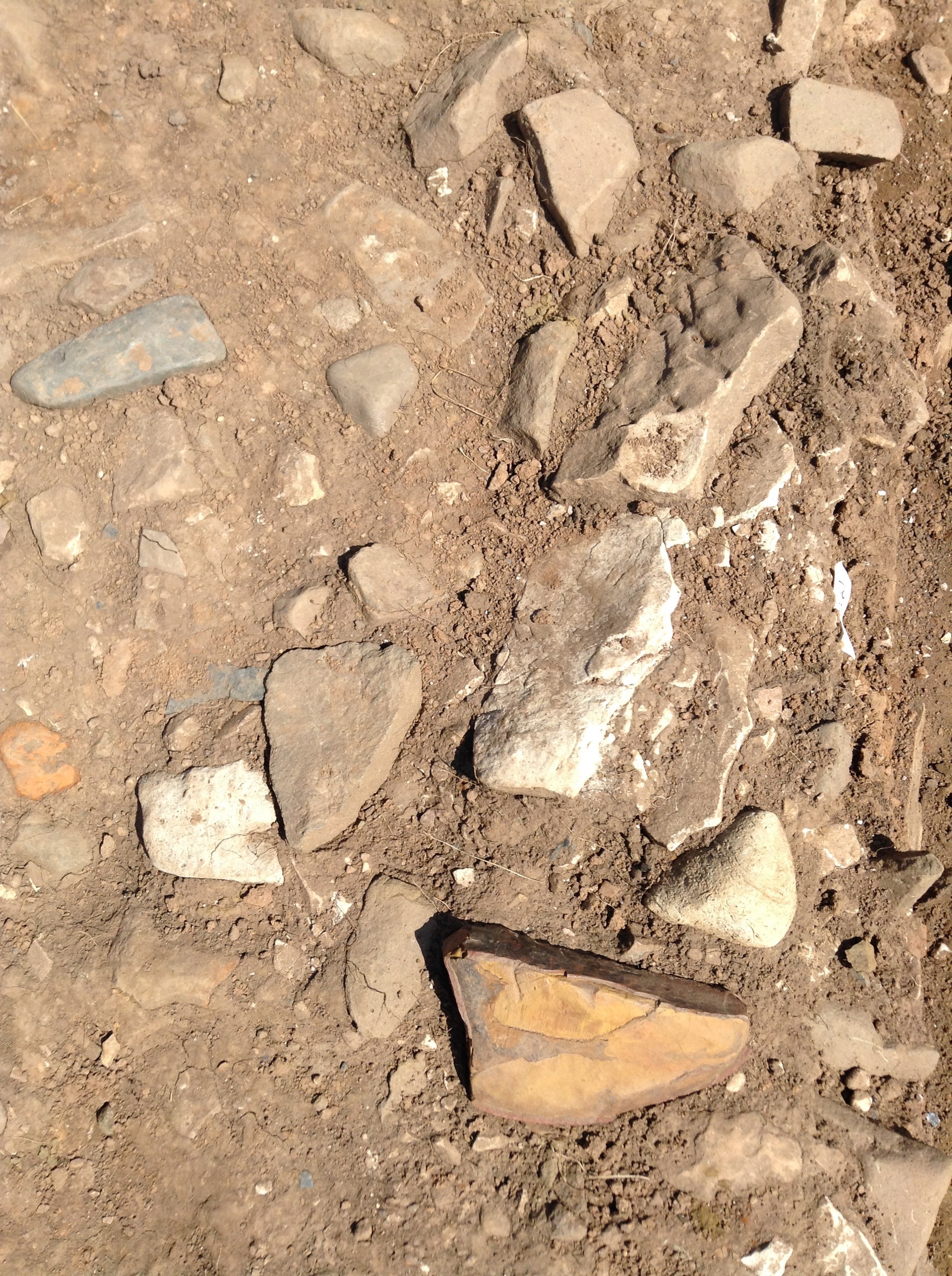
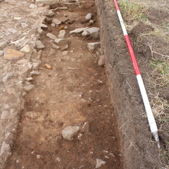
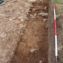
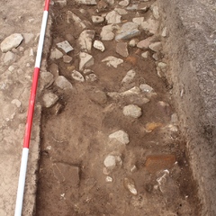
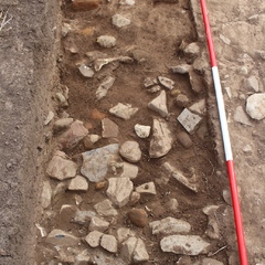
Stone layer
Issued to
Brendon Wilkins | 22/06/2016
Interpretation
-
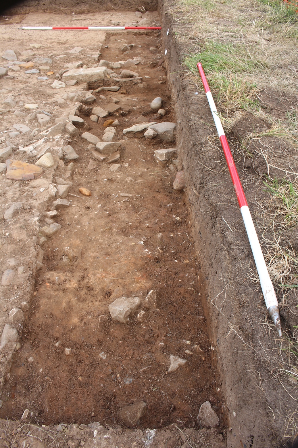
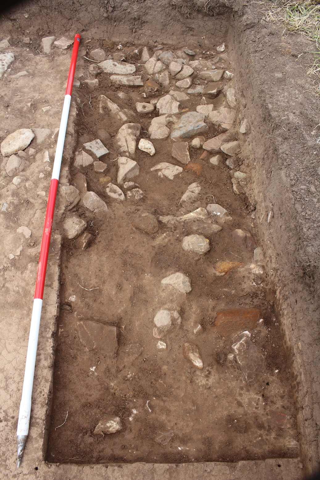
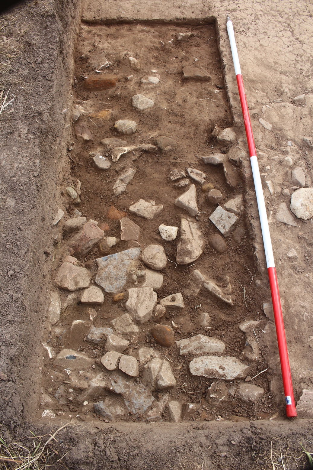
- Rubble stone layer - possibly demolition material from an earlier building. This layer has not been fully excavated.
-
- Raksha Dave
- 7-10-2016
Sketch Photo
Description
- Hard
- Light greyish brown
- Sandy silt
- 60% Sub angular-rounded inclusions of gravel/large stones ranging from 0.05m to 0.3m long
- Length - 1.70m Width - 4.00m Depth - 0.20m estimated, not fully excavated
- Trowel/mattock dry
Finds
| Findtype | Quantity (No. fragments) | Weight (g) | Notes |
|---|---|---|---|
| Pot | 1 | 4 | Not pot - burnt clay/daub. (Andrew Sage, 2017) |
| Other (add to description) | 1 | 283 | burnt stone |
Feature
-
Feature: LDF_101
- Wall foundation consisting of roughly hewn stone running N-S and E-W
Site Photos
-
Photo: LDF_160949
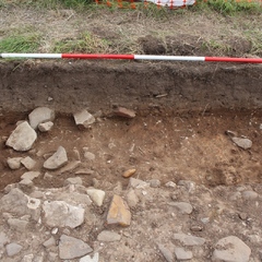
- Large slot in Trench 1, Western end, facing South
-
Photo: LDF_160950
- Large slot in Trench 1, Eastern end, facing South
-
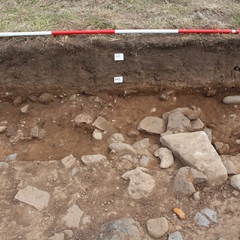
Photo: LDF_160951
- Large slot in Trench 1, facing West
-
Photo: LDF_160952
- Large slot in Trench 1, facing East
-
Photo: LDF_160953
- Large slot in Trench 1, facing East
-
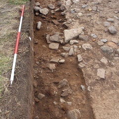
Photo: LDF_160954
- Smaller slot in Trench 1, facing East
-
Photo: LDF_160955
- Smaller slot in Trench 1, facing West


Plan
Record Details

- Brendon Wilkins 22-6-2016
- 22-6-2016