Basic Information
- Platform 01
Contexts
-
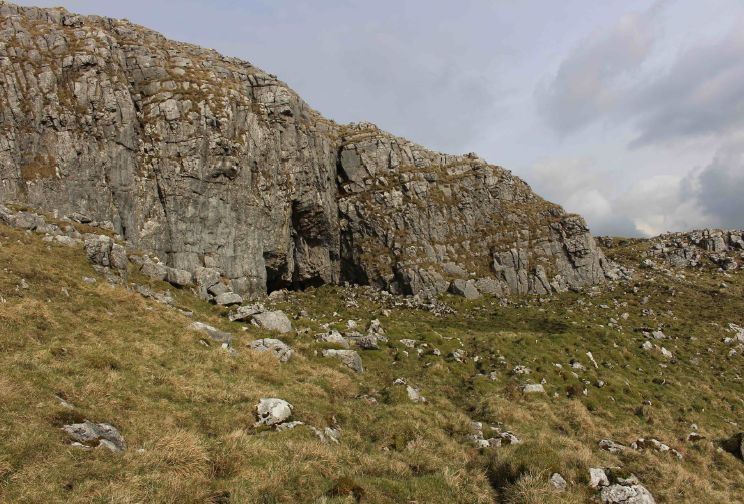
Context: UTU_5001
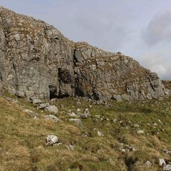
- Settle Bank
- Hugh Fiske
- 18-8-2016
Narrative
-
- Level area c. 10mx4m, continues under modern field wall to W. 384340.00E - 464049.00N - 358.00M This was allocated P01 in Martlew R. 2007. Langcliffe Scar Local Nature Reserve. Archaeological Survey. Yorkshire Dales Landscape Research Trust.
-
- Hugh Fiske
- 18-8-2016
Dating Narrative
-
- This platform was investigated by an aerial and topographic survey by Roger Martlew in 2007 and is part of a landscape that is assigned to be general Iron Age/Romano British, although there might also have been earlier phases of use of the area.
-
- Johanna Ungemach
- 9-9-2016
Matrix
-
- [not set]
- [not set]