Basic Information
- Mound 13
Contexts
-
Context: UTU_5001
- Settle Bank
- Hugh Fiske
- 18-8-2016
Narrative
-
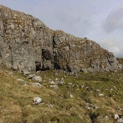
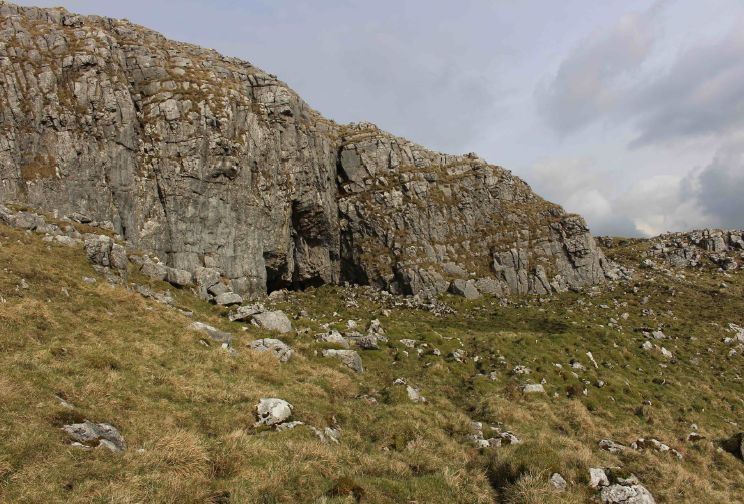
- c. 2m diam and 0.6m high, on level floor of slight natural basin. 384197.30E - 464614.38N - 475.47M This was allocated M13 in Martlew R. 2007. Langcliffe Scar Local Nature Reserve. Archaeological Survey. Yorkshire Dales Landscape Research Trust.
-
- Hugh Fiske
- 18-8-2016
-
- .
-
- Johanna Ungemach
- 29-9-2016
Dating Narrative
-
- This mound is one of 18 mounds that were identified within and between the Victoria Camp earthworks during an aerial and topographic survey by Roger Martlew in 2007. They are part of a landscape that is assigned to be general Iron Age/Romano British, although there might also have been earlier phases of use of the area. The character of this particular mound is unknown, but it could be the consequence of early field clearance or equally a potential burial cairn. It is situated ‘in the centre of a shallow basin in the northern part of the Settle Bank field’ (Martlew, R. D. 2007. Langcliffe Scar Local Nature Reserve Archaeological Survey 2007. Yorkshire Dales Landscape Research Trust).
-
- Johanna Ungemach
- 29-9-2016
Matrix
-
- [not set]
- [not set]