Basic Information
- Enclosure 11
Contexts
-
Context: UTU_5001
- Settle Bank
- Hugh Fiske
- 18-8-2016
Narrative
-
- Bank of large stones (c. 0.8x0.5m max) abutting the bank subdividing Enclosures 08 and 09: probable building foundations. 384349.74E - 464940.09N - 474.40M This was allocated E 11 in Martlew R. 2007. Langcliffe Scar Local Nature Reserve. Archaeological Survey. Yorkshire Dales Landscape Research Trust.
-
- Hugh Fiske
- 18-8-2016
Dating Narrative
-
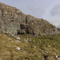
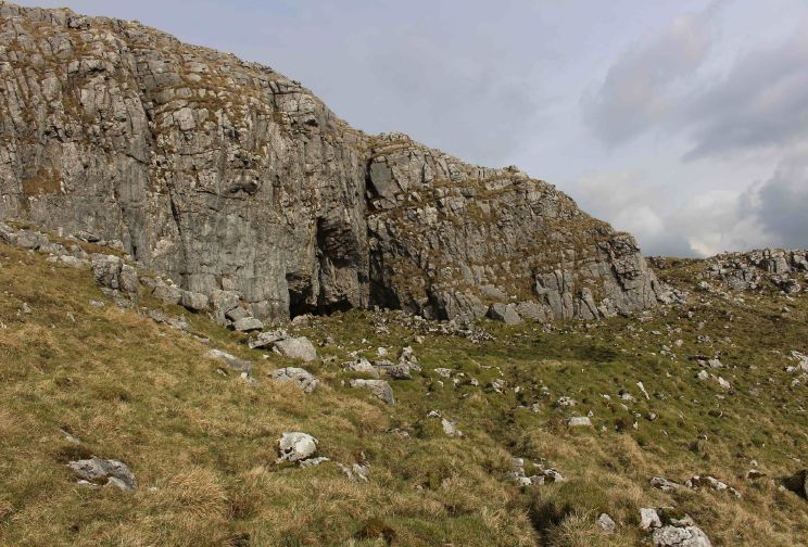
- This enclosure is one of 20 enclosures that vary in size and shape from square and rectangular to sub square and sub rectangular and were investigated by an aerial and topographic survey by Roger Martlew in 2007. They are part of a landscape that is assigned to be general Iron Age/Romano British, although there might also have been earlier phases of use of the area. Besides several linear banks, the enclosures are ‘by far the most extensive remains in the holding’ and have probably been constructed for habitation or stock control. In fact, Victoria Camp ‘may be part of a wider area of linear banks and enclosures’. However, the exact chronology and character of associations is difficult to assess. The enclosures consist of ‘free-standing features as well as banks’, creating different kinds of formations. Some of the smaller enclosures surround possible hut circles, while others are set along natural features. The ‘underlying soil consists of deep accumulations and shallow deposits which support the overlying vegetation consisting of Tufted Hair Grass’ and most of the features neither contain large stones, nor exceed a height of 0.5m. This particular enclosure is likely to have been a rectangular building. Together with two adjacent enclosures (E08 & E09), it might be evidence for mineral working in the Northern Field, as the ‘main enclosure appears to surround an area of broken bedrock suggesting quarrying’ (Martlew, R. D. 2007. Langcliffe Scar Local Nature Reserve Archaeological Survey 2007. Yorkshire Dales Landscape Research Trust).
-
- Johanna Ungemach
- 29-9-2016
Matrix
-
- [not set]
- [not set]