Short Description:
Settle Bank
Issued to
Hugh Fiske | 18/08/2016

Interpretation
-
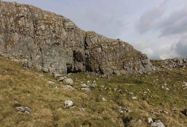
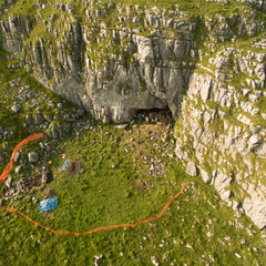
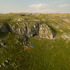
- Settle Bank lies at a hieght of 440m on Langcliffe Scar and consists of a 'Basin and Pavement topography' (Martlew 2007).It contains five recorded enclosures, three mounds, three quarry scoops, one bank, one lynchet, one platform and one cave (Martlew R. 2007. Langcliffe Scar Local Nature Reserve. Archaeological Survey. Yorkshire Dales Landscape Research Trust).
-
- Nigel Steel
- 10-1-2017
Description
- 440m - 335m AOD
Feature
-
Feature: UTU_101
- Cave 01 - Ben Scar Cave
-
Feature: UTU_425
- Enclosure 09
-
Feature: UTU_460
- Mound 10
-
Feature: UTU_502
- Walling 01
-
Feature: UTU_504
- Walling 03
-
Feature: UTU_516
- Bank 12
-
Feature: UTU_526
- Enclosure 10
-
Feature: UTU_527
- Enclosure 11
-
Feature: UTU_528
- Enclosure 16
-
Feature: UTU_533
- Enclosure 17
-
Feature: UTU_534
- Enclosure 18
-
Feature: UTU_535
- Enclosure 19
-
Feature: UTU_536
- Enclosure 20
-
Feature: UTU_550
- Ring 14
-
Feature: UTU_563
- Mound 13
-
Feature: UTU_564
- Mound 14
-
Feature: UTU_565
- Mound 15
-
Feature: UTU_566
- Mound 16
-
Feature: UTU_573
- Lynchet 01
-
Feature: UTU_574
- Platform 01
-
Feature: UTU_577
- Quarry scoop 03
-
Feature: UTU_578
- Quarry scoop 04
-
Feature: UTU_579
- Quarry scoop 05
Site Photos
Plan
-
Plan: UTU_6
- Plan of Settle Bank (Drawn by Martlew 2007)
- Nigel Steel
- 4-1-2017
Record Details
- Not set
- Hugh Fiske 18-8-2016
- - - - -
- - -


