Scan

Description
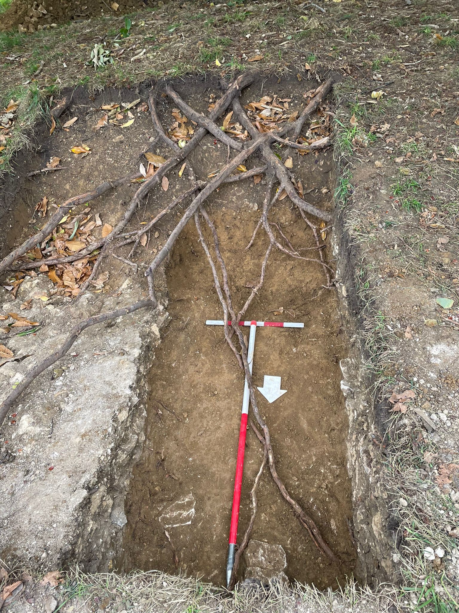
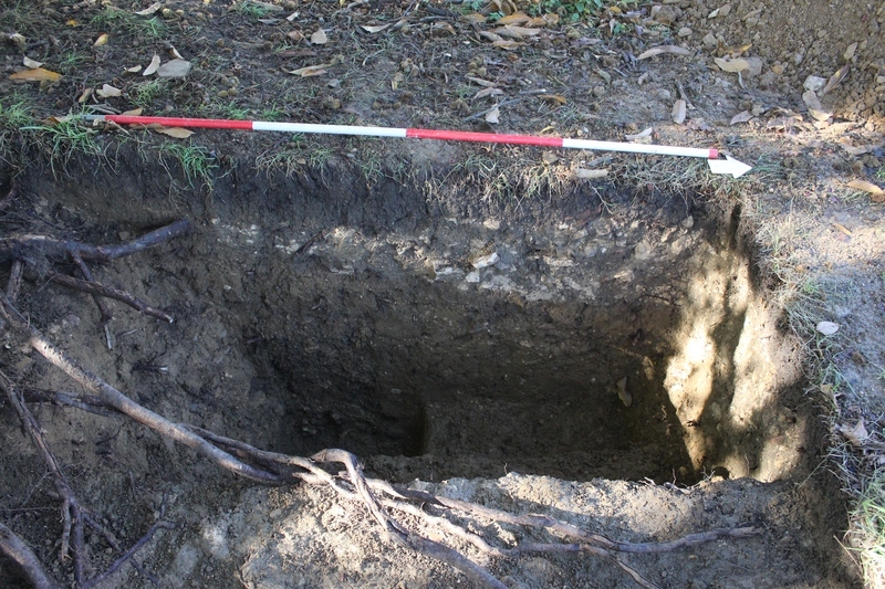
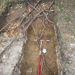
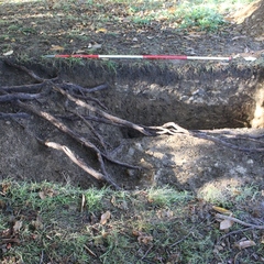
- Section of east facing section of trench 10 through Victorian pathway and iron pipe truncation. Sheet 1. Scale 1:10. Drawn by AM. Supervised by DW
- David Wallace 31-10-2021
Levels
- No text data has been added
Contexts
-
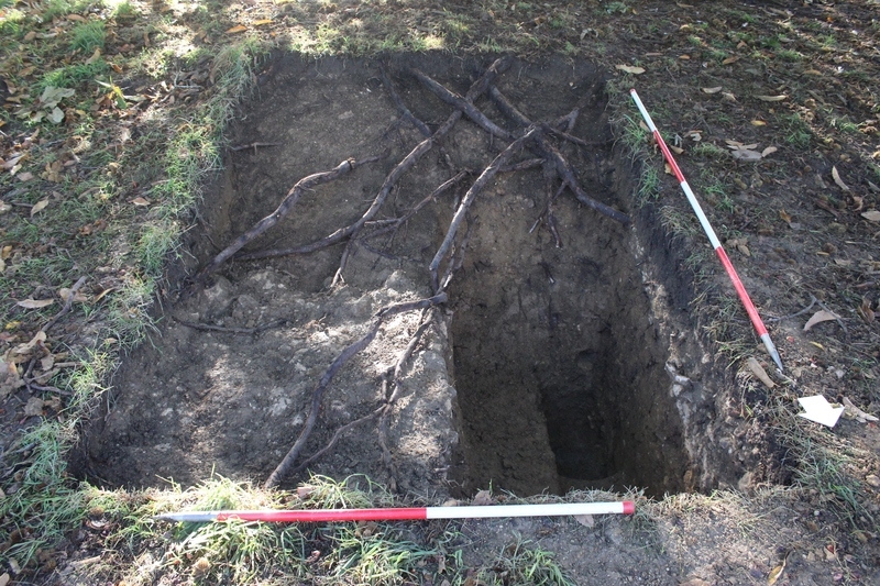
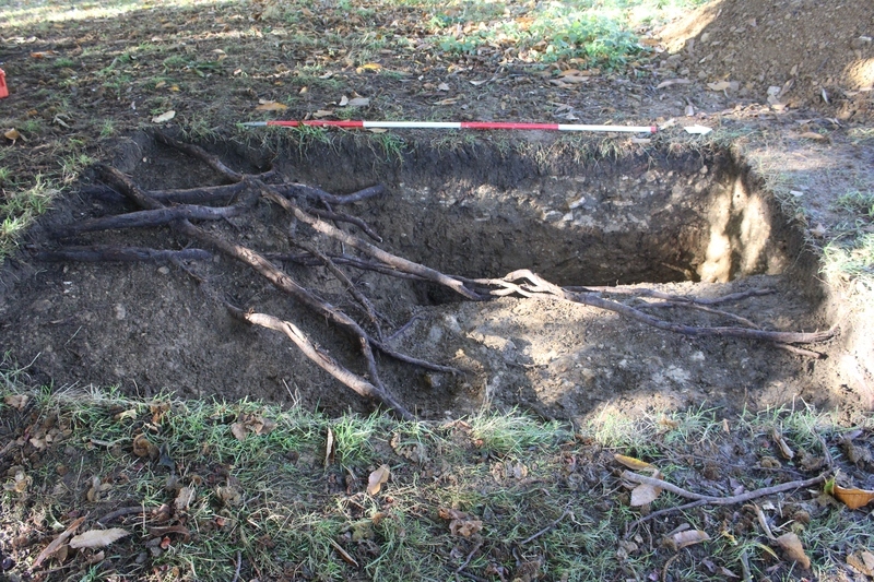
Context: SUD_10001
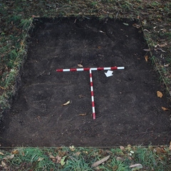
- Topsoil and turf within tr 10
- Chris Swindells
- 21-10-2021
-
Context: SUD_10002

- Gravelly layer within tr 10. Potentially part of the mound associated with the wall in tr 8
- James Lewis
- 20-10-2021
-
Context: SUD_10003
- Clay layer underneath topsoil- possibly subsoil?
- Doug Hopper
- 21-10-2021
-
Context: SUD_10004

- Clayey layer with some gravelly stones
- Doug Hopper
- 21-10-2021
-
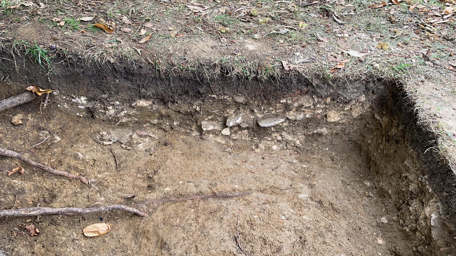
Context: SUD_10005
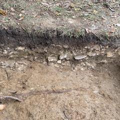
- Rubble surface - potentially 19th century path
- Stroma Henderson Reid
- 24-10-2021
-
Context: SUD_10006
- Yellowy clay with small sub angular limestone inclusions
- David Wallace
- 28-10-2021
-
Context: SUD_10006
-
- Yellowy clay with small sub angular limestone inclusions
- David Wallace
- 28-10-2021
-
Context: SUD_10007
- Yellowy clay with small sub angular limestone inclusions under 10006
- David Wallace
- 28-10-2021
-
Context: SUD_10008
- Cut of cast iron pipe
- Alexis Kyriacou
- 30-10-2021
-
Context: SUD_10009

- Fill of cast iron pipe
- Alexis Kyriacou
- 30-10-2021
-
Context: SUD_10010

- Clay mound layer underneath 10003 likely same as 10006
- David Wallace
- 31-10-2021
-
Context: SUD_10011

- Clay mound layer underneath 10007
- David Wallace
- 31-10-2021