- Trench 6
Photos
- No Files Attached
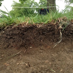
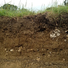
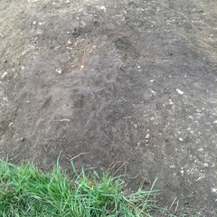
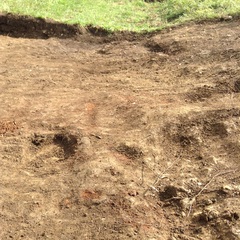
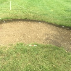
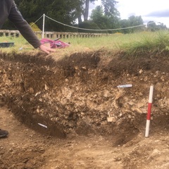
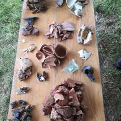
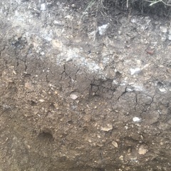
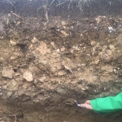
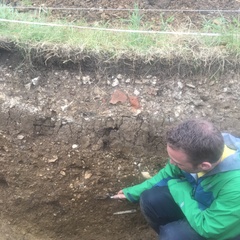
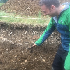
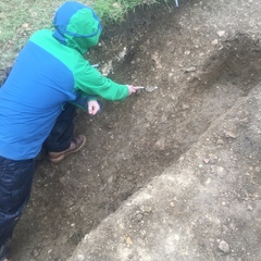
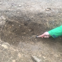
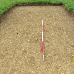
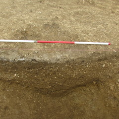
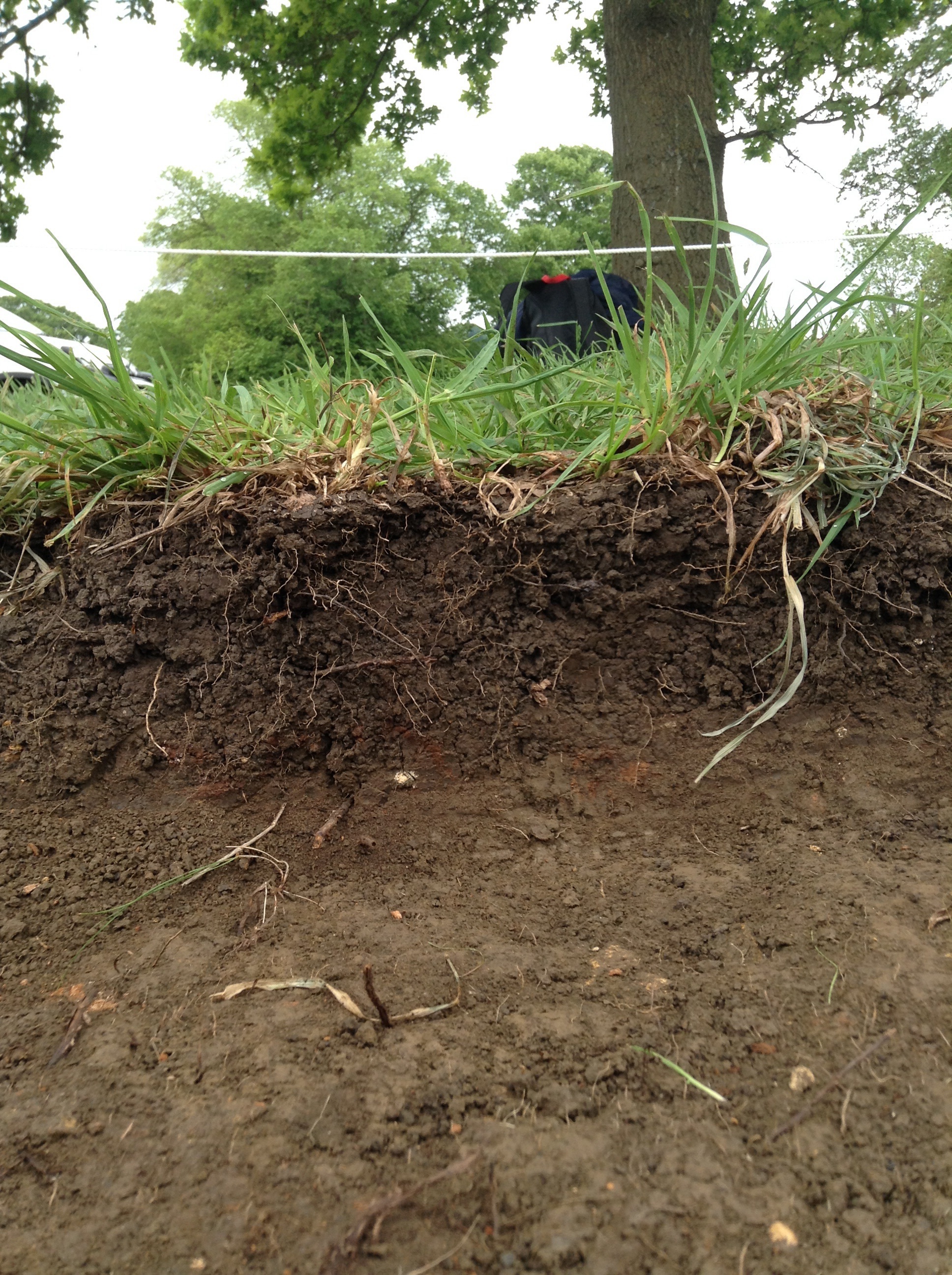
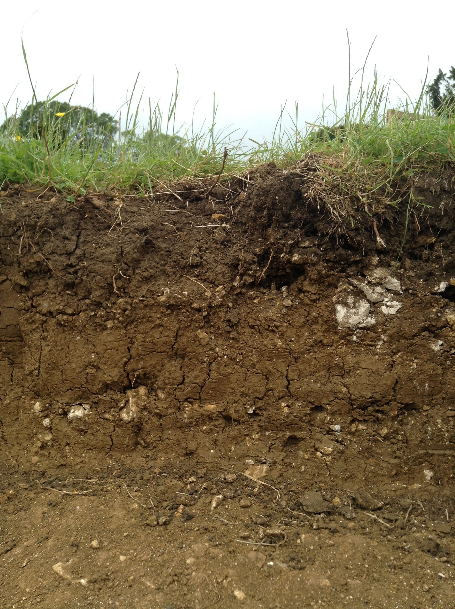
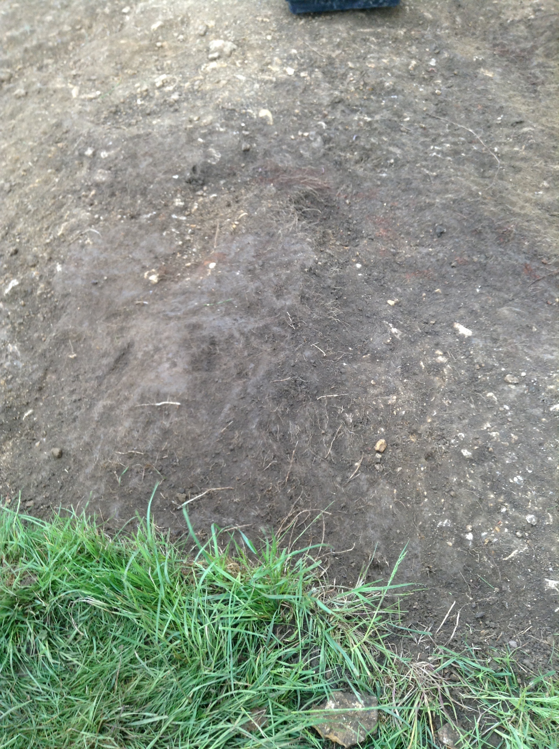
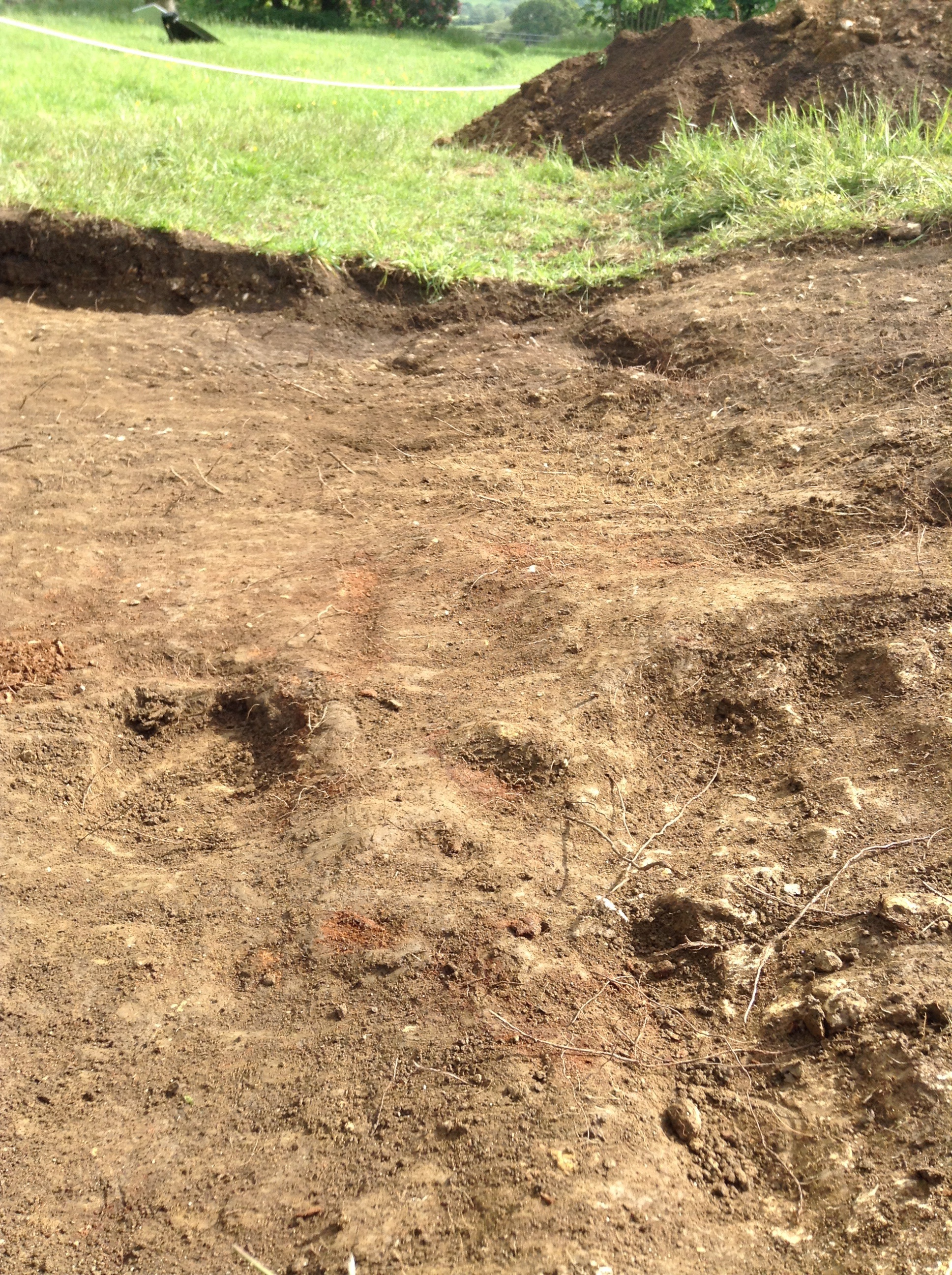
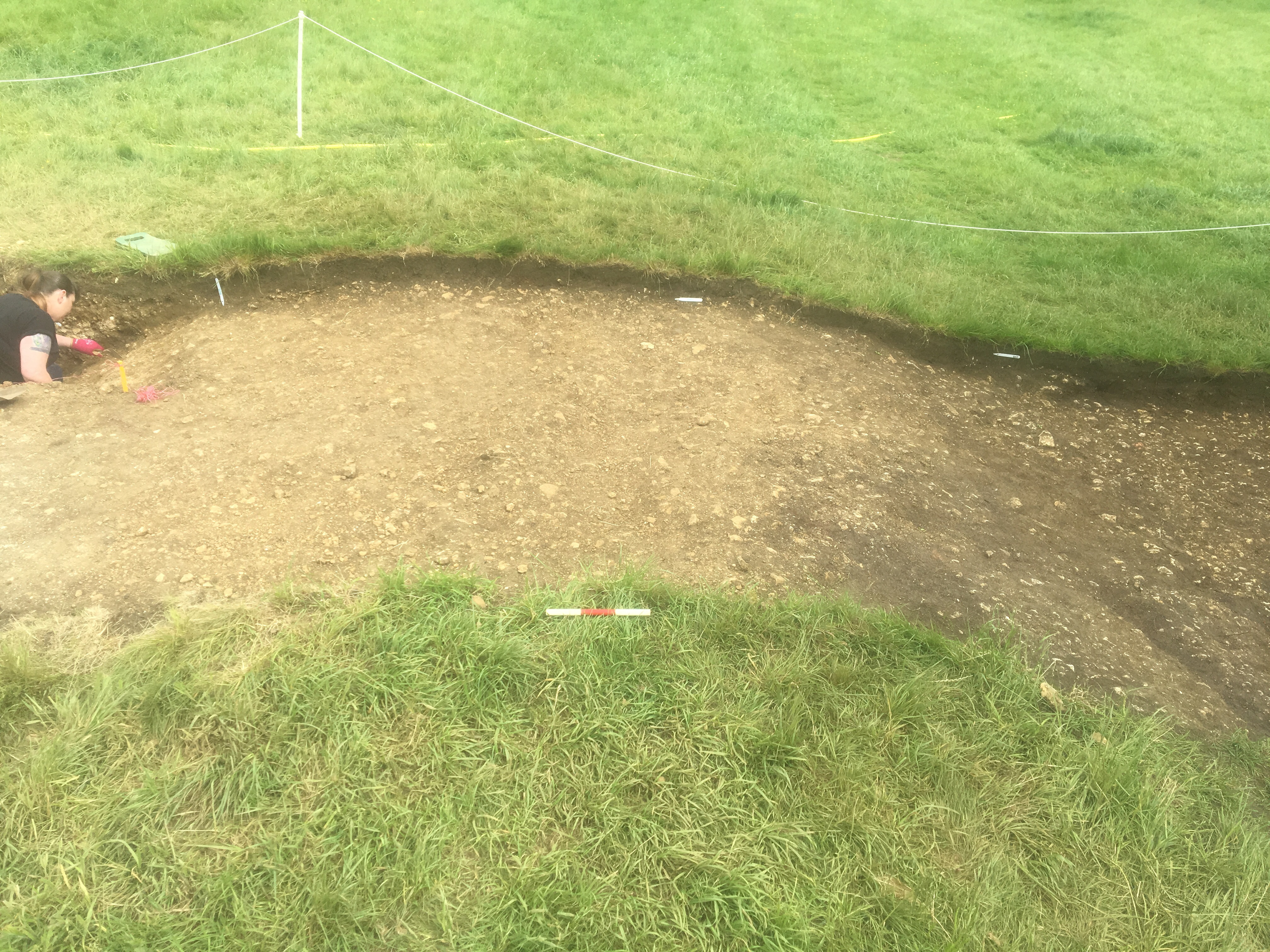
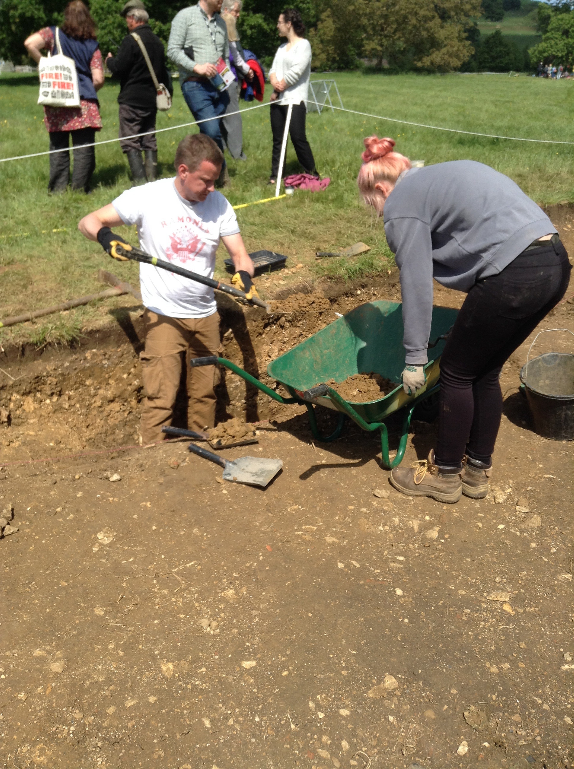
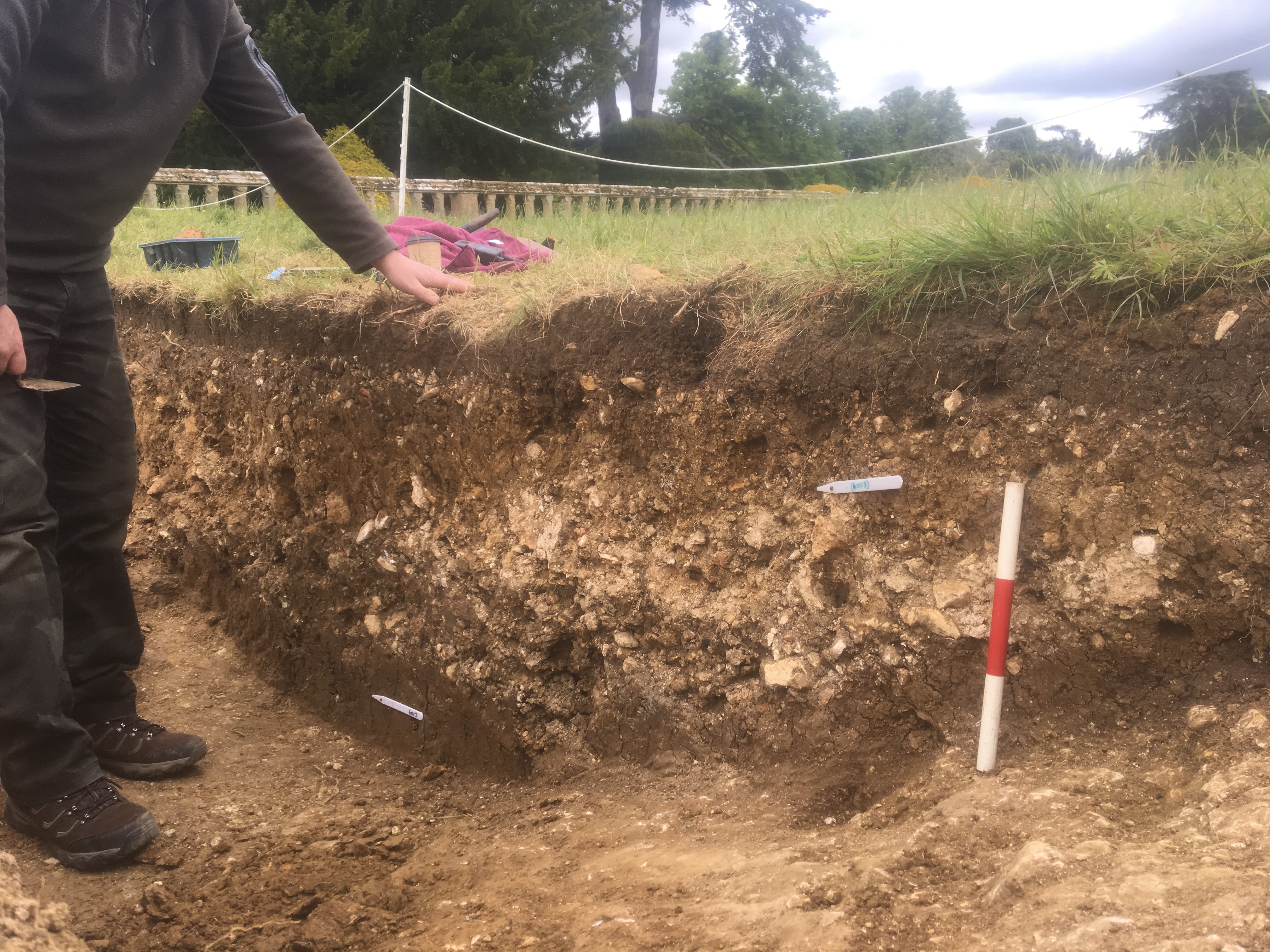
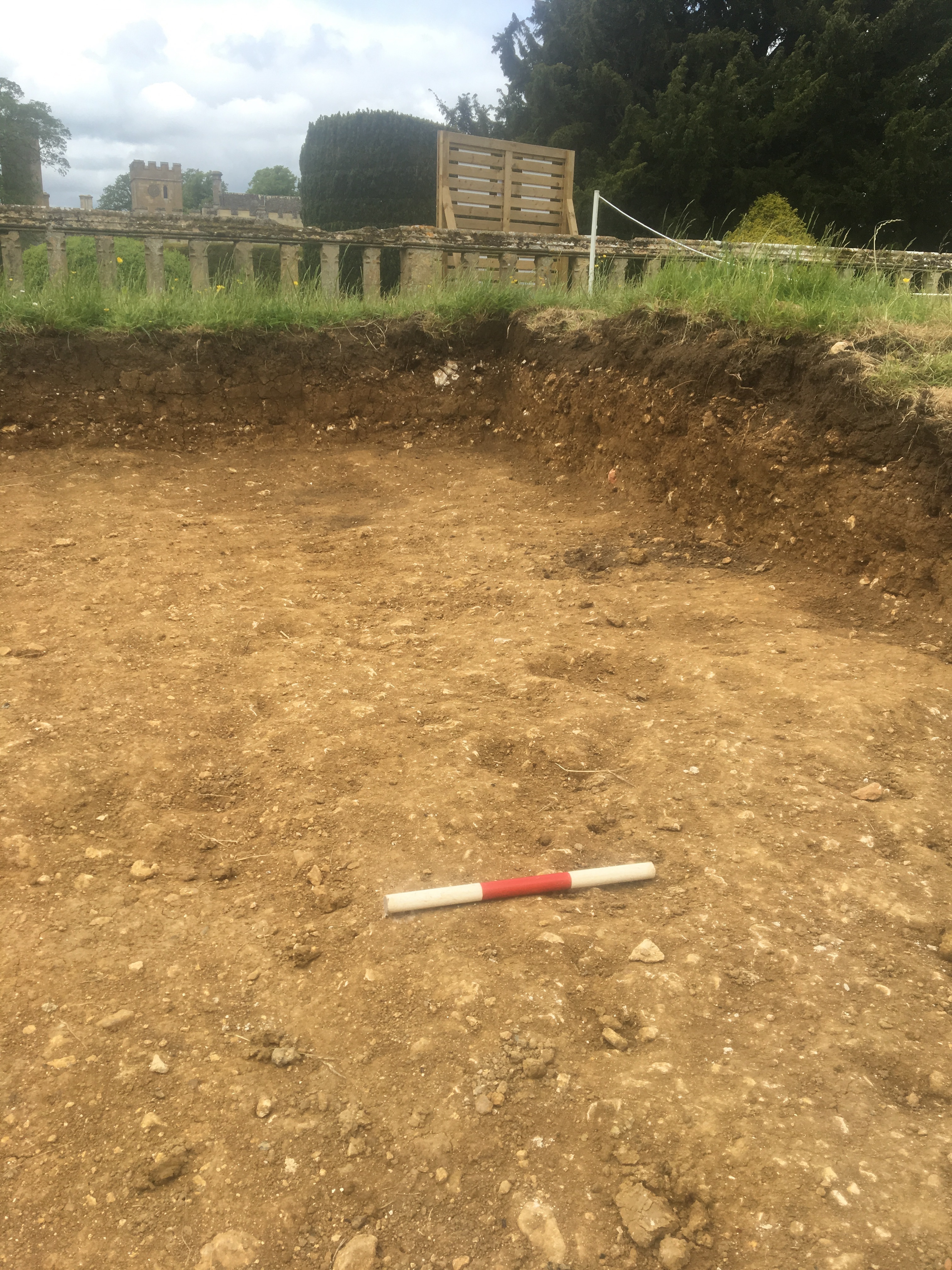
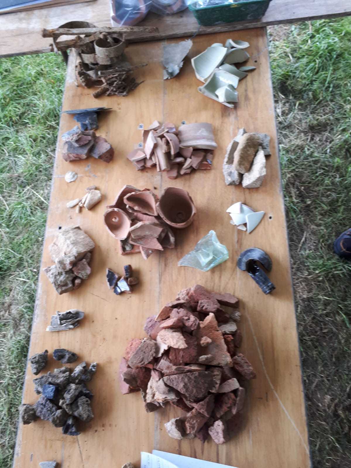
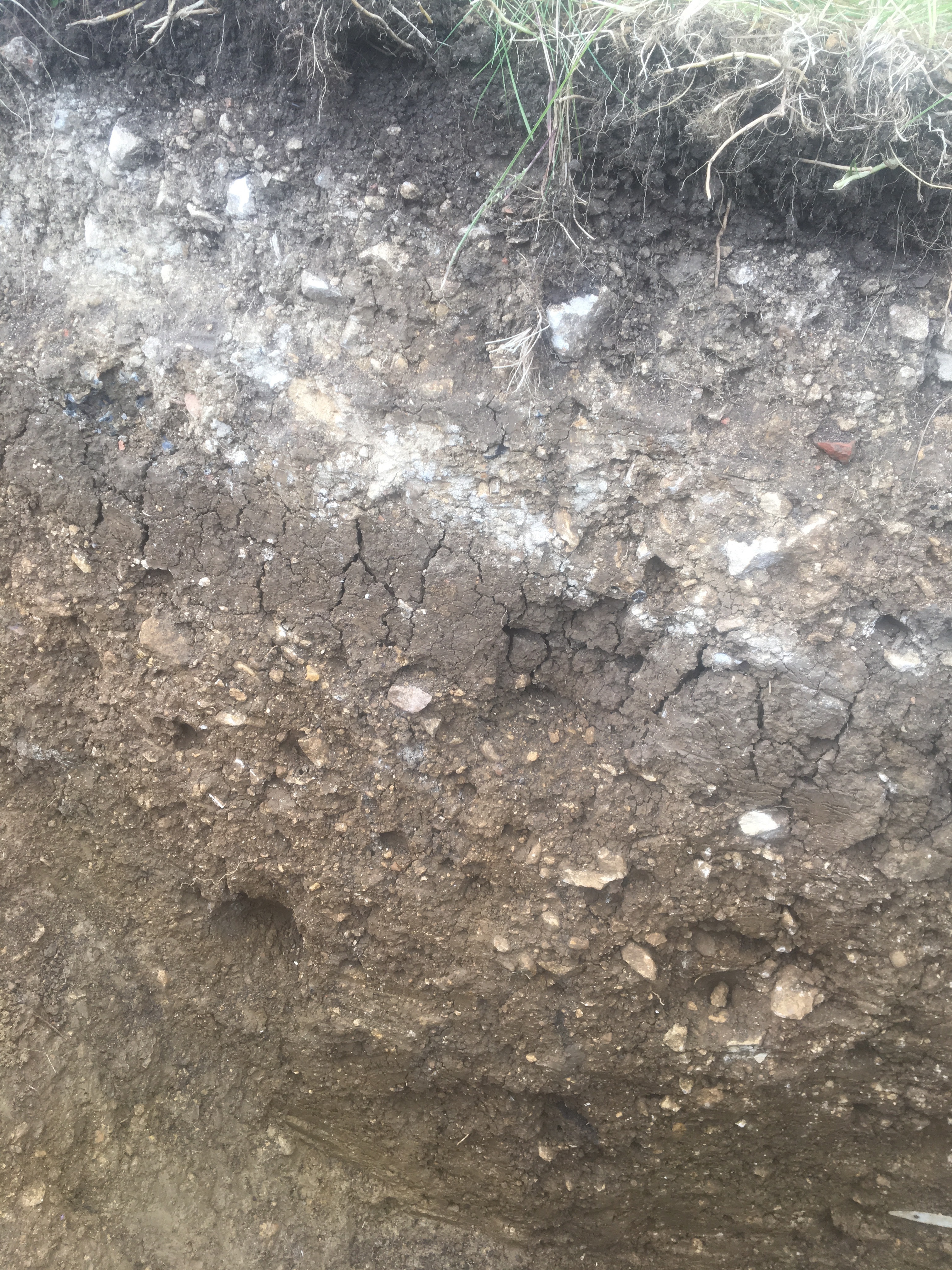
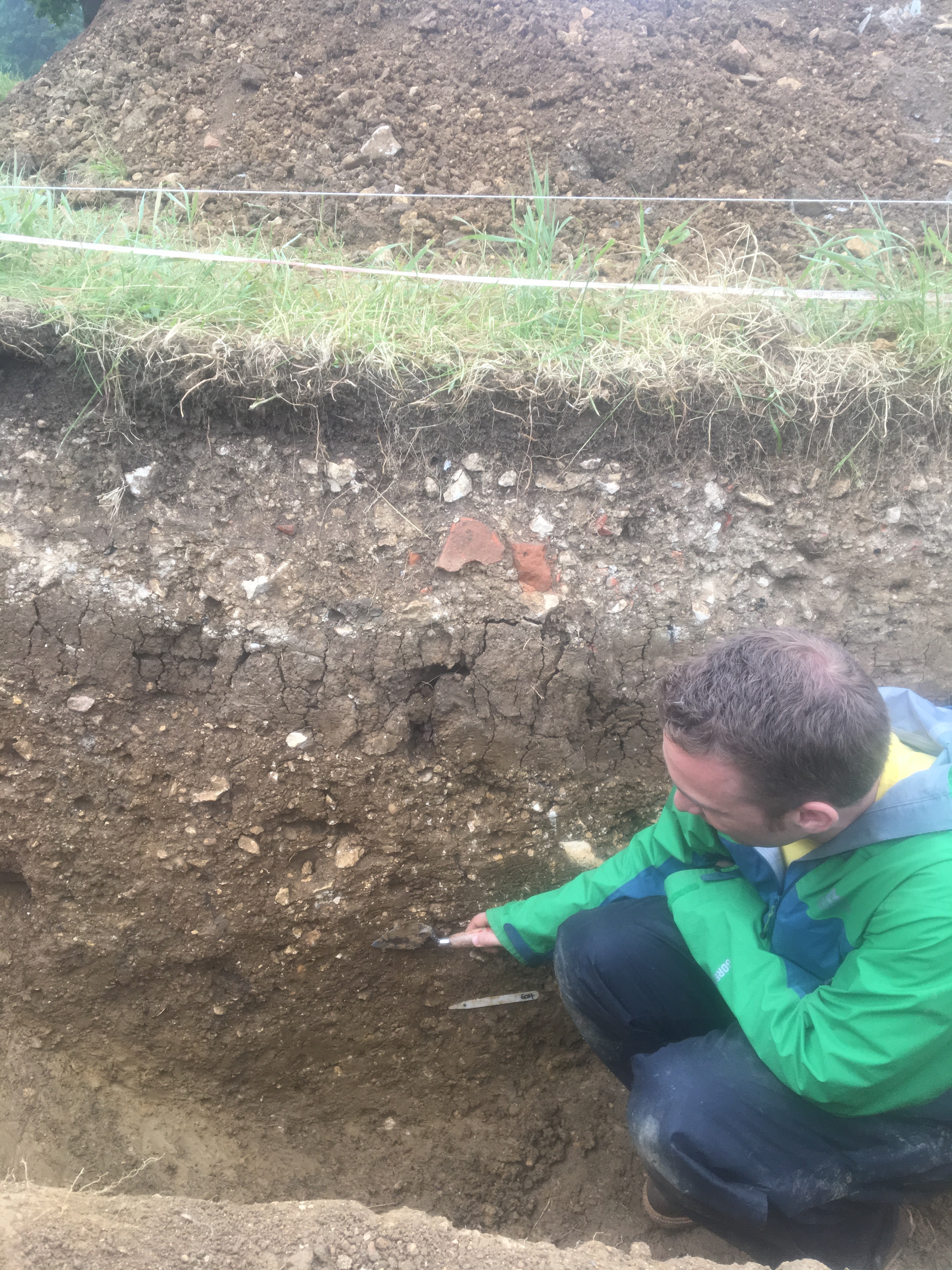
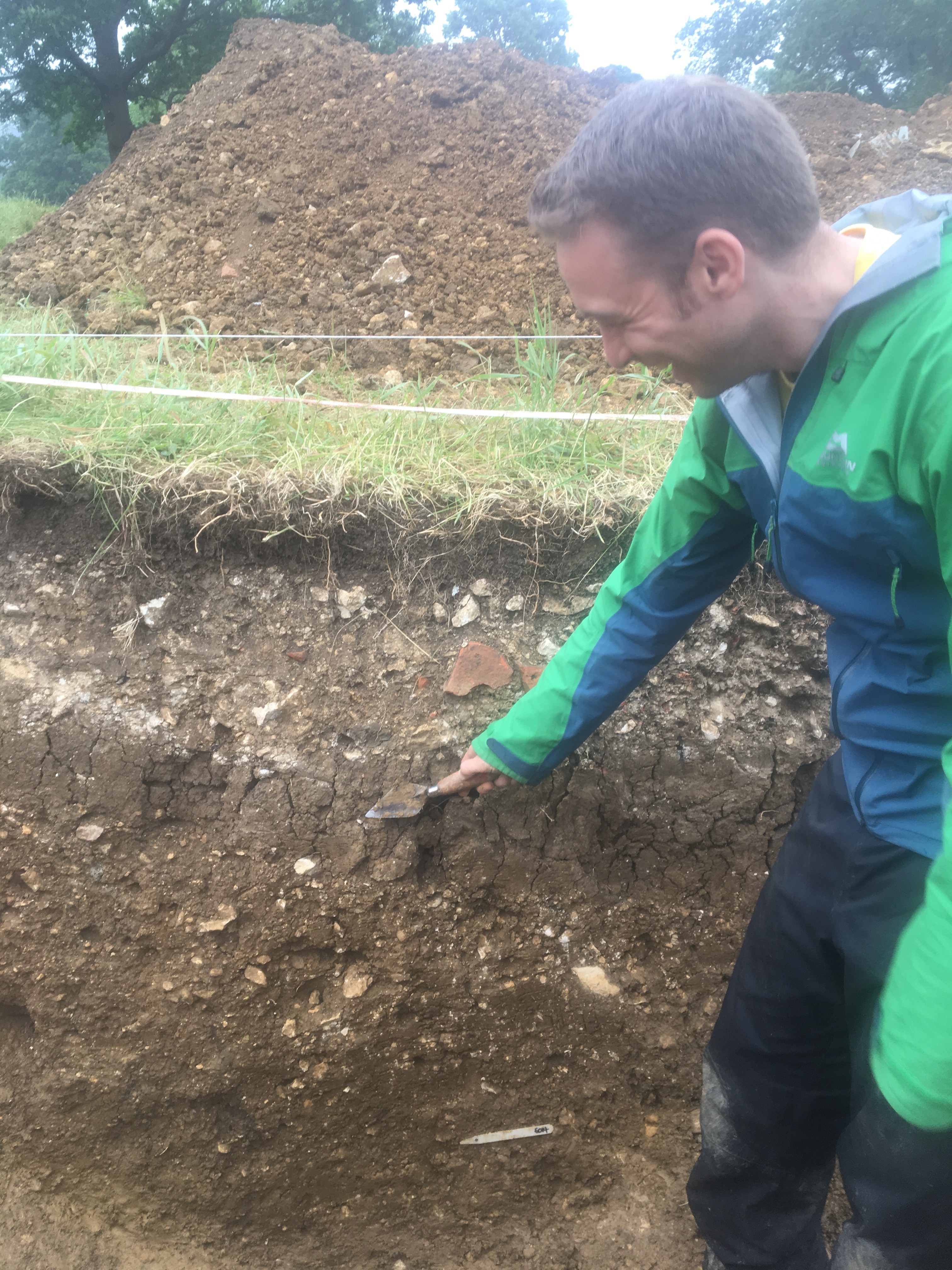
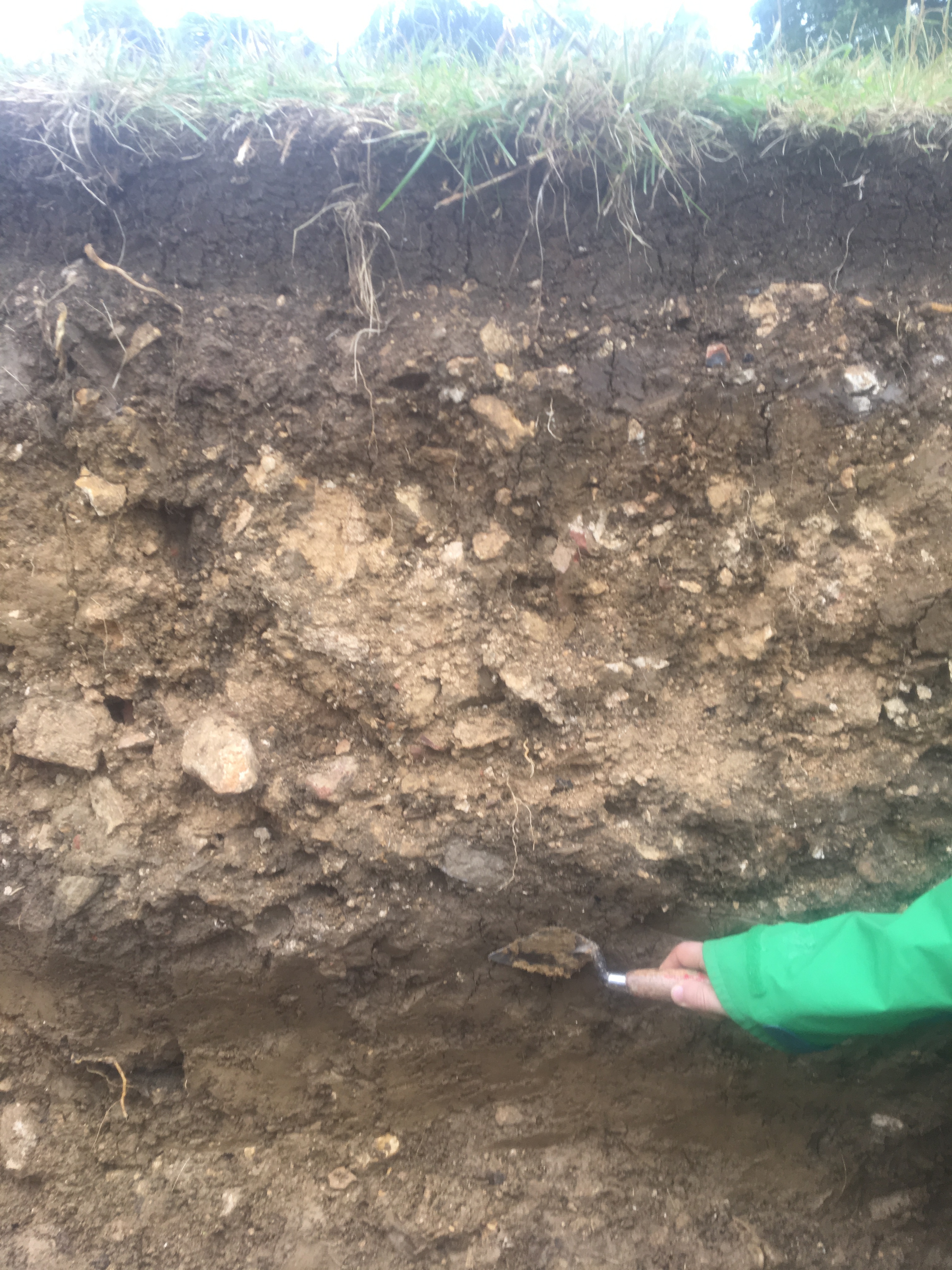
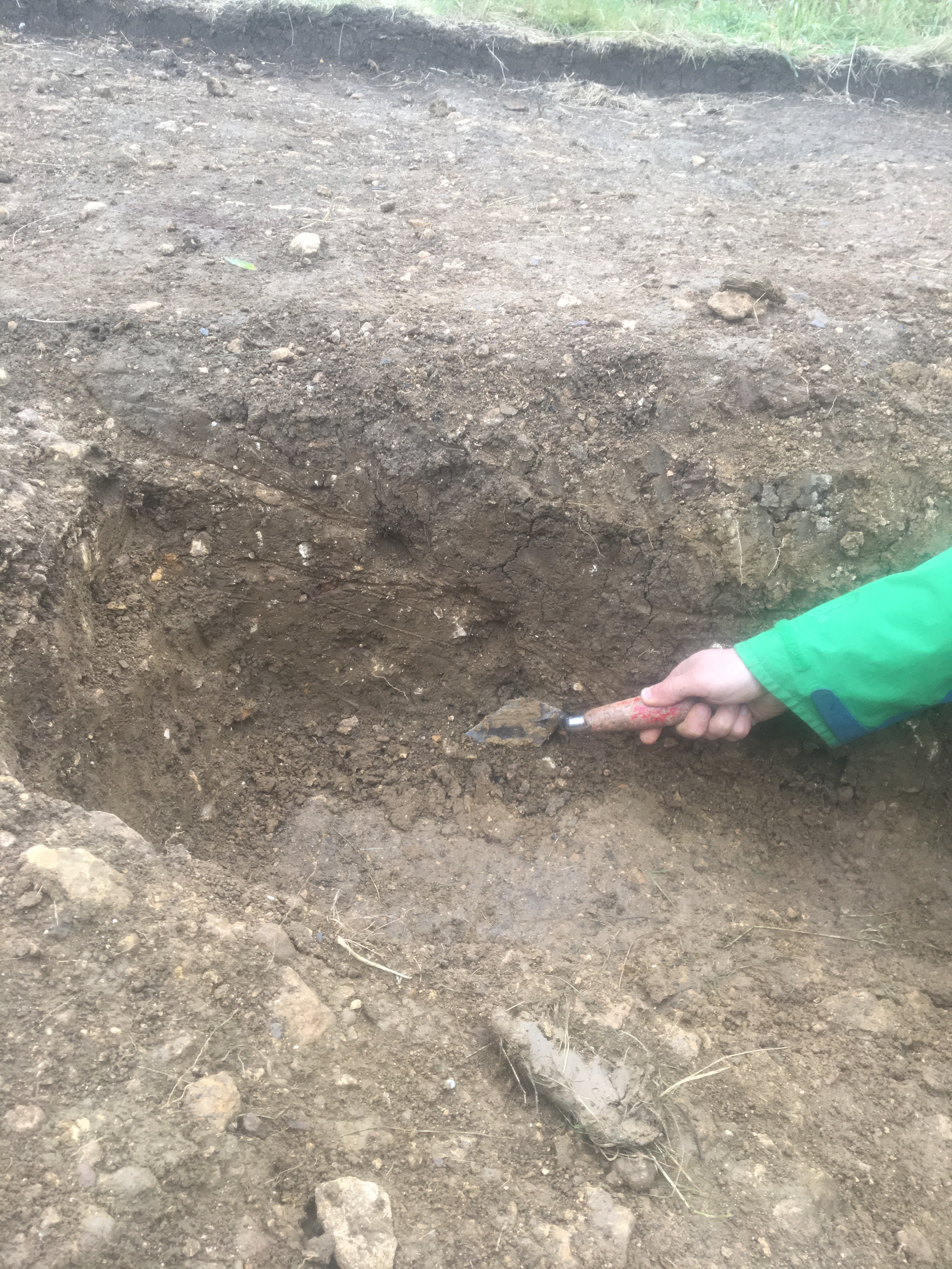
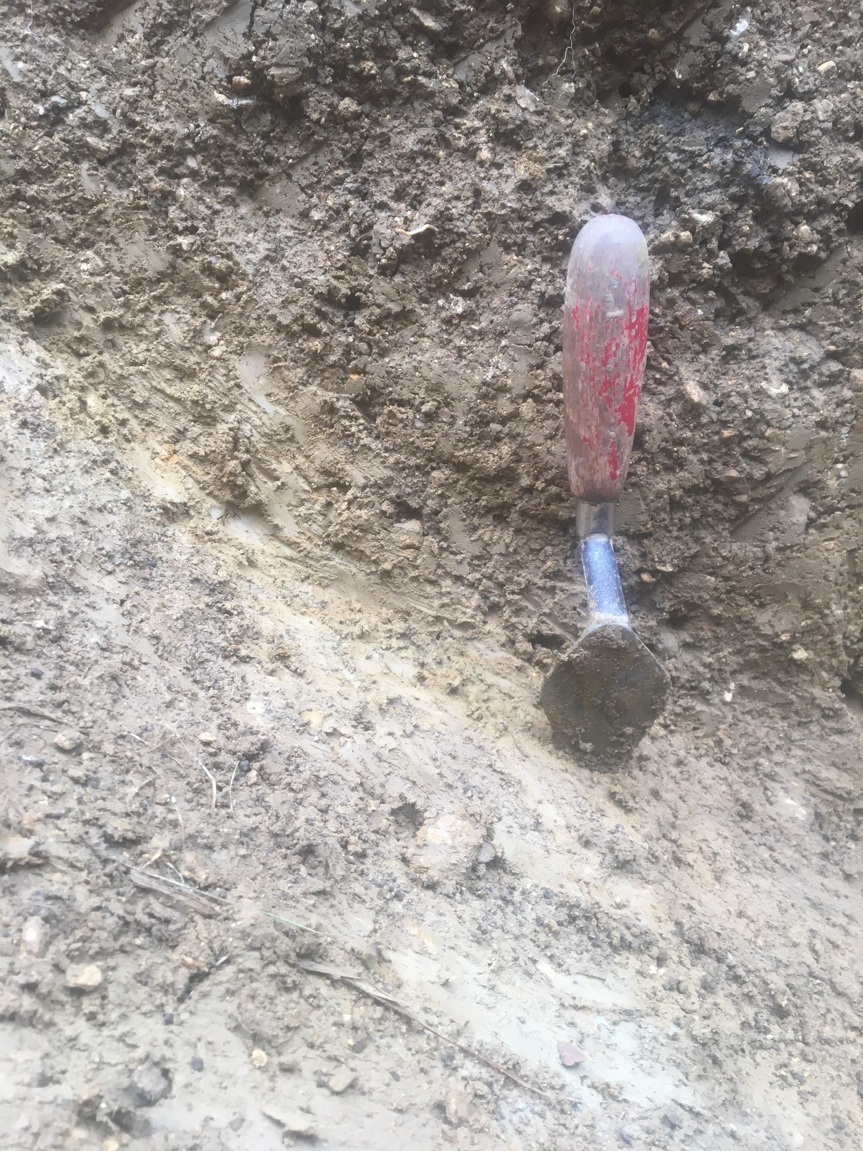
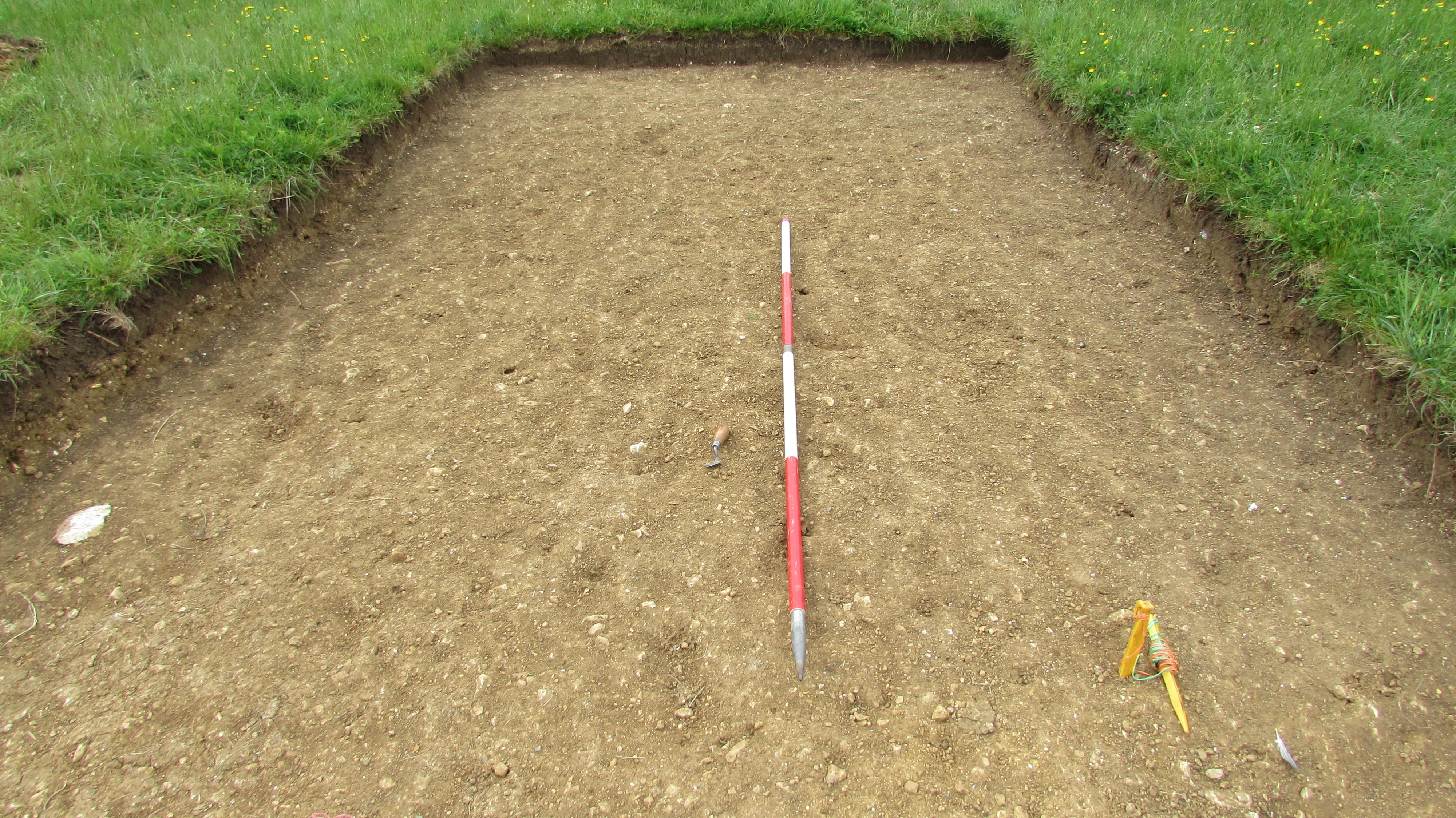
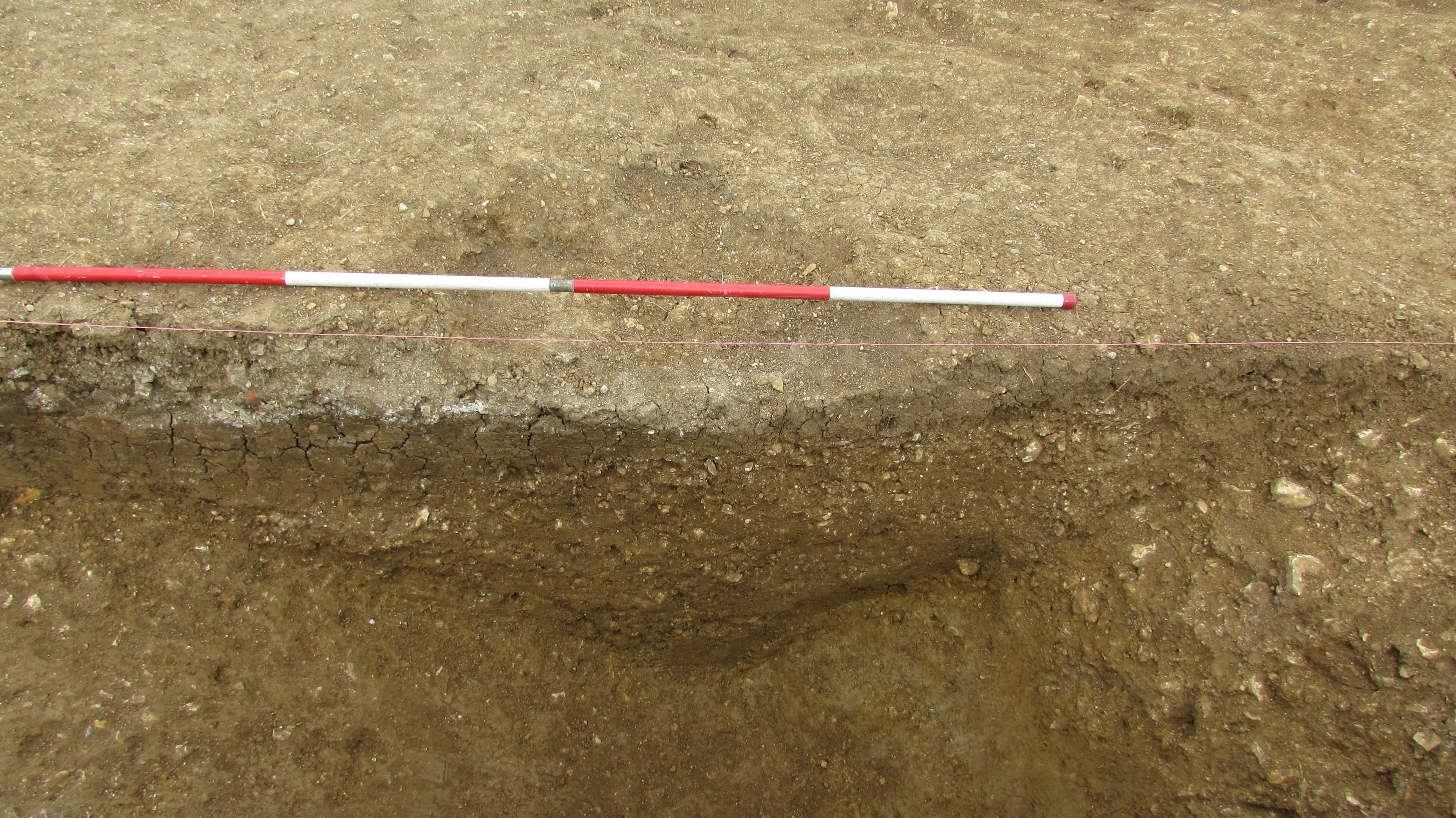
- Trench 6 was an ‘L’ shaped trench 15.00m x 3m wide aligned north to south and 15.00m x 3m aligned east to west respectively. The trench targeted an anomaly in the form of a mound identified from an archae-topographical and magnetometry survey in 2014 (Fradley et al 2014). The trench was excavated by machine to the base of the topsoil to reveal two archaeological cut features. The two cut features related to one ditch, separating an outer bank and inner platform. They appear to have been constructed as one contiguous event to construct a central water feature and walkway curving around a centerpiece, possibly acting as a viewing platform within the garden. Deposits were composed of a series of constructed surfaces classified in this assessment as features along with the ditch in order to rationalize their construction. 7.3.2 The earliest feature in the trench was a surface of light reddish-brown silty sand (ratch) (F601) visible in the section of the ditch (F602). This is likely to have been created by digging up the surrounding ratch to create an artificial layer correlating with the construction of the features observed in Trench 7 (F701) and is likely to be contemporaneous. The original formation of the ratch is likely to date to between the 12th to 15th, as suggested by recovered ceramics, and this material was then incorporated as a constructed base layer within the central garden feature and outer bank construction during the 16th century. Sealing the base layer was a hardcore layer (F603) constructed of a yellowish-brown sandy clay with medium sub-angular stones moderately sorted. This was capped with a surface of brown clay (F604) providing a waterproof layer. Pressed within the brown clay cap (F604) was decayed wood, which may be the remnants of dark oak removed from the house and replaced with light oak wood during refurbishments (Derek Maddock pers comm). There was also a clay pipe stem dating to the 18th/19th century which is probably residual. Within the clay cap layer artefacts included a pot sherd dating to the 11th to 13th century (probably residual) and six sherds of probable 16th century pot likely to be contemporary with the construction of the central feature. A few sherds of later pearlware and Utilitarian whiteware sherds were also present, presumably residual sherds from later dumping episodes. Animal bone recovered has been identified as sheep/goat and a medium mammal, and provides evidence for exposure to high temperatures. A tin tea light was also found and pressed into the clay cap within the outer bank area, another indication of later dumping activity. Two ditch cuts from the same feature were observed in the trench (F602) which were circular in plan. The ditch appears to have been cut into the re-deposited ratch, visible in the cut of the ditch (F601). The first ditch cut [6007] located in the west of the trench was aligned north to south. The cut was 3.00m wide and 0.86m deep with steep sloping sites and was not fully excavated. It contained four well-defined deposits. The lowest fill comprised a yellowish-brown clay 0.42m deep with frequent stones probably represents the original waterproof lining of the ditch (puddle clay) and the gradual filling the ditch during a period of disuse from an abandonment phase dating between 1649 and 1849. A clay pipe stem was recovered dating to the 18th century. The next fill (0.10m deep) represents the slumping of the hardcore cap, followed by a buried turf line 0.30m deep which contained a pot sherd dating from 1250 to 1300, as well as the remains of a 19th to 20th century flowerpot. Sheep/goat, domestic goose (Anser anser), an edible oyster and otter clam shell were all represented in the animal bone assemblage probably representing background activity. The buried turf line also contained a broken fence post indicating that the area was fenced off for probably agricultural activity during a disuse phase 1649 to 1830. The top fill was 0.22m deep containing mixed material of silt sand and clay from different dumping episodes with of various hues reflecting different dumping episodes. 7.3.5 The second ditch cut [6010] was located in the middle of the trench aligned east to west. The ditch cut was 3.00m wide and 1.10m deep with steep sloping sides and a flat to ‘V’ shaped base. It contained five well-defined deposits contiguous with the first ditch cut. The basal fill was yellowish-brown clay with some greenish grey patches 0.10m deep probably representing the original waterproof lining of the ditch (puddle clay). The second fill was of the same clay with frequent stones 0.62m deep probably gradually filling the ditch during a period of disuse from the abandonment phase 1649 and 1849. It contained two sherds of pottery dating to the 16th century which could indicate a construction date for the ditch. The next fill 0.06m deep again represented the slumping of the hardcore cap. The following fill is probably a buried turf line 0.30m deep. The top fill was 0.32m deep comprised of a mixed deposit of silt, sand and clay reflecting different dumping episodes of various hues and rubble from different dumping episodes. At the interface between the topsoil and the fill was an iron grate decorated with incised fleur-de-lys possibly a discarded sample from Emma Dent's building of the knot corridor in Sudeley Castle which was as built in 1889 and 1890 (Derek Maddock pers comm). A worked/carved stone was also discovered and may have been dumped. Most of assemblage could be dated to the18th to 20th century, including pot, stone, CBM, iron, lead and glass. Objects recovered from the uppermost fills of the ditch deposit formed part of deliberate backfilling events and included an almost complete bucket, a copper alloy fountain pen nib, an iron pan with a hole came and a garden lamp or terrarium with several shards of glass in lead frame. They also contained primarily material dumped from the remains of a 19th century greenhouse, Sudeley castle renovation debris and rubble dumping in the 1940s to fill hollows within the ditch as levelling deposits. The existence of the greenhouse at Sudeley in 1895 is indicated by the fact that the Spoonley Mosaic from Roman excavations nearby, and funded by Emma Dent, was brought to the greenhouse to be cleaned - although the exact location remains unknown (Derek Maddock pers comm). At least two sheep/goat bones displayed evidence for carnivore gnawing, a vertebra of a pig chopped longitudinally, likely a result of halving the carcass during butchery for meat production, edible oyster and otter clam shell were represented. Building rubble was known to have been dumped in the proximity of Trench 6 in 1941 by the Sudeley labourers (Gary Sharrate, pers comm) which correlates well with the recovery of a copper threepence dating to 1941 recovered from beneath the topsoil. The palaeoenvironmental assessment of a sample taken from the ditch reveals evidence of carr fen woodland indicating a damp environment close to the site. This type of woodland would have consisted of willow and poplar, and alder which are all trees that thrive in waterlogged and damp soils, particularly in areas close to streams or with a high-water table (Stuijts 2005, 143 and Gale & Cutler 2000). There was a stream nearby and the Tudor garden itself would have been a water garden. The deposits probably represent the deposition or buildup of domestic waste associated with fires. There is no evidence of cereal processing occurring at the site, or of any plant remains that may indicate some industrial use. The charcoal assemblage from the lowest artificial surface (F601) suggests that the local vegetation would have consisted of an oak woodland close to the site which is known from existing records to have pre-existed the Tudor garden. The results from Trench 6 can be interpreted as a single deliberate and large scale construction event to develop a walkway and viewing platform, created by the outer bank, with an inner bank creating a circular platform surrounded by puddle clay-lined water filled ditches functioning as the centerpiece water feature of the Tudor Garden in the 1570’s.
3-D Models
- No models found for this item
Plan
- No records attached.
Section
- No records attached.
Features
-
Feature: SUD_601
- Earthen mound
-
Feature: SUD_602
- Circular Ditch [6010]
-
Feature: SUD_603
- Hardcore cap
-
Feature: SUD_604
- The earliest feature in the trench is an artificial layer construction (F601). It was composed of a light reddish-brown silty sand (ratch) visible in the section of a ditch (F602). This is likely to have been created by digging up the surrounding sub-soil (ratch) to create an artificial structure correlating with the construction of the mound structure observed in Trench 7 (F701) and is likely to be contemporaneous. On top of this layer was a hardcore cap (F603) constructed of a yellowish-brown sandy clay with medium sub-angular stones moderately sorted. This was then capped with a brown clay (F604) as an apparent waterproof layer. Together these layers formed an outer and inner bank. The banks were marked on the archae-topographical and magnetometry survey and must be a direct correlate (Fradley et al, 2014).
Contexts
-
Context: SUD_6001
- Topsoil
- Robin Bowater
- 26-5-2019
-
Context: SUD_6002
- Subsoil
- Robin Bowater
- 26-5-2019
-
Context: SUD_6003
- Clay capping at top of bank (6006)
- Robin Bowater
- 26-5-2019
-
Context: SUD_6005
- Clay capping on circular outer bank (6006)
- Maiya Pina-Dacier
- 26-5-2019
-
Context: SUD_6006
- Circular outer bank hard core cap at eastern end of trench
- Maiya Pina-Dacier
- 28-5-2019
-
Context: SUD_6007
- Cut of circular ditch (segment running N-S)
- Maiya Pina-Dacier
- 28-5-2019
-
Context: SUD_6008
- Tertiary modern rubble fill of ditch [6007]
- Maiya Pina-Dacier
- 29-5-2019
-
Context: SUD_6009

- Central mound or platform
- Maiya Pina-Dacier
- 29-5-2019
-
Context: SUD_6010
- Cut of circular ditch (segment running E-W)
- Maiya Pina-Dacier
- 29-5-2019
-
Context: SUD_6011
- Modern rubble fill of ditch [6010]. Same as (6012).
- Maiya Pina-Dacier
- 29-5-2019
-
Context: SUD_6012
- Rubble fill in [6010] equal to (6011)
- Dan Alexander
- 30-5-2019
-
Context: SUD_6013
- Clay fill of ditch [6007]. Probably same as (6016) buried turf line
- Anne Beech
- 28-5-2019
-
Context: SUD_6014
- Gravel lower tertiary fill of ditch [6010]
- Dan Alexander
- 28-5-2019
-
Context: SUD_6015
- Possible buried turf line in ditch [6010]
- Maiya Pina-Dacier
- 29-5-2019
-
Context: SUD_6016

- Possible buried turfline in ditch [6007]
- Maiya Pina-Dacier
- 29-5-2019
-
Context: SUD_6017
- Fill of ditch [6007]
- Kelli Farr
- 1-6-2019
-
Context: SUD_6018
- Earthen mound. Layer below circular bank (6006)
- Kelli Farr
- 1-6-2019
-
Context: SUD_6019
- Possible clay lining of ditch [6010]
- Jason Panting
- 2-6-2019
-
Context: SUD_6020

- Clay capping outer bank. Equal to (6005).
- Maiya Pina-Dacier
- 3-6-2019
-
Context: SUD_6021
- hardcore capping on top of bank underneath (6020) = (6003) and (6009)
- Maiya Pina-Dacier
- 3-6-2019
-
Context: SUD_6022
- Gravel tertiary fill of ditch 2
- Maiya Pina-Dacier
- 3-6-2019


- Brendon Wilkins 26-5-2019