Basic Information
- Circular Ditch [6010]
Contexts
-
Context: SUD_6007
- Cut of circular ditch (segment running N-S)
- Maiya Pina-Dacier
- 28-5-2019
-
Context: SUD_6008
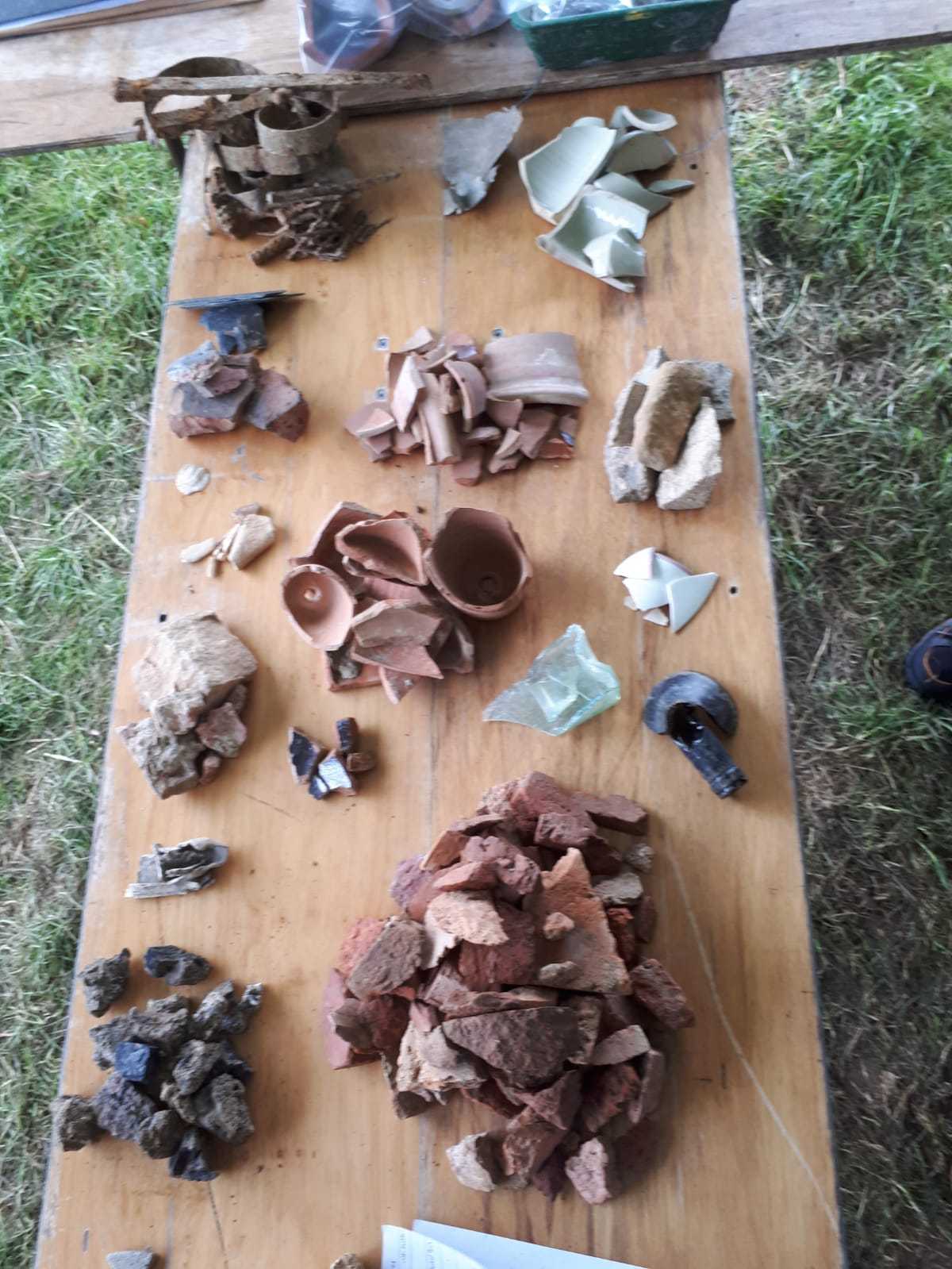
- Tertiary modern rubble fill of ditch [6007]
- Maiya Pina-Dacier
- 29-5-2019
-
Context: SUD_6010
- Cut of circular ditch (segment running E-W)
- Maiya Pina-Dacier
- 29-5-2019
-
Context: SUD_6011
- Modern rubble fill of ditch [6010]. Same as (6012).
- Maiya Pina-Dacier
- 29-5-2019
-
Context: SUD_6012
- Rubble fill in [6010] equal to (6011)
- Dan Alexander
- 30-5-2019
-
Context: SUD_6013
- Clay fill of ditch [6007]. Probably same as (6016) buried turf line
- Anne Beech
- 28-5-2019
-
Context: SUD_6014
- Gravel lower tertiary fill of ditch [6010]
- Dan Alexander
- 28-5-2019
-
Context: SUD_6015
- Possible buried turf line in ditch [6010]
- Maiya Pina-Dacier
- 29-5-2019
-
Context: SUD_6016

- Possible buried turfline in ditch [6007]
- Maiya Pina-Dacier
- 29-5-2019
-
Context: SUD_6017
- Fill of ditch [6007]
- Kelli Farr
- 1-6-2019
-
Context: SUD_6019
- Possible clay lining of ditch [6010]
- Jason Panting
- 2-6-2019


Narrative
-
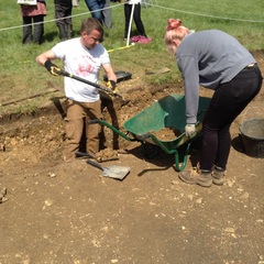
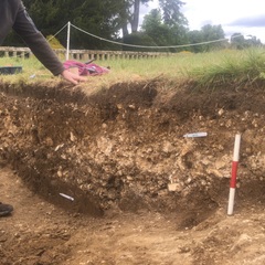
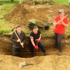
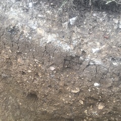
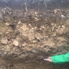
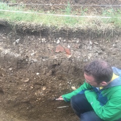
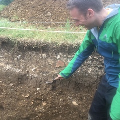
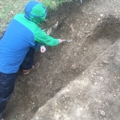
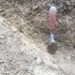
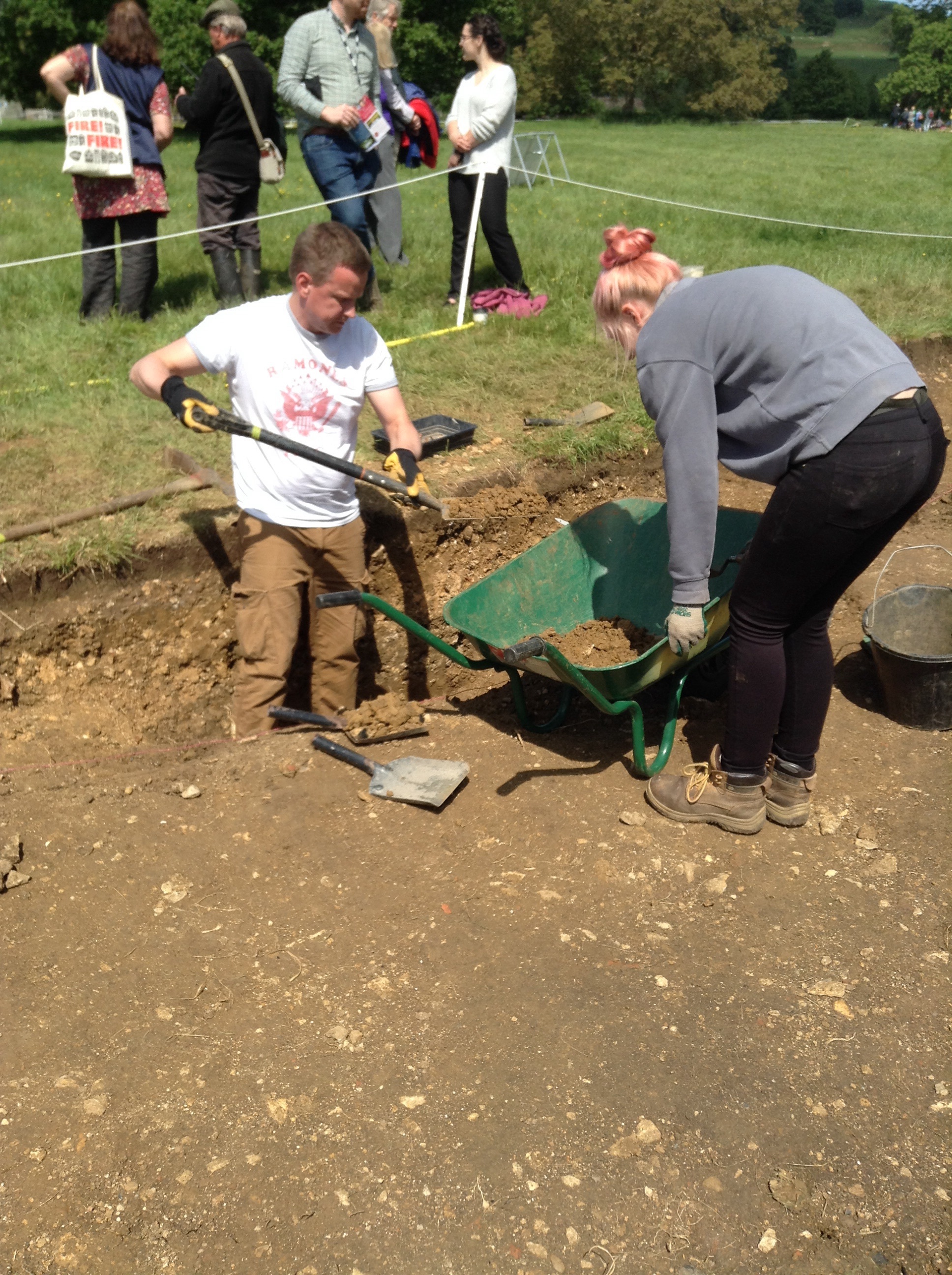
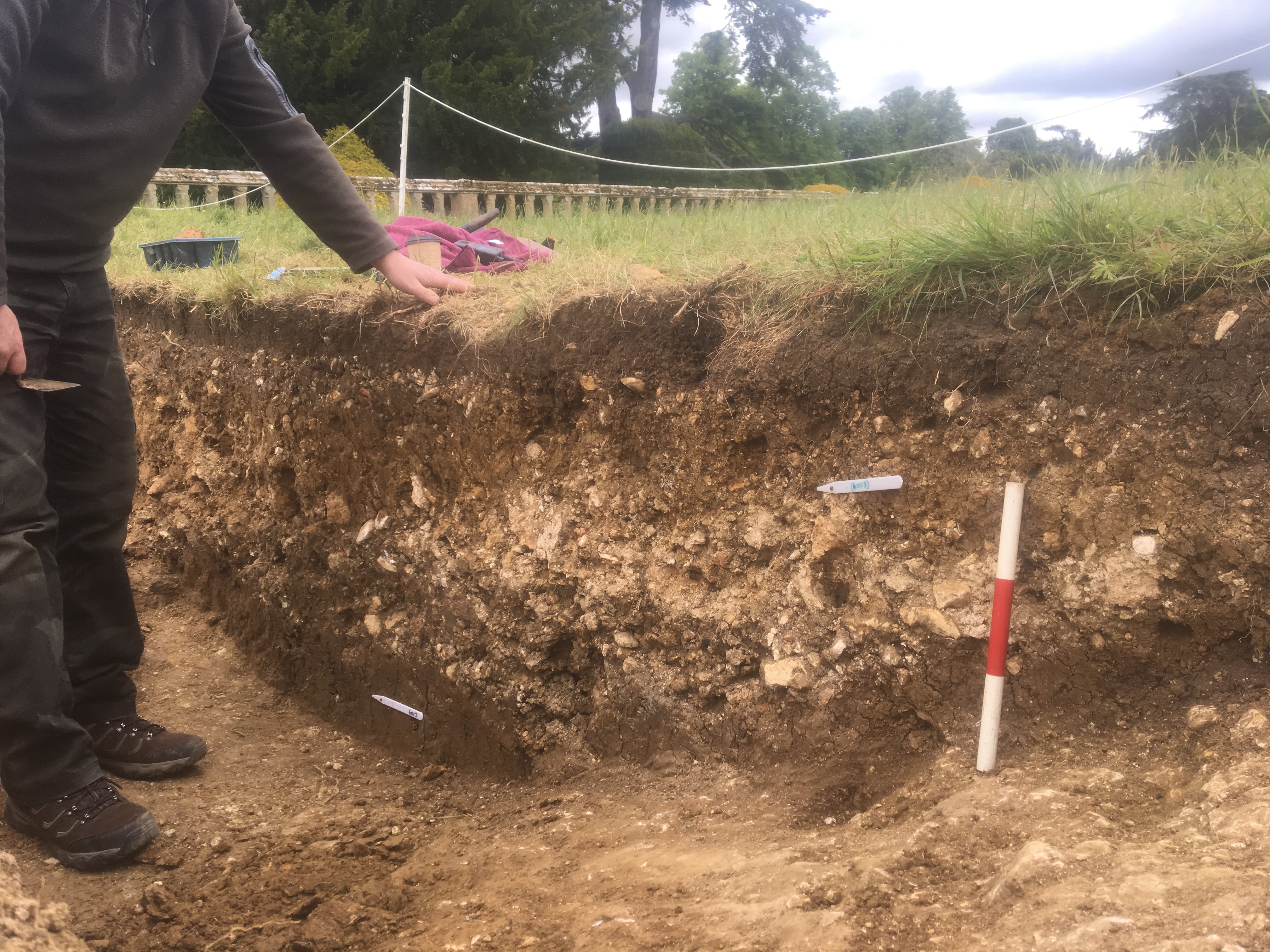
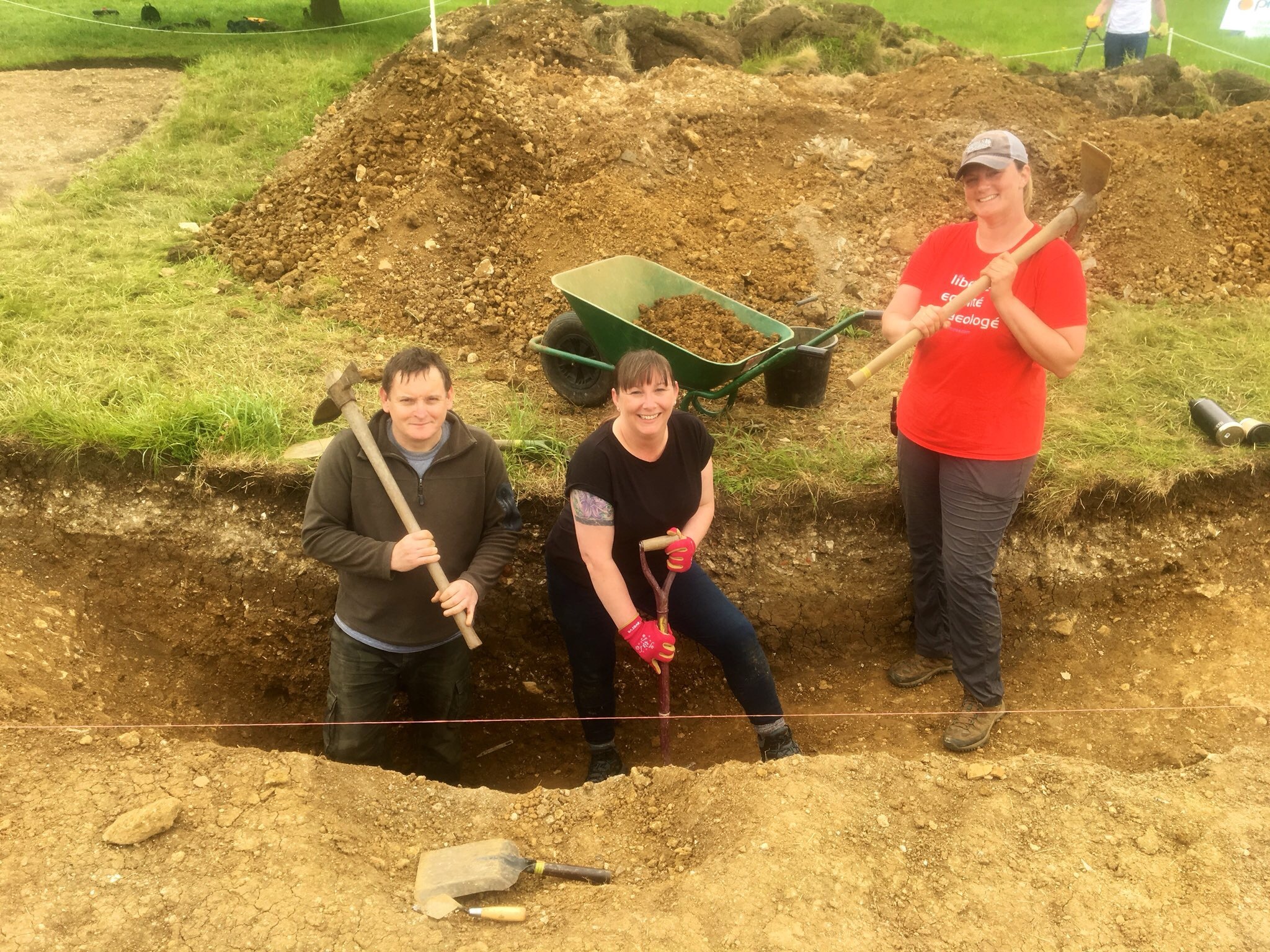
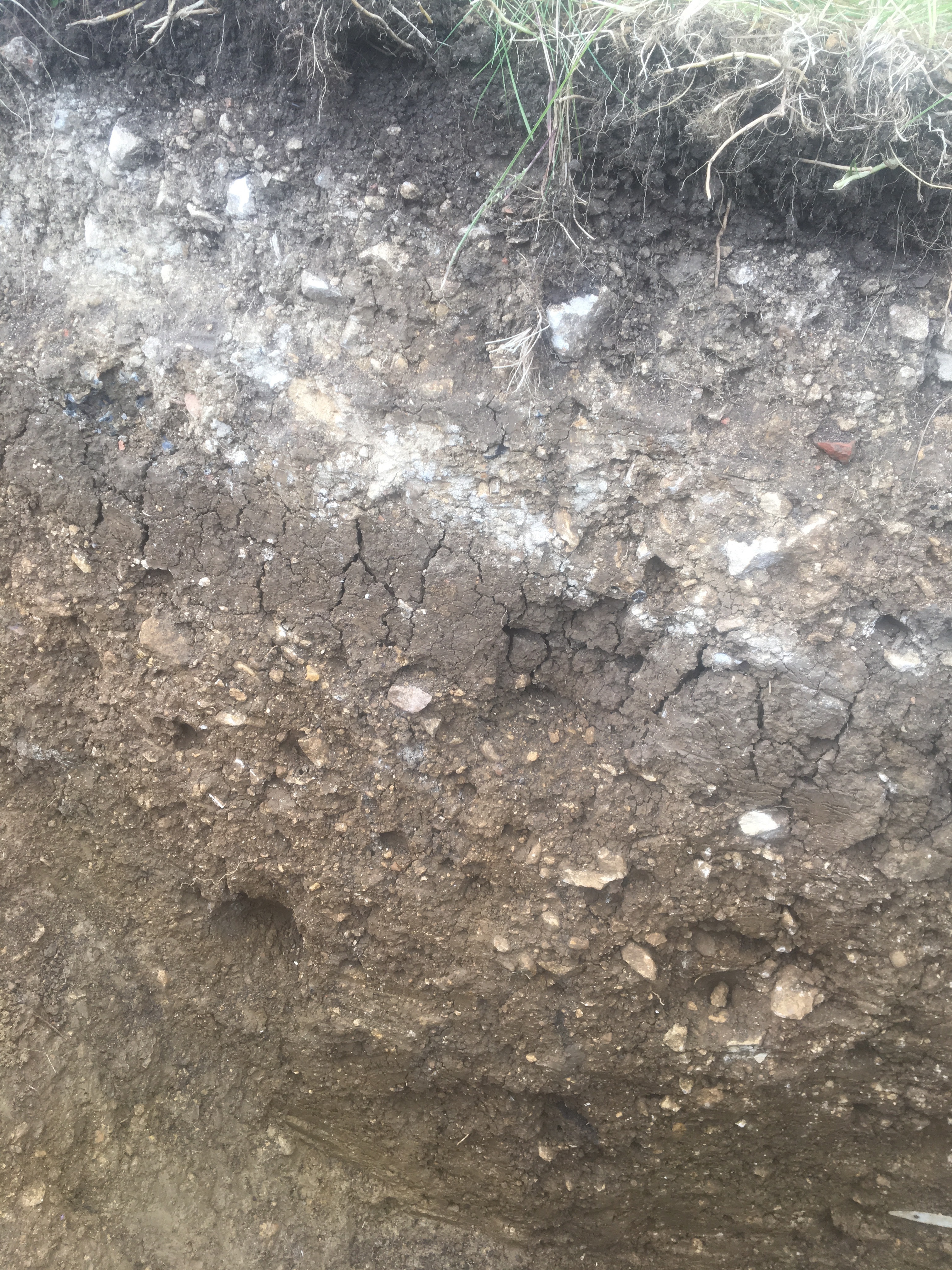
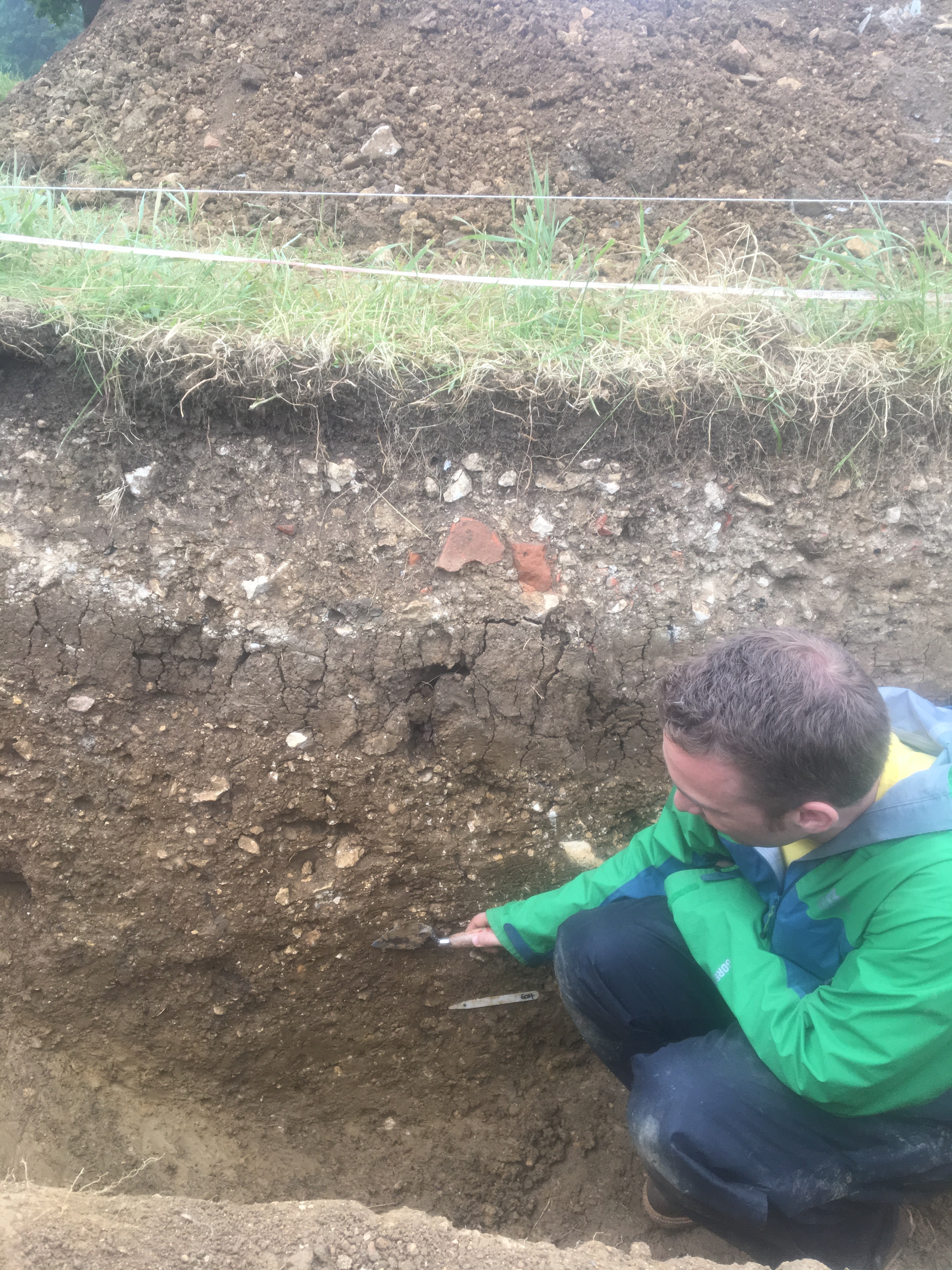
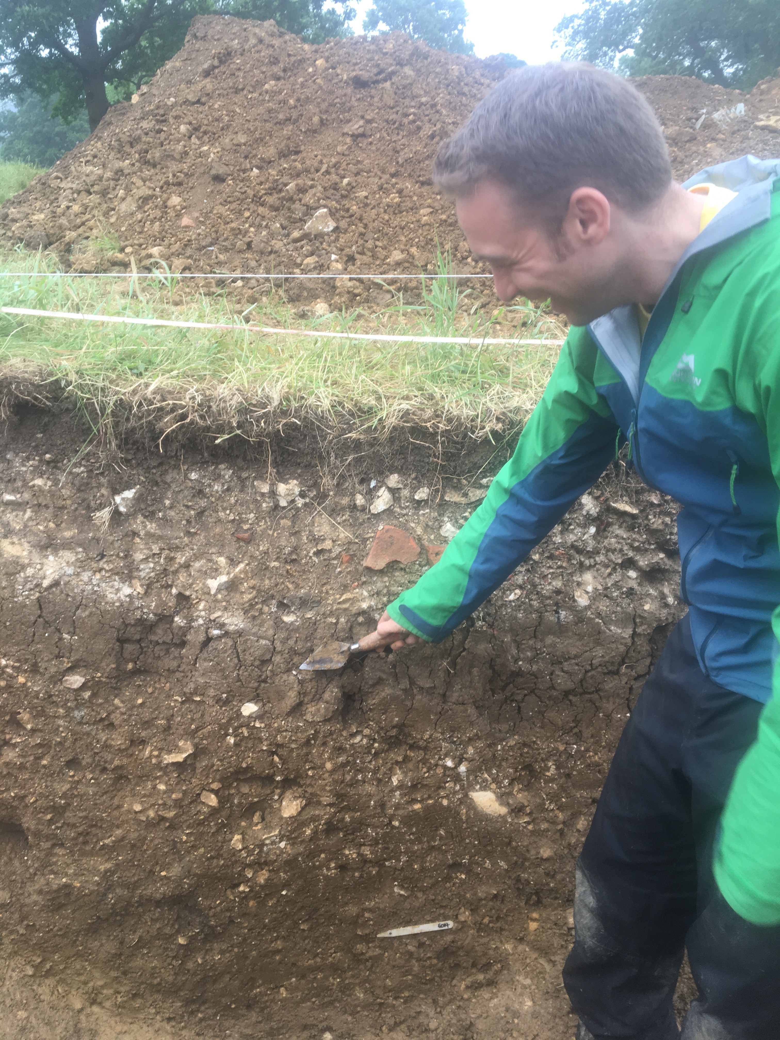
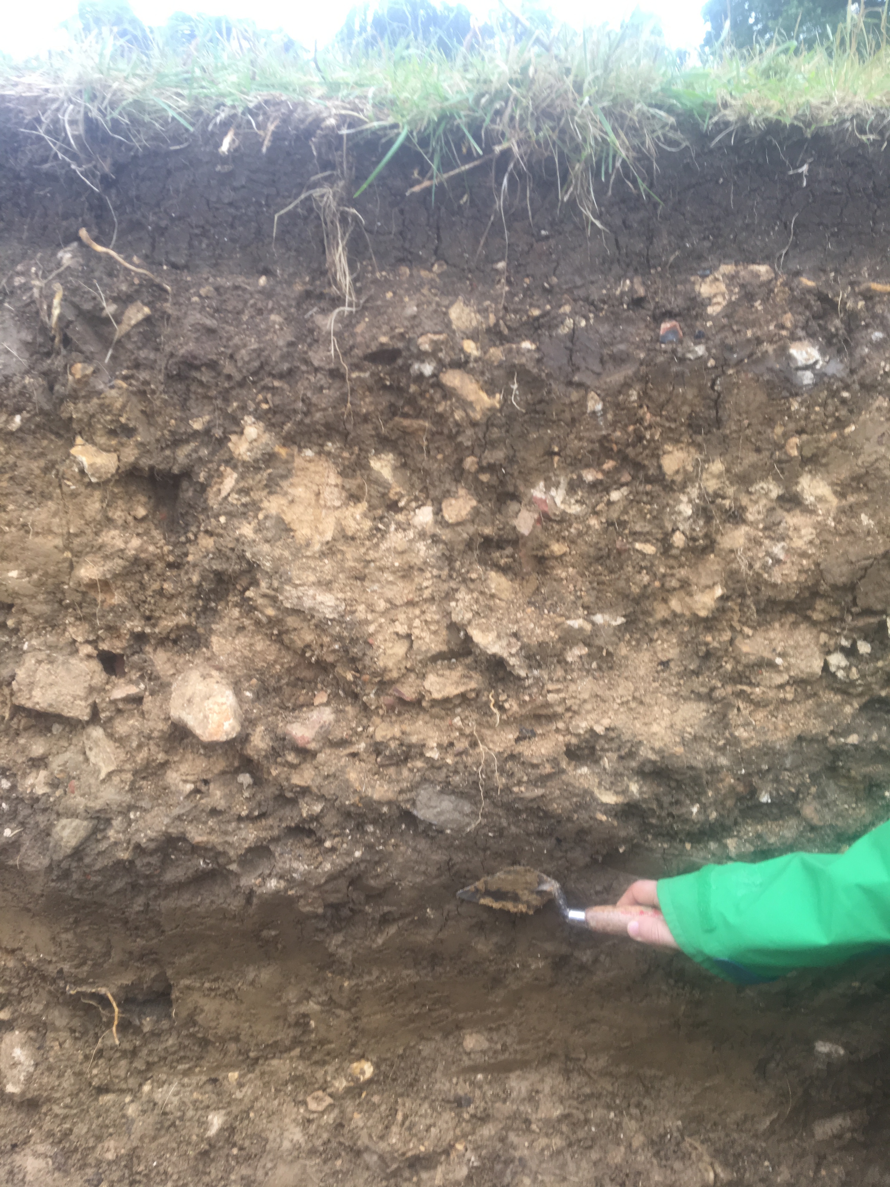
- Two apparent ditches were observed in the trench which is more likely to be one ditch (F602) which was curvilinear in plan. Although it is more likely that the ditch was actually circular. The first part of the ditch was located in the north of the trench aligned east to west and the second part aligned north to south located in the middle of the trench. The first ditch [6010] was 3.60m in length, 3.00m wide and m deep, curvilinear in plan with gradual break of slope at the top with steep sides and a flat to ‘V’ shaped base. It contained four fills. The lowest fill (6019) comprised of a light yellowish-brown clay with some greenish grey patches 0.05m deep representing a possible waterproof lining. The second fill (6014 = 6022) comprised of a yellowish-brown clay with frequent small and medium sub-angular stones moderately sorted probably gradually filling the ditch during a period of abandonment. The next fill (6015) comprised of a mid-greyish brown silty clay 0.30m deep representing a probable buried turf line from an abandonment phase. The top fill (6011 = 6012) was 3.60m in length, 3.00m wide and m deep, comprising of a mixed deposit reflecting different dumping episodes of various hues including mid brown, mid greyish brown and light yellowish brown of silty sandy clay and clay with frequent small sub angular stones. The second ditch [6007] was 3.60m in length, 3.00m wide and was not fully excavated. It was also curvilinear in plan-oriented east to west gradual break of slope top with steep sloping sites. It contained three fills. The lowest fill (6017) comprised of a yellowish-brown clay with frequent small and moderate medium sub-angular stones probably gradually filling the ditch during a period of abandonment (= 6014 = 6022) . The next fill (6013 = 6016) comprised of a greyish brown silty clay probably representing the same buried turf line from abandonment phase as the first ditch (6015). This was also covered during the 20th century by the same rubble backfilling (6008). The top fills therefore reflect modern early 20th century rubble dumping probably from a 19th century greenhouse and dumping in the 1940s to fill in convenient hollows within the ditches as levelling deposits. The ditches appear likely to have been constructed into the mound (F601) and are likely to be contemporaneous.
-
- Stuart Noon
- 22-7-2019
Dating Narrative
-
- 1570's
-
- Stuart Noon
- 22-7-2019