Short Description:
Robbing event of stone wall
Issued to
Jane Bowden | 13/06/2019

Interpretation
-
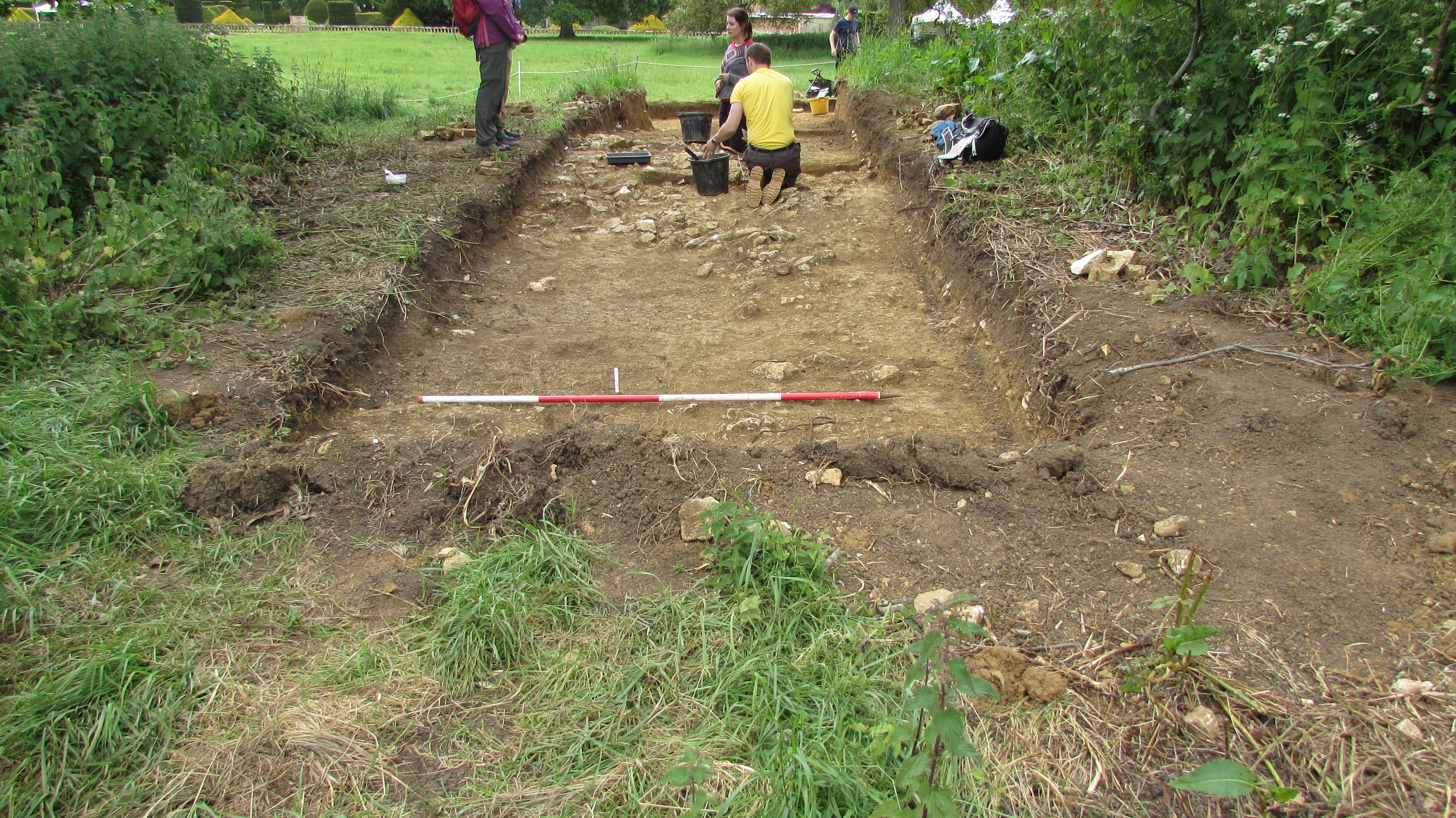
- The cut of the north to south trench [7019] was linear in plan with a very gradual break of slope top with gently sloping sides and a concave base 5.87m long and 3.00m wide. It was also filled with a very fine sieved mid grey silty sand (7027) representing the last event in the stratigraphic sequence. Emma Dent’s interpretation of the mound was a Manor house that subsequently appeared on the 25” 1st edition Ordnance Survey map of 1884 (GCCHER: 2169). However, no trace of a Manor House was discovered during this excavation and what she discovered appears to be a later building more likely to be a banqueting house.
-
- Stuart Noon
- 28-6-2019
Sketch Photo
Stratigraphic Matrix
Equal To
Description
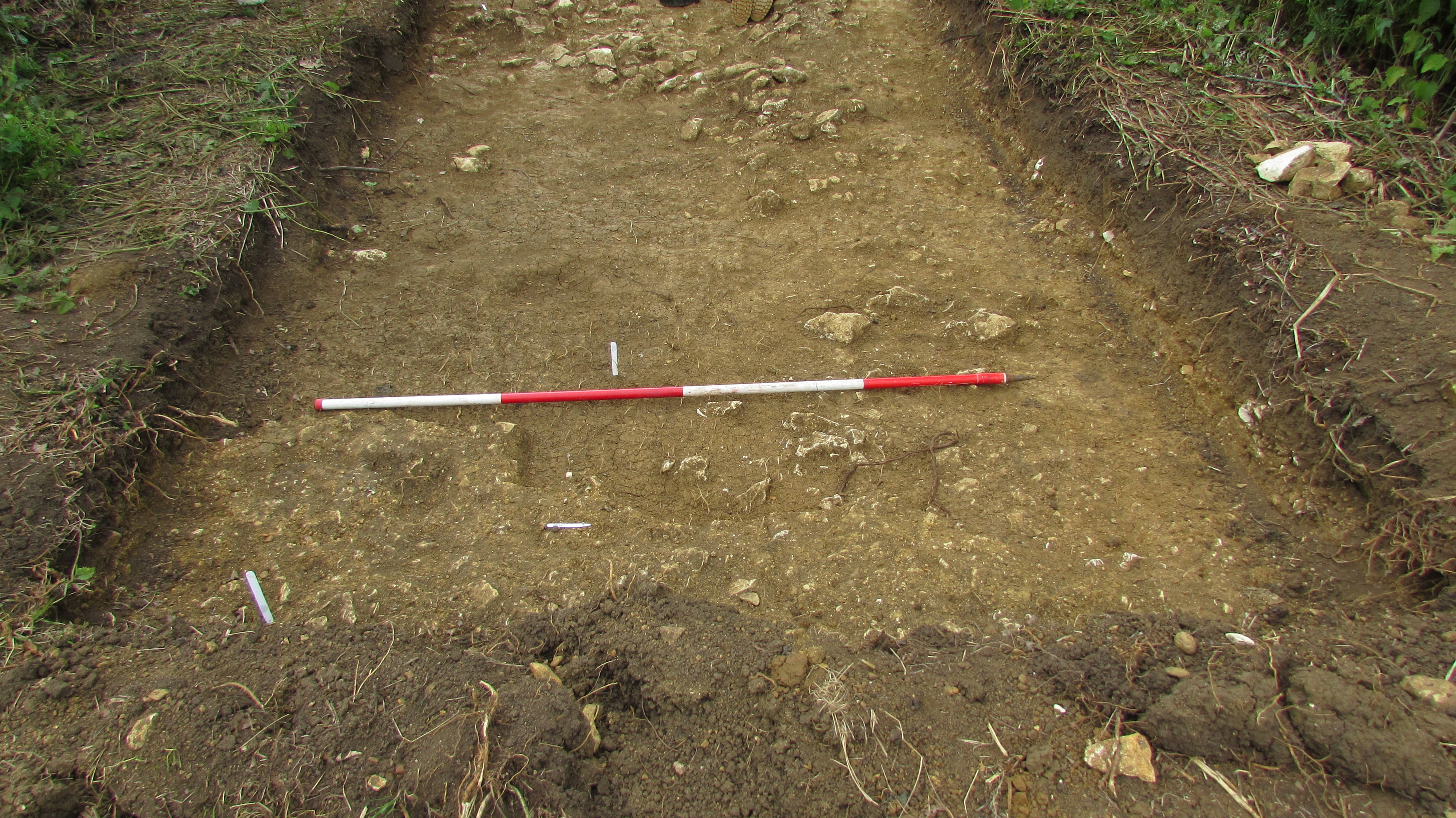
- Linear in plan
- Length 6.30m Width 3.00m Depth 0.05m
- very gradual break of slope top
- N-S
- gently sloping sides
- a concave base
Finds
Feature
-
Feature: SUD_705
- Emma Dent’s 1877 excavation running north to south
Plan
-
Plan: sud_7
- Plan of trench 7 and strat not to scale
- Stuart Noon
- 24-7-2019
Record Details
- Not set
- Jane Bowden 13-6-2019
- - - - -
- - -