Scan
- No Files Attached
Scale
Description
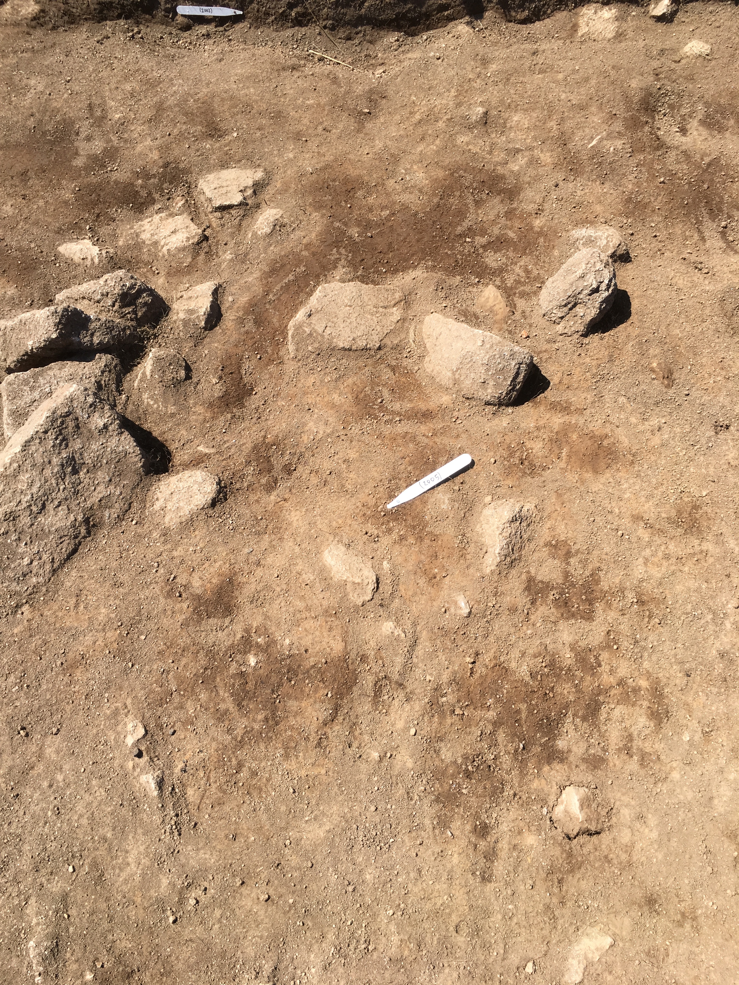
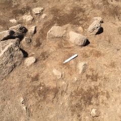
- Plan of multi-context feature (2008) (2005) (2007) [2017] [2018]
- John Sawle 9-8-2018
Contexts
-
Context: WNF_2005
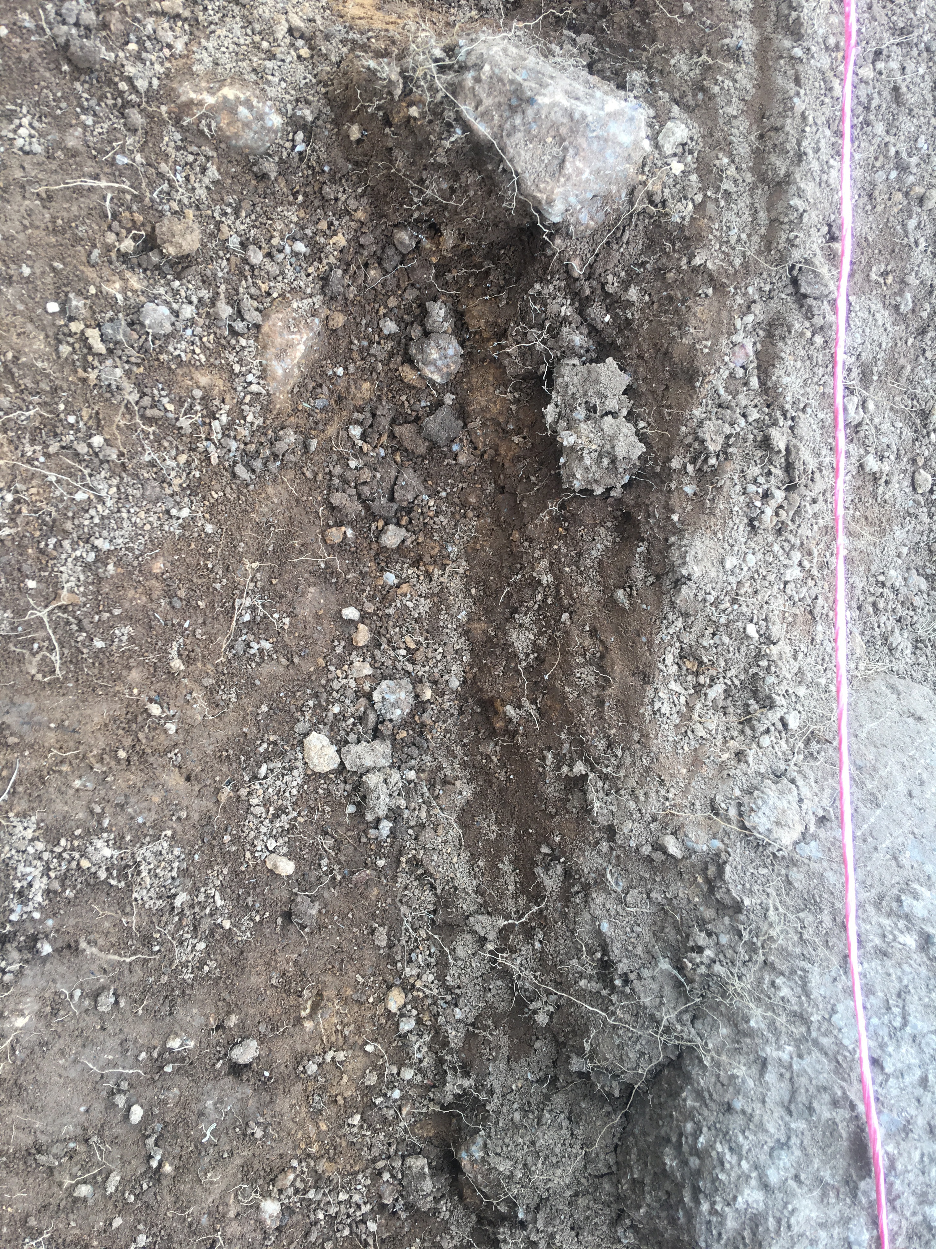
- Brown sandy silt in trench two , ditch fill [2010]
- John Manley
- 5-8-2018
-
Context: WNF_2007

- Fill or layer overlying (2005)
- Philip Brigham
- 7-8-2018
-
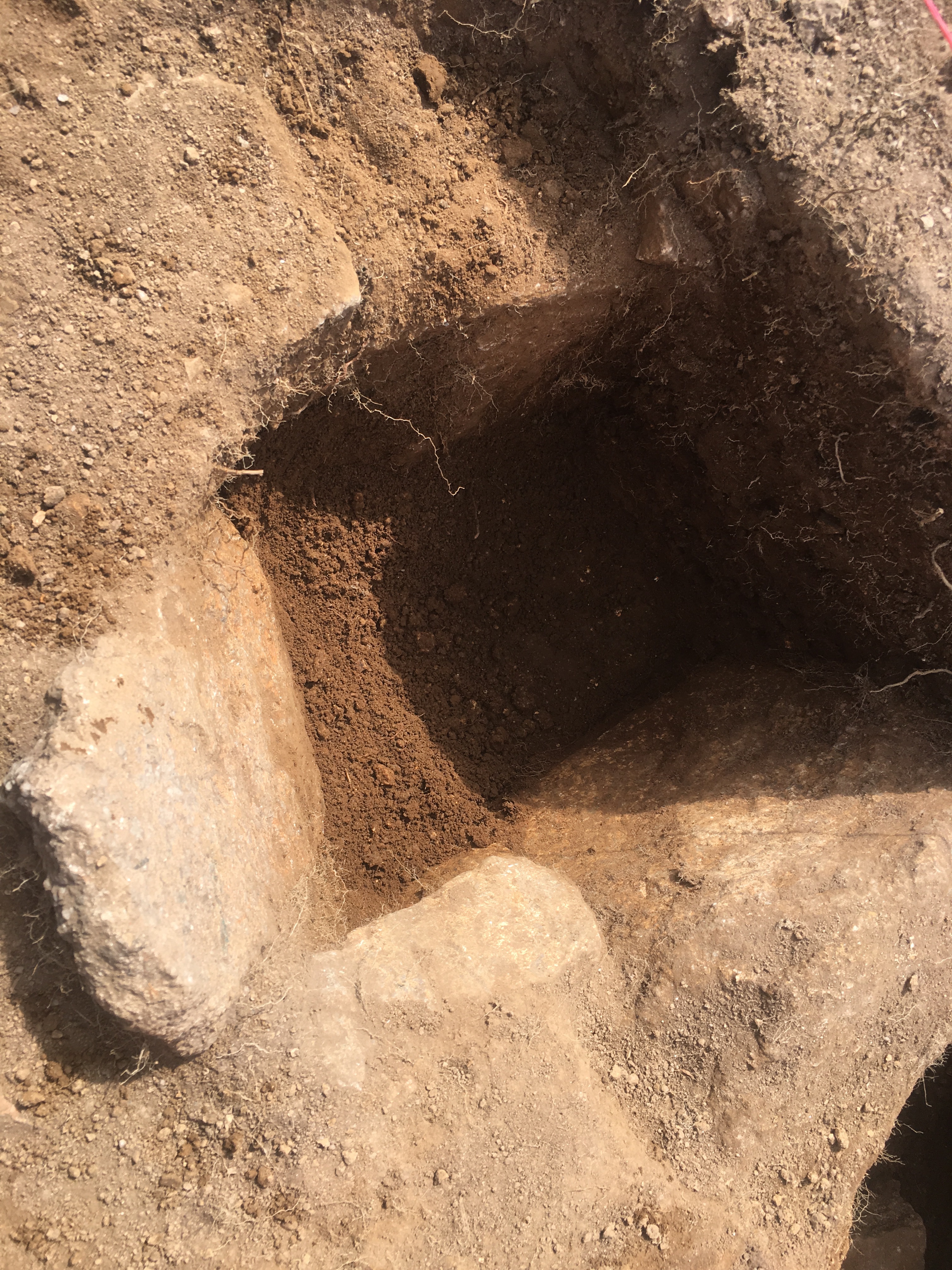
Context: WNF_2008
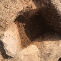
- Fill of possible socket hole
- Margaret Thornley
- 7-8-2018
-
Context: WNF_2017
- Cut of post hole in central east of trench two, filled by (2007)
- Euan Hunter
- 9-8-2018
-
Context: WNF_2018
- Cut of post hole lined by stones in central east of trench two, filled by (2007) - abutting wall/foundation cut [2011]
- Euan Hunter
- 9-8-2018