- Test pit at High Chimneys
Photos
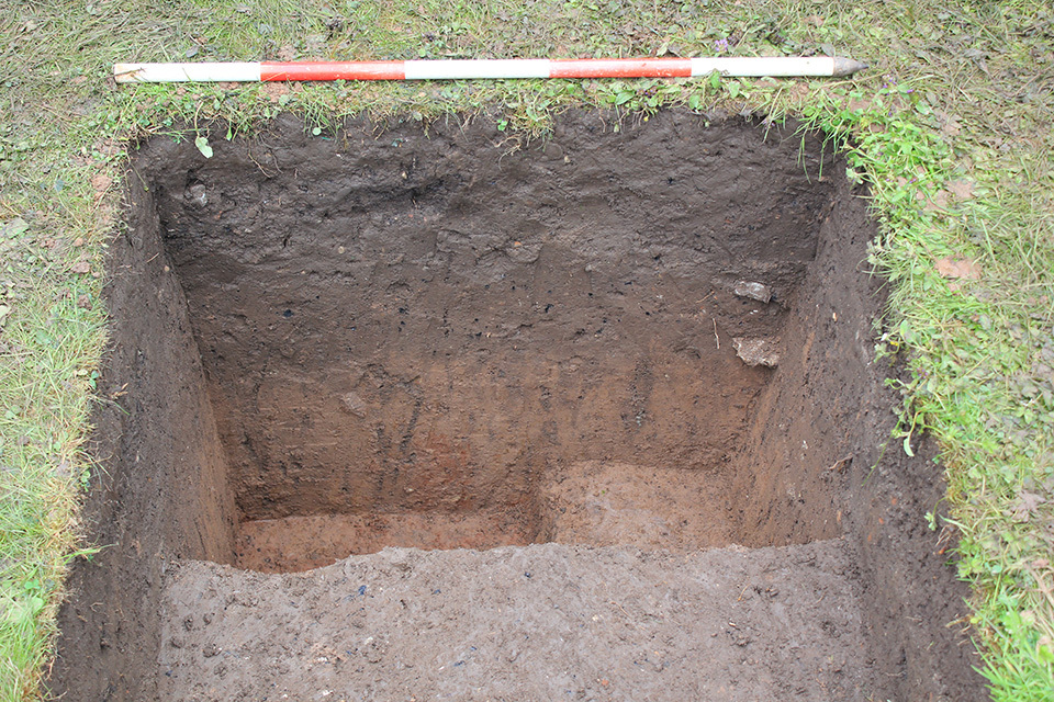
- Test Pit 21 was located in the back garden of High Chimneys, Westend Lane to the west of the village and at least 100m away from the projected edge of the outer bank. The test pit was excavated to a depth of 0.60m below the level of the existing ground surface. The earliest layer encountered was firm light brownish yellow silty sand subsoil (21004), which was overlain by a similar layer of 0.15m thick brownish red silty sand (21003). These were sealed by a 0.23m thick layer of orange brown silty sand ploughsoil (21002) that included very occasional charcoal flecks and pieces of degraded sandstone. The latest deposit was topsoil (21001), comprising soft dark brown clayey sand to a depth of 0.10m. Small quantities of pottery and ceramic building material from the uppermost two layers date their formation to the modern period. The silty sand nature of the earlier layers, and the lie of the land closer to the Severn, suggests that they may have been alluvially derived possibly as the result of episodes of flooding.
3-D Models
Plan
- No records attached.
Section
-
Section: OBC_16
- South-facing section of Trench 21
- Lauren Nofi
- 1-7-2017
Features
- No records attached.
Contexts
- Wendy Lyons 28-6-2017