- Test Pit in the front garden of the Old Forge
Photos
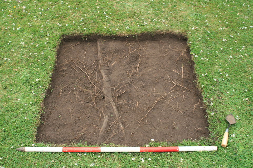
- Test Pit 19 was located in the front garden of The Old Forge on land 1m lower than in the back garden, next to Camp Road where the monument’s ditch is assumed to have been. The test pit was excavated to a depth of 0.7m below the existing ground level in the east corner. The earliest layer encountered in the test pit was reddish brown clay natural (19007). This was overlain by a 0.06m thick layer of reddish brown silty clay with frequent sub-angular stones (19006), which had been sealed by a 0.2m thick stone surface (19005). This surface extended across the half of the test pit excavated to that depth and consisted of sub-angular cobbles packed within an orange brown silty clay soil matrix. On top of the surface was a 0.22m thick orange brown silty clay with occasional charcoal flecks and small sub-angular stone inclusions (19004). This was sealed by a layer of dark greyish brown sandy silt with a moderate amount of charcoal and stone inclusions (19003), which was overlain by subsoil (19002) comprising greyish brown sandy silt with moderate stone and degraded limestone inclusions. Topsoil was found at the top of the sequence, made up of dark greyish brown loam. The 1st edition Ordnance Survey map of the village shows Camp Road considerably wider than it is at present, extending further to the north. The stone surface identified 0.5m below the existing turf line may be this road, or more likely a yard surface that served the forge contemporary with an earlier form of the road. Modern pottery was recovered from the surface and from almost all overlying deposits, indicating a degree of modern landscaping in the front garden. Layer (19003) included a pipe stem fragment with the makers stamp ‘PE’, Philip Edward from Bristol, which can be dated to 1640-1670. A single sherd of 11th century pottery was found in the layer directly above natural (19006), which may be the remains of a truncated medieval deposit, levelled for the construction of the stone surface, or possibly a medieval/post-medieval leveling layer which contained a residual sherd of earlier pottery.
3-D Models
Plan
- No records attached.
Section
-
Section: OBC_12
- Northwest-facing section of Trench 19
- Mary Knight
- 25-6-2017
Features
- No records attached.
Contexts
-
Context: OBC_19001
- Topsoil
- Maggie Eno
- 25-6-2017
-
Context: OBC_19002
- Subsoil
- Maggie Eno
- 25-6-2017
-
Context: OBC_19003
- Poss cultivation layer
- Maggie Eno
- 27-6-2017
-
Context: OBC_19004
- Poss cultivation layer
- Maggie Eno
- 27-6-2017
-
Context: OBC_19005
- Stone surface in silty clay
- Maggie Eno
- 27-6-2017
-
Context: OBC_19006
- Stone layer in silty clay
- Maggie Eno
- 27-6-2017
-
Context: OBC_19007
- Natural
- Mary Knight
- 29-6-2017
- Lauren Nofi 25-6-2017