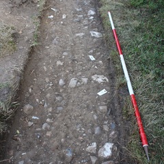
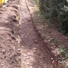
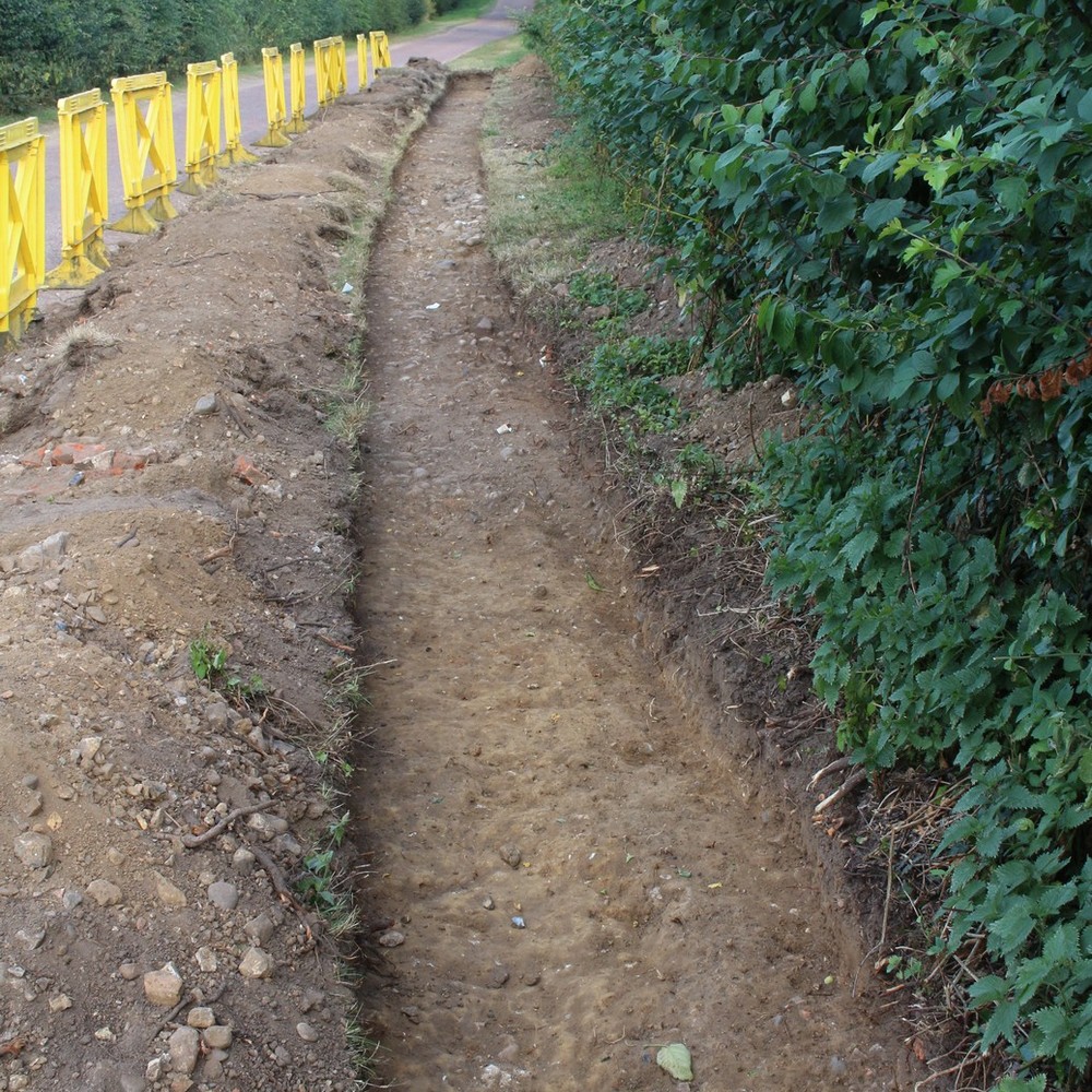
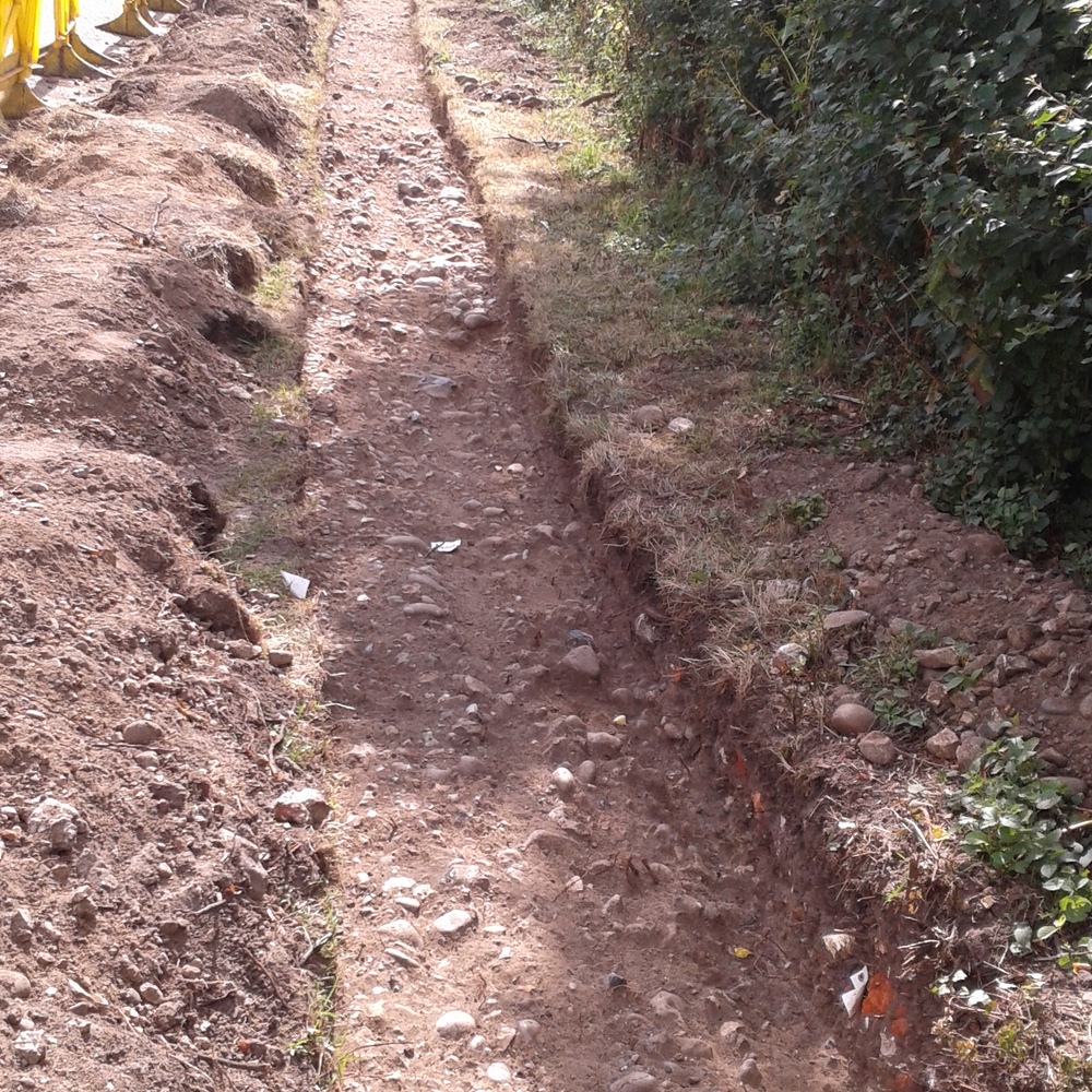
- Driveway trench - on verge
Photos
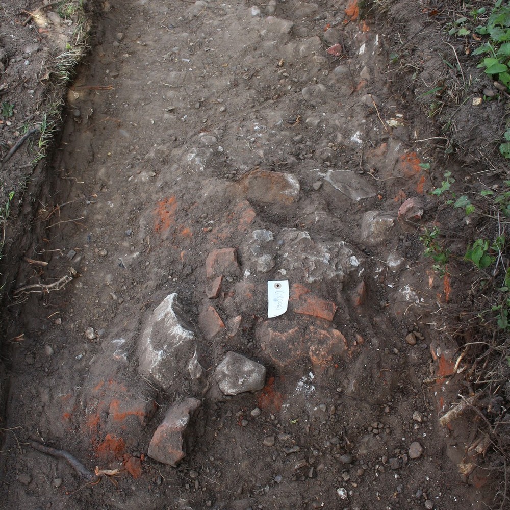

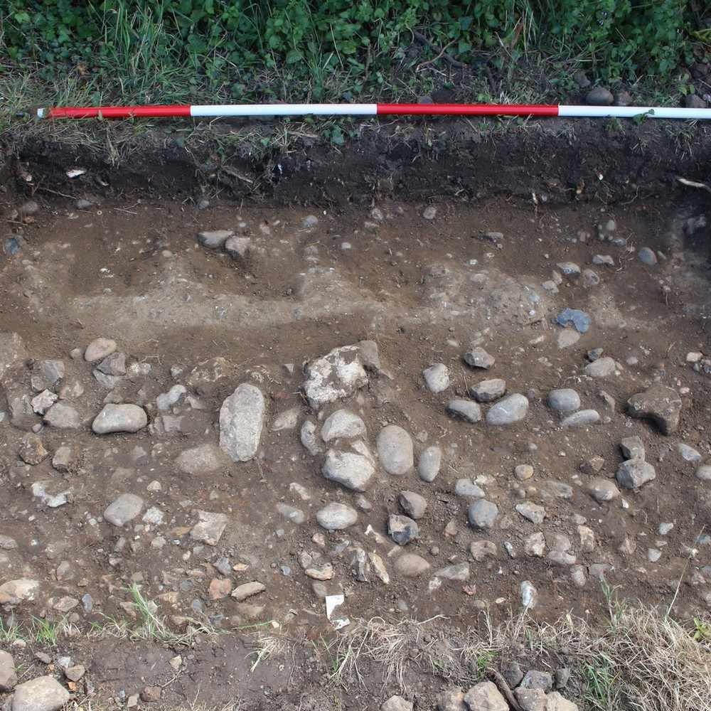
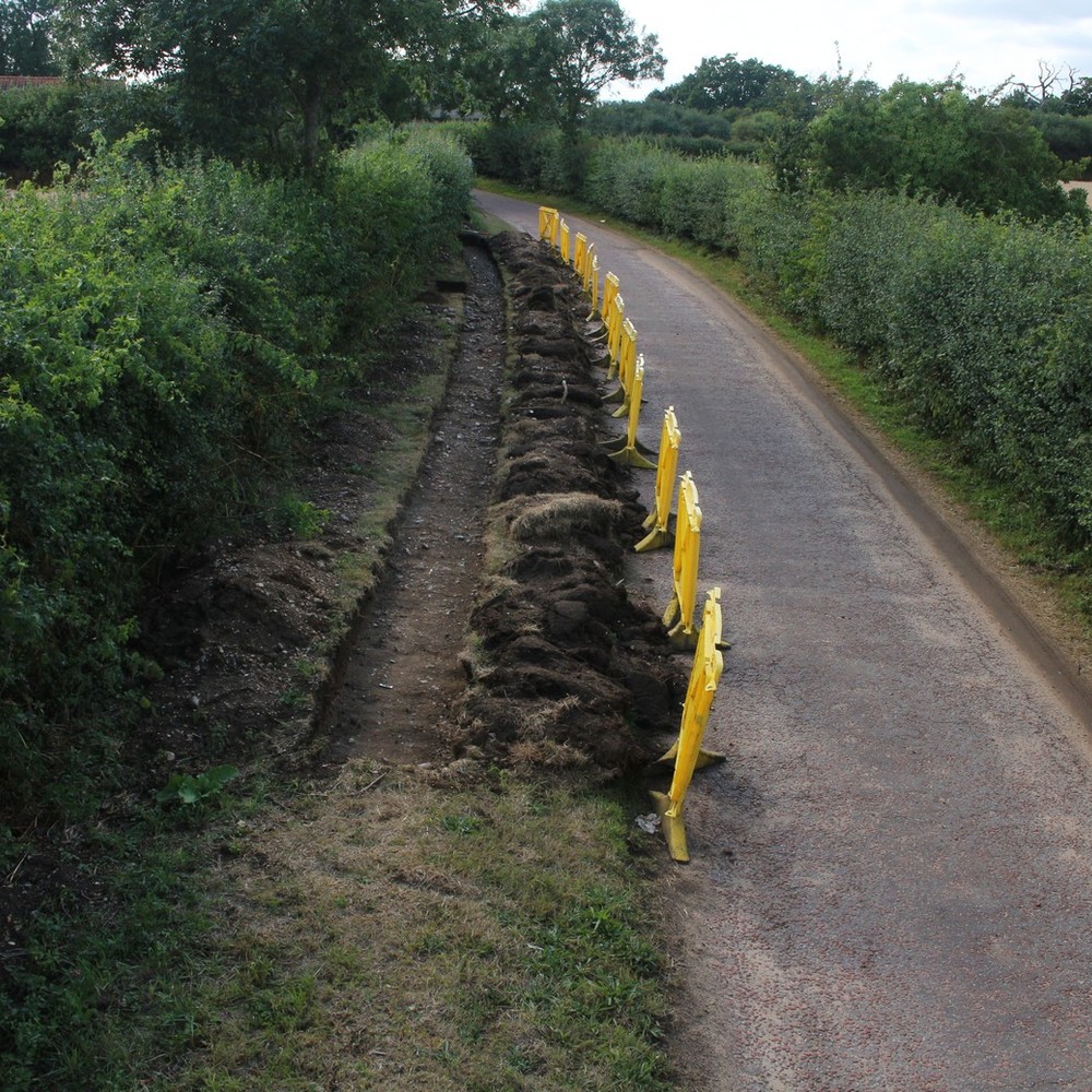
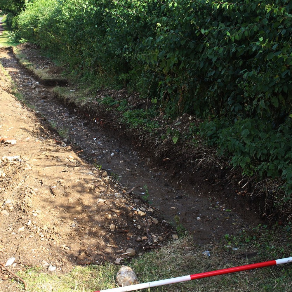
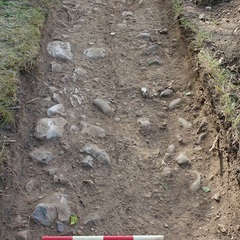
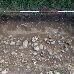
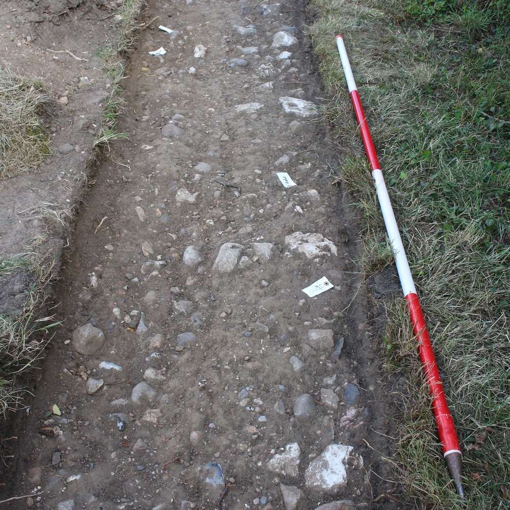
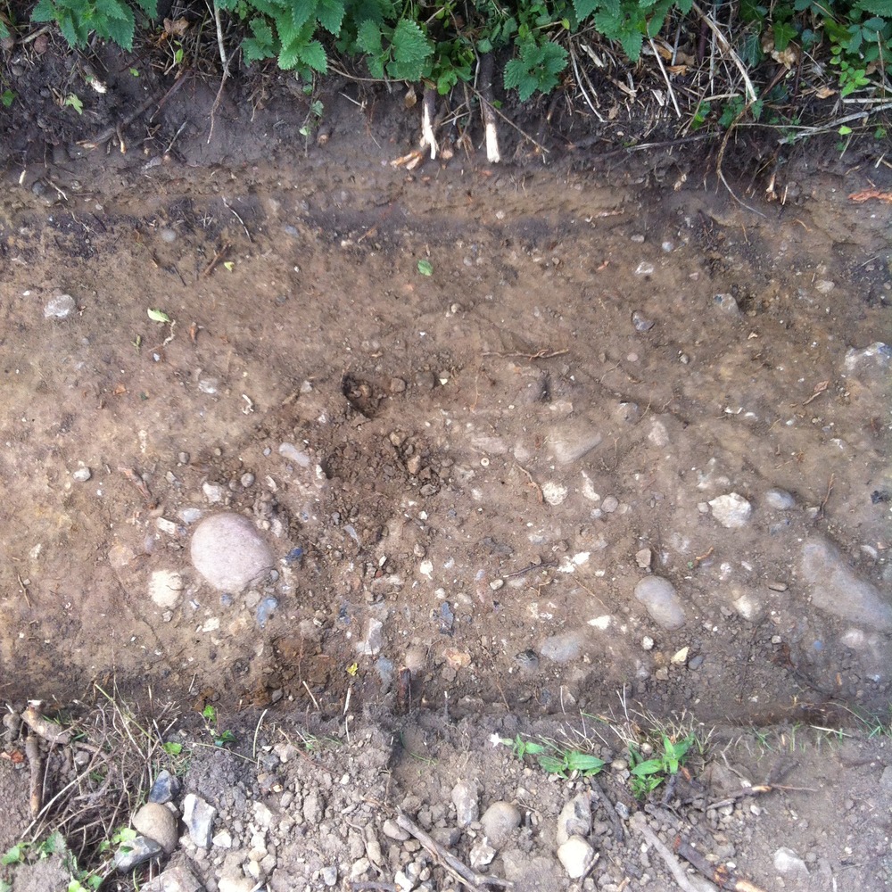
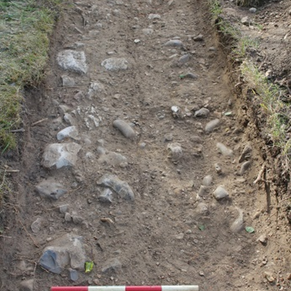
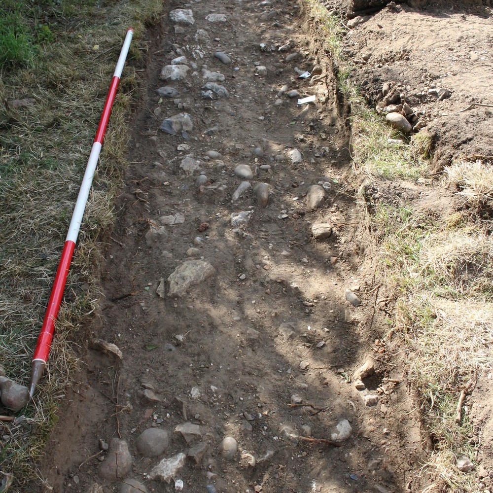
- One of two trenches on the grass verge (Trench 18) and field boundary (Trench 17) along the present day route into the site, investigated to assess the evidence for a potential location for the Abbey’s gatehouse. Trench 17 measure 25m x 0.75m.
3-D Models
Plan
-
Plan: LA_21
- Post ex plan of trench 18 drawn at 1:20
- Ben Swain
- 23-7-2015
Section
- No records attached.
Features
Contexts
-
Context: LA_18001

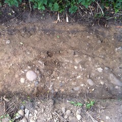
- Topsoil
- Jacky Robertson
- 18-7-2015
-
Context: LA_18002
- Subsoil
- Rita Baker
- 18-7-2015
-
Context: LA_18003
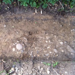
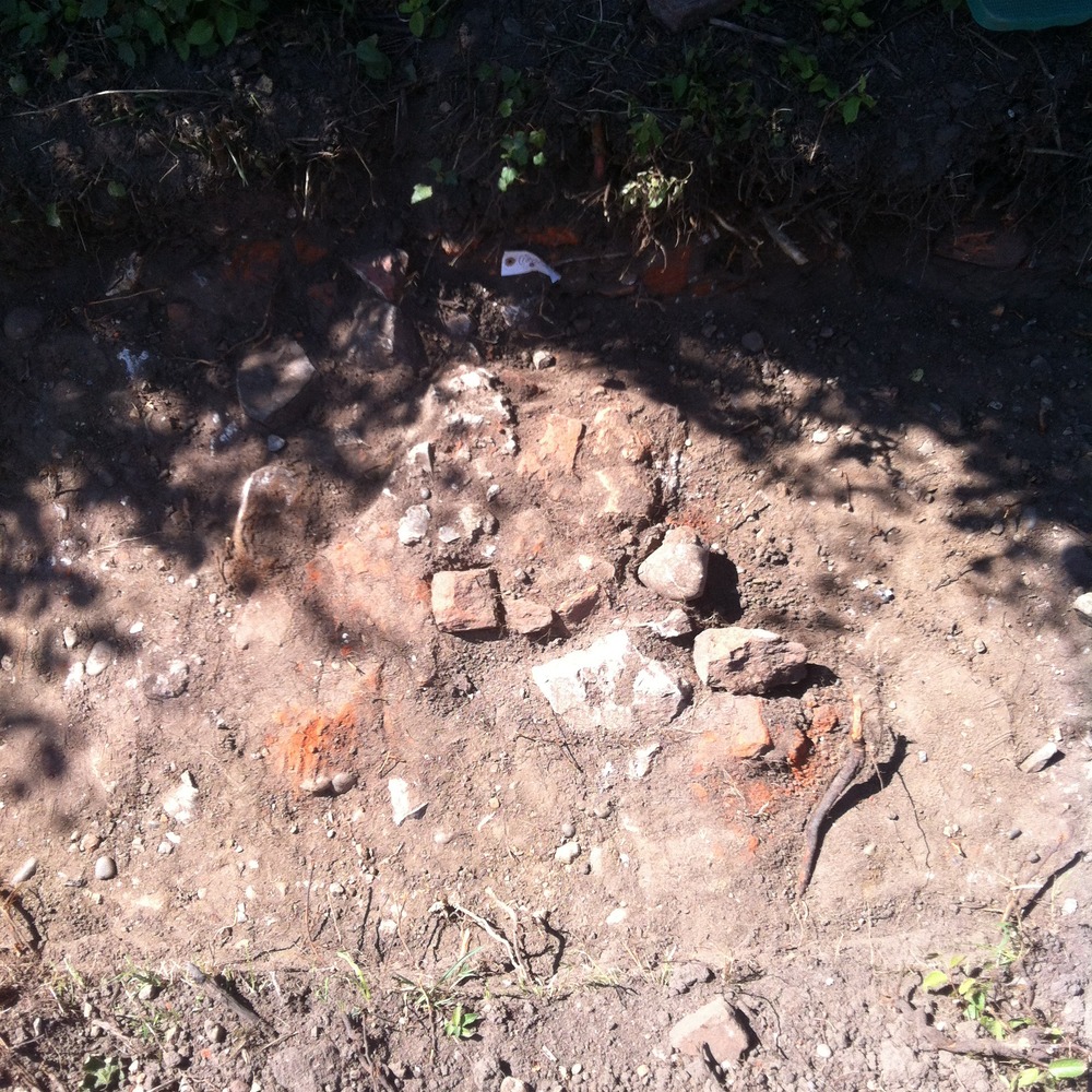
- Cut of Cobbled feature
- Rita Baker
- 18-7-2015
-
Context: LA_18004

- Natural Subsoil
- Rita Baker
- 18-7-2015
-
Context: LA_18005
- Cobbled surface
- Rita Baker
- 18-7-2015
-
Context: LA_18006
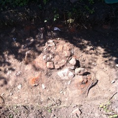
- Demolished mixed rubble
- Ben Swain
- 18-7-2015
-
Context: LA_18007
- Limestone and flint foundation wall
- Ben Swain
- 18-7-2015
-
Context: LA_18008
- Fill of cobbled feature
- Ben Swain
- 26-7-2015
-
Context: LA_18009

- Cobbled surface
- Ben Swain
- 26-7-2015
-
Context: LA_18010
- Compact leveling surface
- Ben Swain
- 29-7-2015


- Lisa Westcott Wilkins 14-7-2015