- The Eastern Field
Photos
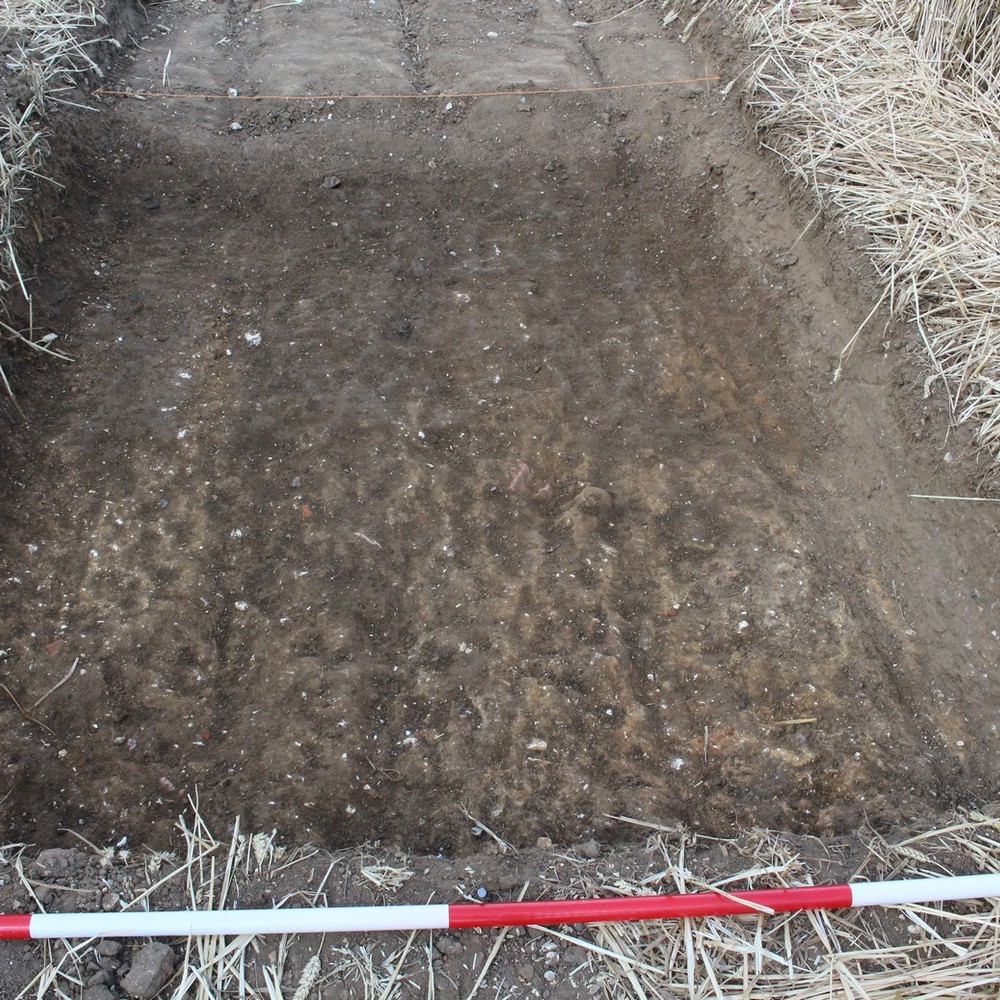

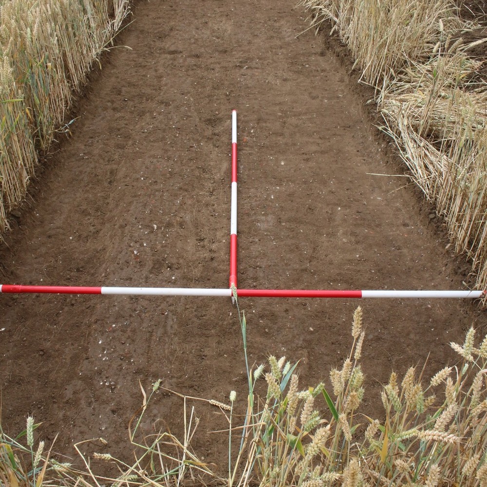

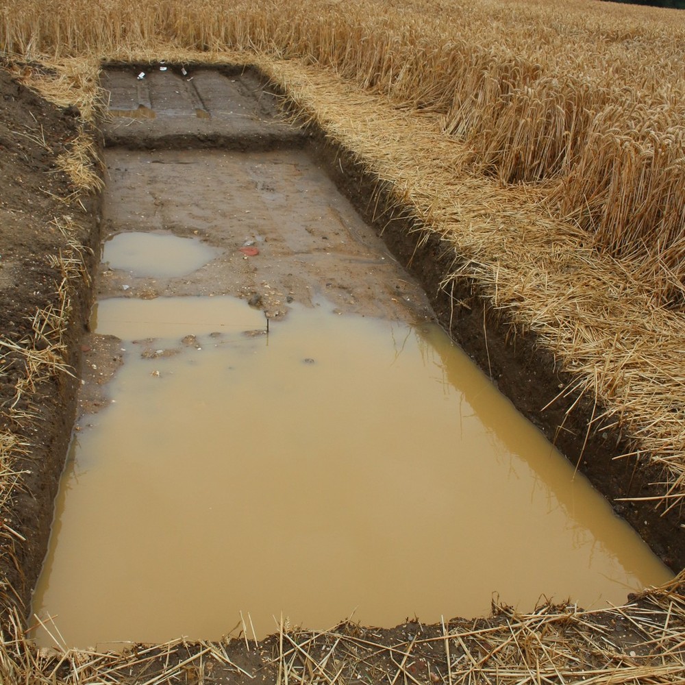
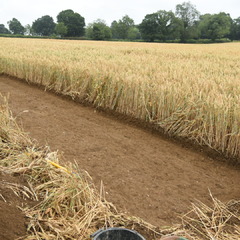
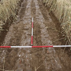
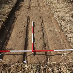
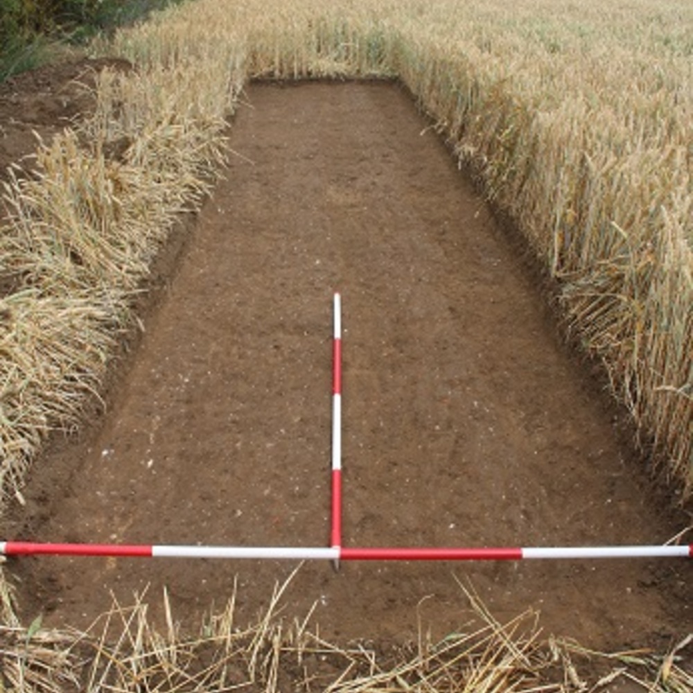
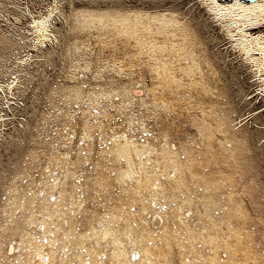
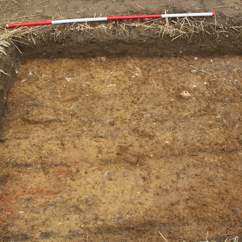
- Situated on the western boundary of the ploughed field to the east of the Abbey precinct. The trench was 2m x 9.7m and on orientated on a North-South alignment.
3-D Models
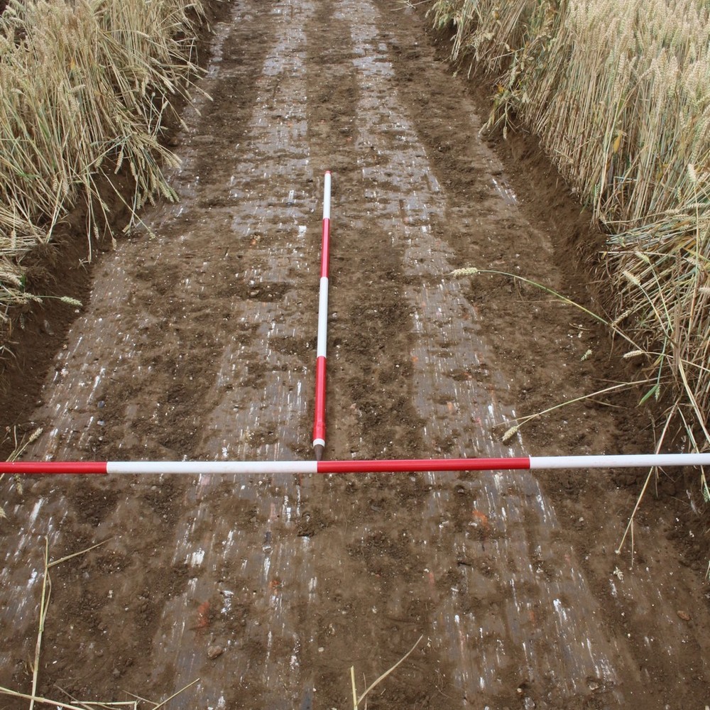
Plan
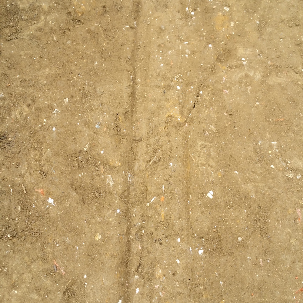
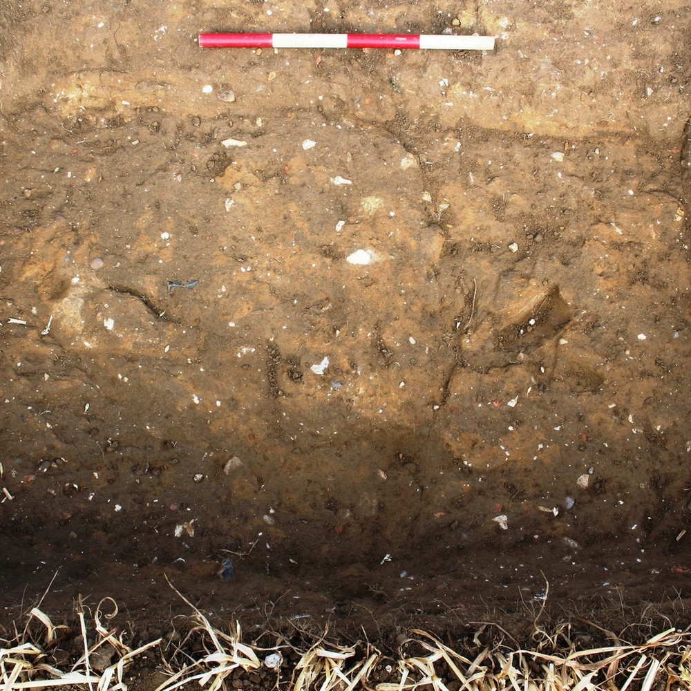
Section
- No records attached.
Features
-
Feature: LA_1601
- Plough furrows
Contexts
-
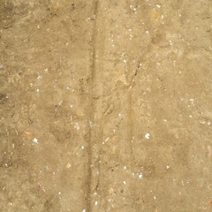
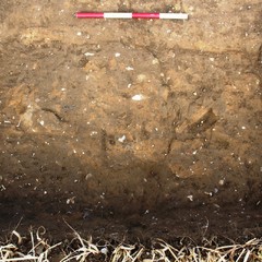
Context: LA_16001
- Topsoil
- Joan Sutherland
- 15-7-2015
-
Context: LA_16002

- Subsoil
- Jules Hynam
- 15-7-2015
-
Context: LA_16003
- Cut of Plough furrow
- Jules Hynam
- 15-7-2015
-
Context: LA_16004

- Fill of Plough furrow
- Jules Hynam
- 15-7-2015
-
Context: LA_16005

- Cut of Plough furrow
- Jules Hynam
- 15-7-2015
-
Context: LA_16006
- Fill of Plough furrow
- Jules Hynam
- 15-7-2015
-
Context: LA_16007
- Cut of Plough furrow
- Jules Hynam
- 15-7-2015
-
Context: LA_16008

- Fill of Plough furrow
- Jules Hynam
- 15-7-2015
-
Context: LA_16009
- Layer of compacted clay
- Jules Hynam
- 23-7-2015
-
Context: LA_16010

- Layer
- Francine Hills
- 24-7-2015
-
Context: LA_16011

- Natural
- Ben Bazeley
- 7-8-2015


- Ben Bazeley 14-7-2015