- The Western Area
Photos
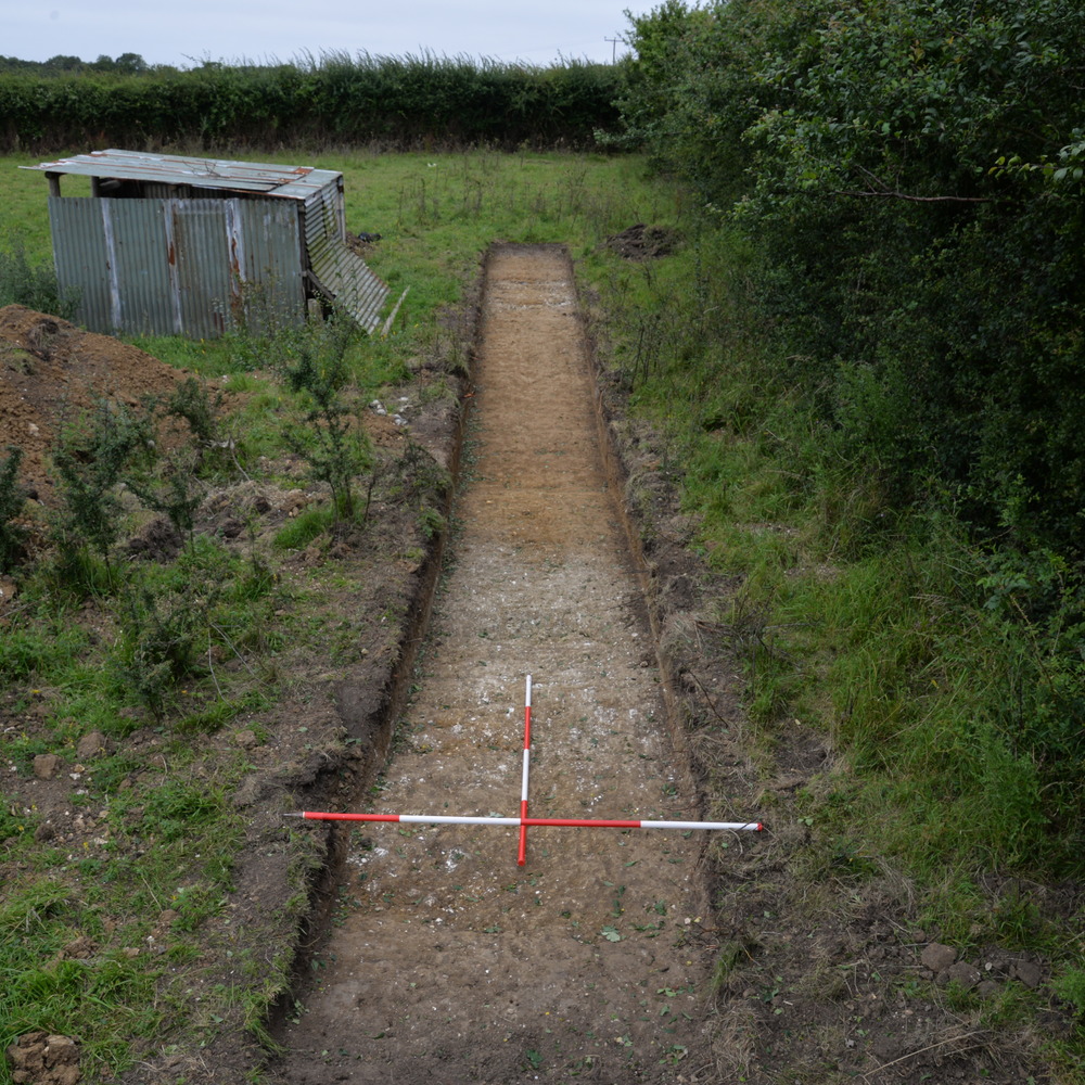
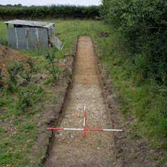
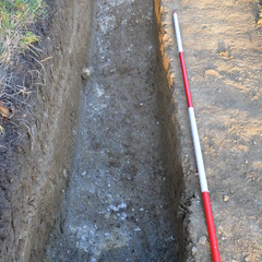
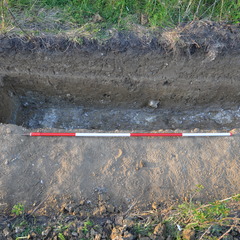
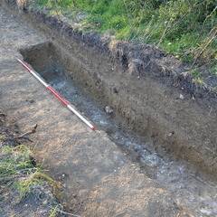
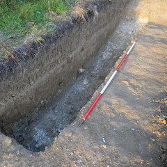
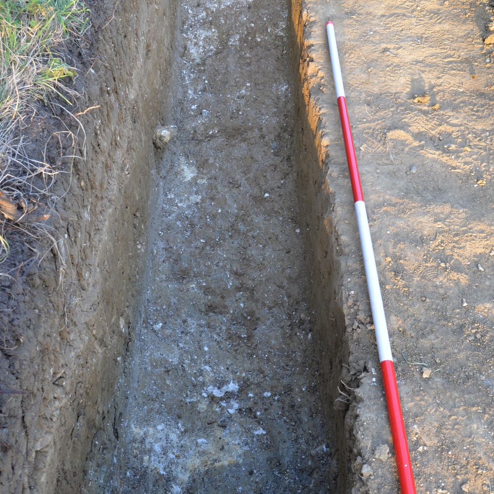
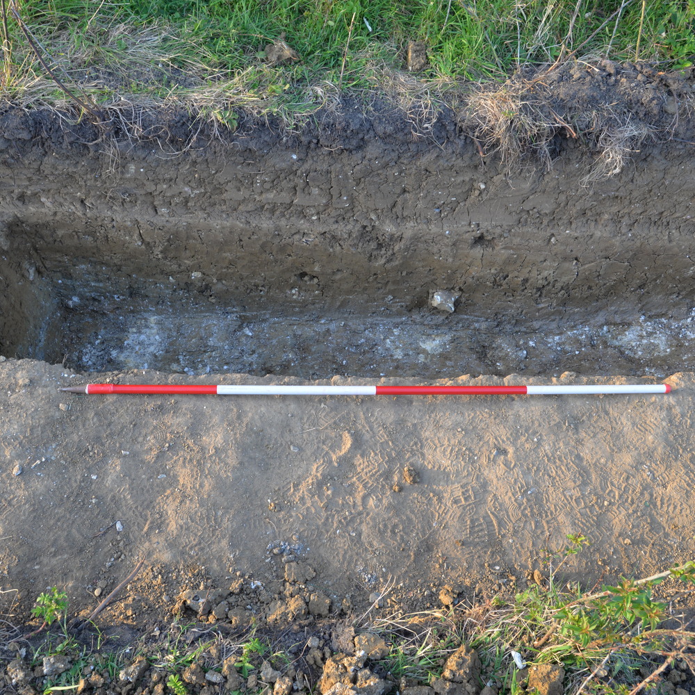
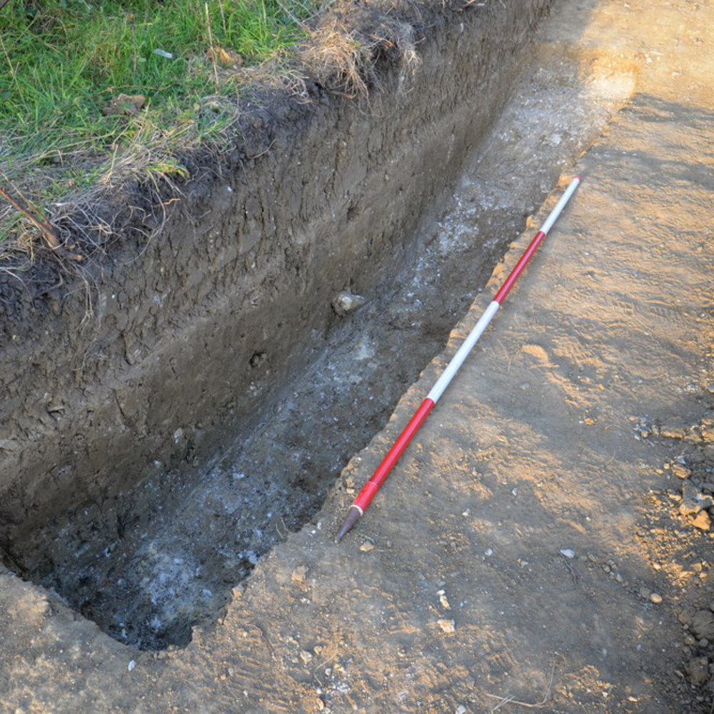
- Trench 13 was positioned at the northern boundary of the Western Area. Oriented E-W, it measured 19 x 1.80 metres. Topsoil (13001) was removed by machine to expose a layer of natural clay into which a water channel feature (F1301) was cut, continuing downslope in a NNW-SSE orientation.
3-D Models
- No models found for this item
Plan
-
Plan: LA_9
- post ex plan of trench 13 drawn at 1:20 3 sheets in total
- Ben Swain
- 23-7-2014
Section
- No records attached.
Features
-
Feature: LA_1301
- Water channel
Contexts
-
Context: LA_13001
- Topsoil Deposit
- Ben Swain
- 9-7-2014
-
Context: LA_13002

- Subsoil
- Ben Swain
- 18-7-2014
-
Context: LA_13003
- Fill of natural water channel
- Ben Bazeley
- 18-7-2014
-
Context: LA_13004
- Fill of water channel [13006]
- George Wilkins
- 18-7-2014
-
Context: LA_13005
- Fill of water channel [13006]
- George Wilkins
- 18-7-2014
-
Context: LA_13006
- Cut of water channel
- Ben Bazeley
- 18-7-2014


- DigVentures 12-12-2014