- The Earthworks Area
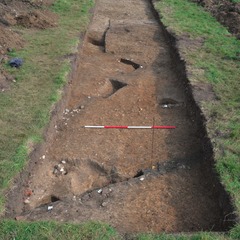
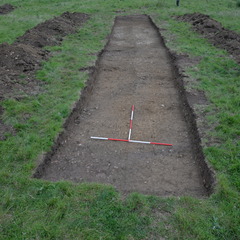
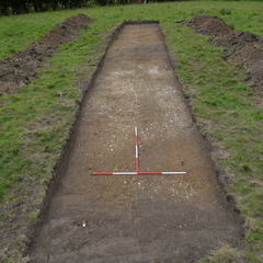
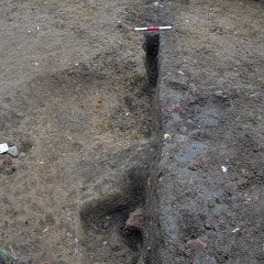
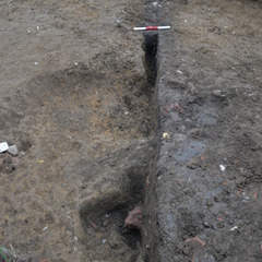
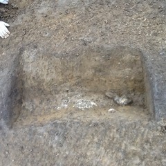
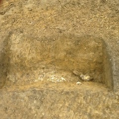
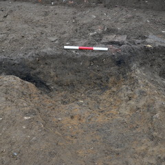
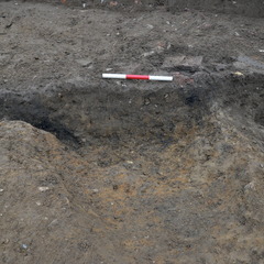
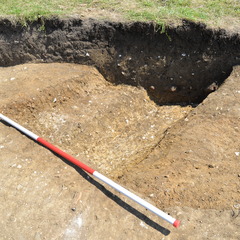
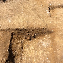
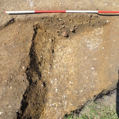
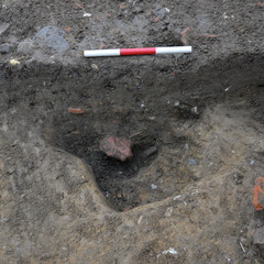
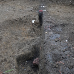
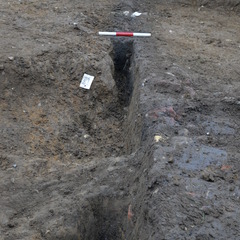
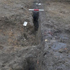
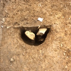
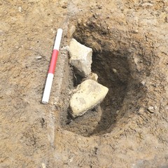
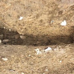
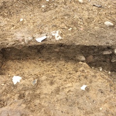
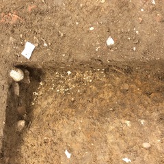
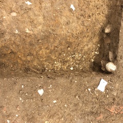
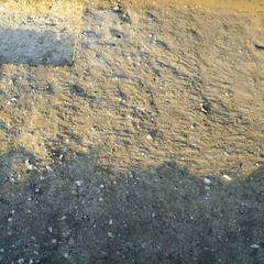
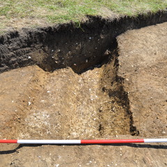
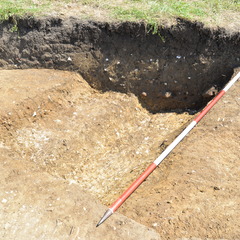
- Trench 11 was positioned in the west of the Earthworks Area on a NW-SE orientation. Measuring 20 x 4 metres, it was located on a diagonal across a defined ‘gap’ in an earthwork bank that appeared to form an entranceway onto an enclosed platform area. Topsoil (11001) was removed by machine, and was then cleaned down by hand to a natural layer into which a series of features were cut. These included a ditch and upcast bank, several intercutting gullies and pits, and a layer of chalky packing material (11022) consolidating the platform entrance way (similar in form to chalk clay layer (10024) in Trench 10).
3-D Models
Plan
-
Plan: LA_2
- Overall trench plan Drawn at 1:20 Comprises of 3 sheets
- James Earley
- 16-7-2014
Section
- No records attached.
Features
-
Feature: LA_1101
- NE - SW running gully. Terminates at SW end.
-
Feature: LA_1102
- Large ditch and bank material
-
Feature: LA_1103
- NE-SW running Gully
-
Feature: LA_1104
- Pit
-
Feature: LA_1105
- Small pit cutting [11008] and [11004] of gully [11003]
-
Feature: LA_1106
- Posthole
-
Feature: LA_1107
- Posthole cutting into F1104
Contexts
-
Context: LA_11001
-
Context: LA_11002
-
Context: LA_11003
-
Context: LA_11004
-
Context: LA_11005
-
Context: LA_11006
-
Context: LA_11007
-
Context: LA_11008
-
Context: LA_11009
-
Context: LA_11010
-
Context: LA_11011
-
Context: LA_11012
-
Context: LA_11013
-
Context: LA_11014
-
Context: LA_11015
-
Context: LA_11016
-
Context: LA_11017
-
Context: LA_11018
-
Context: LA_11019
-
Context: LA_11020
-
Context: LA_11021
-
Context: LA_11022
-
Context: LA_11023
-
Context: LA_11024
- DigVentures 12-12-2014
