- Western Approach
Photos
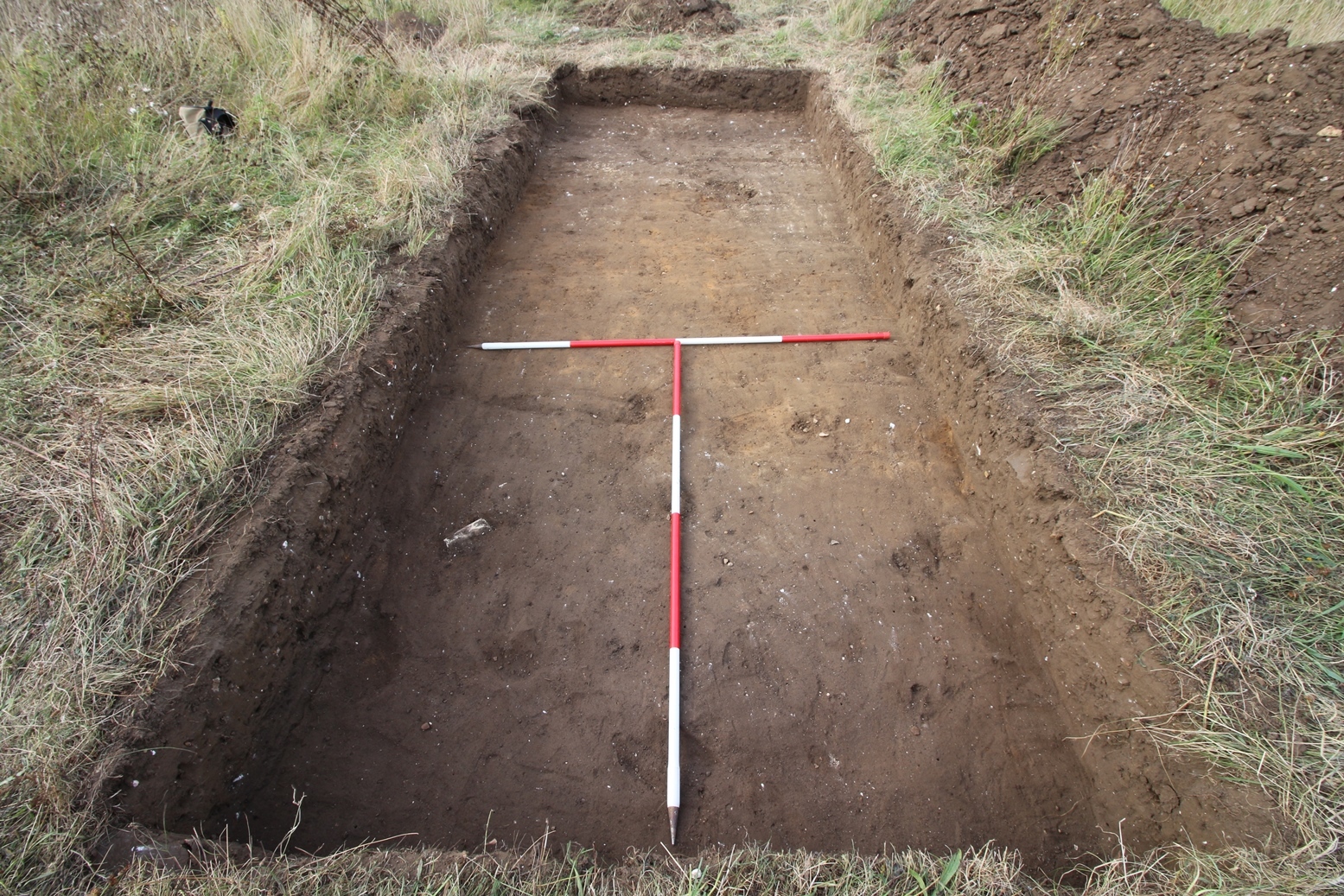
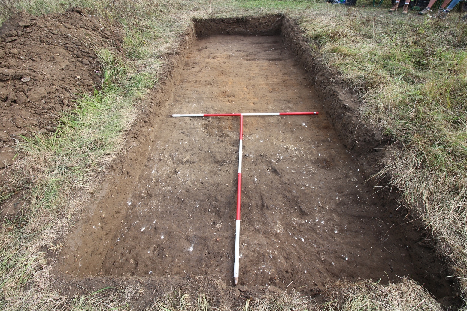
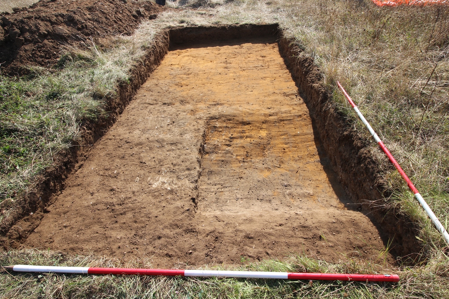

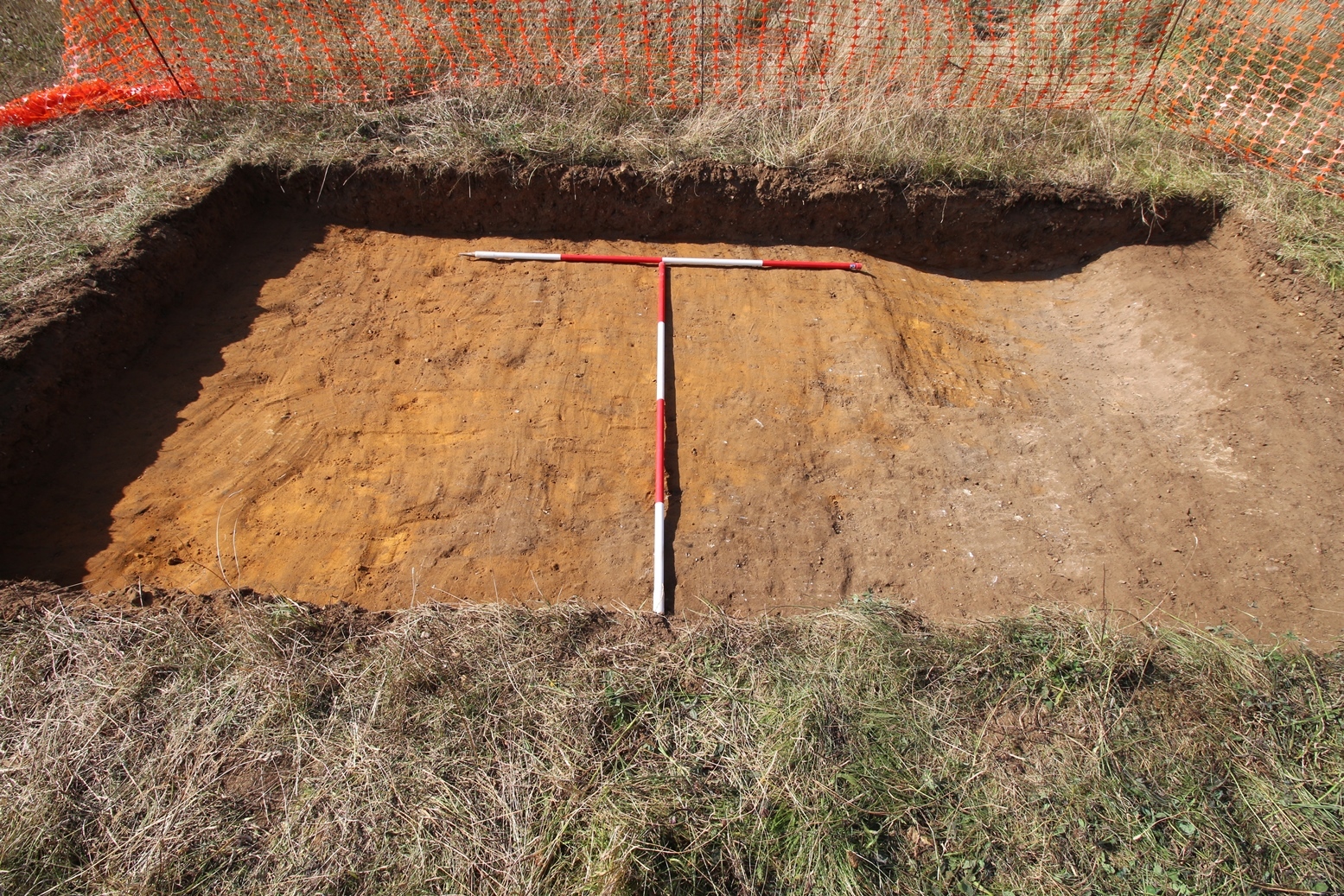
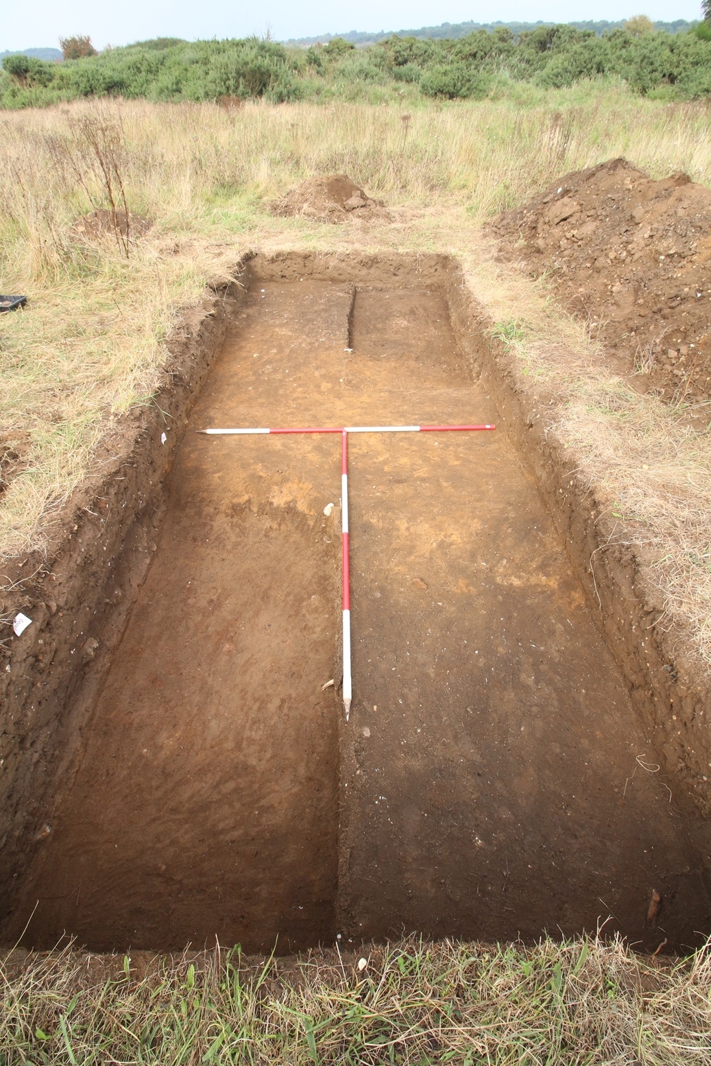
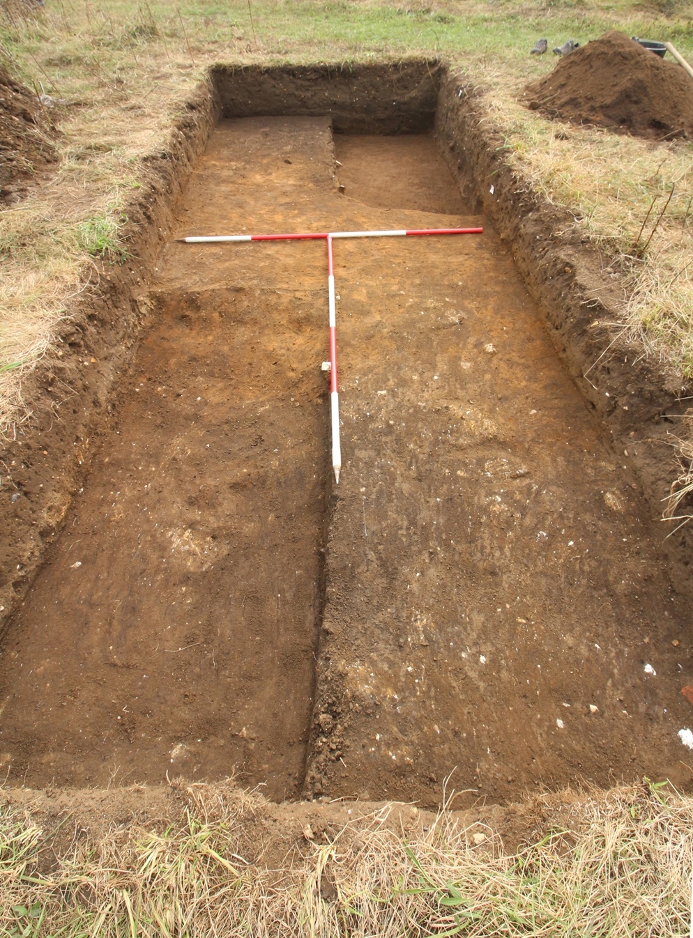
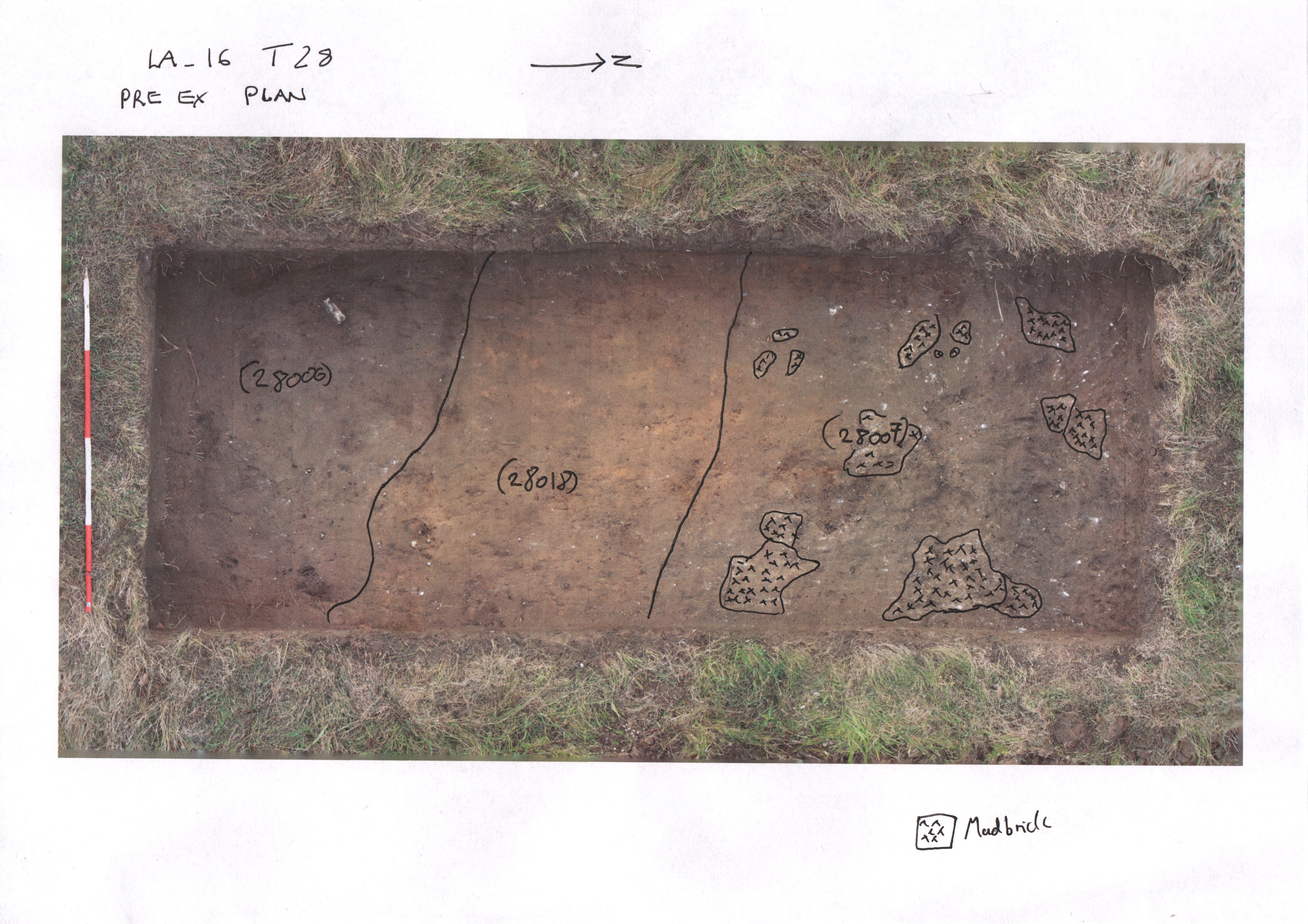

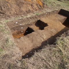
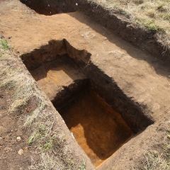
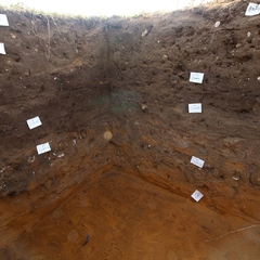
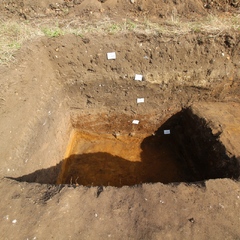
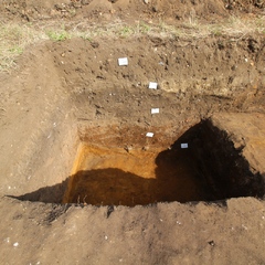
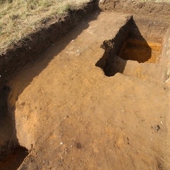
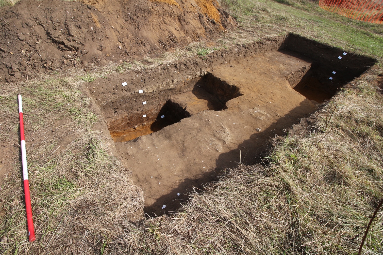
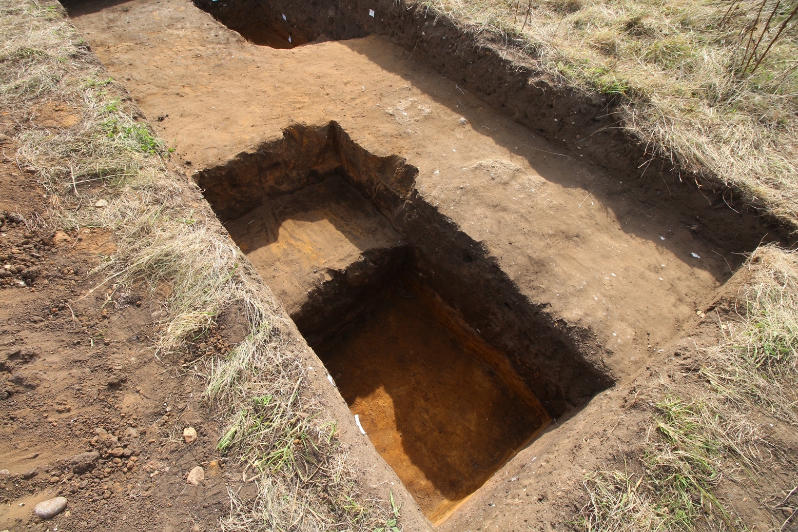
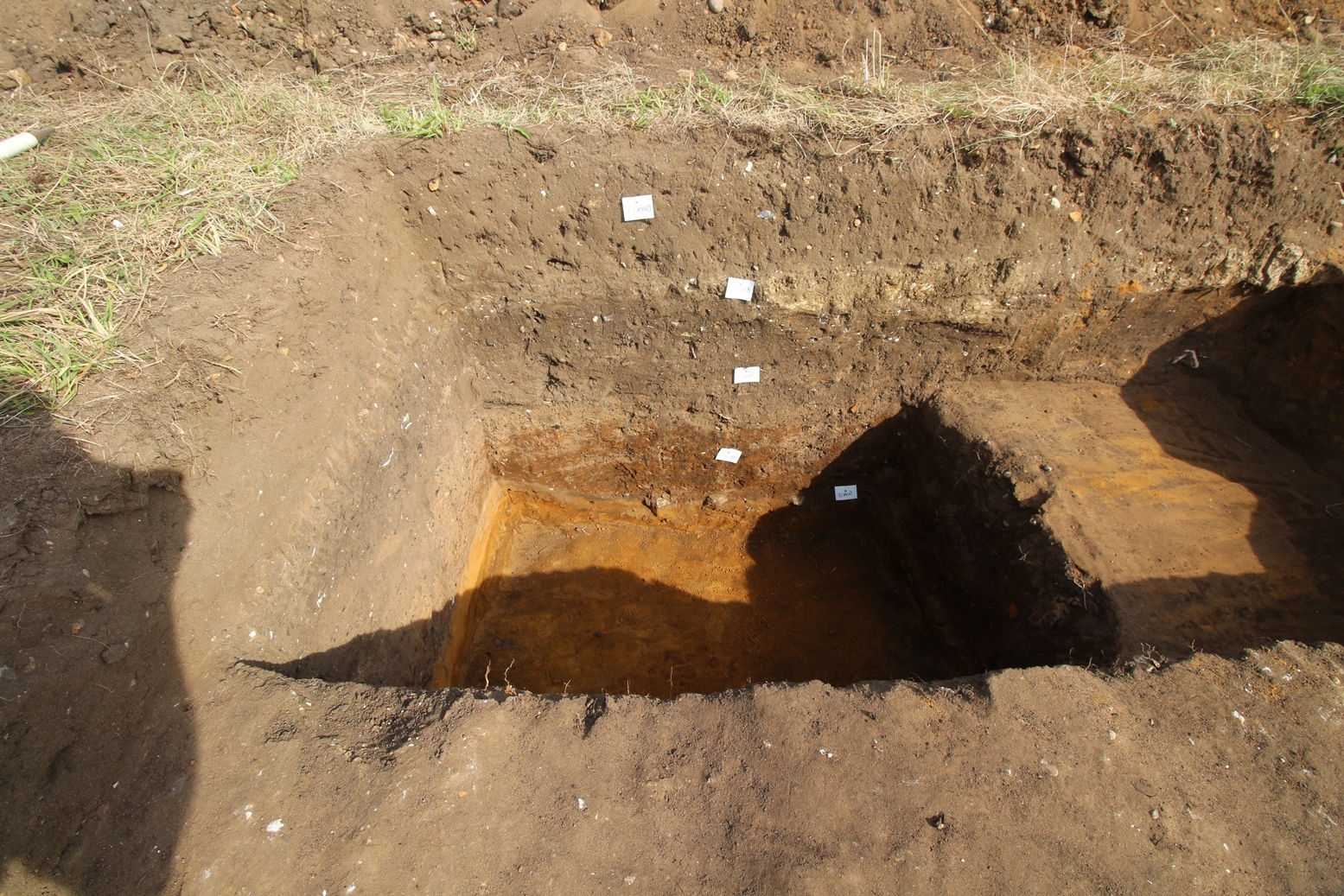
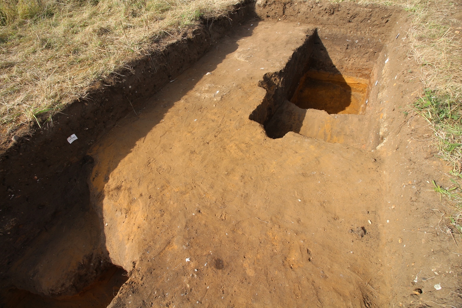
- Trench 28 measured 2m by 10m was positioned across a strongly magnetic anomaly to the north east of the standing building. This trench was bounded in its middle by a public foot path. Following the removal of topsoil by a machine it was decided that only its northern half required further excavation. This found that the magnetic anomaly represented a large depression feature F2801 filled with successive deposits containing scattered material culture which is Medieval in date. Part of this fill deposit was finally capped with scattered mudbrick stone and a firm compacted (potentially floor) surface. No modern material or any other form of evidence was found to suggest this feature related to the WW2 pill box despite the region being previously being suggested as having a relationship to the installation of a WWII building.
3-D Models
Plan
Section
Features
-
Feature: LA_2801
- Large sunken feature/pond which had been flooded before several phases of deliberate human infilling
Contexts
-
Context: LA_28001

- Topsoil
- Manda Forster
- 14-9-2016
-
Context: LA_28002

- Subsoil
- Manda Forster
- 14-9-2016
-
Context: LA_28005
- Cut of W to E linear feature, in north end of south trench
- Manda Forster
- 14-9-2016
-
Context: LA_28006

- Top fill of feature 2801
- Simon Lloyd
- 20-9-2016
-
Context: LA_28007

- Mud brick surface
- Simon Lloyd
- 20-9-2016
-
Context: LA_28008

- Lower Fill of feature 2801
- Caroline Hoyes
- 21-9-2016
-
Context: LA_28009
- Upper fill in northern section of feature 2801
- Alan Hitchcock
- 21-9-2016
-
Context: LA_28010

- A pit that cuts into natural
- Peter Palmer
- 22-9-2016
-
Context: LA_28011

- Fill of cut 28010
- Alan Hitchcock
- 22-9-2016
-
Context: LA_28012
- Natural
- Ed Caswell
- 22-9-2016
-
Context: LA_28013
- Slow accumulation layer over natural showing roots
- Ed Caswell
- 23-9-2016
-
Context: LA_28014

- Small shell midden deposit
- Ed Caswell
- 23-9-2016
-
Context: LA_28015
- Fill with flecks of charocal
- Ed Caswell
- 23-9-2016
-
Context: LA_28016
- Clayey deposit
- Ed Caswell
- 23-9-2016
-
Context: LA_28017

- Fill layer similar to 28008
- Ed Caswell
- 23-9-2016
-
Context: LA_28018
- Sandy silt fill that was considered natural but isn't
- Ed Caswell
- 23-9-2016


- Brendon Wilkins 13-9-2016