- The Earthworks Area
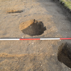
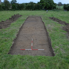
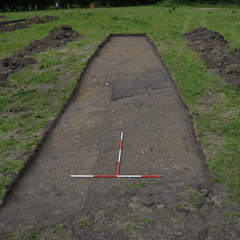
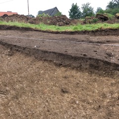
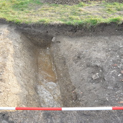
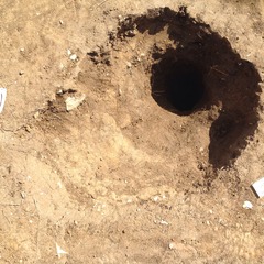
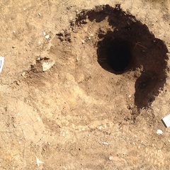
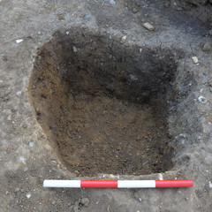
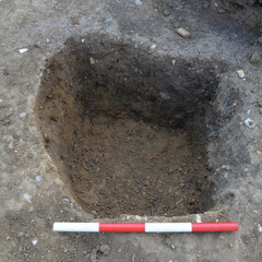
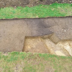
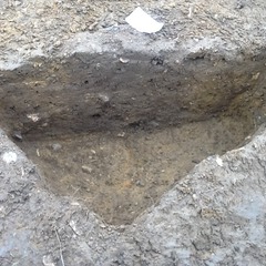
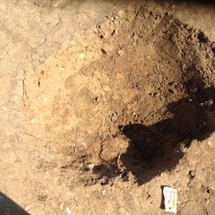
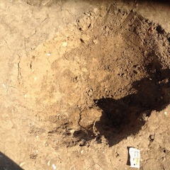
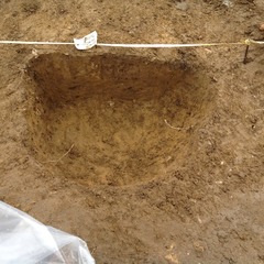
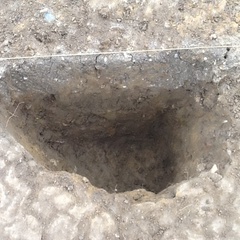
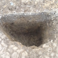
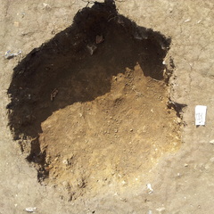
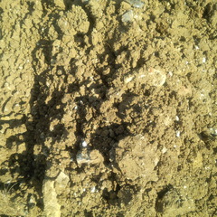
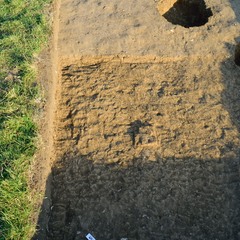
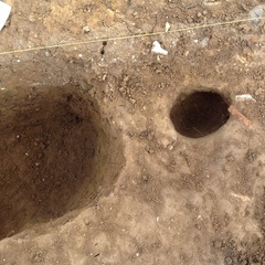
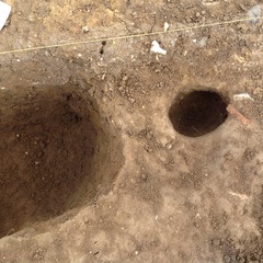
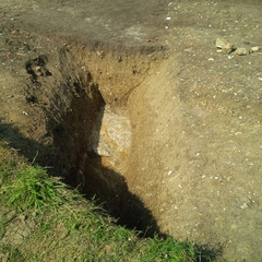
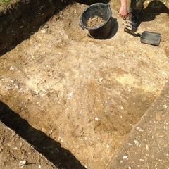
- Trench 10 was orientated NW-SE and measured 20 x 4 metres; it was positioned across both ditch and bank of a drainage feature observed running south from the Guesten Hall fishpond downslope into the north end of the field. Topsoil (10001) was removed by machine, leaving a mid-brownish grey silty clay subsoil (10002) to be removed by hand. Below this subsoil deposit a number of discrete features were identified potentially relating to two separate phases. These included a ditch feature (F1005) in the southern end of the trench, and four structural posthole features localised in the northern end of the trench.
3-D Models
Plan
-
Plan: LA_3
- Multi-context plan of trench 10. Comprises of 3 sheets and drawn at 1:20
- Raksha Dave
- 20-7-2014
Section
- No records attached.
Features
Contexts
-
Context: LA_10001
-
Context: LA_10002
-
Context: LA_10003
-
Context: LA_10004
-
Context: LA_10005
-
Context: LA_10006
-
Context: LA_10007
-
Context: LA_10008
-
Context: LA_10009
-
Context: LA_10010
-
Context: LA_10013
-
Context: LA_10014
-
Context: LA_10015
-
Context: LA_10016
-
Context: LA_10017
-
Context: LA_10018
-
Context: LA_10019
-
Context: LA_10020
-
Context: LA_10021
-
Context: LA_10022
-
Context: LA_10023
-
Context: LA_10024
- DigVentures 12-12-2014
