Contexts at Leiston Abbey

Explore the open archaeological data from our digs at Leiston Abbey

  • <<
  • LA
  • (26004)
  • Layer
  • >>
Short Description:
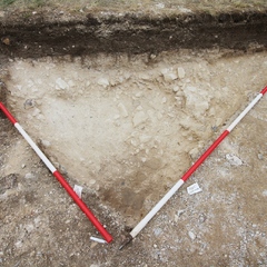
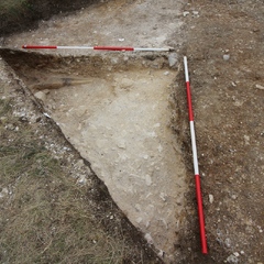
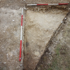
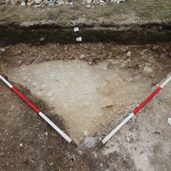
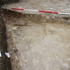
Floor surface or causeway/ ditch backfill of cut [26009]
Issued to
1900

Interpretation

    • Makeup for a floor surface possibly a corridor
      • Raksha Dave
    • 18-9-2016
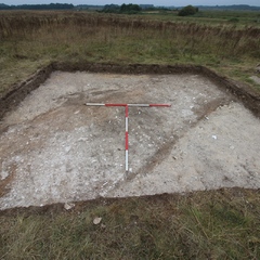
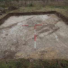
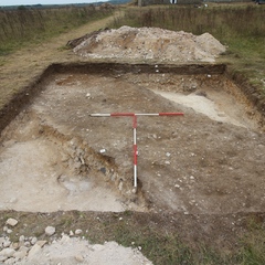
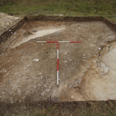
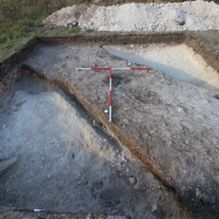
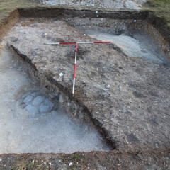
    • Internal pathway or corridor running SE-NW. Upper surfaces are robbed away so no tile or surface in situ but rather a makeup surface beaten down with gravel and chalk render
      • Raksha Dave
    • 23-9-2016
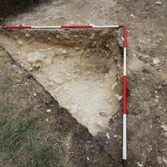
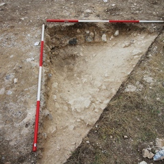
    • Excavation of surface within sondage showed that remainder of the drainage ditch cut [26004] was backfilled by the gravel surface to create a causeway. Utilising an existing feature in the landscape and backfilling for another land-use.
      • Raksha Dave
    • 26-9-2016

Sketch Photo

  • file_image
  • file_image
  • file_image

Stratigraphic Matrix

  • Equal To

    No Linked Records

Description

  • Firm to moderate
  • Mid grey brown mottled with white
  • Sandy silt with chalk
  • Small sub rounded pebbles, Flint cobbles, cbm frags, shell frags
  • Length - 3.60m Width- 2.00m Depth- 0.52m
  •  
  • Mattock and shovel in dry and hot weather!

Finds

FindtypeQuantity (No. fragments)Weight (g)Notes
Animal Bone 1 3
Ceramic Building Material 6 855 Tile
Shell 1 23 Oyster
Ceramic Building Material 58 4000 Tile (discarded)

Feature

  • Feature: LA_2601
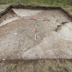
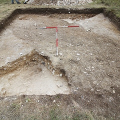
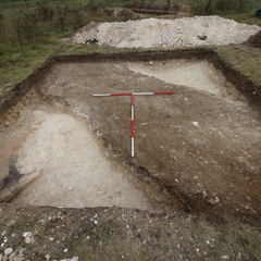
    • Drainage ditch and bank which was later adapted into a causeway. The ditch is one of the latest phases on site that truncates earlier deposits in trench 26 including the demolition phase of the abbey.

Site Photos

  • Photo: LA_163410
    • file_image
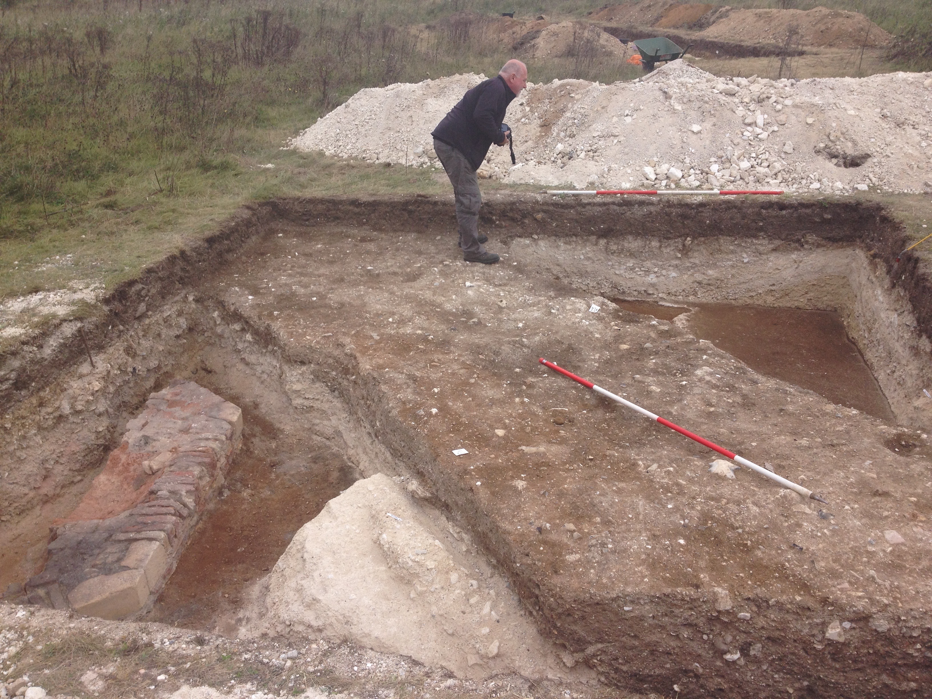
    • Trench 26 mid-excavation, facing West
  • Photo: LA_163411
    • file_image
    • Trench 26 mid-excavation, facing East
  • Photo: LA_163728
    • file_image
    • Trench 26 demolition layer, facing South East
  • Photo: LA_163729
    • file_image
    • Trench 26 demolition layer, facing South West
  • Photo: LA_163730
    • file_image
    • Trench 26 demolition layer, facing North
  • Photo: LA_163731
    • file_image
    • Trench 26 demolition layer, facing South West
  • Photo: LA_163732
    • file_image
    • Trench 26 demolition layer, facing South East
  • Photo: LA_163733
    • file_image
    • Trench 26 demolition layer, facing North
  • Photo: LA_163734
    • file_image
    • Trench 26 demolition layer, facing South East
  • Photo: LA_163735
    • file_image
    • Trench 26, facing West
  • Photo: LA_163736
    • file_image
    • Trench 26, facing South
  • Photo: LA_163992
    • file_image
    • Trench 26 facing North
  • Photo: LA_163993
    • file_image
    • Trench 26 facing South
  • Photo: LA_163994
    • file_image
    • Trench 26 facing East
  • Photo: LA_163995
    • file_image
    • Trench 26 facing West
  • Photo: LA_164012
    • file_image
    • Trench 26 facing North
  • Photo: LA_164013
    • file_image
    • Trench 26 facing South

Plan

  • Plan: LA_37
    • Multi-context plan of Trench 26
    • Lisa Westcott Wilkins
    • 16-9-2016
  • Plan: LA_40
    • Mid excavation plan of trench 26
    • Raksha Dave
    • 23-9-2016
  • Plan: LA_41
    • Post ex plan of trench 26
    • Thom Winterburn
    • 25-9-2016
  • Plan: LA_41
    • Post ex plan of trench 26
    • Thom Winterburn
    • 25-9-2016

Objects

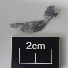
  • Find: LA_128
    • file_image
    • Window lead
    • Lead
  • Find: LA_147
    • Ferrous object
    • Iron

Record Details

  • on/off_switch
CLOSE