- Trench 3
Photos
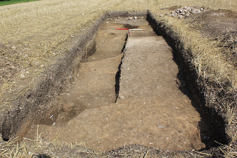
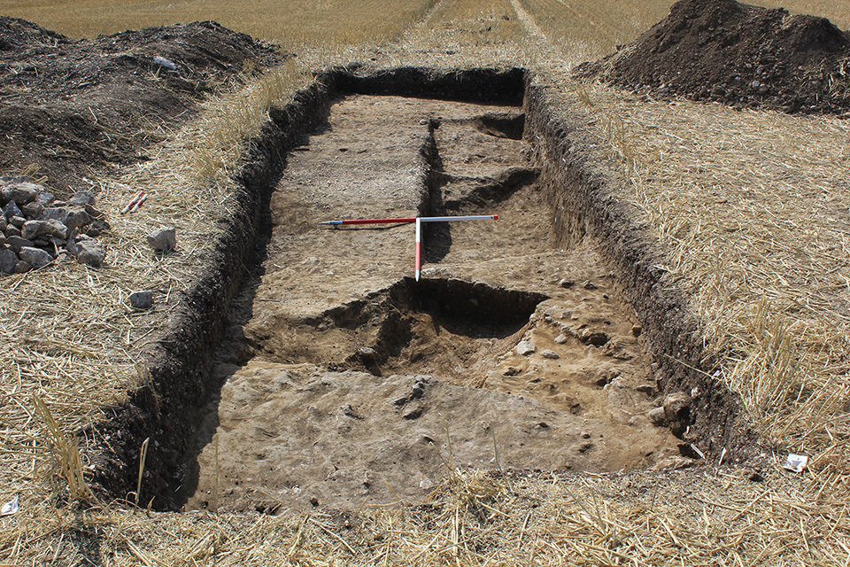
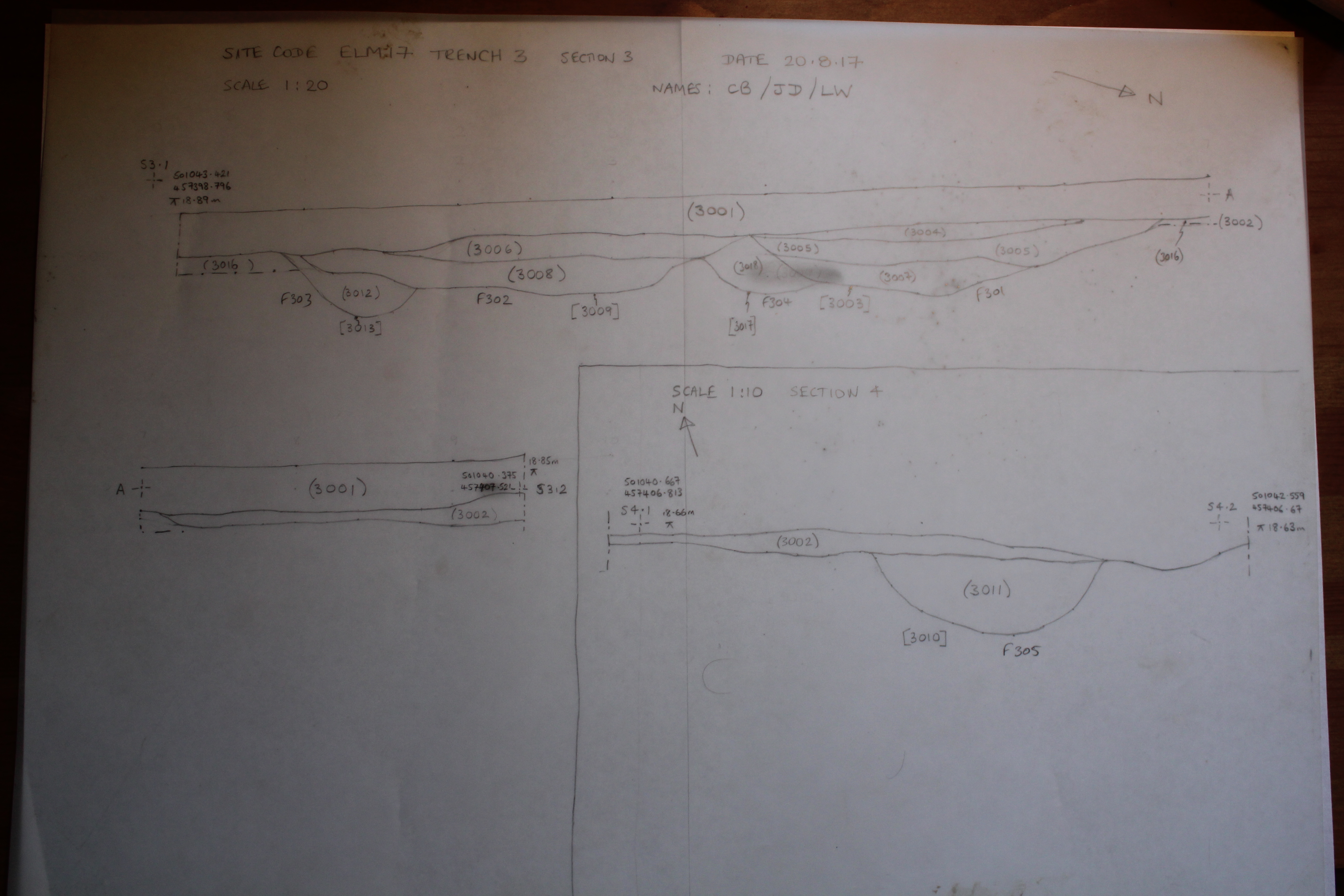
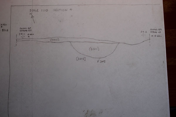
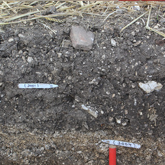
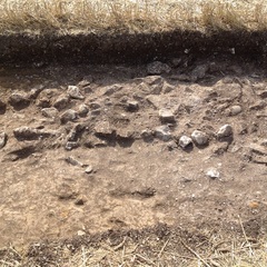
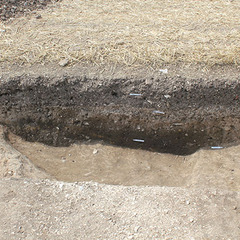
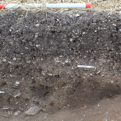
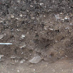
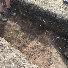
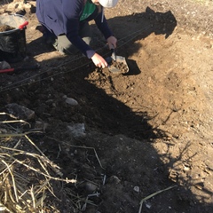
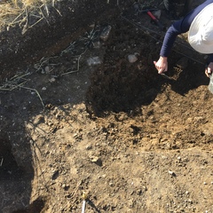
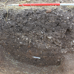
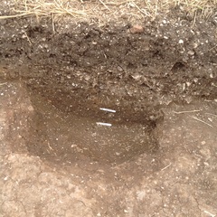
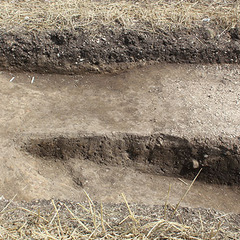
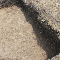
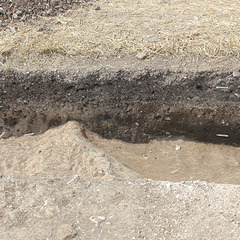
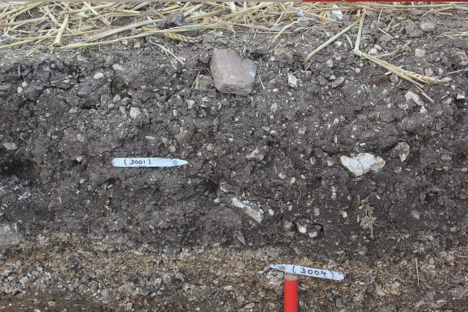
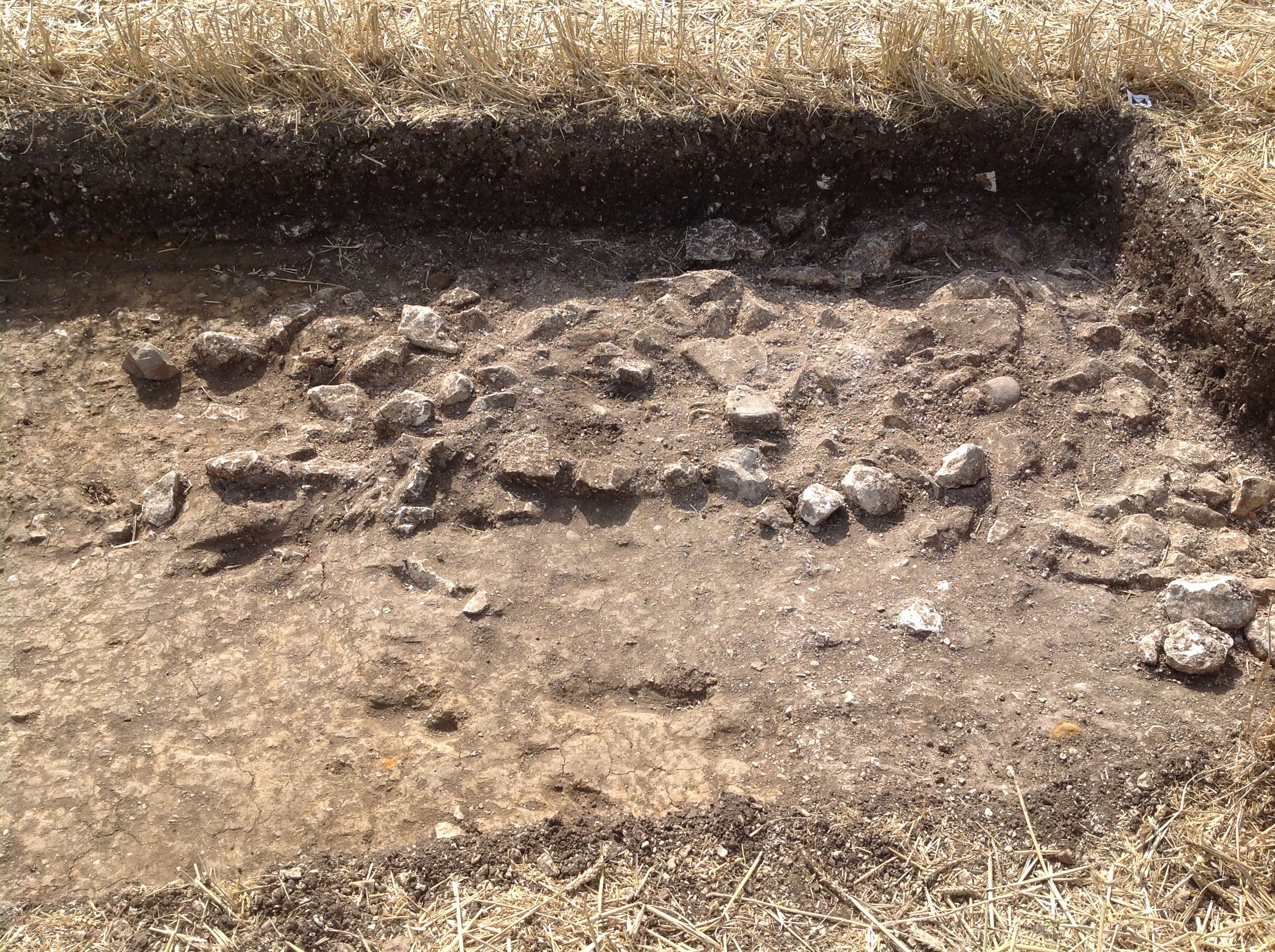
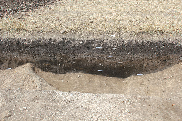
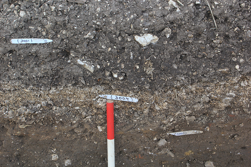
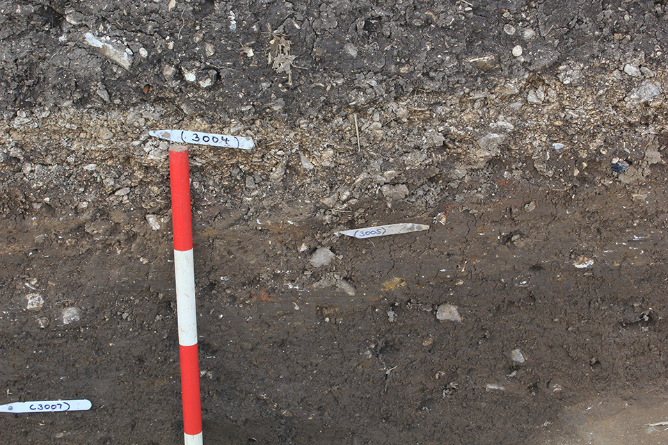
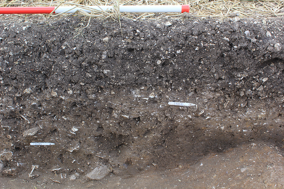
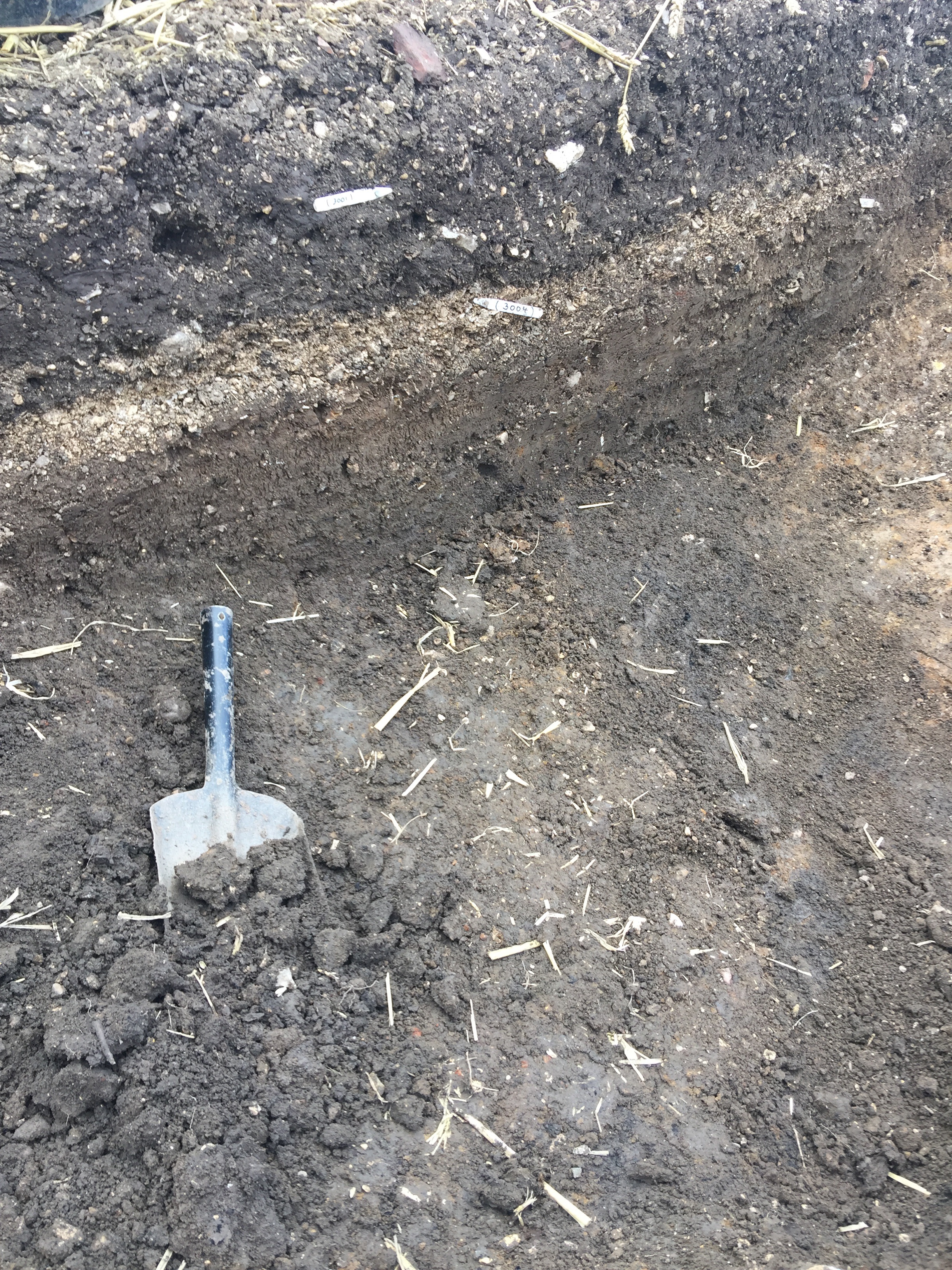
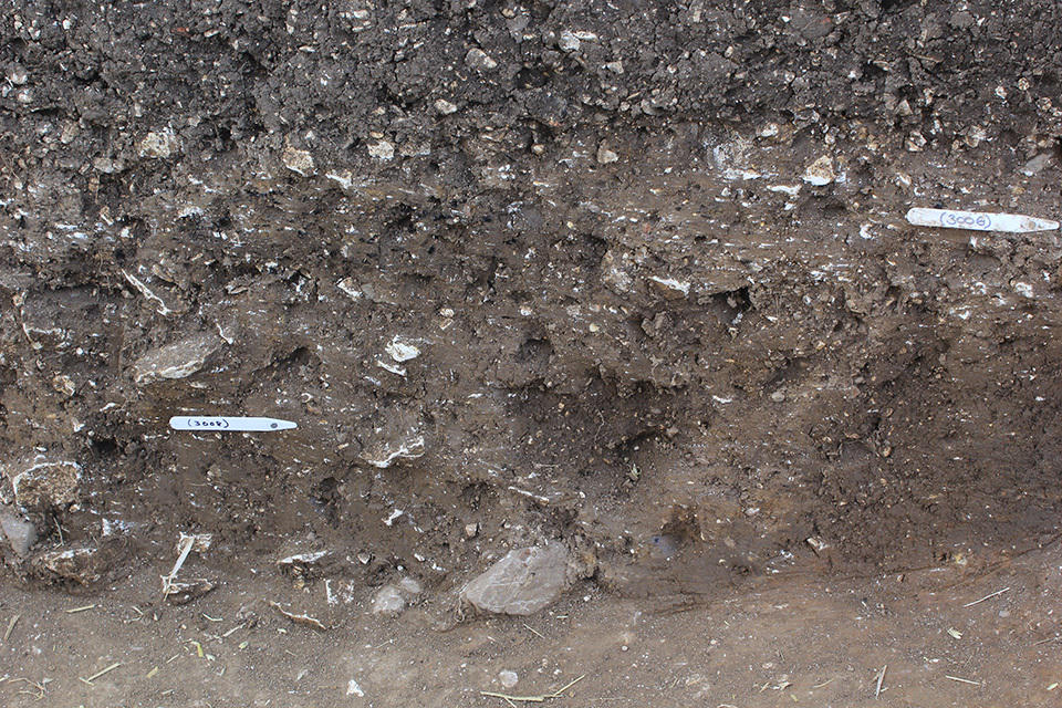
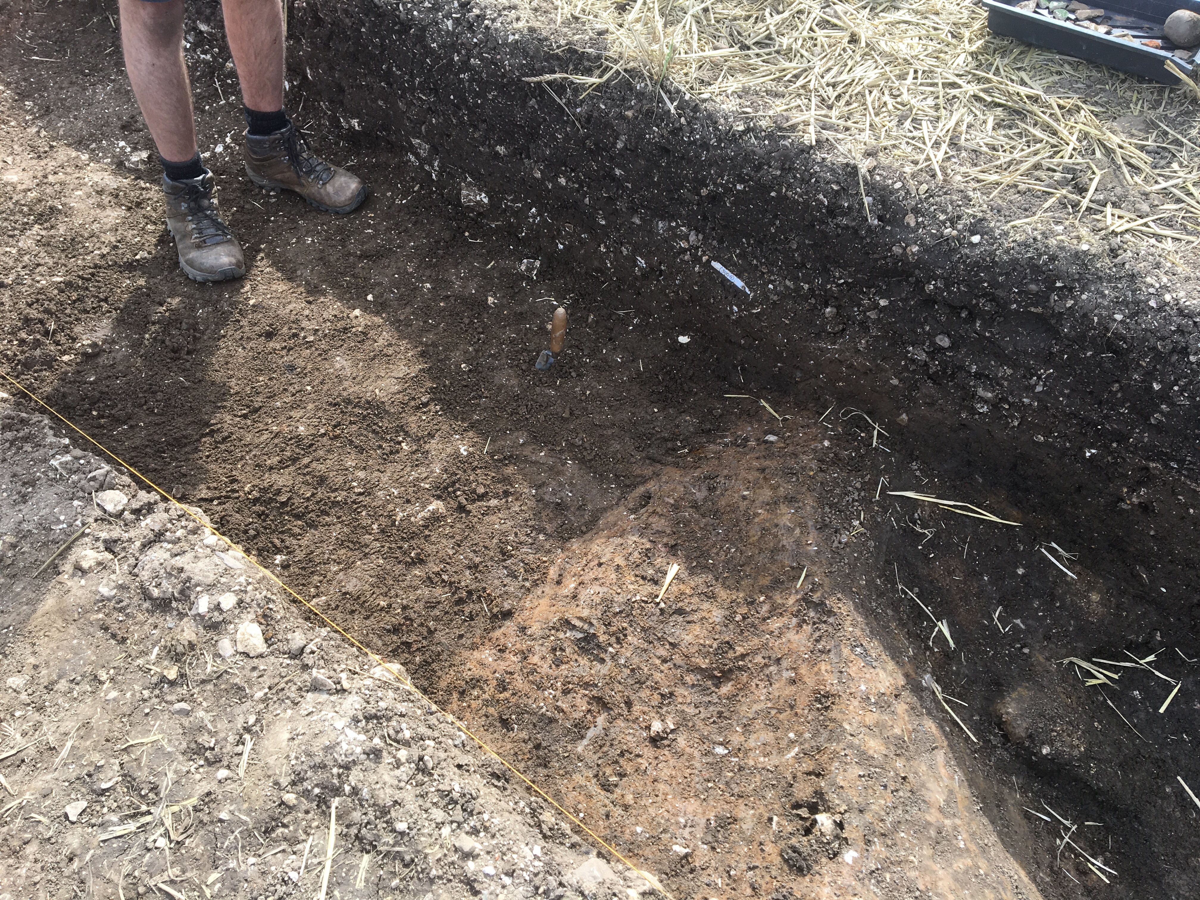
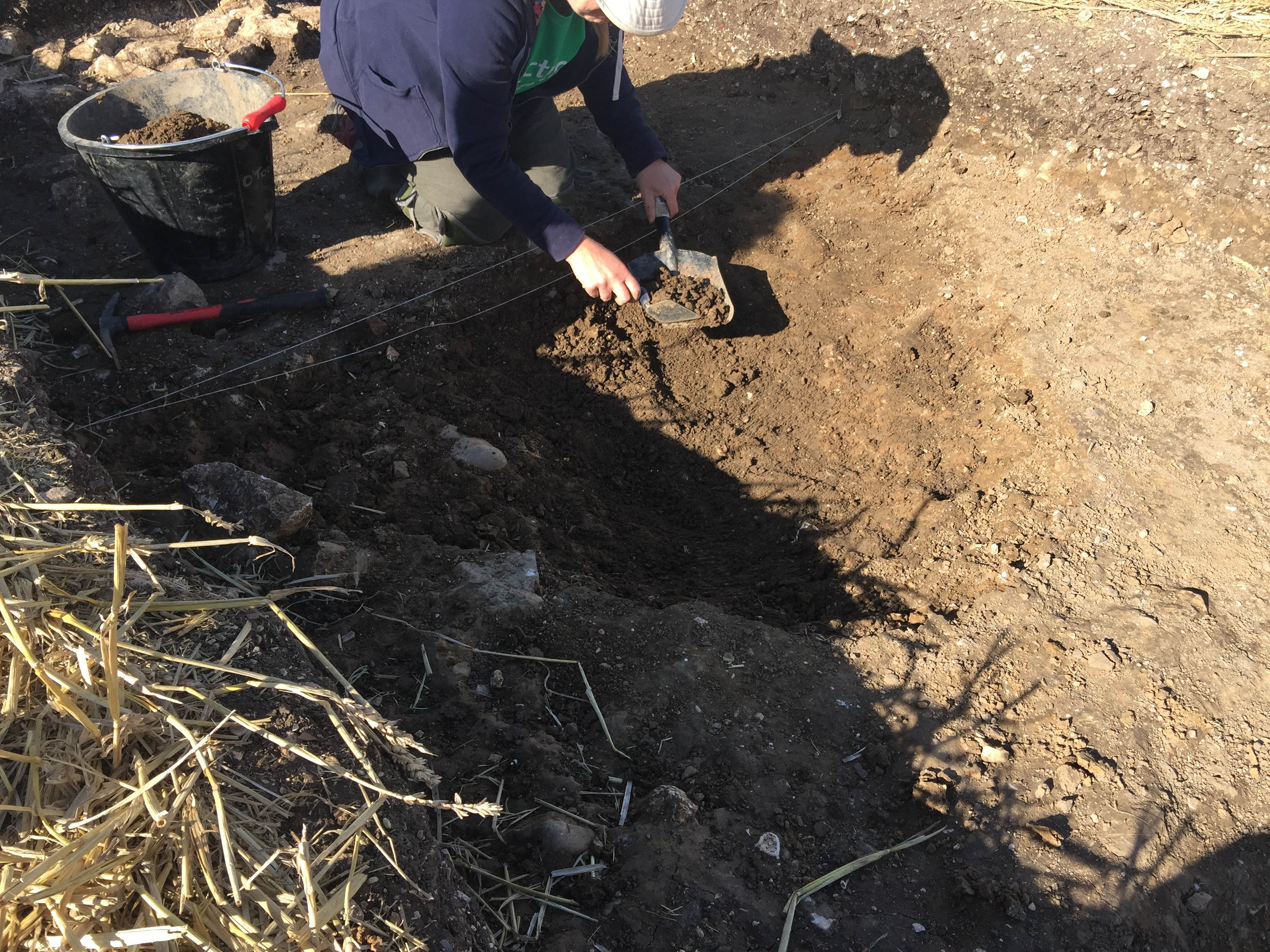
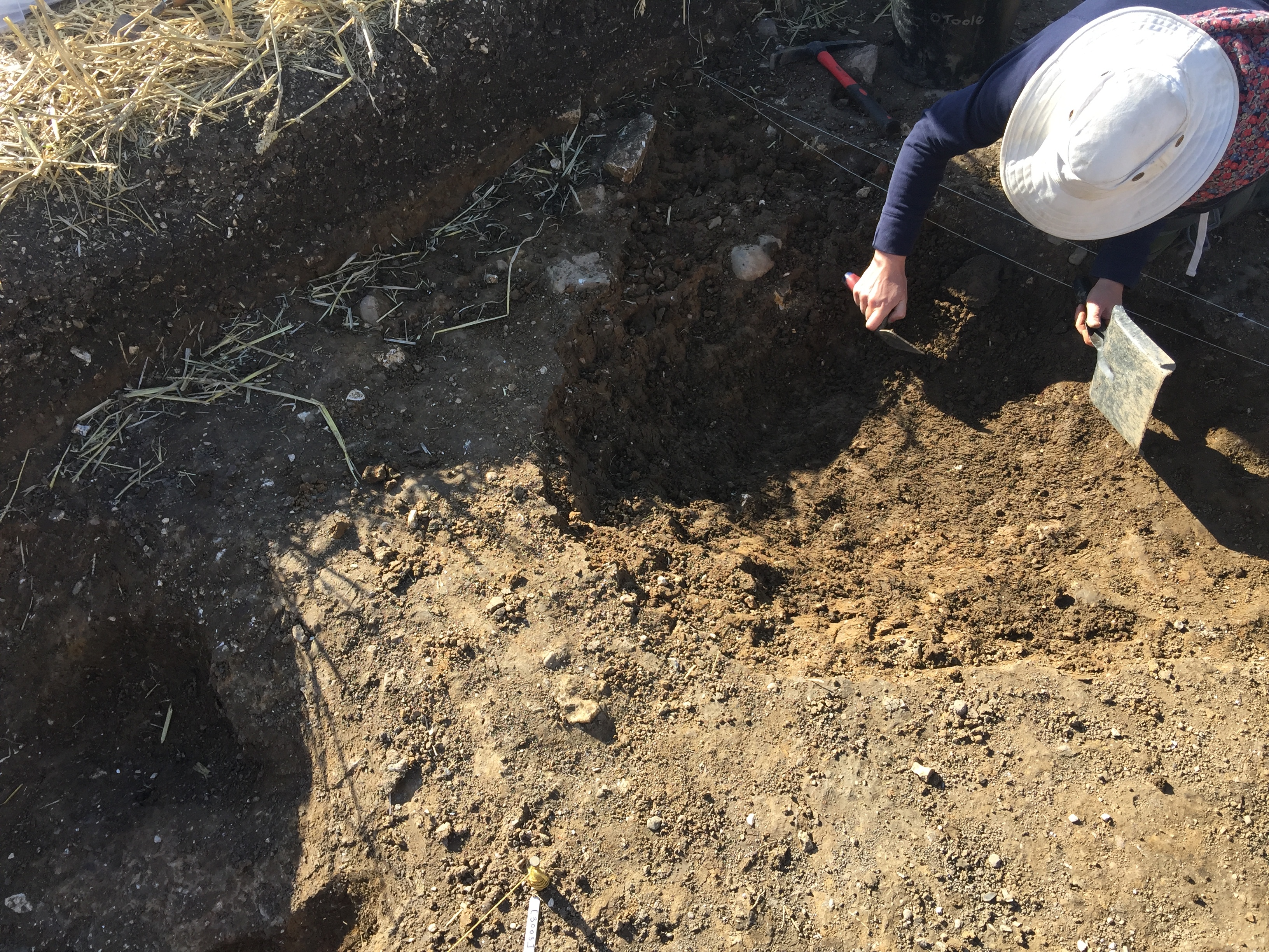
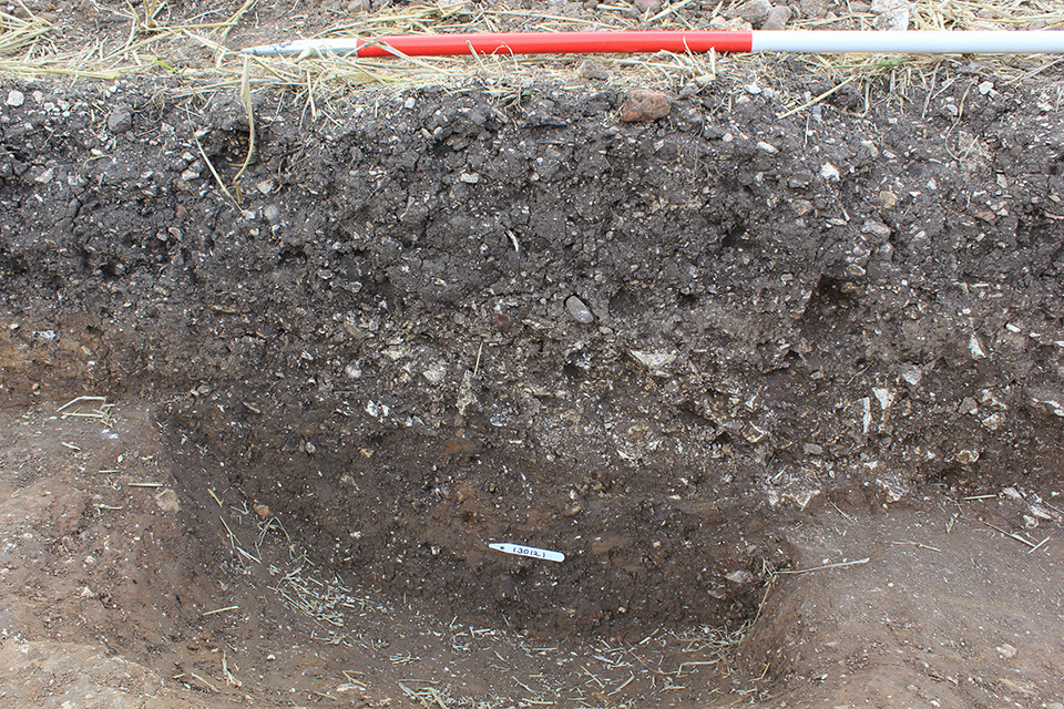
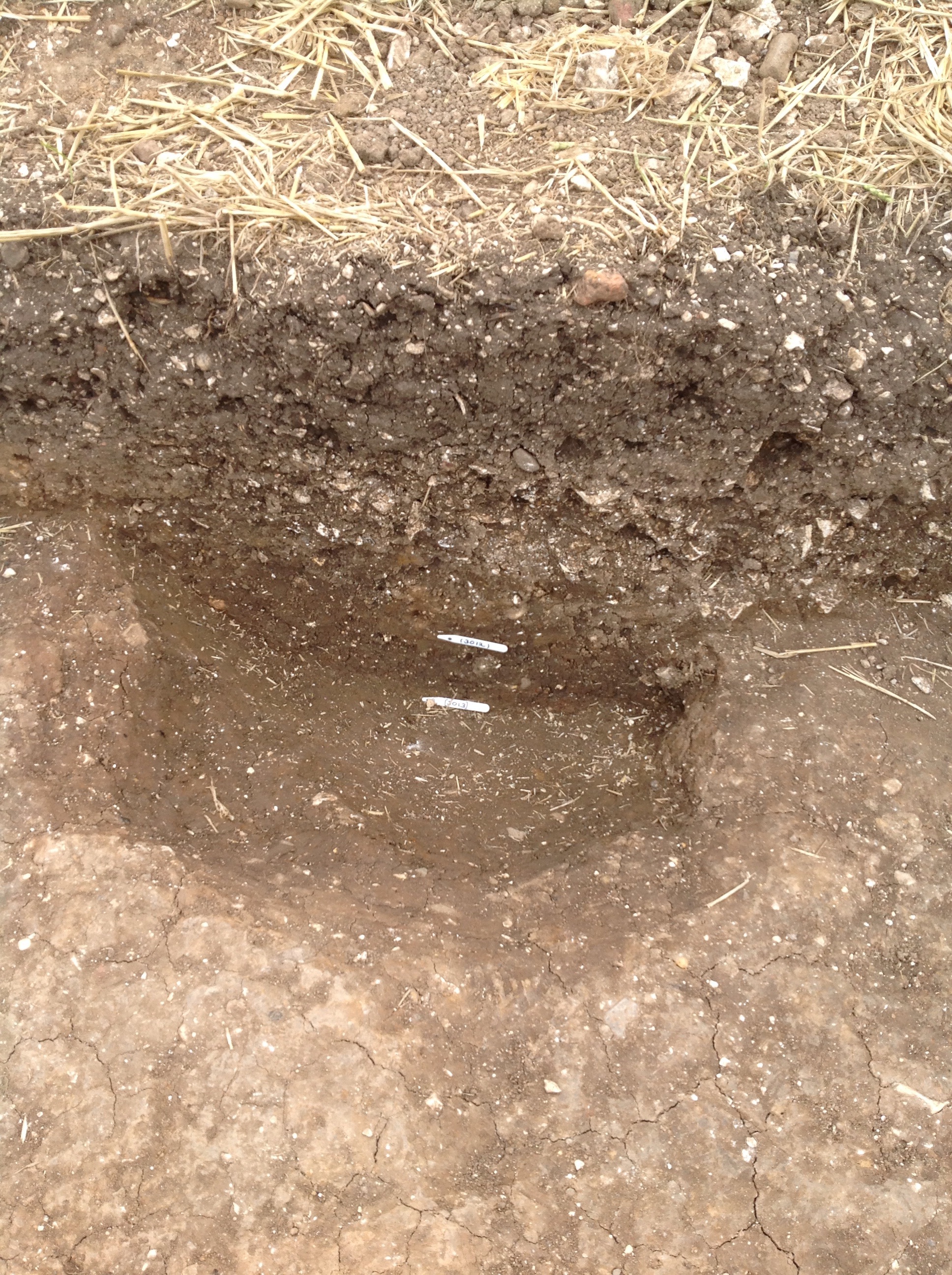
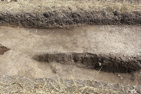
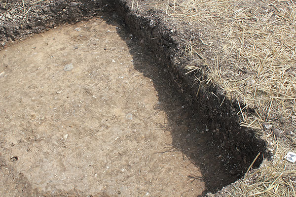
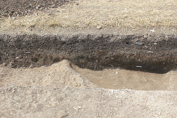
- Trench 3 measured 10m x 2m and targeted a linear cropmark identified from aerial photographs and LiDAR data. It was excavated by machine to remove the ploughsoil, revealing a number of features; no subsoil was found between it and the clay superficial geology (3016). In total, six archaeological features were recorded: three ditches, one possible continuation of a ditch, and two pits. The earliest feature investigated in Trench 3 was a straight linear ditch F305 at the northern end of the trench, aligned north to south. The cut [3010] had steep sloping sides and was filled by a light clayey silt (3011) that contained pottery – mostly sandy and chalky wares – dating to between the late 11th and early 13th century. However, one sherd Torksey-type ware dating to the 9th to early/mid 11th century, and two sherds of early/mid 13th to early 14th century pottery were also identified. It is most probable that the early sherd is residual from disturbed archaeological features nearby, and that the later sherds are intrusive from the later ditch F301 cutting it at its southern end or from the overlying chalk rubble layer (3002) to the north. A single fragment of undecorated medieval floor tile and an assemblage of 26 fragments of animal bone were also found in the ditch, containing cattle, pig, horse and goose bones. There is a suggestion that this ditch would have continued to the south, evidenced by the presence of an undated feature F304 recorded against the western edge of the trench. These two features may well be two parts of the same feature, with the southern element representing a turn in its direction to the west. In the southwest corner of the trench was a pit or possible eastern terminal end of a ditch F303. It had been heavily disturbed by the later, medieval ditch to the north, and its fill (3012) proved to be void of artefactual remains. Two large parallel ditches F301 and F302 crossed the centre of the trench from east to west with no apparent stratigraphic relationship visible within the excavation area. The northern ditch F301 had a 2.2m wide cut [3003] with gradual sloping sides to a depth of 0.37m below the base of the ploughsoil. It contained within it three distinct fills: a dark grey basal deposit (3007); a brown fill (3005) above it with chalk and flint inclusions; and a final chalk gravel upper fill (3004) that appeared to have a convex shape in the trench section. This latest fill appeared as a 1.4m wide gravel spread across the trench, possibly deliberately placed in the depression left by the partially filled ditch to establish firmer, more consolidated ground. In total, 102 sherds of pottery were recovered from the ditch, the vast majority from Staxton/Potter-Brampton hollow ware vessels, securely dating the feature to the early/mid 13th to early 14th century. A small number of chalky, sandy and gritty wares were also found, some dating to as early as the late 11th century. These 11th century fragments are likely to be residual and perhaps relate to the ditch it truncates to the north F305 where sherds of a similar type were found. A sub-circular shaped feature [3015] F306 was found cutting this ditch on its north side against the eastern edge of the excavation. Its fill (3014) was only partially excavated to recover dating evidence, which was found in the form of a mixed assemblage of nine sherds of early/mid 13th to early 14th century pottery. To the south another ditch F302 was recorded with almost identical dimensions. At its base was a brown clayey sand fill (3008), which was overlain by a similar fill with considerably more stone and chalk inclusions (3006). In total, 49 sherds of pottery were recovered from this feature, which mostly date to the early/mid 13th to early 14th century, with some slightly earlier wares considered residual as was a medieval chalk spindle whorl SF23. At the northern end of the trench, sealing the top of the early ditch F305, was a layer of poorly-sorted, large angular chalk stones directly beneath the ploughsoil (3002). The presence of two large sherds of Humberware pottery, dating to between the late 13th to 15th century, suggests this layer formed after the ditches had filled. The general lack of similar stones from across the site suggest that these are likely to represent demolition rubble or abandonment debris from a nearby structure.
3-D Models
Plan
-
Plan: ELM_3
- Post-excavation plan of Trench 3
- Paul Reed
- 20-8-2017
Section
Features
Contexts
-
Context: ELM_3001
- Topsoil
- Chris Brown
- 16-8-2017
-
Context: ELM_3002
- Chalk stones at north end of trench
- Chris Brown
- 16-8-2017
-
Context: ELM_3003
- East to west ditch
- Rick Barnett
- 16-8-2017
-
Context: ELM_3004
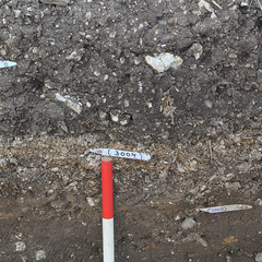
- Chalk gravel upper fill of ditch
- Rick Barnett
- 16-8-2017
-
Context: ELM_3005
- Mid brown fill of ditch below (3004)
- Rick Barnett
- 16-8-2017
-
Context: ELM_3006
- Stony fill of ditch below (3004) on south side
- Chris Brown
- 16-8-2017
-
Context: ELM_3007
- Lower ditch fill
- Chris Brown
- 18-8-2017
-
Context: ELM_3008
- Fill of ditch
- Maiya Pina-Dacier
- 18-8-2017
-
Context: ELM_3009
- Cut of ditch
- Maiya Pina-Dacier
- 18-8-2017
-
Context: ELM_3010
- Cut of ditch at north end of trench
- Rosie O'Toole
- 18-8-2017
-
Context: ELM_3011
- Fill of ditch running north-south
- Hannah O'Toole
- 18-8-2017
-
Context: ELM_3012
- Fill of ditch or possible pit
- Maiya Pina-Dacier
- 18-8-2017
-
Context: ELM_3013
- Cut of ditch or possible pit
- Maiya Pina-Dacier
- 18-8-2017
-
Context: ELM_3014

- Fill of possible pit against eastern trench edge
- Jacqui Shaw
- 19-8-2017
-
Context: ELM_3015
- Cut of possible pit against eastern trench edge
- Jacqui Shaw
- 20-8-2017
-
Context: ELM_3016
- Natural
- Chris Casswell
- 24-8-2017
-
Context: ELM_3017
- Pit cut by south side of [3003]
- Chris Casswell
- 24-8-2017
-
Context: ELM_3018

- Fill of pit cut by south side of [3003]
- Chris Casswell
- 24-8-2017


- Brendon Wilkins 18-8-2017