Scan
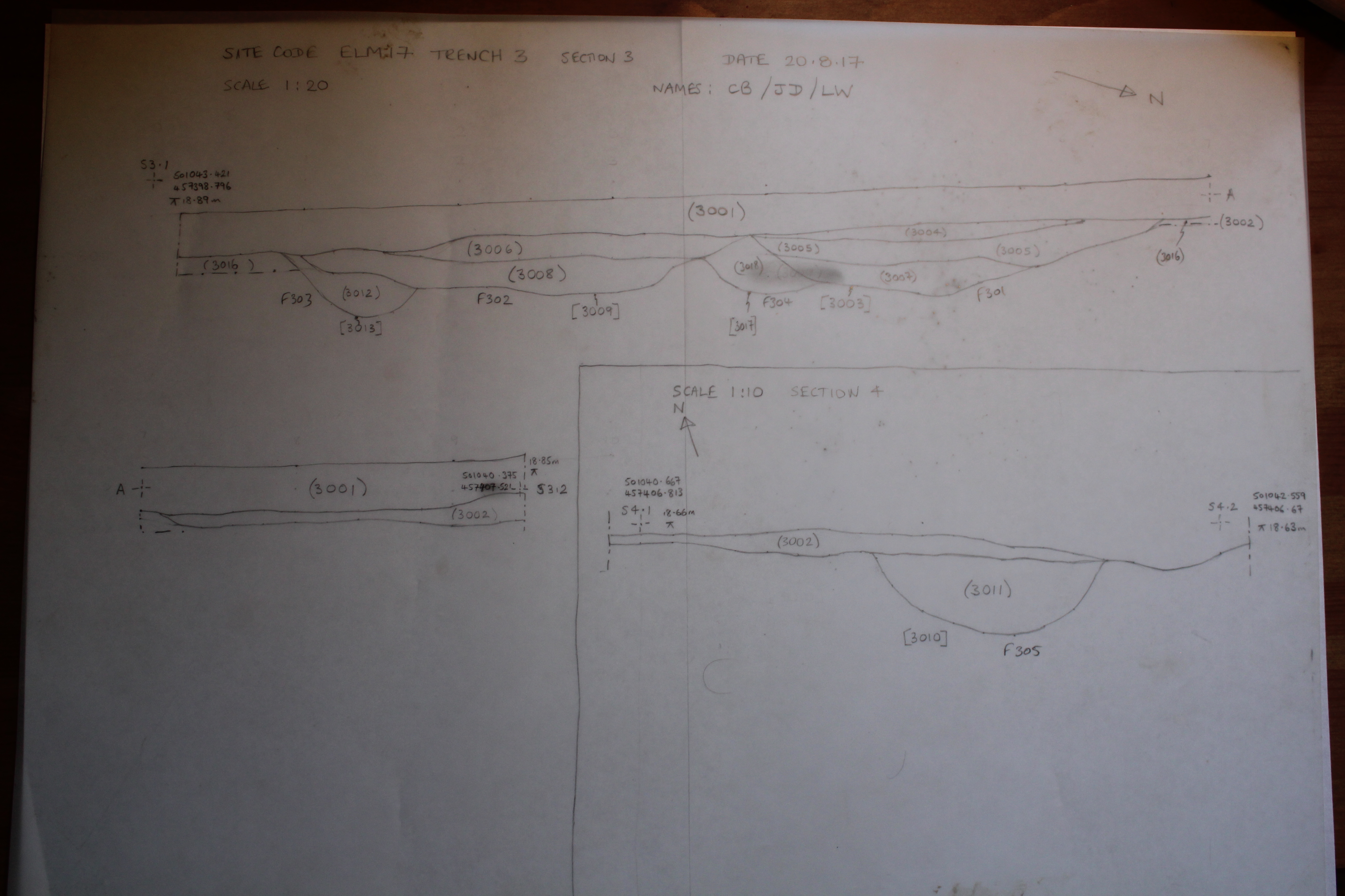
Description
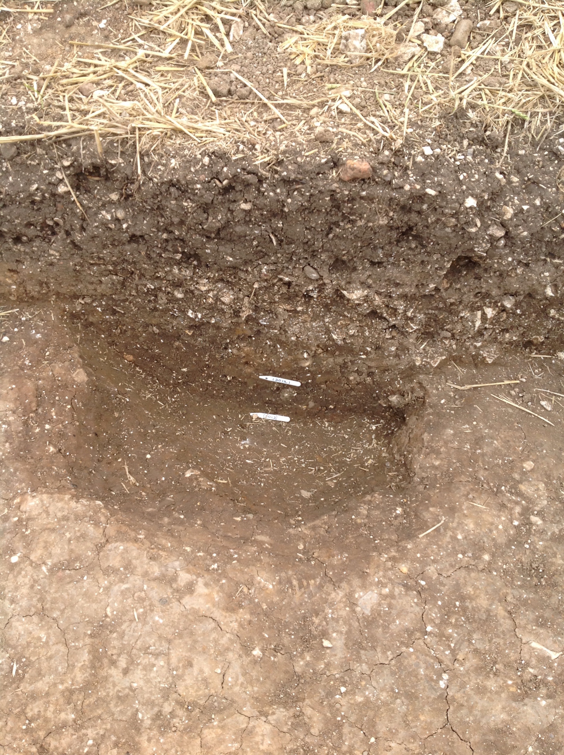
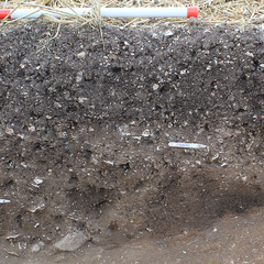
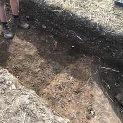
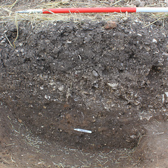
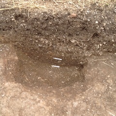
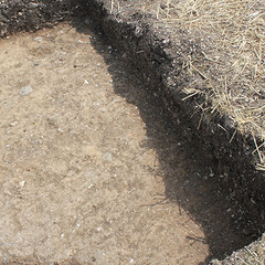
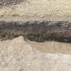
- Trench 3 east facing baulk section
- Chris Brown 20-8-2017
Levels
- 18.85m
Contexts
-
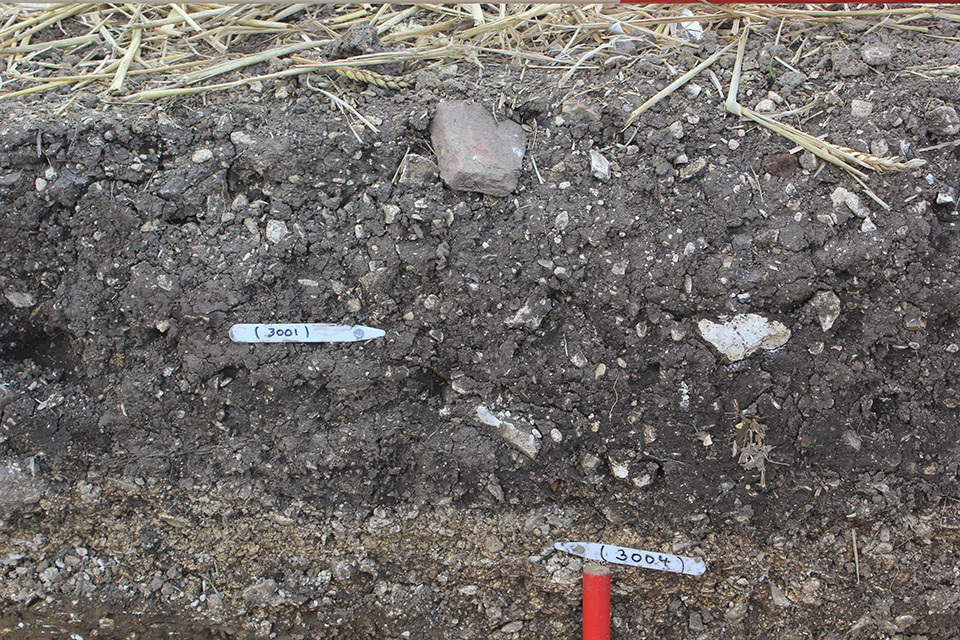
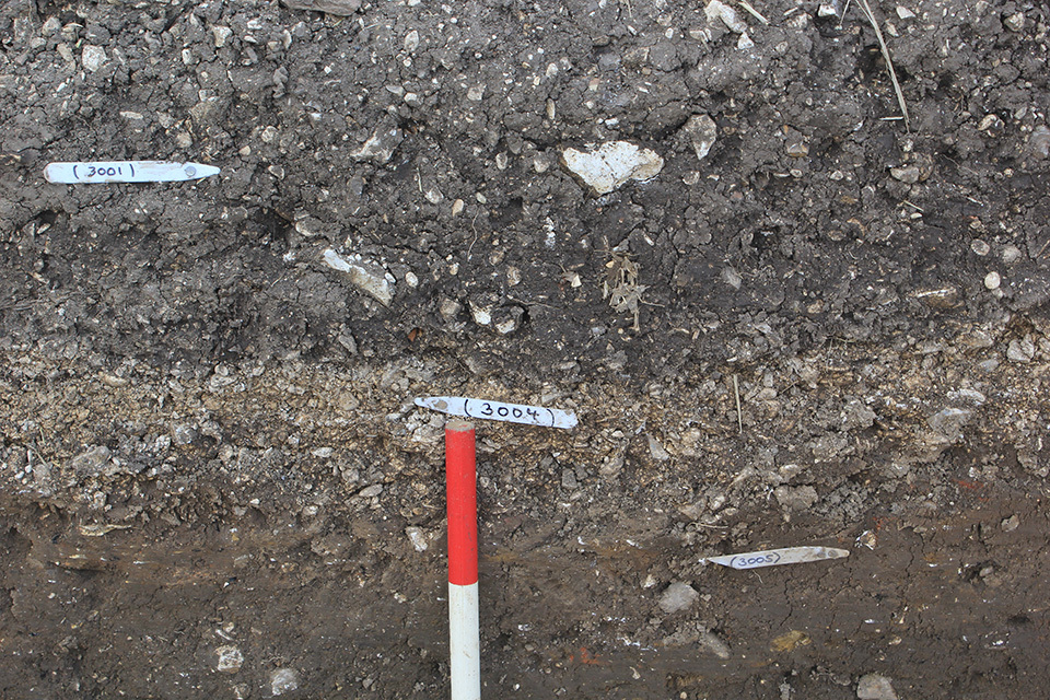
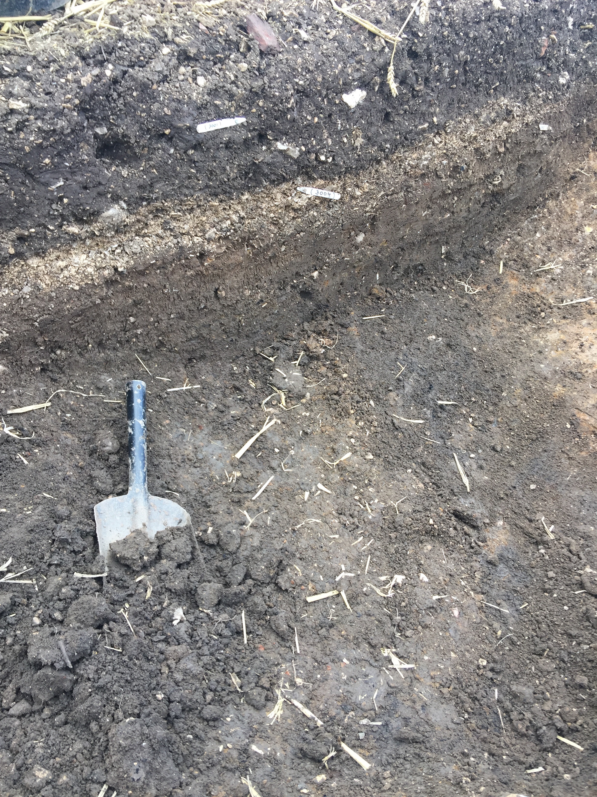
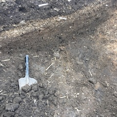
Context: ELM_3001
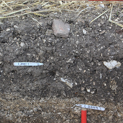
- Topsoil
- Chris Brown
- 16-8-2017
-
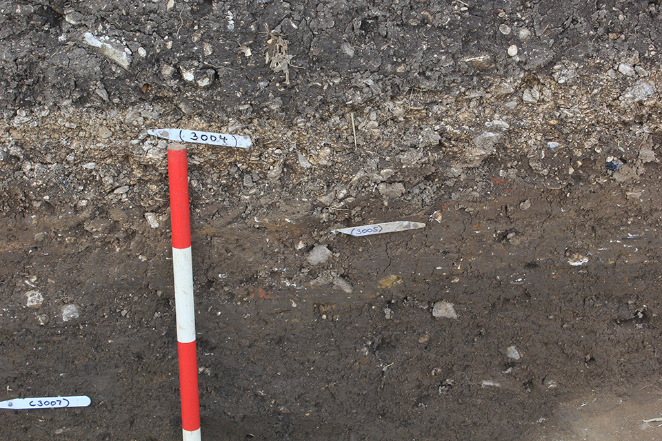
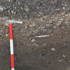
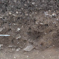
Context: ELM_3004
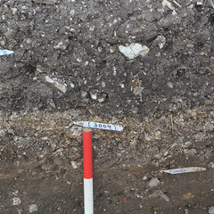
- Chalk gravel upper fill of ditch
- Rick Barnett
- 16-8-2017
-
Context: ELM_3005
- Mid brown fill of ditch below (3004)
- Rick Barnett
- 16-8-2017
-
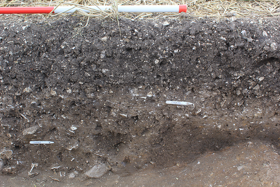
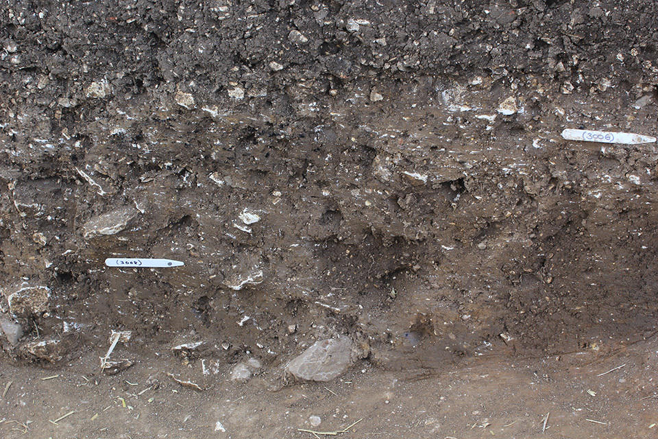
Context: ELM_3006
- Stony fill of ditch below (3004) on south side
- Chris Brown
- 16-8-2017
-
Context: ELM_3007
- Lower ditch fill
- Chris Brown
- 18-8-2017
-
Context: ELM_3008
- Fill of ditch
- Maiya Pina-Dacier
- 18-8-2017
-
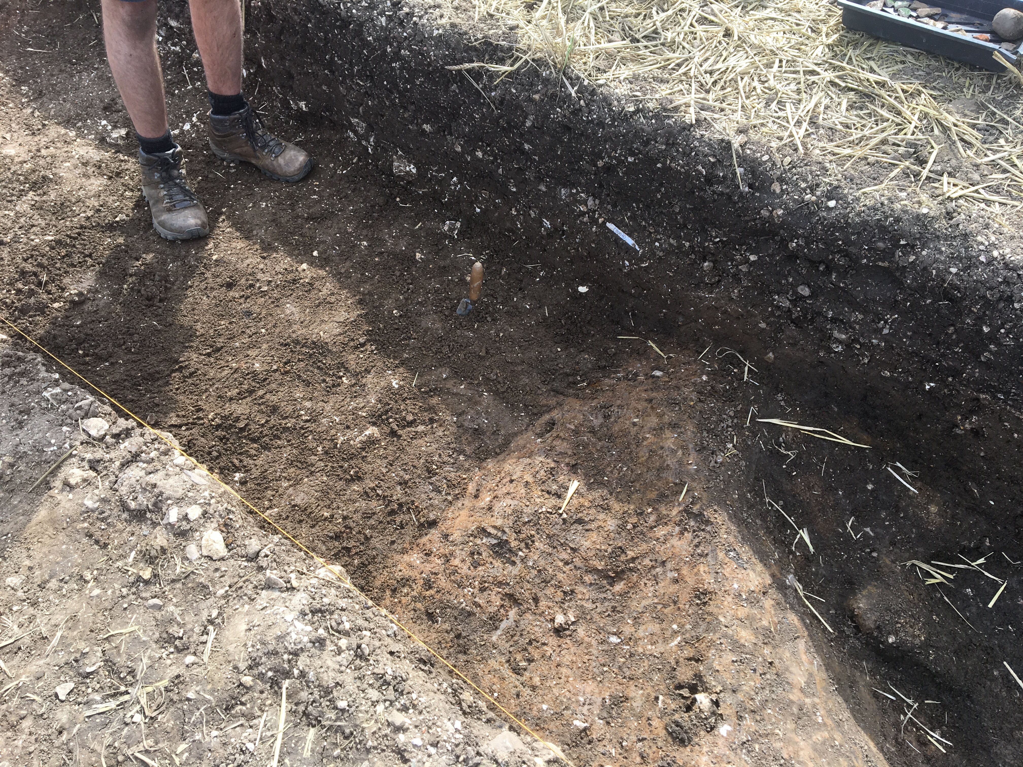
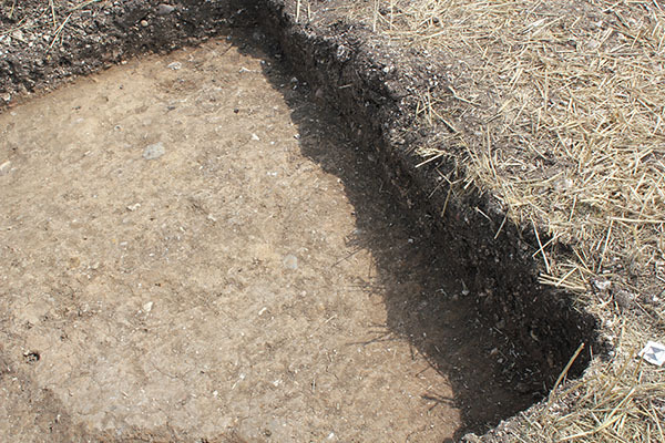
Context: ELM_3009
- Cut of ditch
- Maiya Pina-Dacier
- 18-8-2017
-
Context: ELM_3012
- Fill of ditch or possible pit
- Maiya Pina-Dacier
- 18-8-2017
-
Context: ELM_3013
- Cut of ditch or possible pit
- Maiya Pina-Dacier
- 18-8-2017
-
Context: ELM_3016
- Natural
- Chris Casswell
- 24-8-2017
-
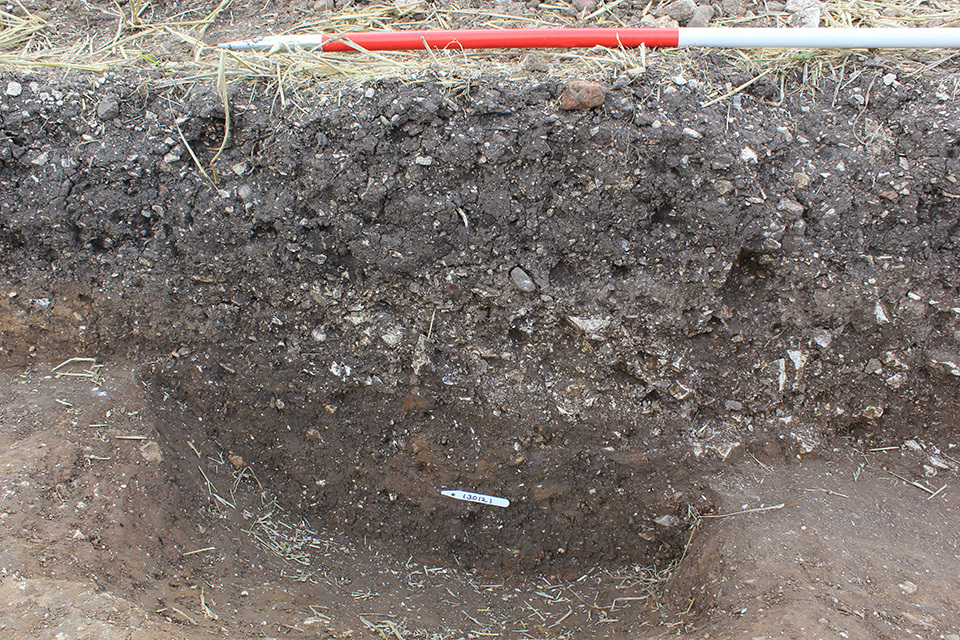
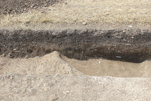
Context: ELM_3017
- Pit cut by south side of [3003]
- Chris Casswell
- 24-8-2017
-
Context: ELM_3018

- Fill of pit cut by south side of [3003]
- Chris Casswell
- 24-8-2017