Short Description:
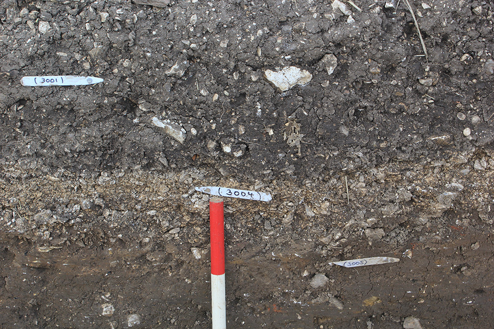
Chalk gravel upper fill of ditch
Issued to
Rick Barnett | 16/08/2017
Interpretation
-
- Compact upper fill of ditch, possibly placed to consolidate ground over soft ditch fills
-
- Chris Casswell
- 29-8-2017
Sketch Photo
Description
- Firm
- Greyish white
- Chalk gravel with silty sand
- 90% chalk pea-gravel and 10% angular flint
- Length – 2.20m Width – 1.40m Depth – 0.10m
- Surface appears convex in section
- Trowel, hand shovel and mattock in dry and bright conditions
Finds
Feature
-
Feature: ELM_301
- Boundary ditch aligned east to west
Site Photos
-
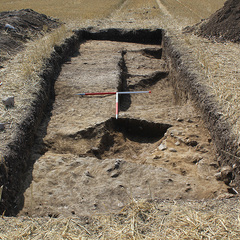
Photo: ELM_176686
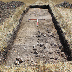
- Trench 3, pre-ex., looking south, 1m scales
-
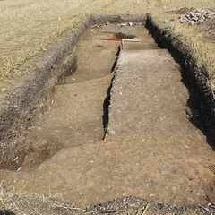
Photo: ELM_176688
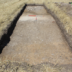
- Trench 3, pre-ex., looking north, 1m scales
-
Photo: ELM_176720
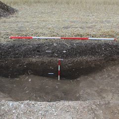
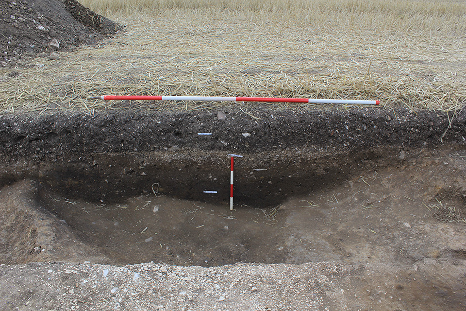
- East facing section of ditches [3003] and [3017] , looking west, 2m and 0.4m scales
-
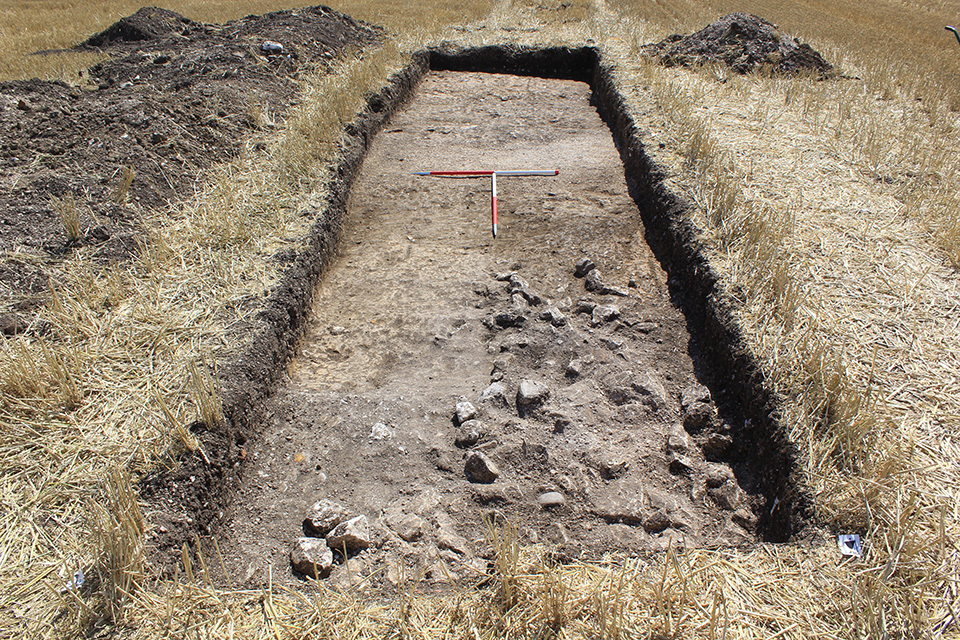
Photo: ELM_176754
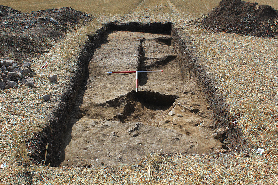
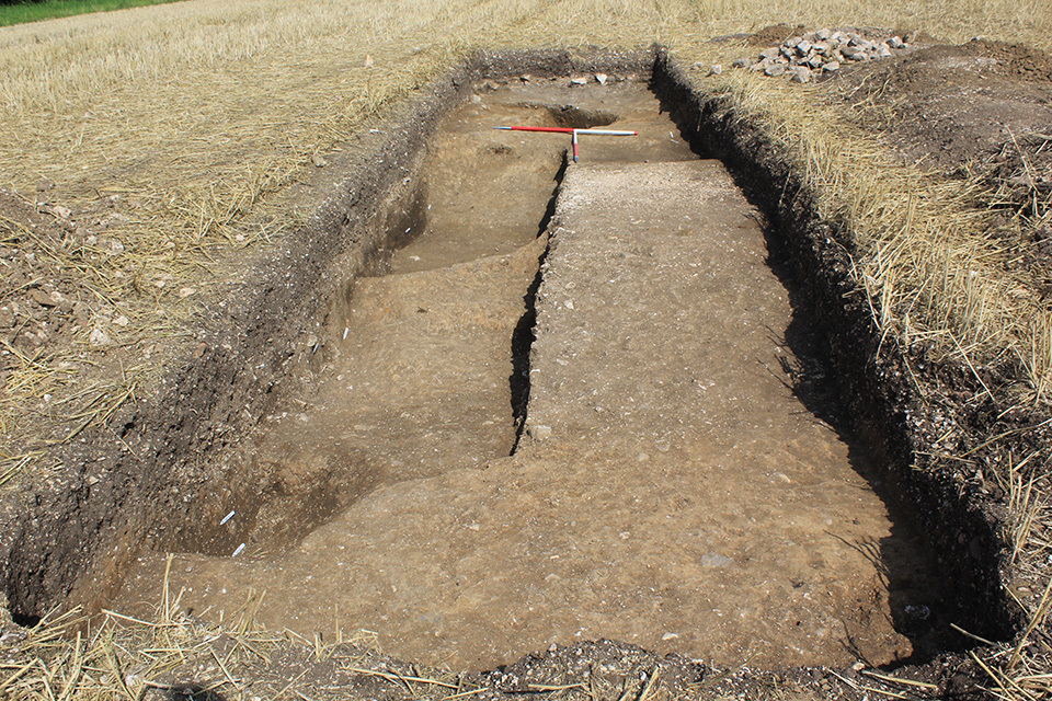
- Trench 3, post-ex., looking south, 1m scales
-
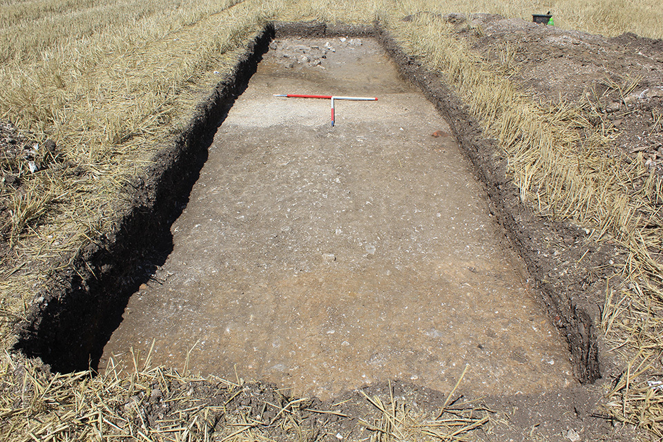
Photo: ELM_176758
- Trench 3, post-ex., looking north, 1m scales
Plan
-
Plan: ELM_3
- Post-excavation plan of Trench 3
- Paul Reed
- 20-8-2017
Record Details
- Not set
- Rick Barnett 16-8-2017
- - - - -
- - -