DigVentures
Digital Dig Team |
Digging Darrow
All Records
Advanced Search
Log In
Contexts at Digging Darrow
Explore the open archaeological data from our digs at Digging Darrow
<<
DGD
(16001)
Layer
>>
Short Description:
Vegetation layer
Issued to
Catt Gagnon
| 01/06/2018
Interpretation
No Interpretations
Sketch Photo
Stratigraphic Matrix
[not set]
DGD_16001
[not set]
Equal To
No Linked Records
Description
No text data has been added
Finds
Feature
Feature
No records attached.
Site Photos
Photo:
DGD_10108
Image
Short Description
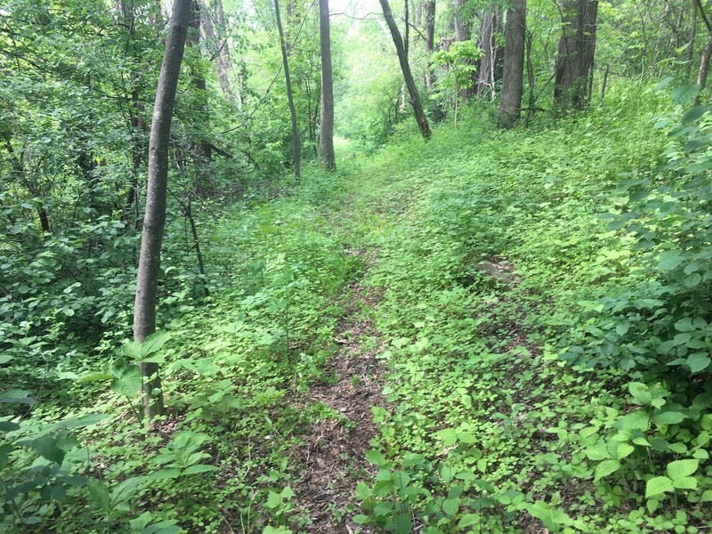
Dirt path in Grid 16.
Photo:
DGD_10110
Image
Short Description
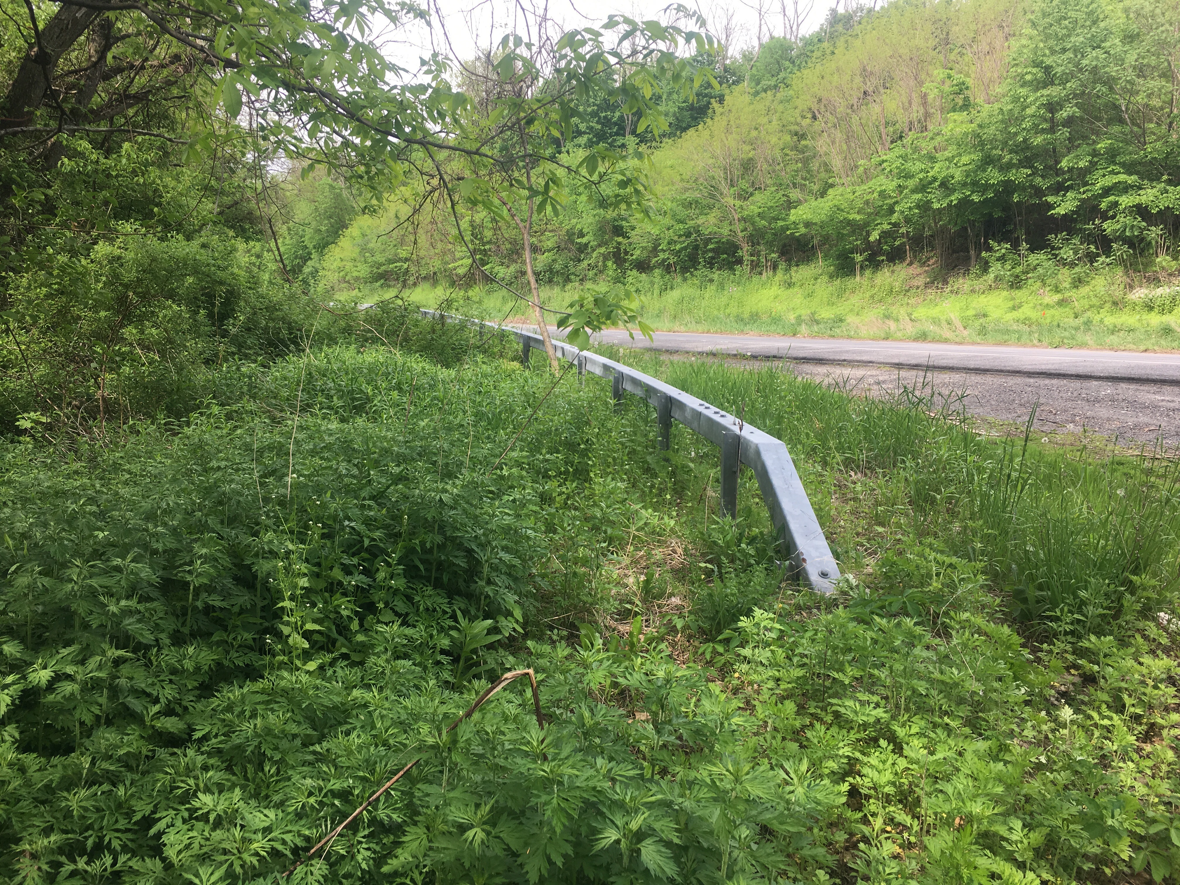
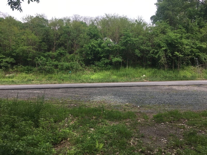
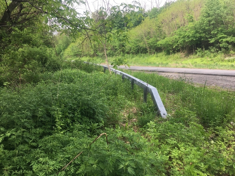
Looking E at Columbia Pike highway.
Photo:
DGD_10112
Image
Short Description
Looking at Columbia Pike highway.
Record Details
Record Complete
Not set
Issued to
Catt Gagnon
Issued on
1-6-2018
Compiled by
- -
Compiled on
- -
Checked by
- -
CLOSE
Home
Projects
Site Hut
Shop
Our Story
Meet the Team
Digital Dig Team
Get Involved
Digging Darrow
Background
Team
Timeline
Open Data
Login