Short Description:
Vegetation layer
Issued to
Richard Dekker | 31/05/2018
Interpretation
- No Interpretations
Sketch Photo
Description
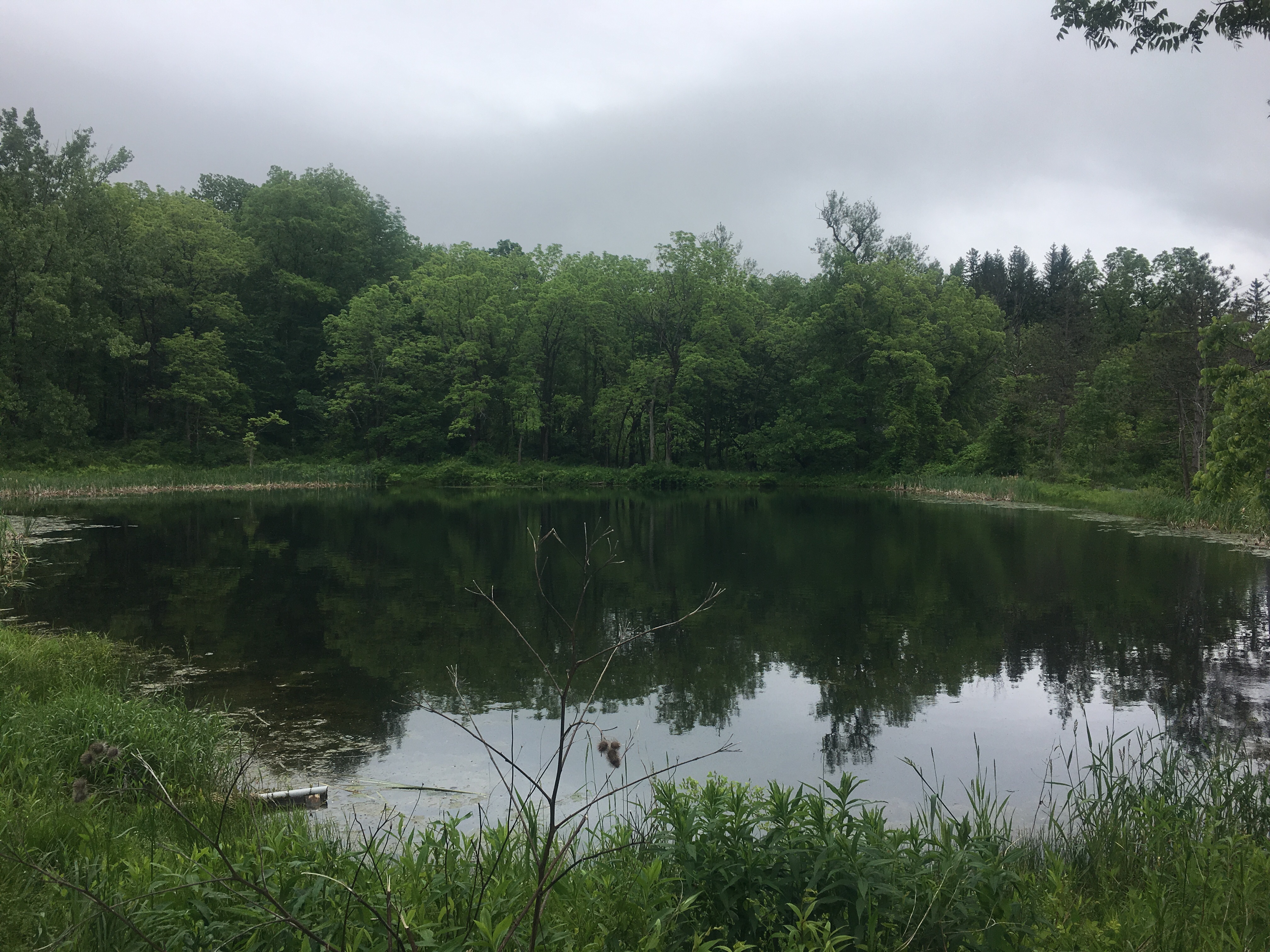
- Pond surrounded by trees, with large section of plant life in the water.
Finds
Feature
Site Photos
-
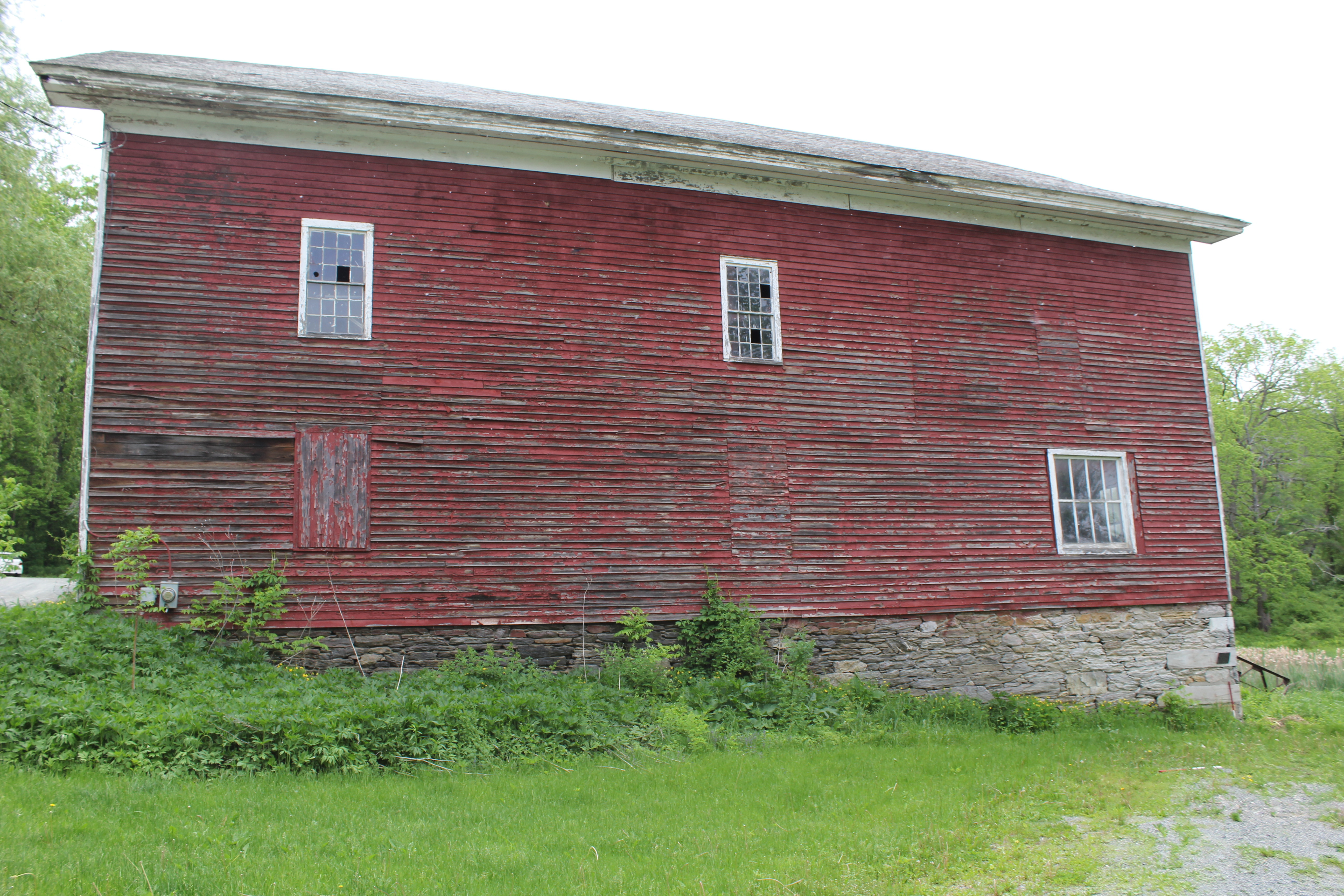
Photo: DGD_180108
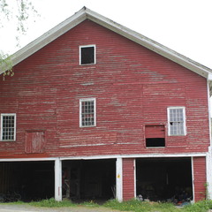
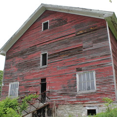
- F101, south facing
-
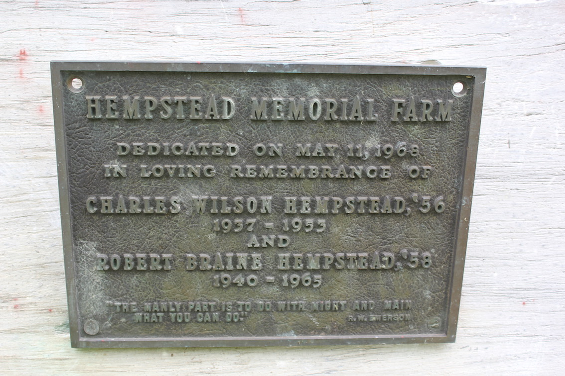
Photo: DGD_180109
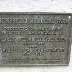
- Memorial plaque
-
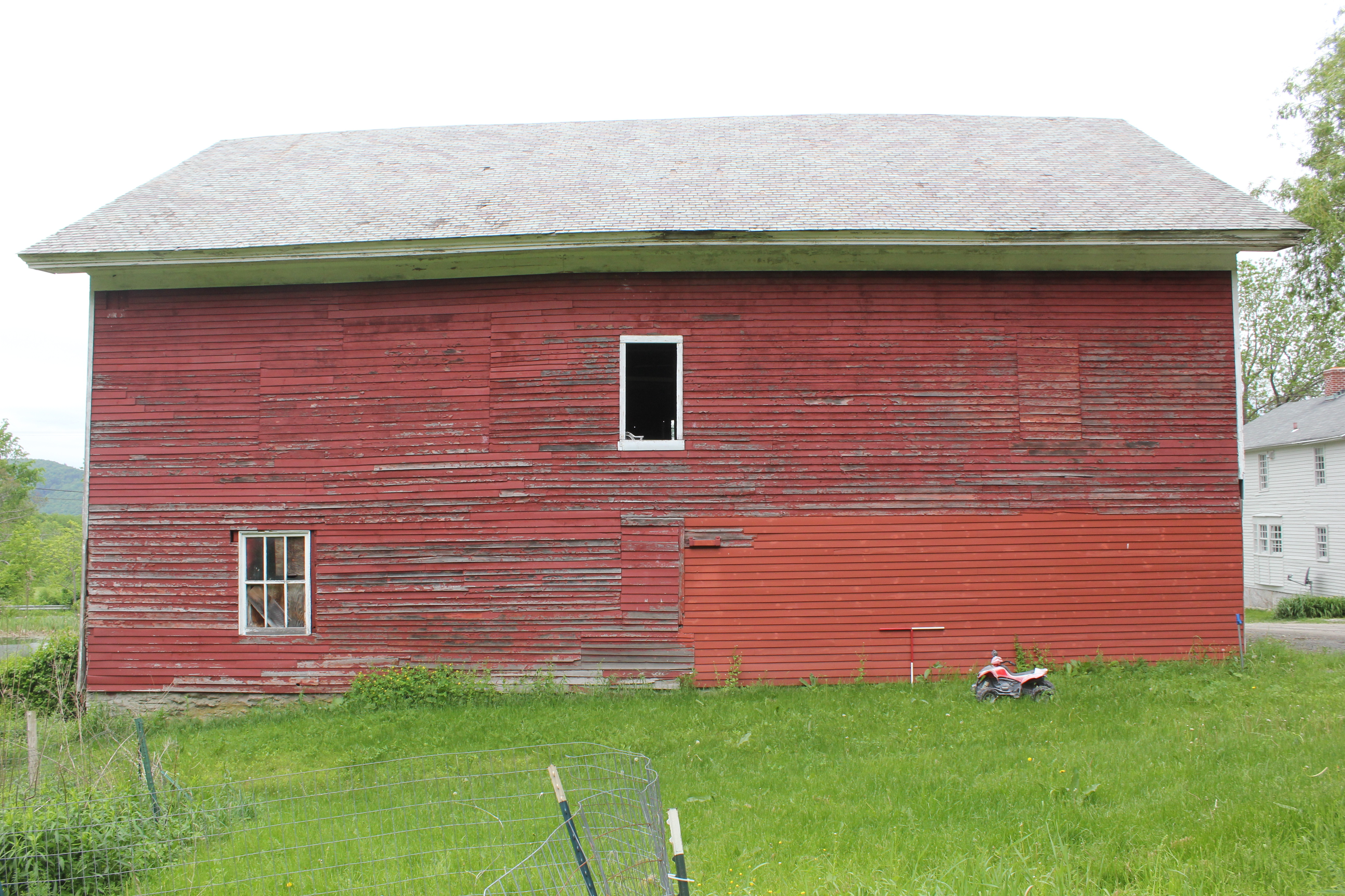
Photo: DGD_180111
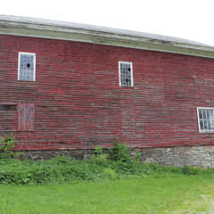
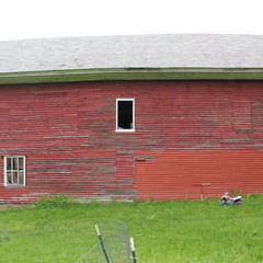
- F101, east facing
-
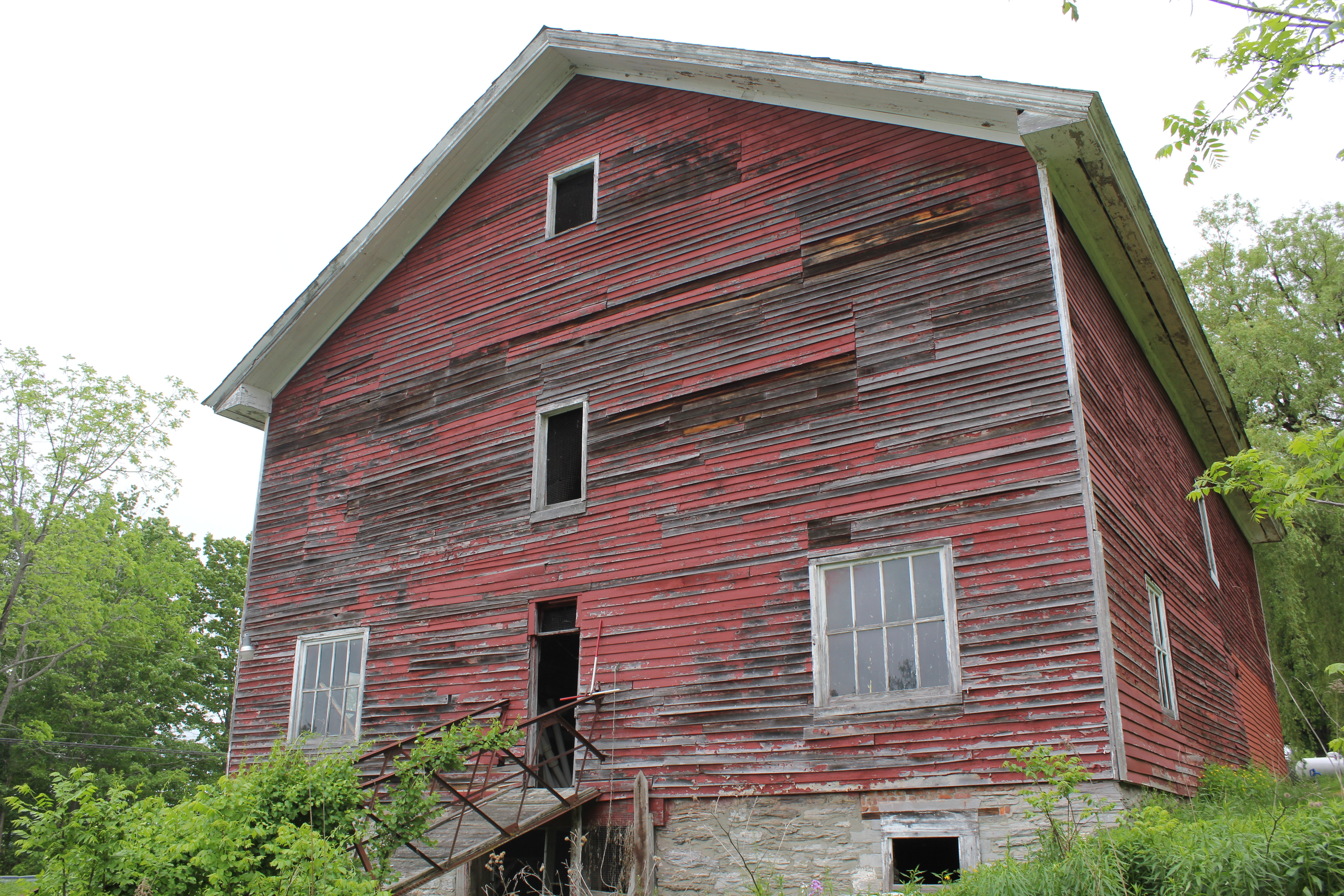
Photo: DGD_180112
- F101, west facing
-
Photo: DGD_180115
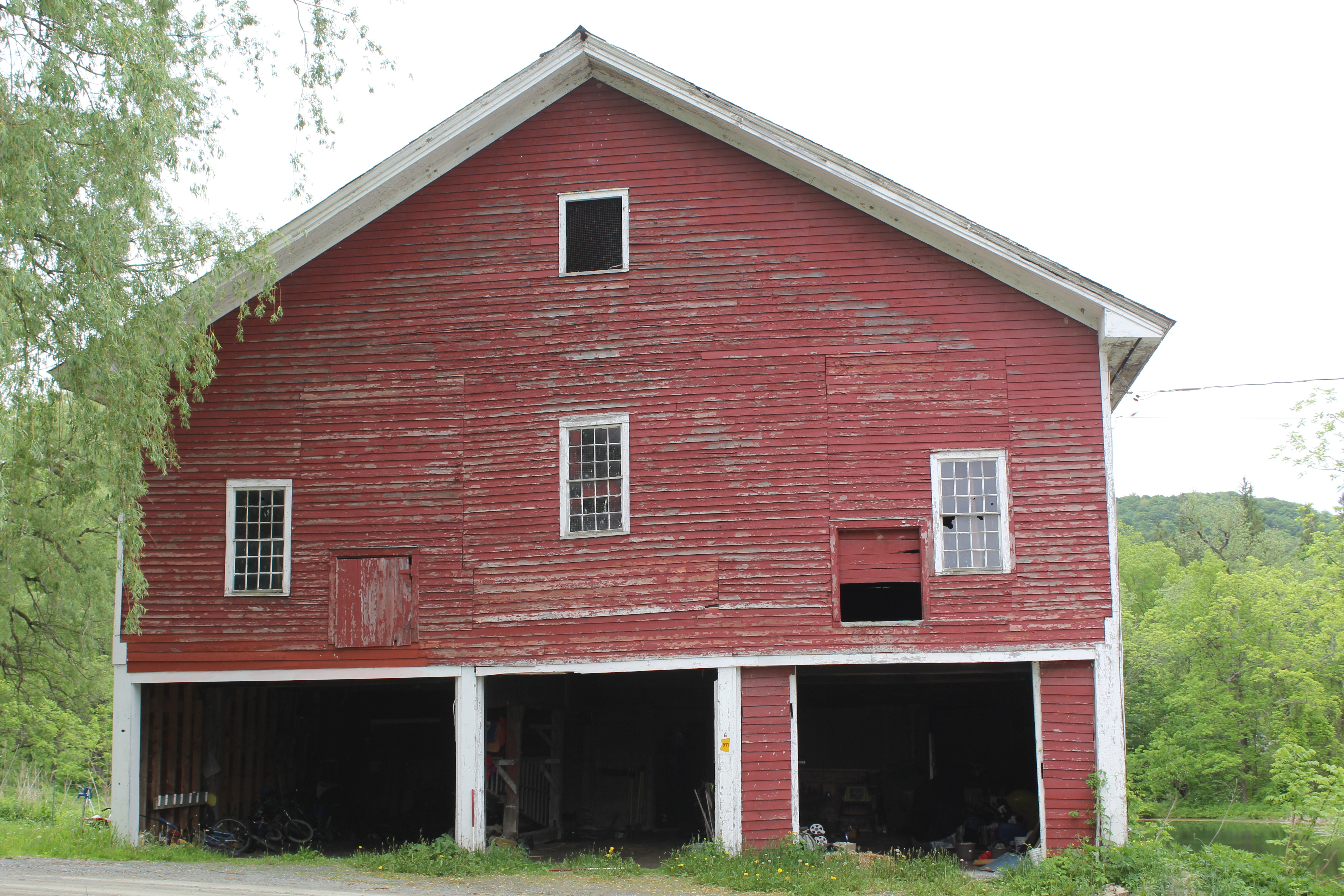
- F101, north-west facing
-
Photo: DGD_180116
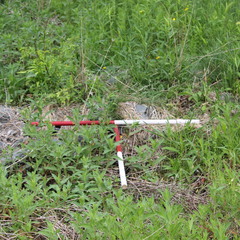
- Dam stones(slate) 3-4 ft wide Ditch that diverts into pond
Record Details
- Not set
- Richard Dekker 31-5-2018
- - - - -
- - -