Short Description:
Vegetation layer
Issued to
Nicola Fuentes | 31/05/2018
Interpretation
- No Interpretations
Sketch Photo
Description
- No text data has been added
Finds
Feature
-
Feature: DGD_601
- Wall North of Ann Lee Lane
Site Photos
-
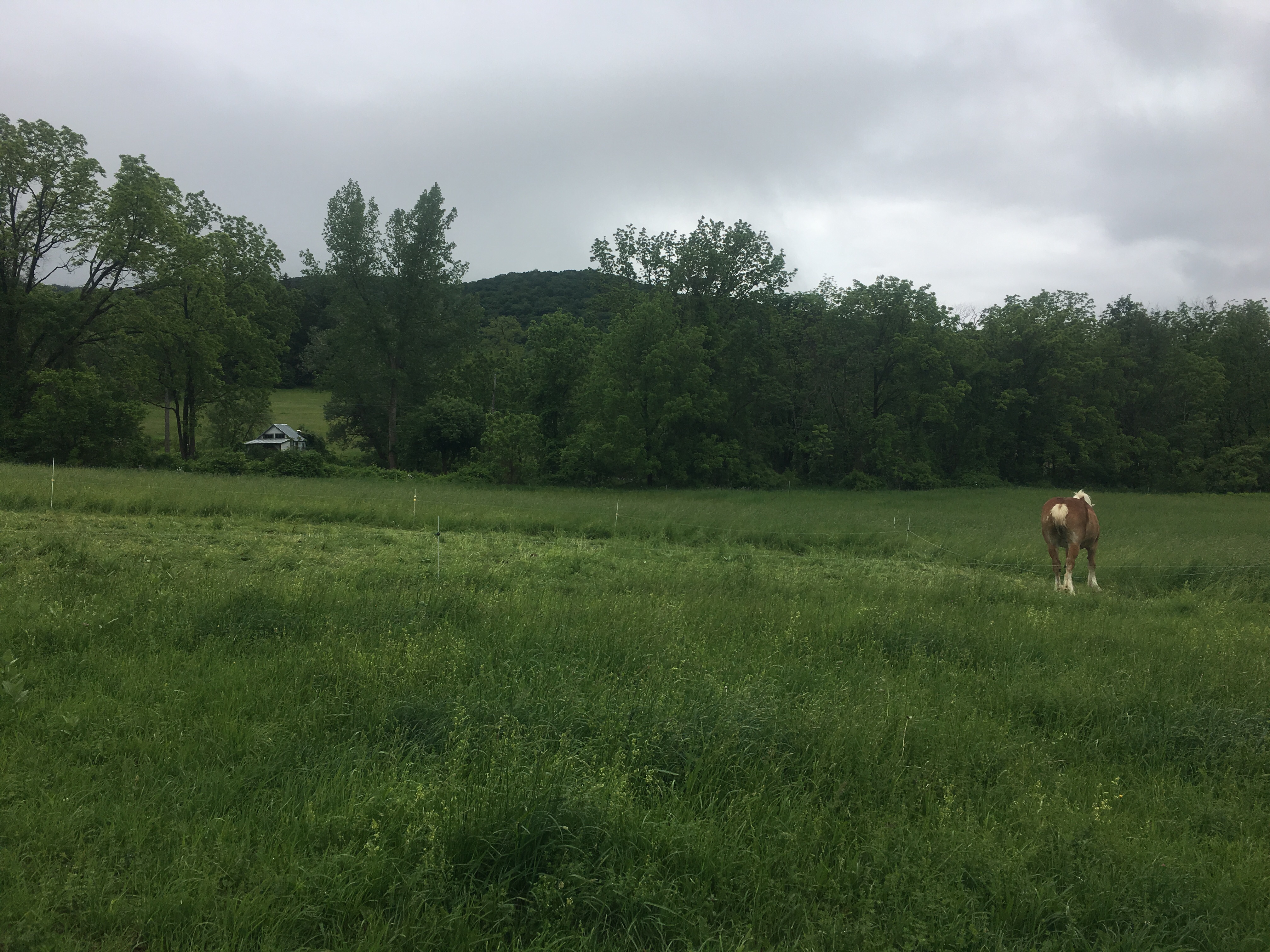
Photo: DGD_10063
- S end of Grid 6 looking S. Looing at a wire fence marking the end of the grass pasture and the start of the thicket that runs either side of Ann Lee lane.
-
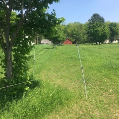
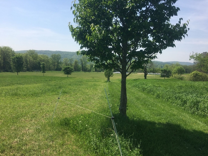
Photo: DGD_10065
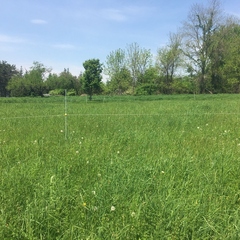
- Grid 6. Grass pasture. Looking N at rows of modern electric fences.
-
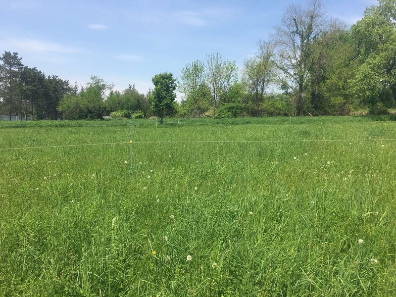
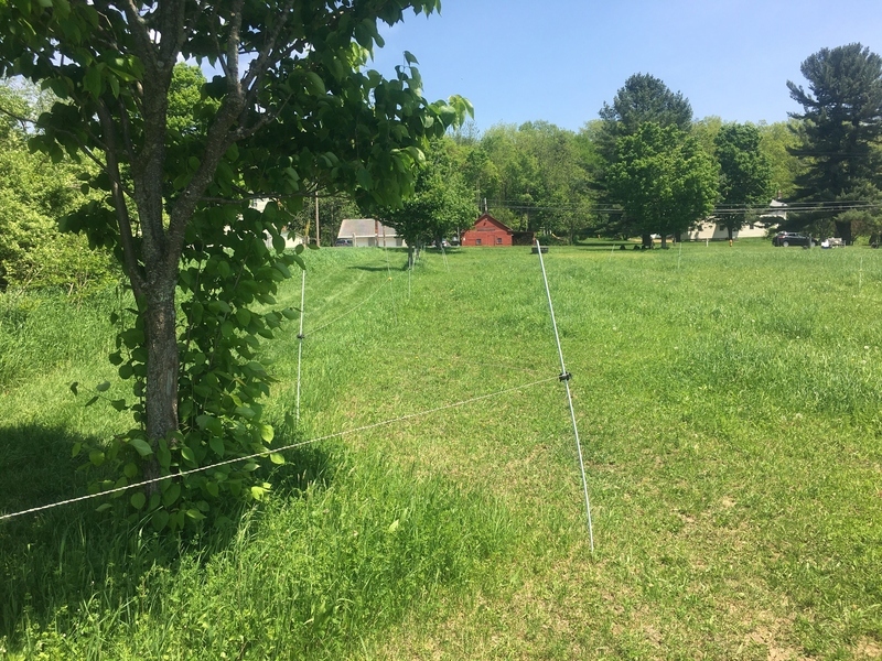
Photo: DGD_10069
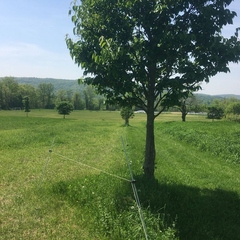
- Grid 6. Grass pasture. Looking W from N of grid.
-
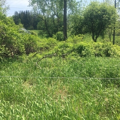
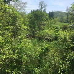
Photo: DGD_10071
- Taken looking E from NE corner of Grid 6. Red maple suglar storage shed (F204) can be seen.
-
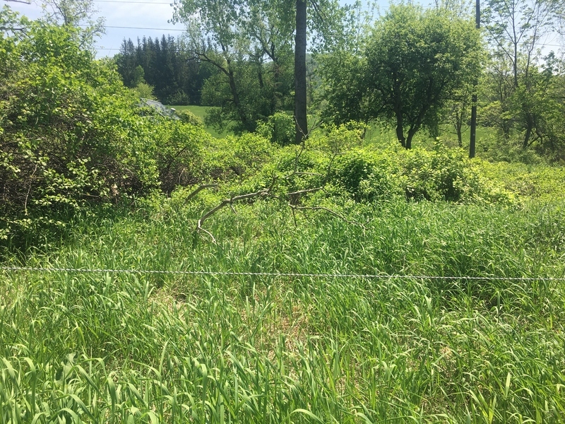
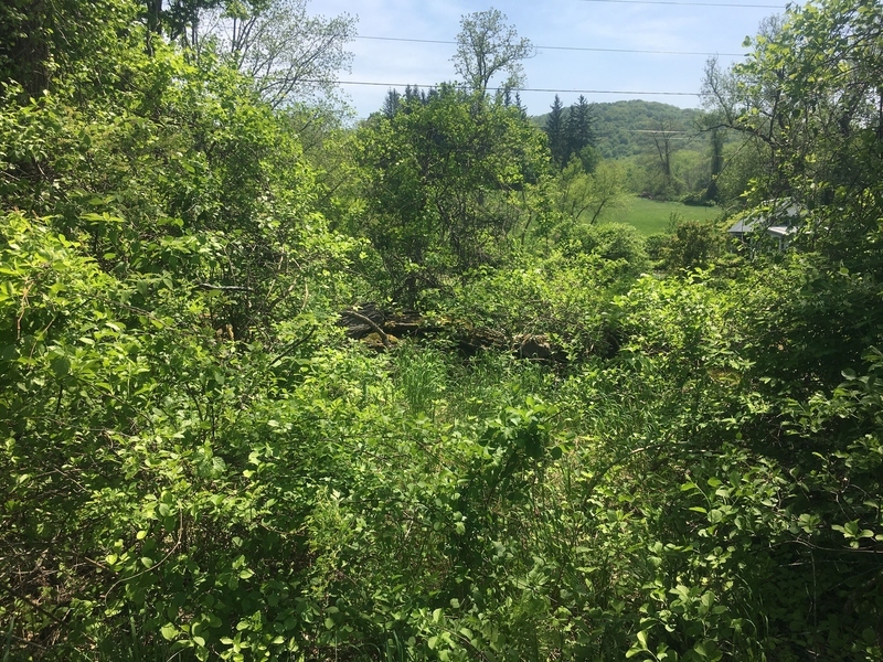
Photo: DGD_10074
- F601, the wall N of Ann Lee lane can be seen between the thick bush and tree cover. Looking roughly S.
Record Details
- Not set
- Nicola Fuentes 31-5-2018
- - - - -
- - -