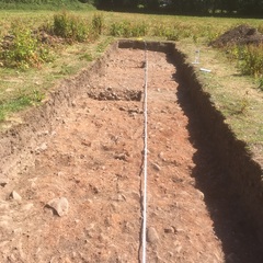
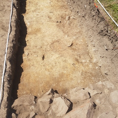
- 25m x 2m trench in NW area of site
Photos
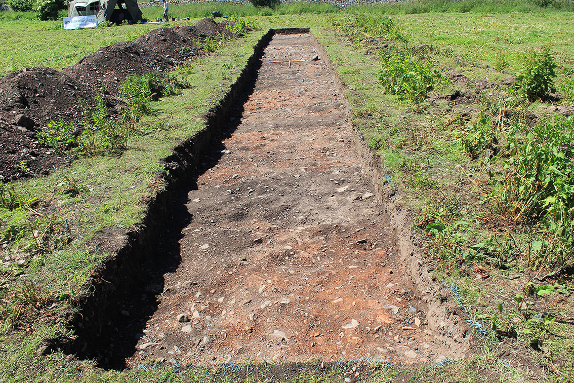
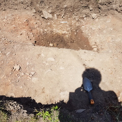
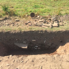
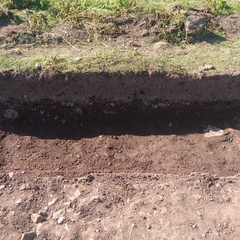
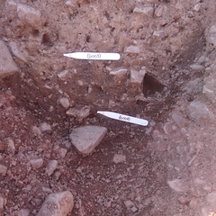
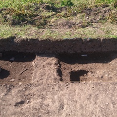
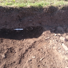
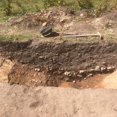
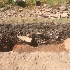
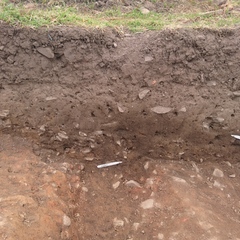
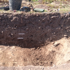
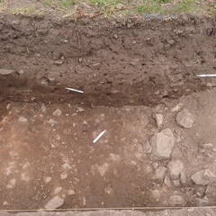
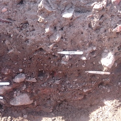
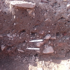
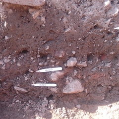
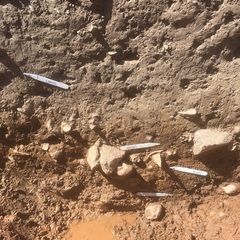
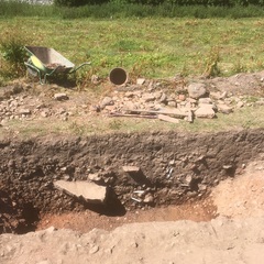
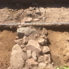
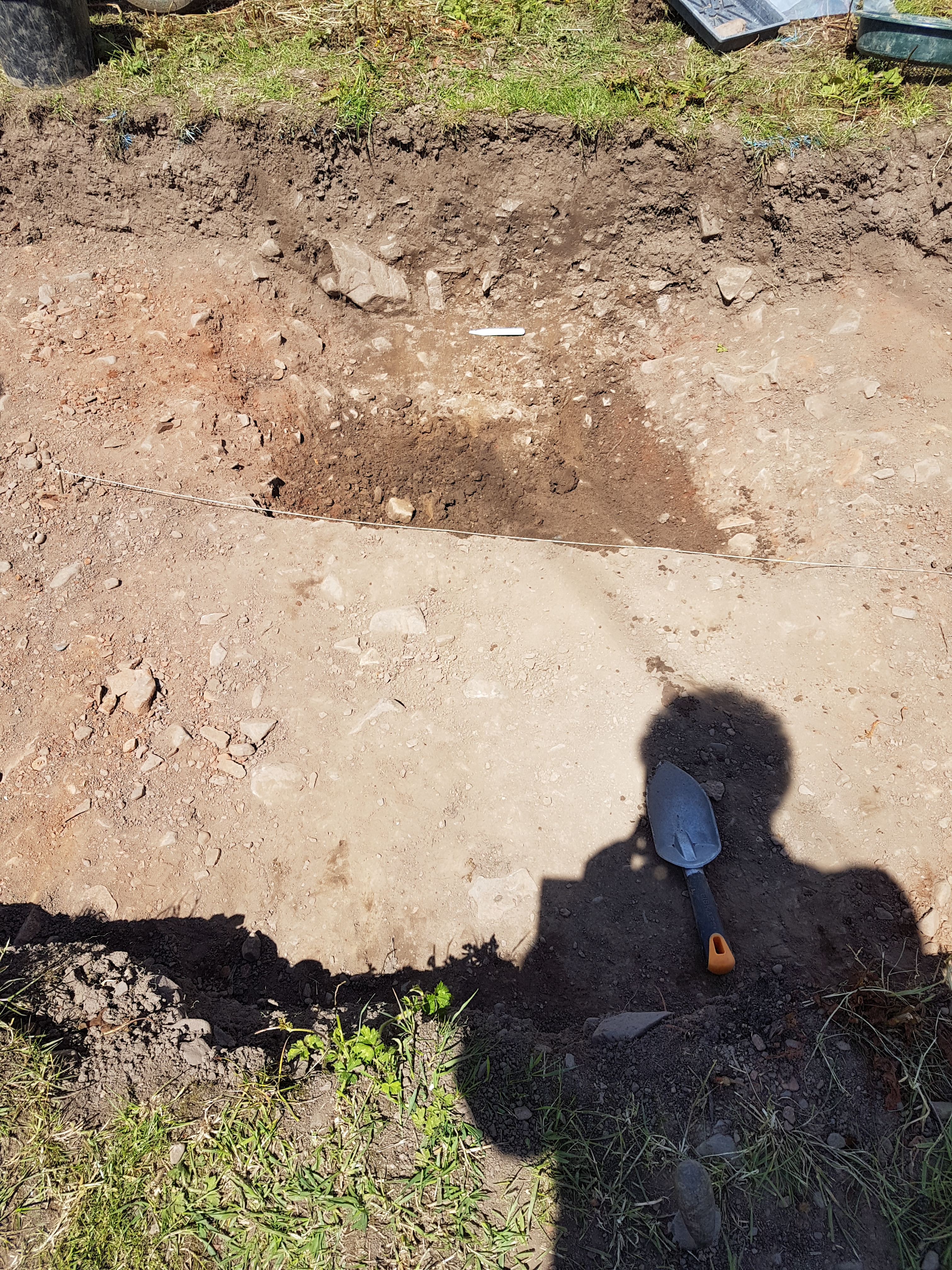
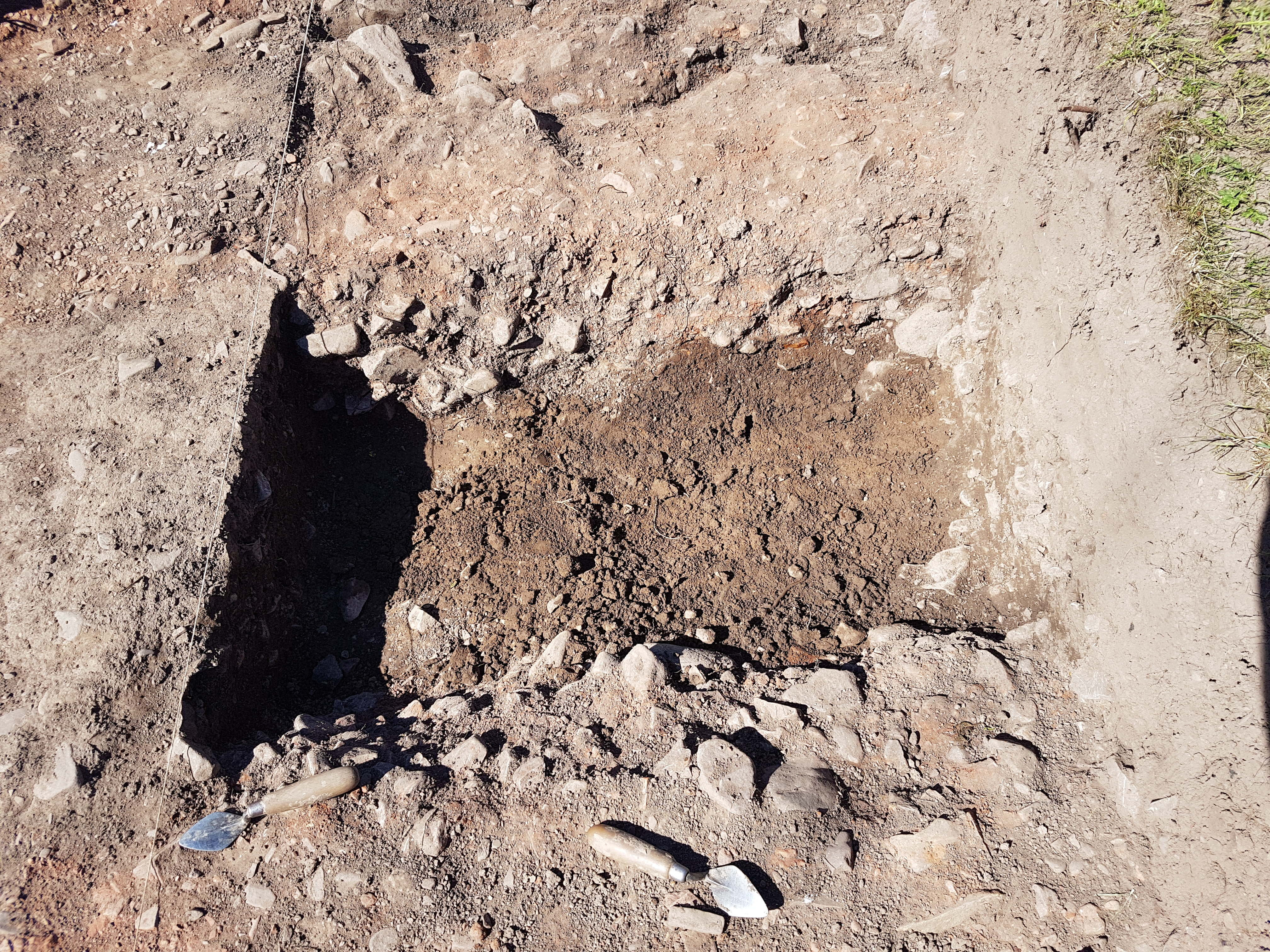
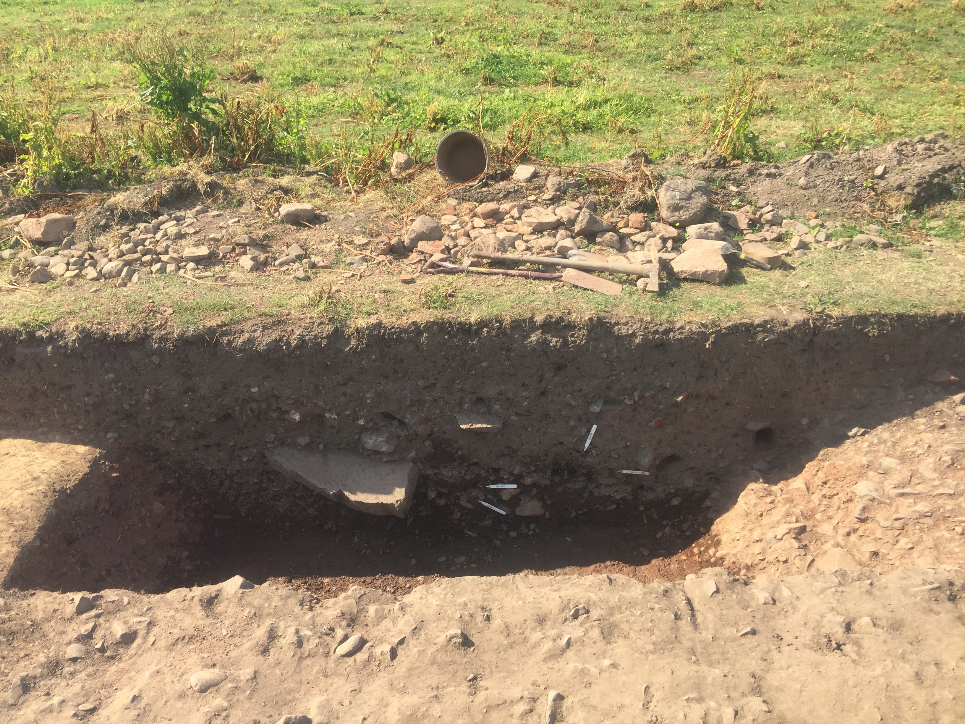
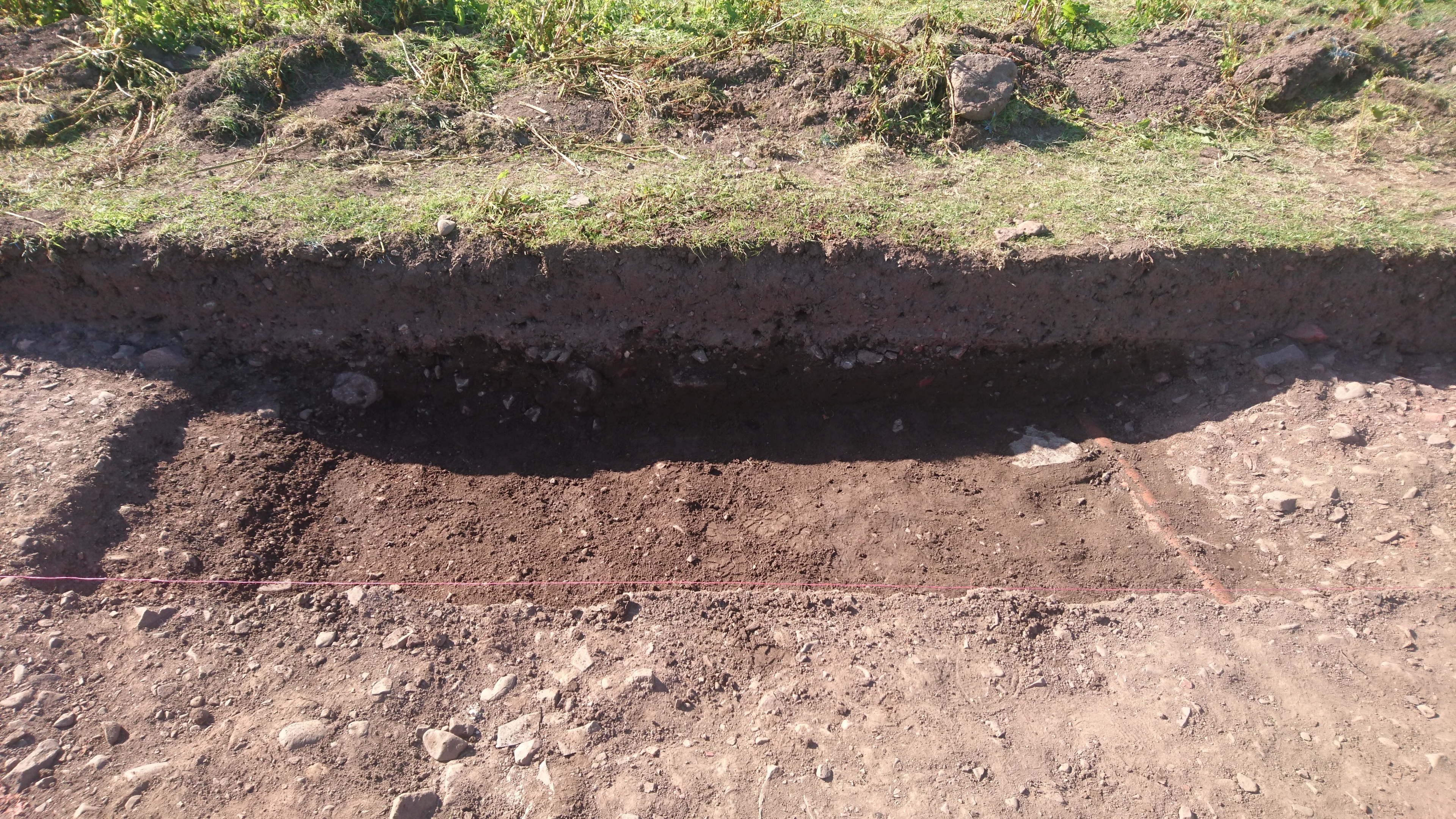
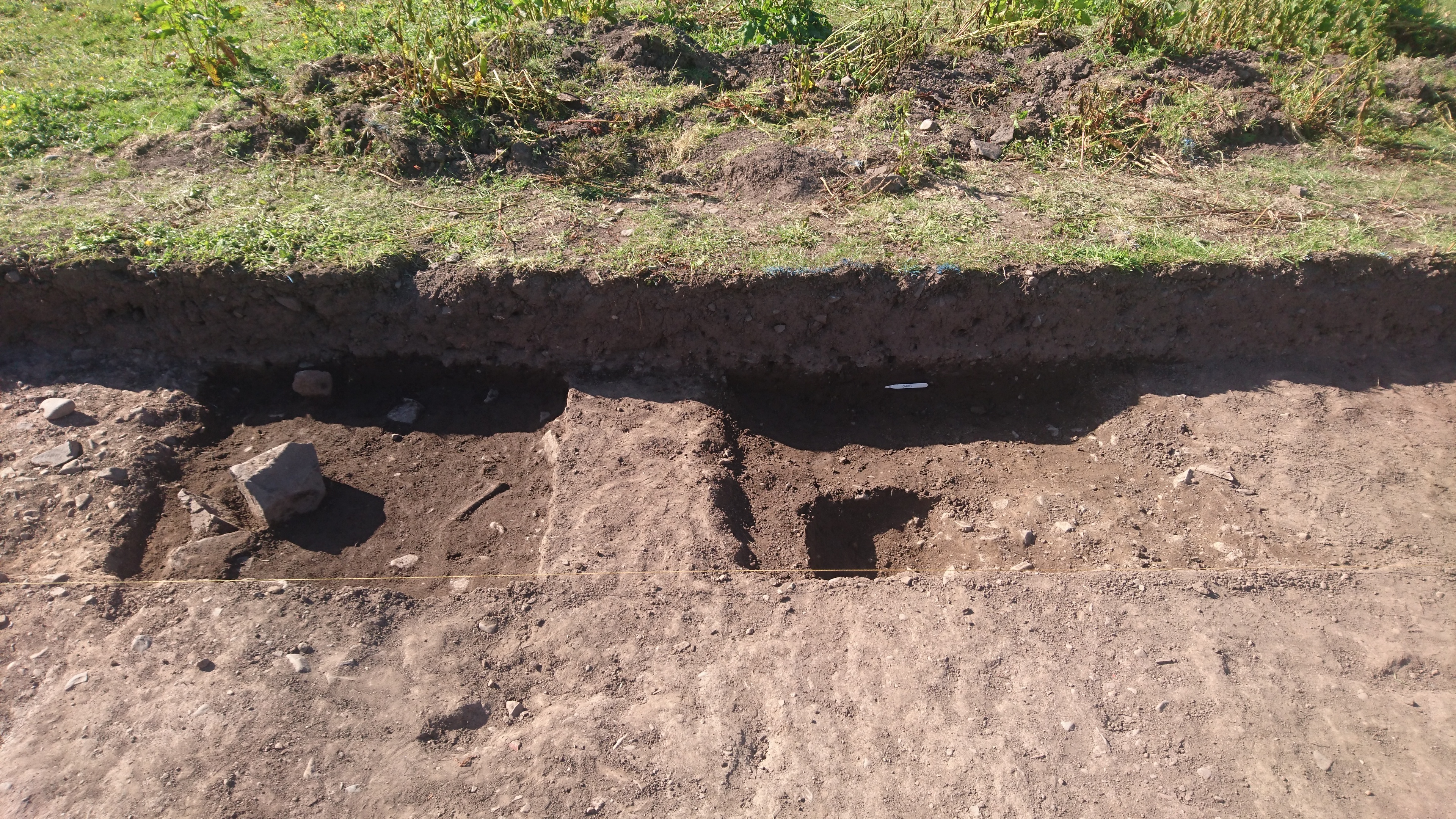
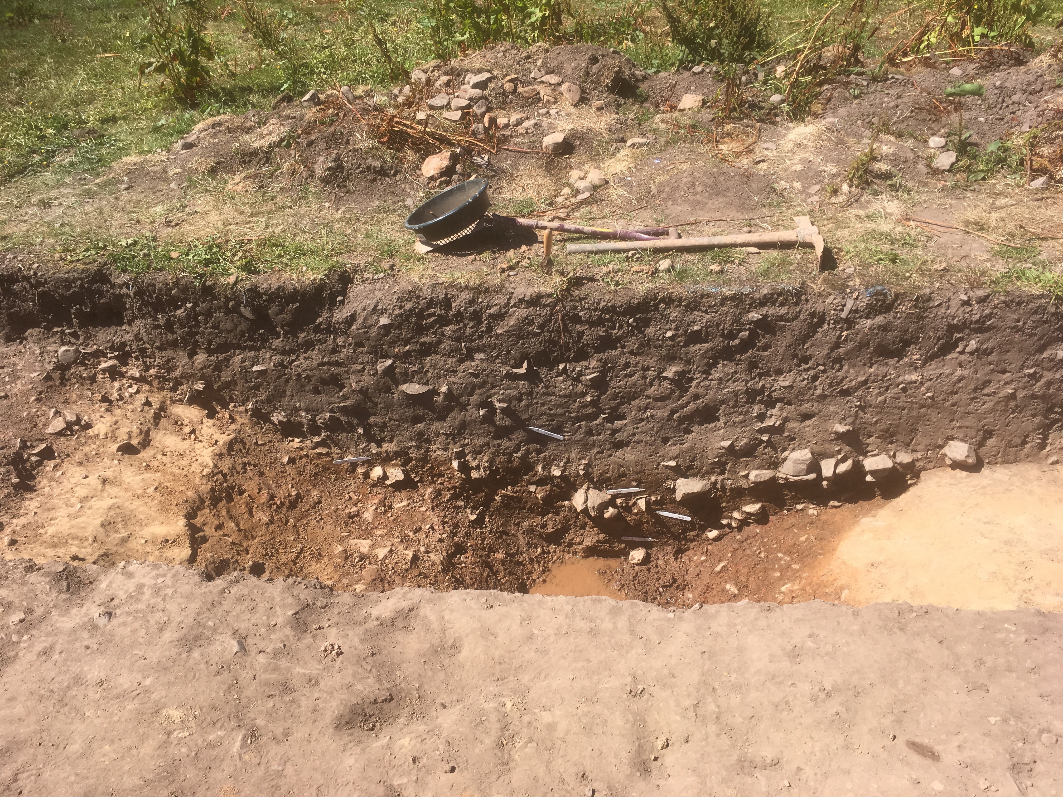
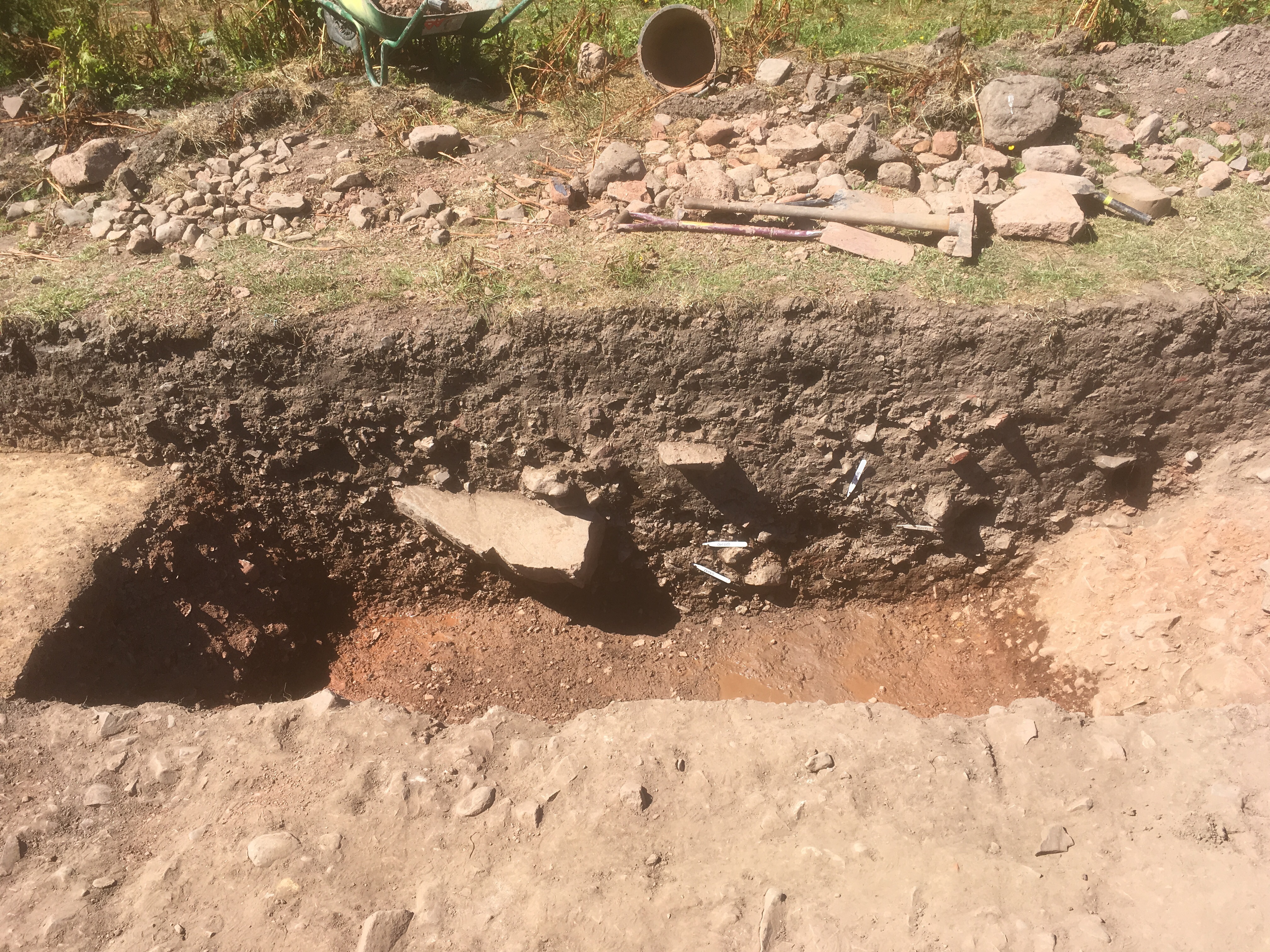
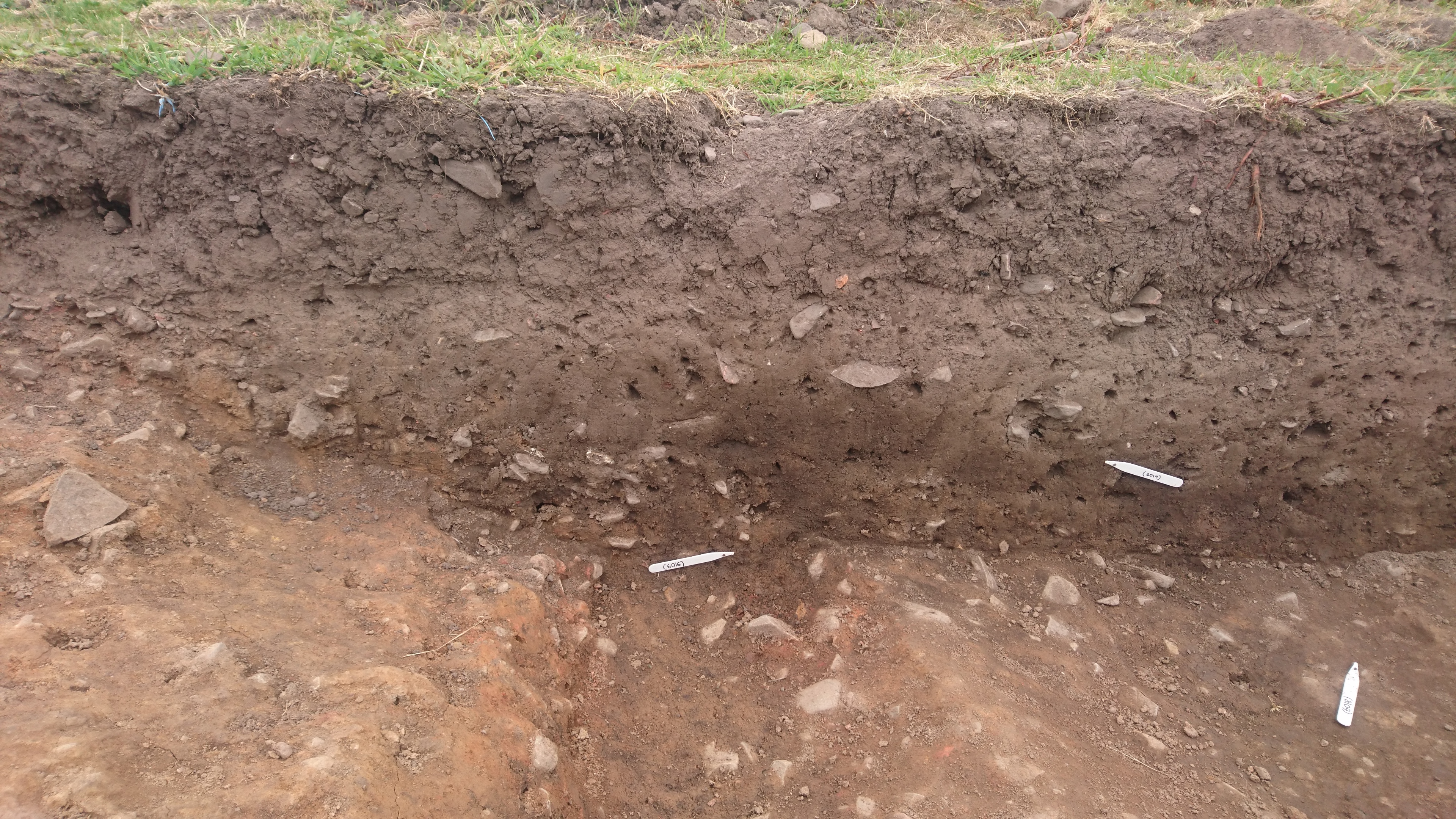
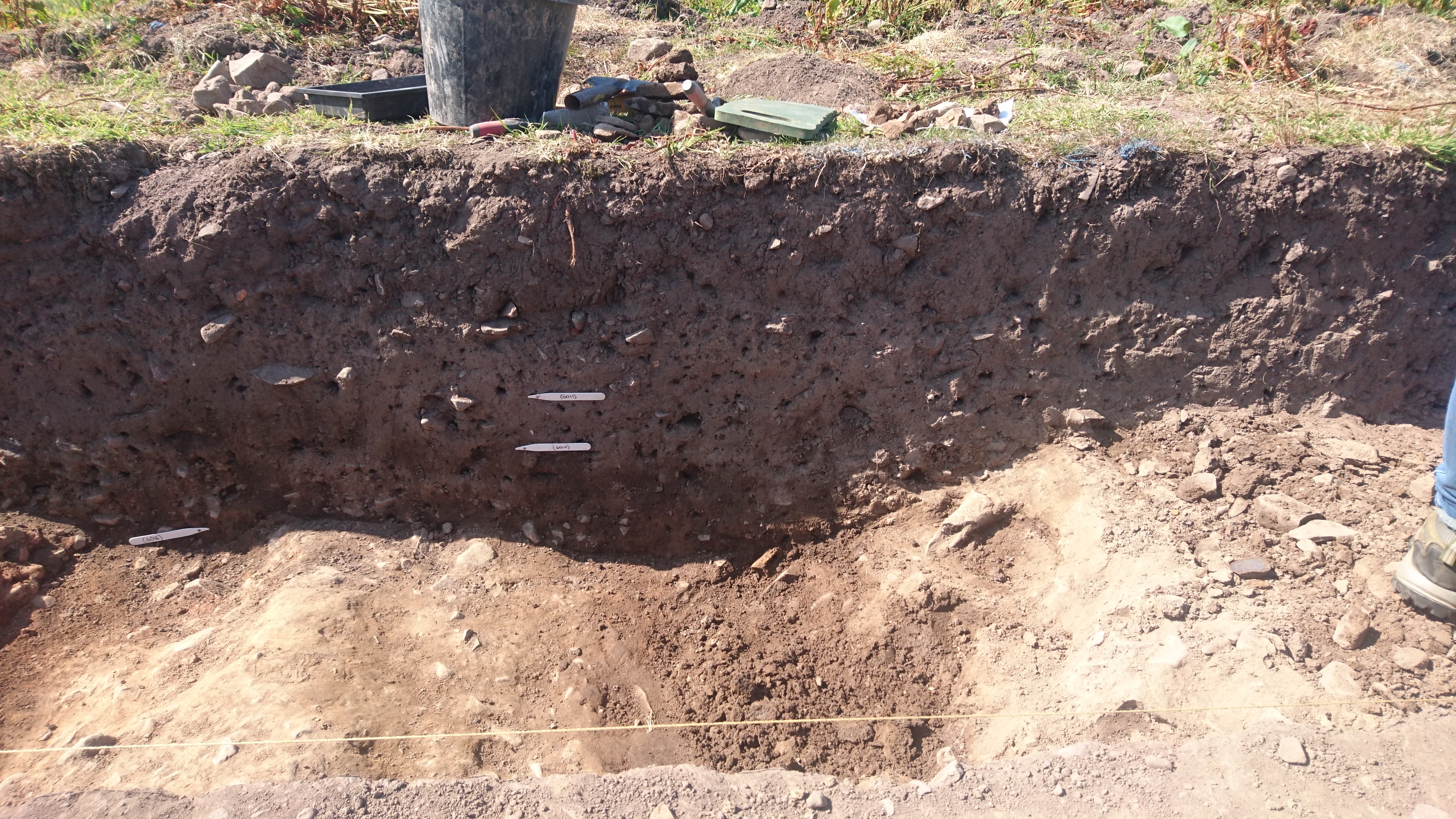
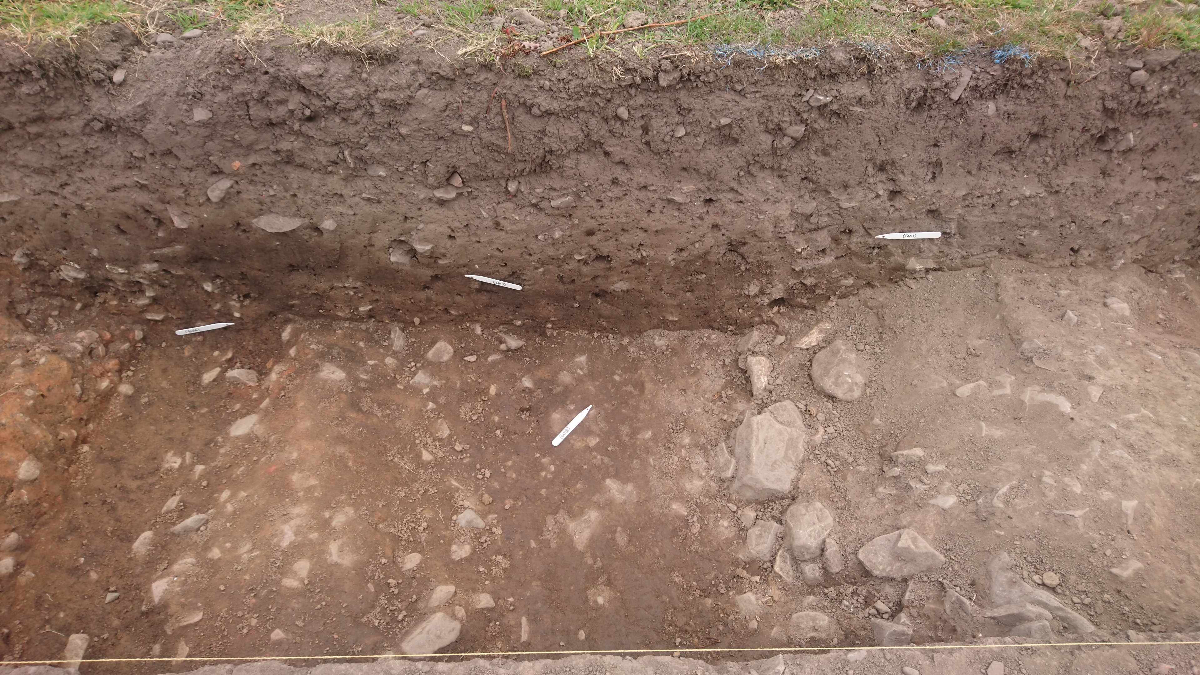
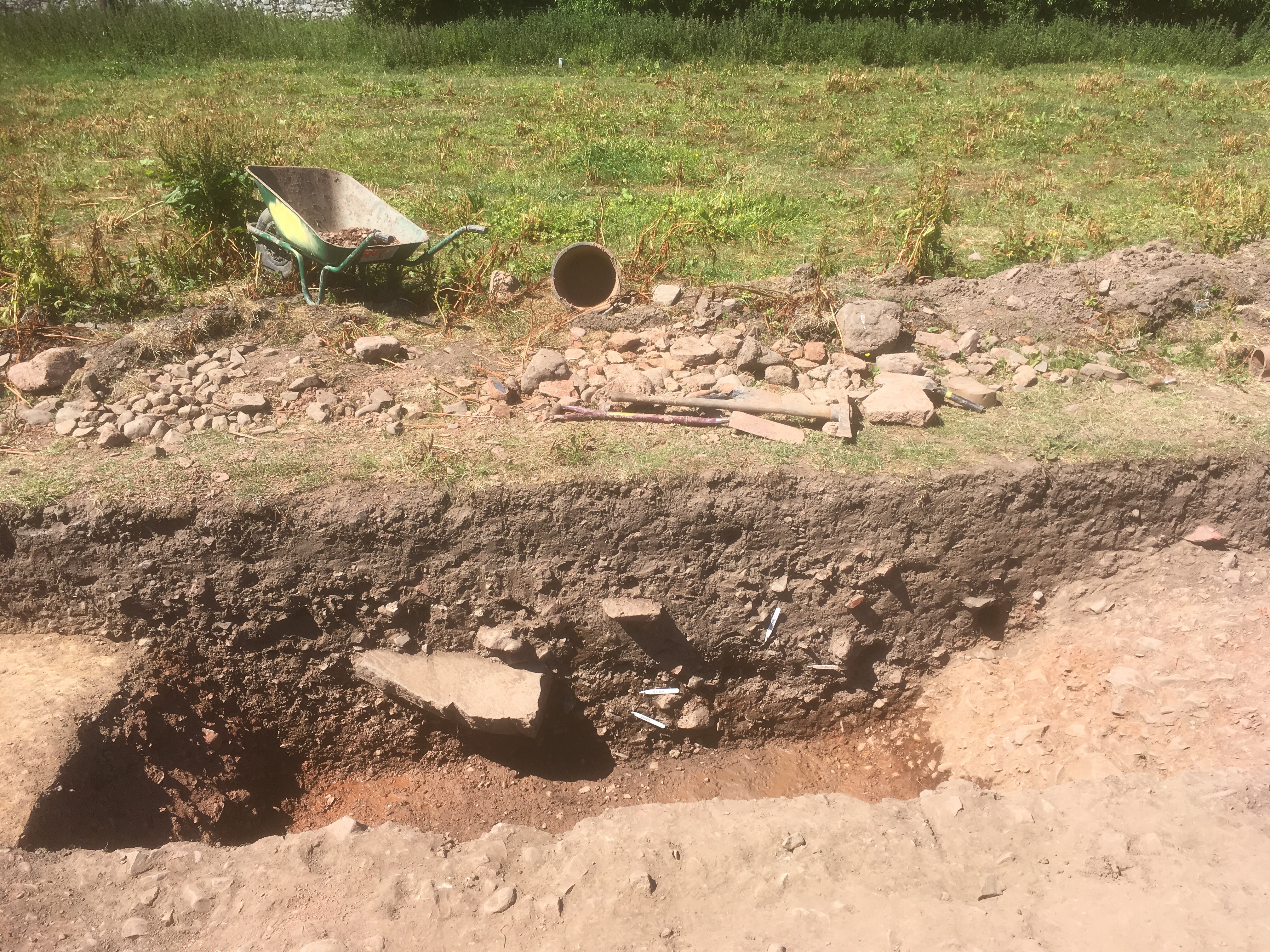
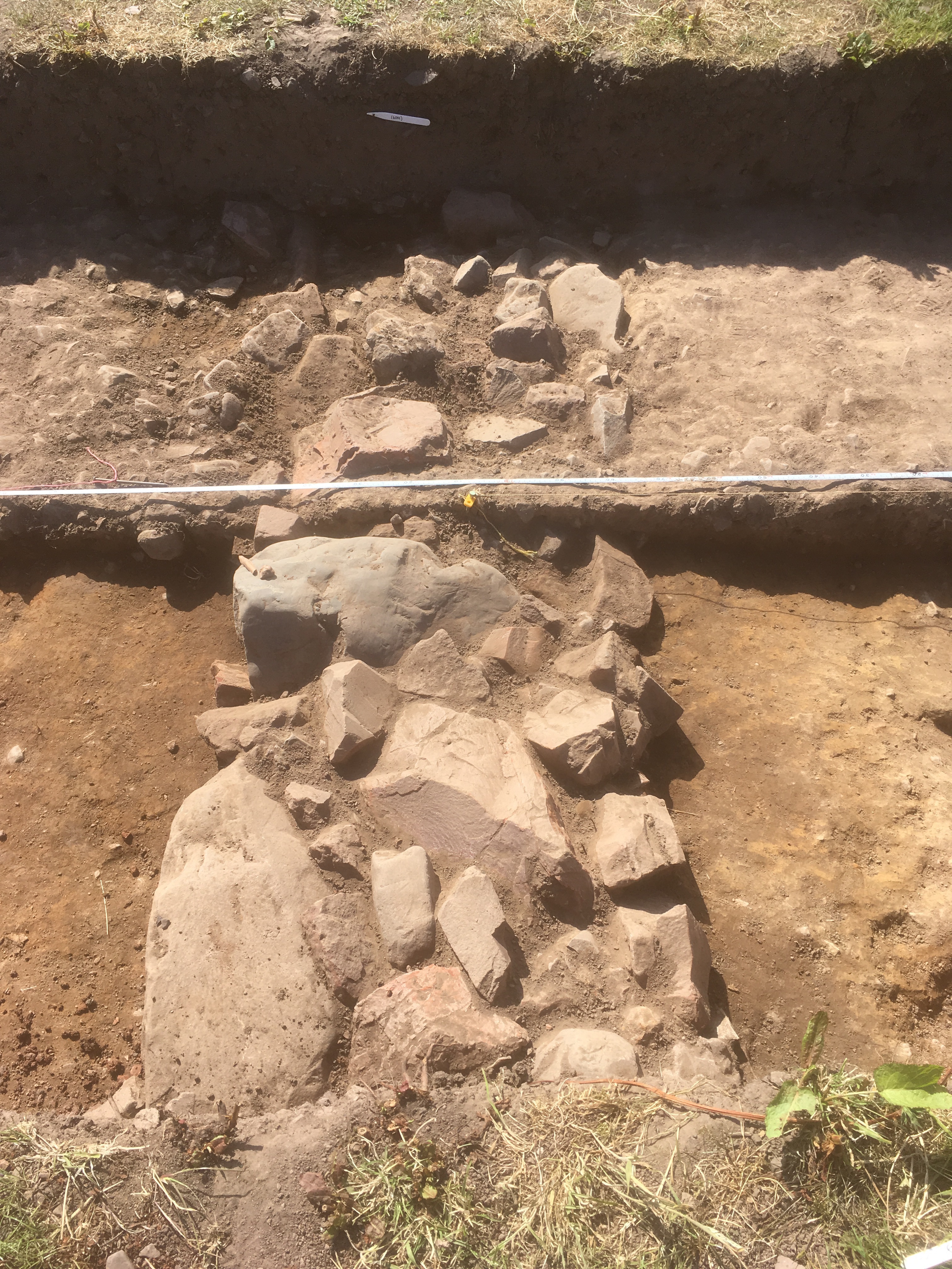
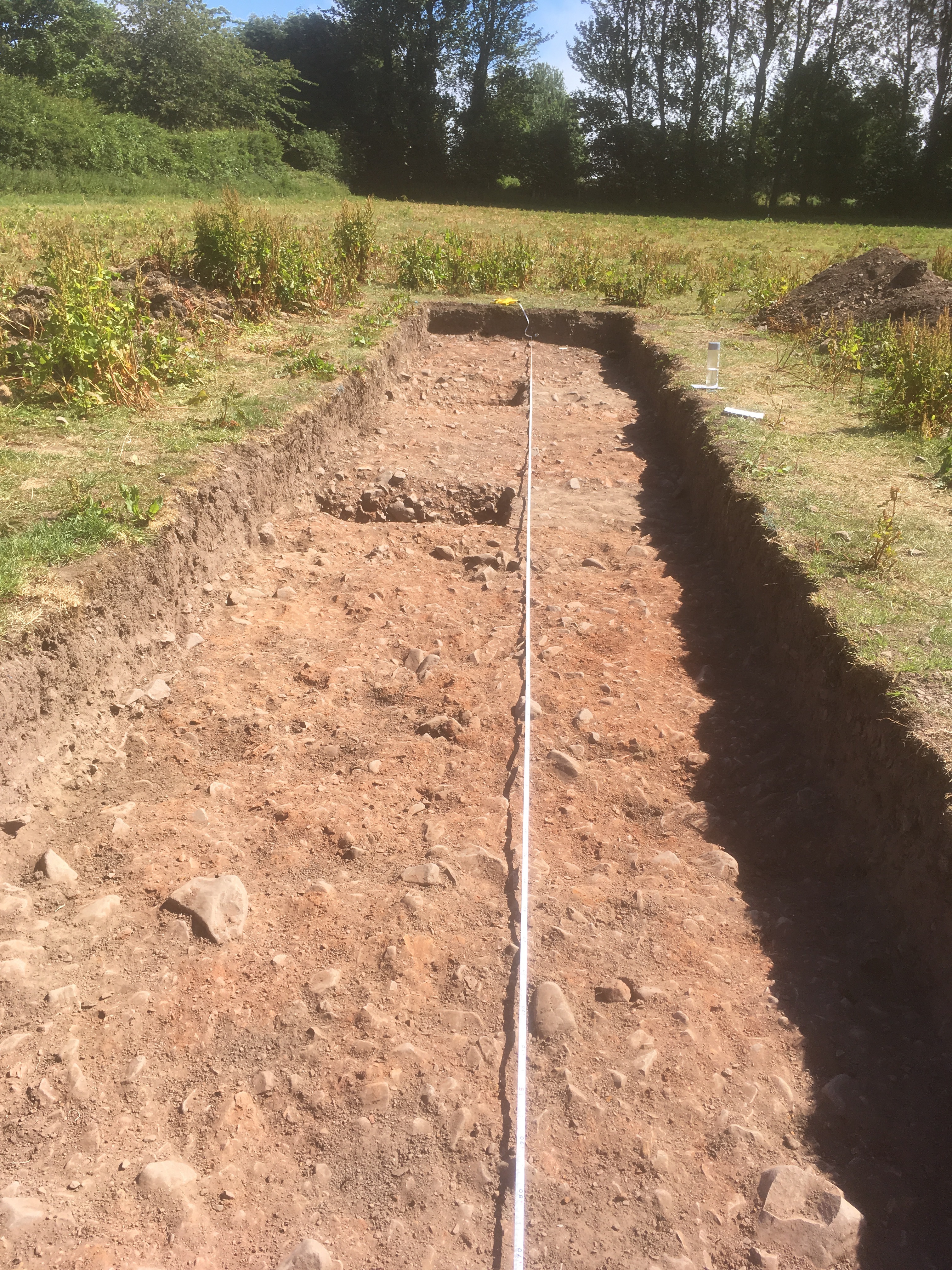
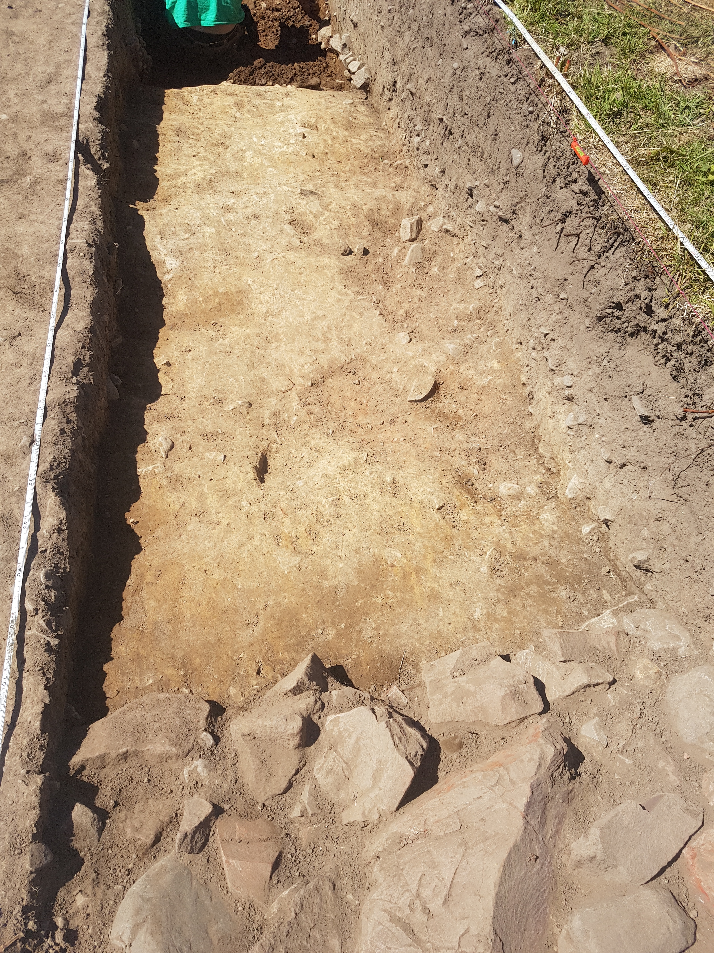
- Trench 6 was a 25m x 2m trench facing East-West in the North-West area of site. Trench 6 was placed here to target three significant geophysical anomalies identified through a magnetometer survey conducted in 2013. First, what was believed to be a continuation of a 7th/early 8th century enclosure ditch, dated though excavations in an adjacent field, in the western side of the trench. Second, a later (potentially post-medieval) enclosure (which the magnetometer survey also suggests goes through trench 7) in the middle of the trench. Finally, a potential trackway with ditches either side in the eastern side of the trench. Topsoil from the trench was removed via JCB, all subsequent features were hand cleaned and excavated using mattocks and trowels. Once the topsoil was removed and the trench had been cleaned the three features identified with the magnetometer survey appeared to be present in the trench. All three features were excavated further. When excavating the eastern trackway ditch a test pit was identified, the fill of this was removed and no context numbers were assigned to this fill. The potential 8th century enclosure ditch (f606) was excavated fully, no immediately datable finds were found in this ditch, but sampling was taken. The later ditch (f604) was fully excavated to reveal it was a ditch that had been recut at a later date (f603). A wall (f605) was found in-between f606 and f604. Which was identified on the resistance survey. The 'trackway' ditches were identified as such on the geophysics because they ran parallel. However upon excavation it became clear that the ditches were different widths and shapes, with the western trackway ditch (f602) being more 'U' shaped and the eastern (f601) with more convex sides. The natural between the ditches is also not 'metalled', therefore, these ditches are no longer interpreted as being ditches running alongside a trackway. This could explain why the western trackway ditch anomaly peters out on the geophysics.
3-D Models
Plan
-
Plan: COL18_7
- Post ex plan of trench 6
- Ruth McTighe
- 1-7-2018
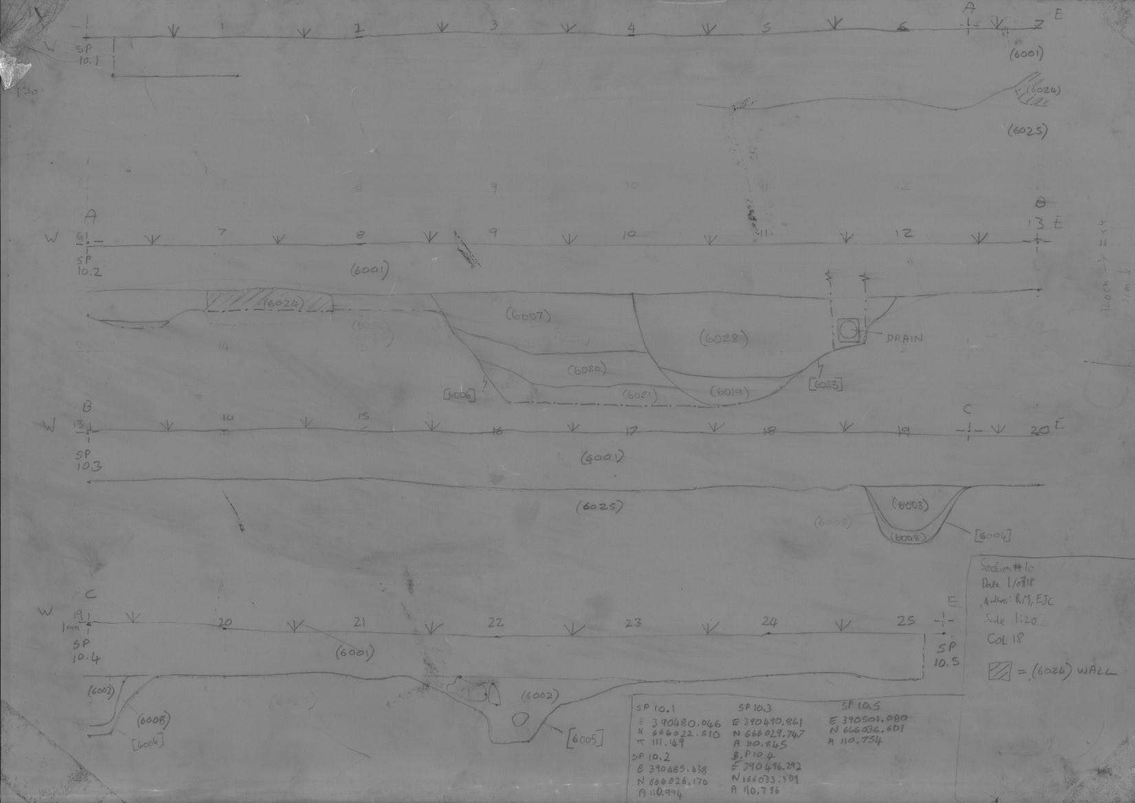
Section
-
Section: COL18_10
- Post ex section south facing of trench 6
- Ruth McTighe
- 1-7-2018
Features
-
Feature: COL18_601
- Northwest-southeast aligned ditch (same as F101)
-
Feature: COL18_602
- Northwest-southeast aligned ditch, east of F601
-
Feature: COL18_603
- Re-cut of enclosure ditch
-
Feature: COL18_604
- Early enclosure ditch
-
Feature: COL18_605
- Wall
-
Feature: COL18_606
- Possible vallum ditch
-
Feature: COL18_607
- Vallum ditch
Contexts
-
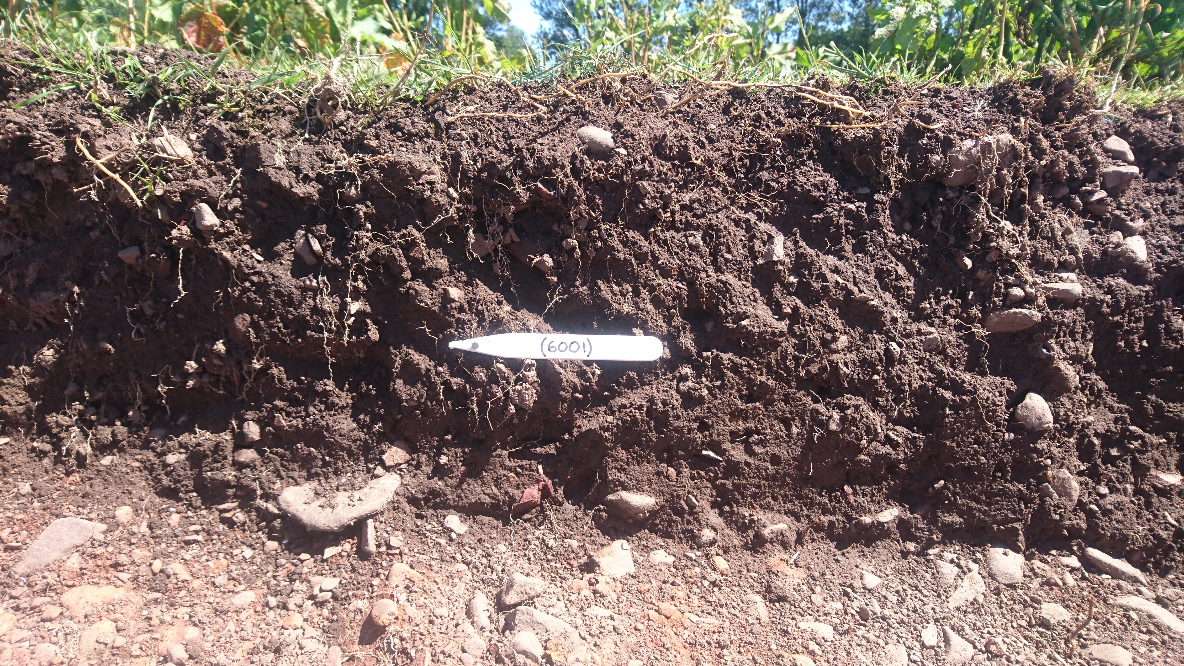
Context: COL18_6001
- Topsoil
- DigVentures
- 21-6-2018
-
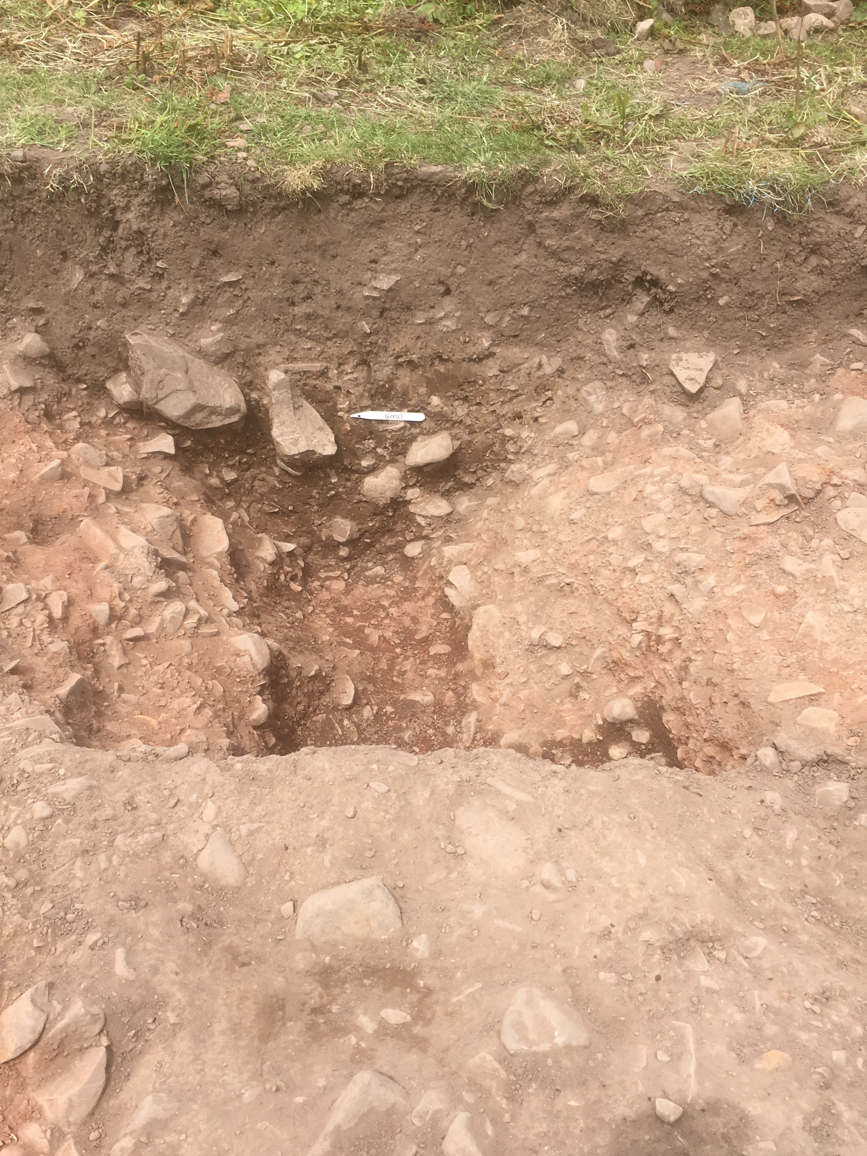
Context: COL18_6002
- fill of eastern trackway ditch [6005]
- Melissa McDonald
- 21-6-2018
-
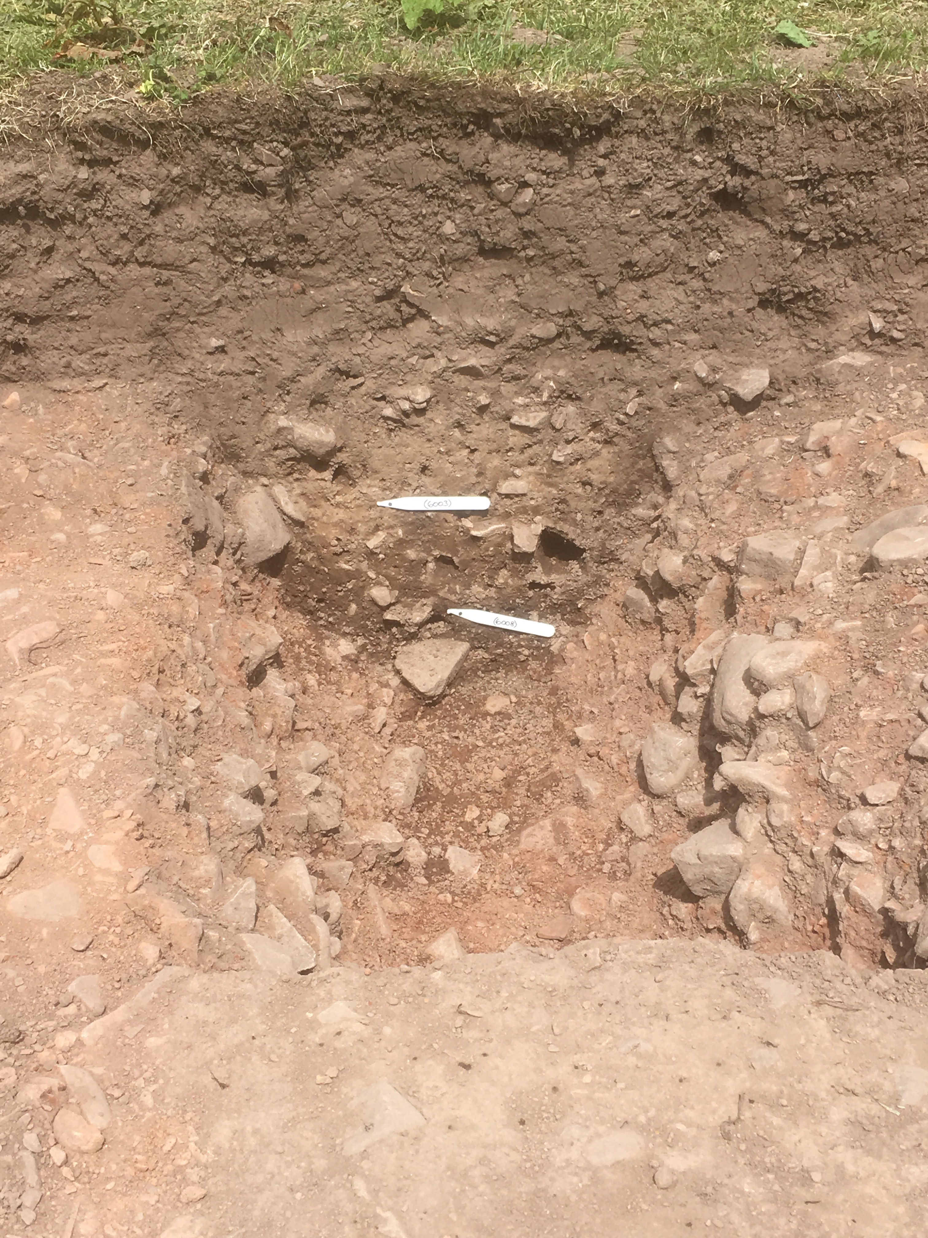
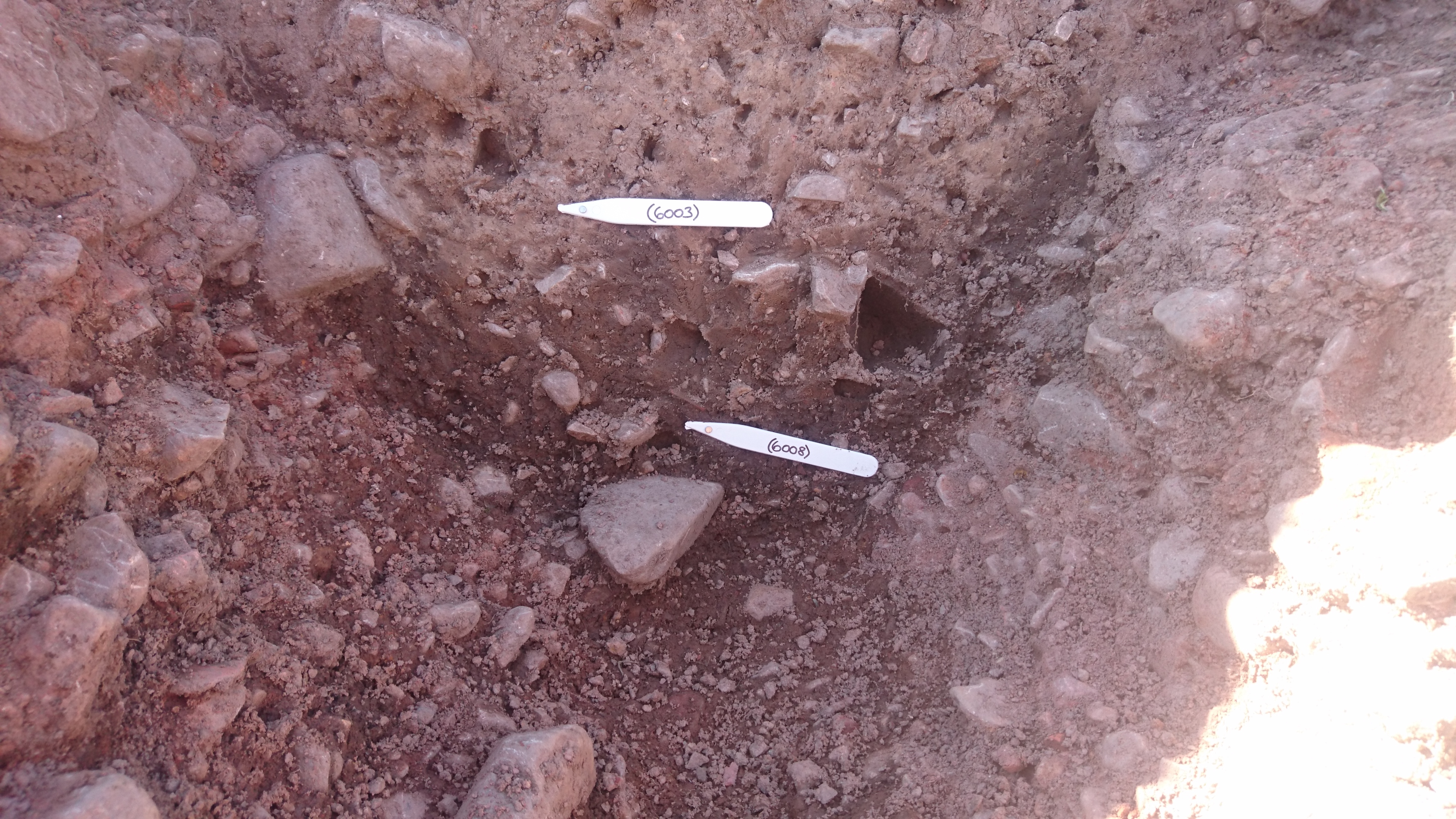
Context: COL18_6003
- Fill of the western trackway ditch [6004]
- Hilary Graham
- 22-6-2018
-
Context: COL18_6004
- Cut of western trackway ditch
- Hilary Graham
- 22-6-2018
-
Context: COL18_6005
- Cut of eastern trackway ditch
- Chris Short
- 22-6-2018
-
Context: COL18_6006
- North - South enclosure ditch in middle of Trench 6
- Robert Stenlake
- 22-6-2018
-
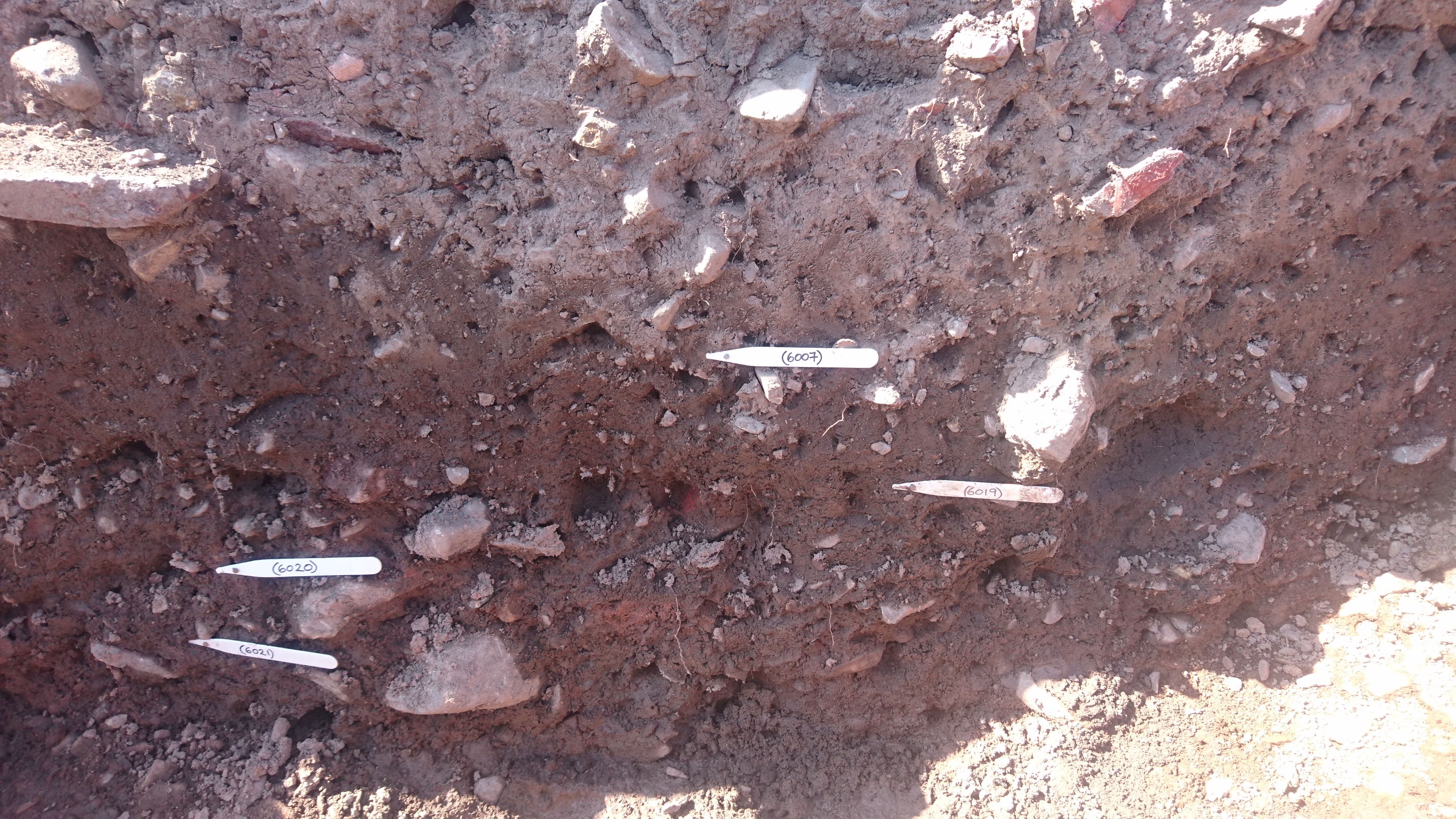
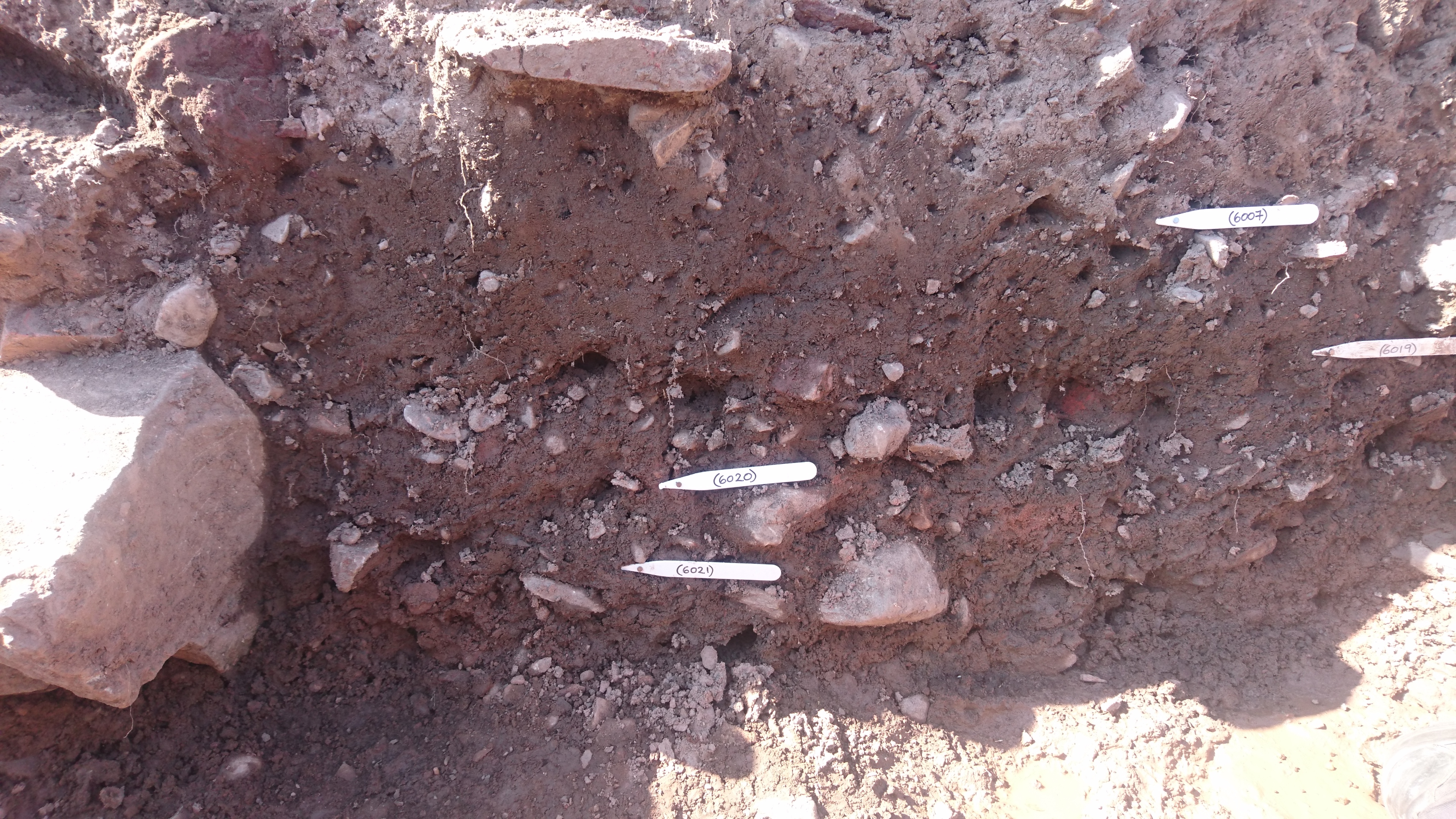
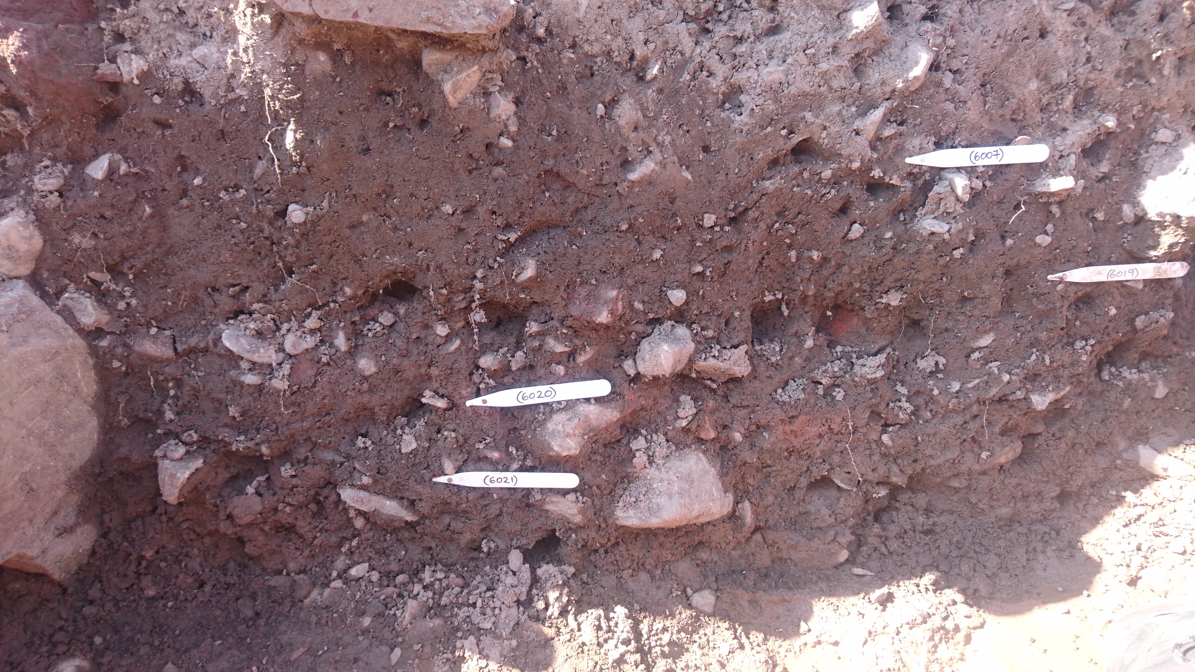
Context: COL18_6007
- Upper fill of enclosure ditch [6006] above (6020)
- Stuart Waring
- 22-6-2018
-
Context: COL18_6008
- Fill of trackway ditch [6004] below (6003)
- Hilary Graham
- 22-6-2018
-
Context: COL18_6009
- VOID - Possible stone drain fill in middle of enclosure ditch [6006]
- Wendy Lloyd
- 22-6-2018
-
Context: COL18_6010
- Cut of vallum ditch at western end of Trench 6
- Morag Driscoll
- 22-6-2018
-
Context: COL18_6011
- Upper fill of vallum re-cut [6012] at western end of Trench 6
- Morag Driscoll
- 22-6-2018
-
Context: COL18_6012
- North - South vallum re-cut of ditch [6010]
- Joseph Rosegrant
- 22-6-2018
-
Context: COL18_6013
- Subsoil E of vallum
- Joseph Rosegrant
- 22-6-2018
-
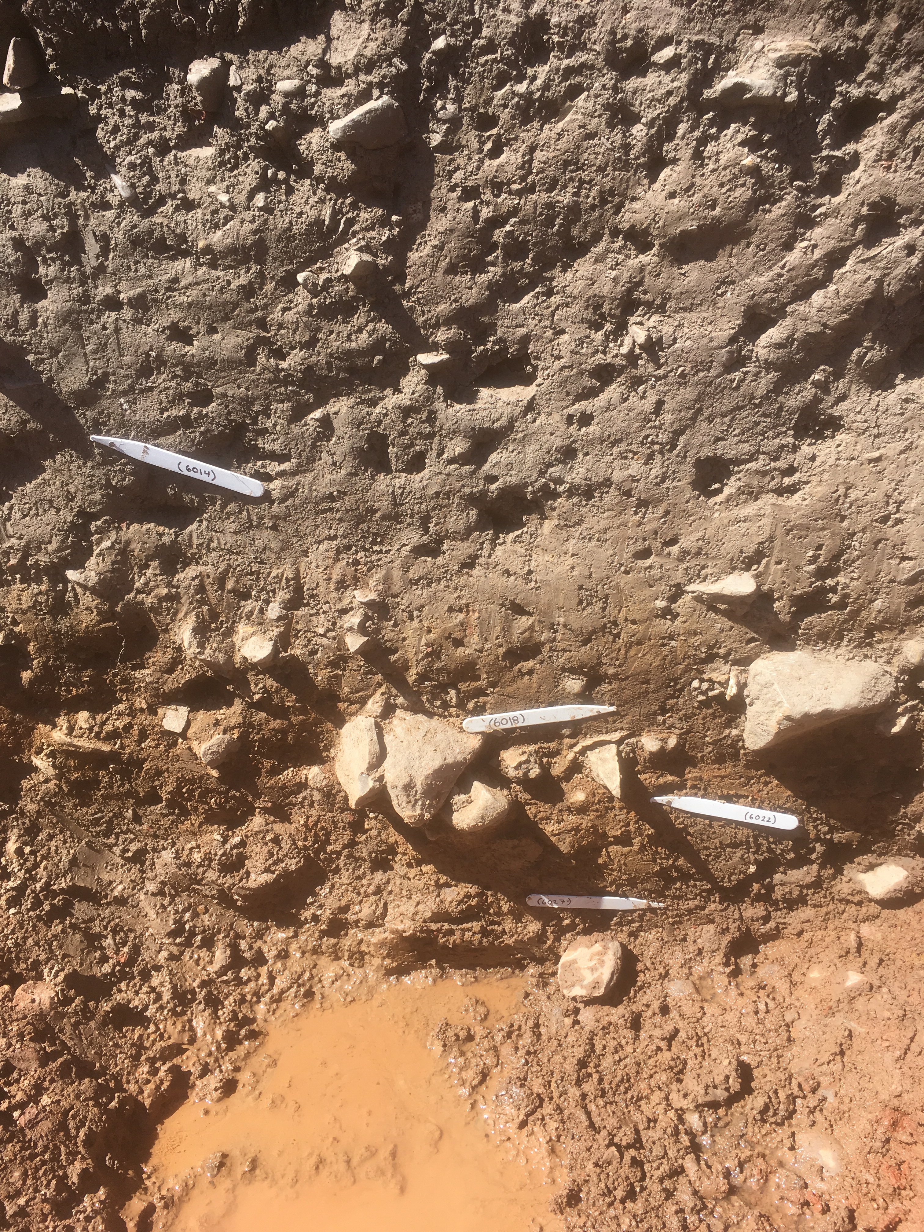
Context: COL18_6014
- Fill of ditch in NW corner
- Indie Jago
- 23-6-2018
-
Context: COL18_6015
- Fill below (6007). Same as 6019.
- Mary Robertson
- 23-6-2018
-
Context: COL18_6016
- Fill of cut [6010].
- Pamela Claire Horne
- 24-6-2018
-
Context: COL18_6017
- VOID - Cut underlying [6010] on western end of trench 6 (same as [6010])
- Pamela Claire Horne
- 24-6-2018
-
Context: COL18_6018
- Fill of cut [6010] below (6014)
- Pamela Claire Horne
- 24-6-2018
-
Context: COL18_6019
- Fill of ditch [6023] below (6028)
- Christopher Bowles
- 24-6-2018
-
Context: COL18_6020
- fill of ditch [6006] above (6021)
- Mary Robertson
- 26-6-2018
-
Context: COL18_6021
- Basal fill of enclosure ditch [6006]
- Mary Robertson
- 26-6-2018
-
Context: COL18_6022
- Yellowish-brown mottled fill of ditch below (6018)
- Deborah Campbell
- 27-6-2018
-
Context: COL18_6023
- recut of enclosure ditch [6006]
- Mary Robertson
- 27-6-2018
-
Context: COL18_6024
- Wall
- Mary Robertson
- 28-6-2018
-
Context: COL18_6025
- Natural in east of trench 6
- Mark Turnbull
- 1-7-2018
-
Context: COL18_6026
- Brownish-yellow soil layer above (6025)
- Johan du Preez
- 1-7-2018
-
Context: COL18_6027
- Basal fill of ditch at western end of Trench 6
- Sophie Scott
- 1-7-2018
-
Context: COL18_6028
- fill of recut [6023] above fill (6019)
- Mary Robertson
- 1-7-2018

- Hilary Graham 22-6-2018