Basic Information
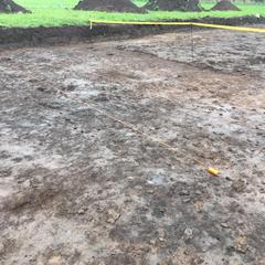
- A ditch part of a system of ditches running ne-sw in the eastern half of trench 4.
Contexts
-
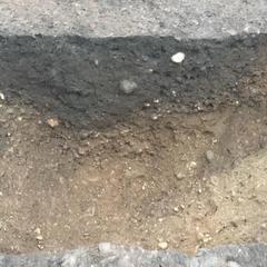
Context: EPR_4016
- Fill of N-S linear ditch [4082]
- Alan Baxter
- 23-10-2020
-
Context: EPR_4082
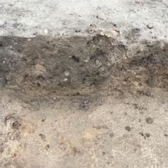
- Cut of NE -SW ditch filled with (4016)
- Sharon Dobson
- 2-11-2020
-
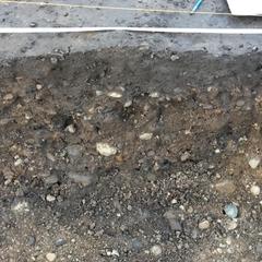
Context: EPR_4093
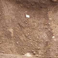
- Cut of linear
- Bill Balding
- 3-11-2020
-
Context: EPR_4094

- Fill of linear 4093
- Bill Balding
- 3-11-2020
-
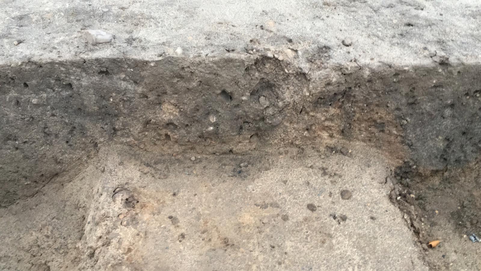
Context: EPR_4116

- Cut of ditch
- Ben Swain
- 10-11-2020
-
Context: EPR_4117
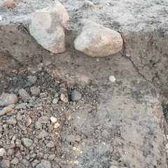
- Fill of ditch 4116
- Ben Swain
- 10-11-2020
-
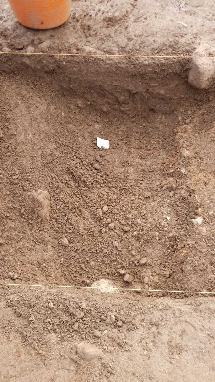
Context: EPR_4123
- Fill of gully
- David Wallace
- 11-11-2020
-
Context: EPR_4132
- Cut of gully related to the parallel ditch/gully series
- David Wallace
- 12-11-2020


Narrative
-
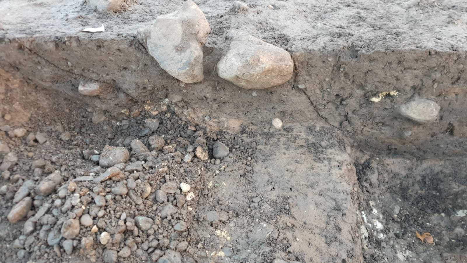
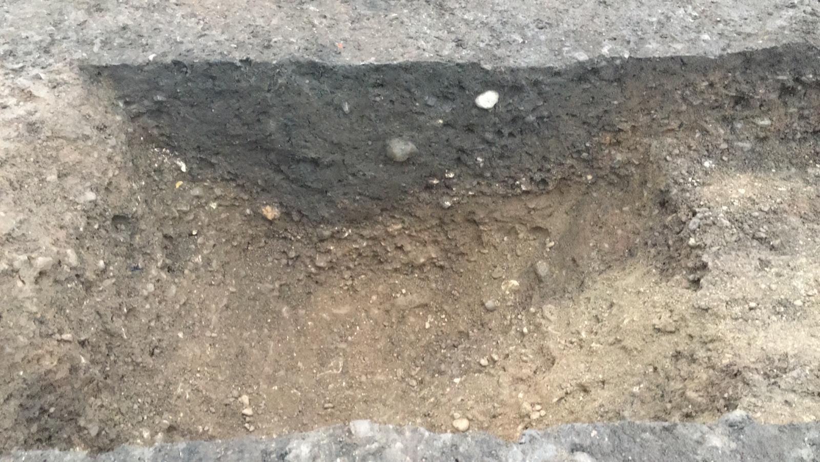
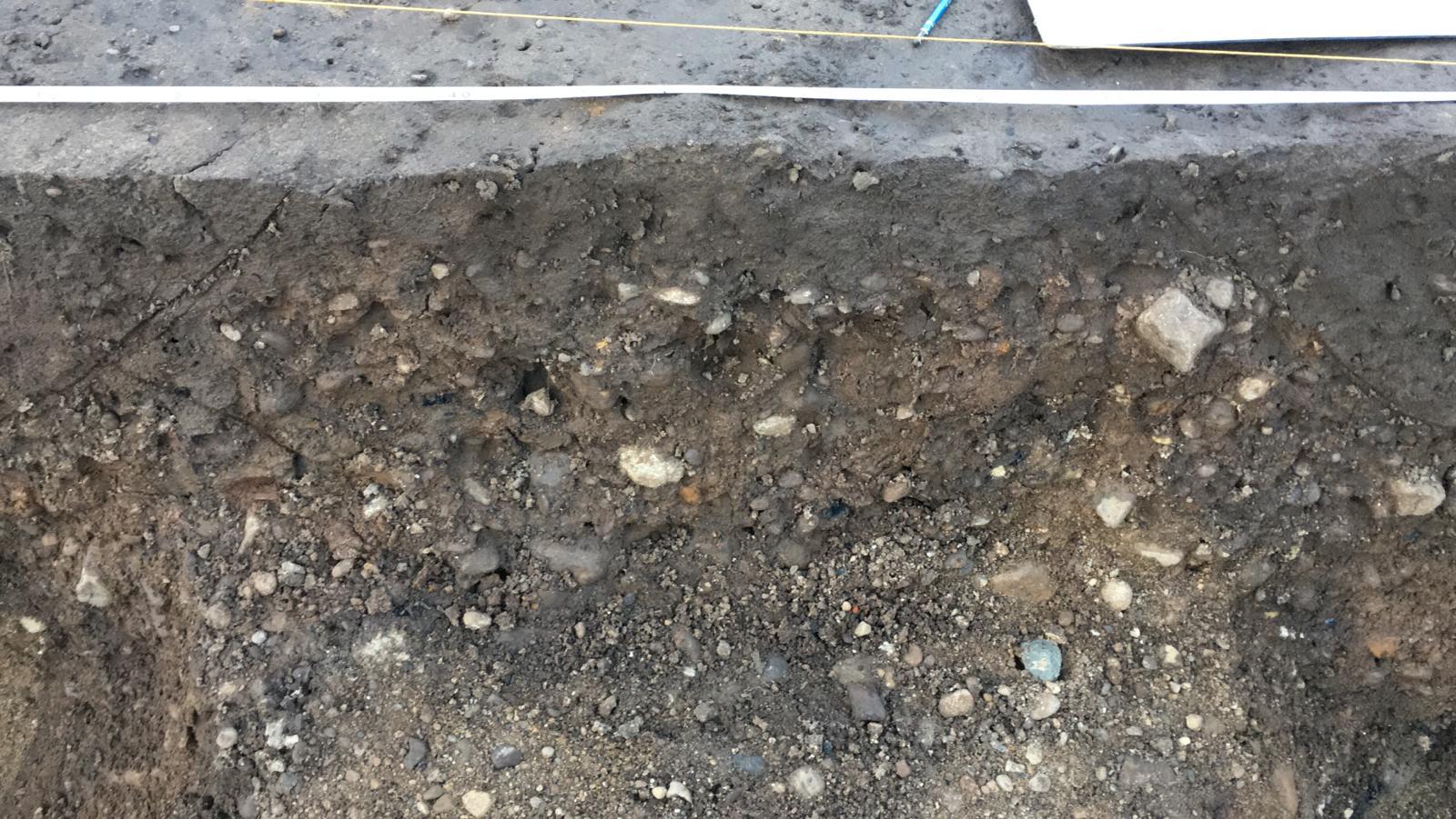
- One of the ditches making up the western boundary of a trackway running NE-SW in the eastern half of trench 4 for the length of the trench (30m), it had a maximum width of 0.97m and a maximum depth of 0.55m. It was truncated on both sides by ditches, at the northern end of the trench this was F401, then F406 to this features west, and it was F... on it's east.
-
- Nat Jackson
- 4-12-2020
Dating Narrative
- No Interpretations