Basic Information
- Original narrow road
Contexts
-
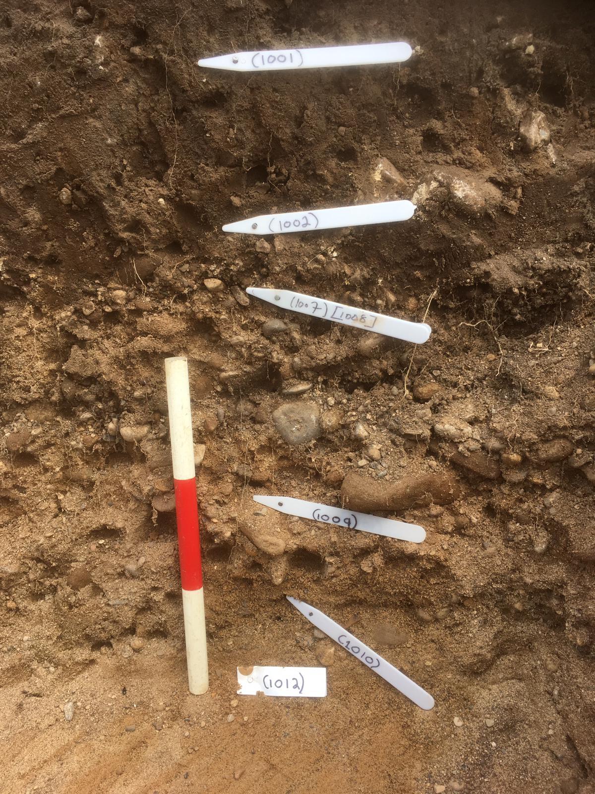
Context: EPR_1009

- Upper layer of roman road
- Sara Goodridge
- 21-6-2019
-
Context: EPR_1010
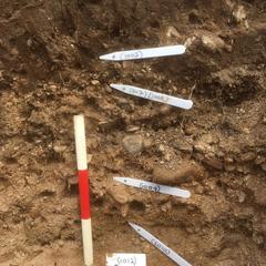
- Lower layer of roman road
- Michael Gregson
- 21-6-2019
-
Context: EPR_1029
- Upper surface of original road
- Geoff Minshull
- 2-7-2019
-
Context: EPR_1035
- Upper construction deposit of road
- Scott Williams
- 5-7-2019
-
Context: EPR_1036

- Lower construction deposit of road
- Scott Williams
- 5-7-2019


Narrative
-
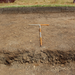
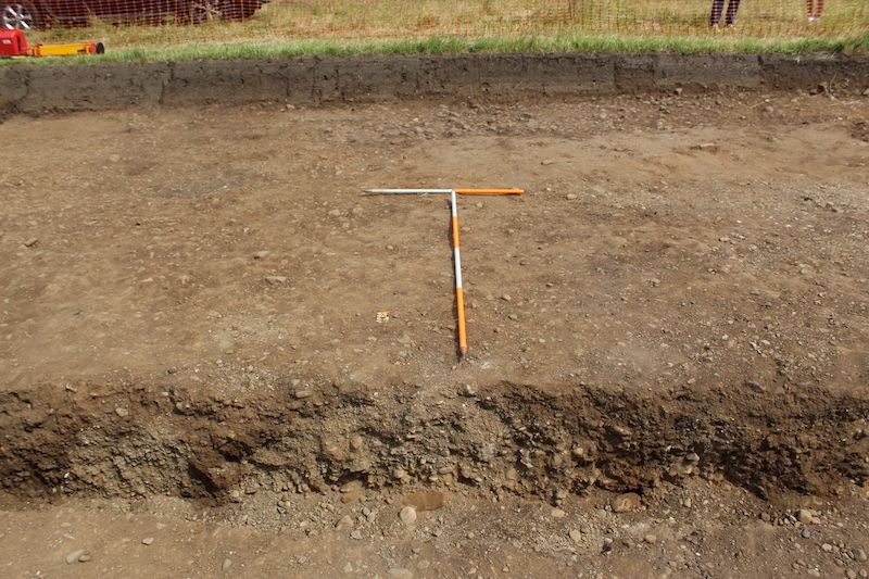
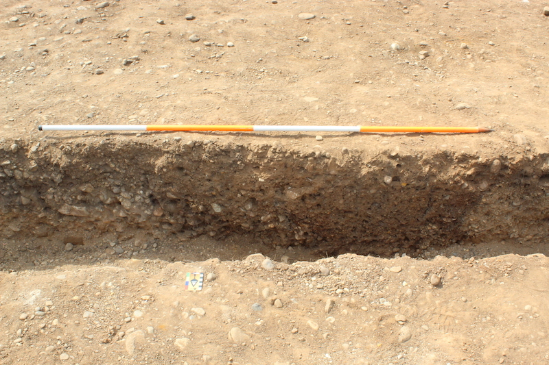
- The original narrow road appeared to comprise an upper metalled surface of packed cobbles and pebbles, and two construction deposits. The upper surface was rudimentary and appeared to have been poorly maintained. The construction deposits were generally loose and not well compressed, providing a poor—or perhaps hastily constructed—foundation for the road. The construction deposits were cut through by boundary ditch (109) and plough furrows (101) and (106).
-
- Geoff Minshull
- 8-7-2019
-
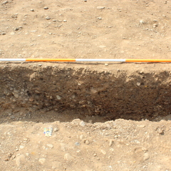
- A trackway F107 was observed in the eastern half of the trench. This was visible as an anomaly on the geophysical survey, running roughly north-south. The trackway surface had been heavily truncated by medieval ridge-and-furrow ploughing although layers associated with the use of the trackway were still visible in places; (1009), (1010), (1029) and (1041). The trackway appeared in generally worse condition along its western edge, and the western edge was recorded separately in the field as F108. Though it is now interpreted as being part of the same road. The trackway was bounded west by a north-south aligned ditch F104. The ditch ran parallel to the track defining the edge of the trackway. The ditch was variably established, with irregular margins. A series of sand and gravels deposits were identified as construction layers in the field for a more substantial Roman road; (1012), (1035), (1036), (1039), and (1040). However, none of these deposits yielded any finds and have been subsequently interpreted as naturally accumulating glaciofluvial sands and gravels dating from the Devensian Stage, and which characterise the local superficial geology at East Park, Sedgefield.
-
- Indie Jago
- 1-10-2020
Dating Narrative
-
- Only three potsherds were recovered from the trackway, all from upper layer (1029). A Campanian amphorae potsherd dated AD 40-80/90, a Lower Nene Valley Colour-coated ware dated AD 150-410 and a reduced grey ware dated AD 100-400. Although the assemblage is small, it may tentatively be taken to indicate a relatively restricted date for the use of the trackway between late-1st century AD and early-2nd century AD.
-
- Indie Jago
- 1-10-2020