Short Description:
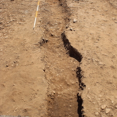
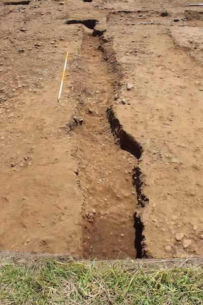
Cut of roadside ditch
Issued to
Neil Mccarthy | 26/06/2019
Interpretation
-
- Roadside ditch dug to drain water off road and delineate western extend of widened road surface. Feature is cut by probable early 3rd century enclosure ditch [1006]
-
- Mary Knight
- 26-6-2019
-
- Interpreation of road widening has changed. The 'widening' is now thought to apear that way due to worse preservation.
-
- Indie Jago
- 1-10-2020
Sketch Photo
Description
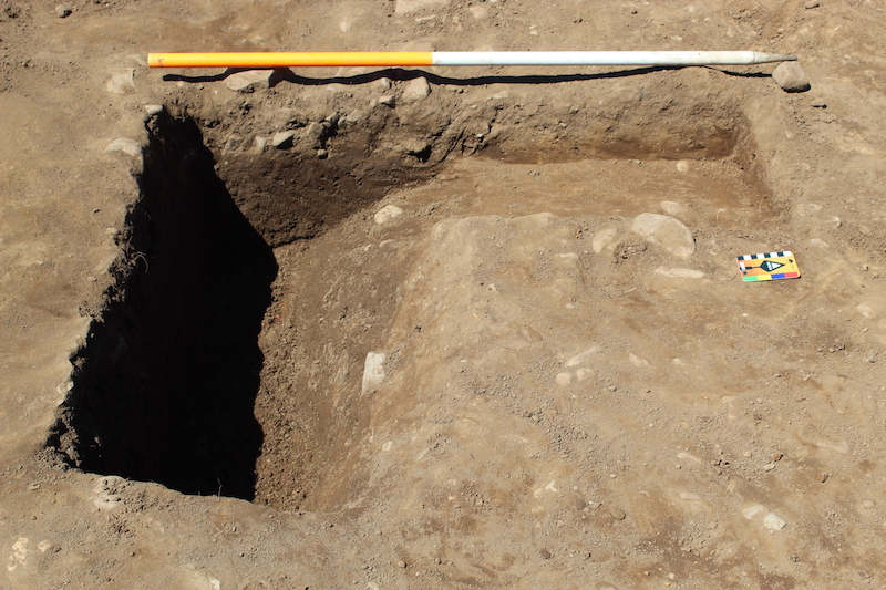
- Linear
- N/A
- Width - 1.00m Depth - 0.17m
- Sharp
- NNW to SSE
- Steep
- Gradual
- Rounded
- Width - 0.35m Depth - 0.17m
- Truncated by enclosure ditch [1006]
Finds
Feature
-
Feature: EPR_104
- Roadside ditch
Site Photos
-
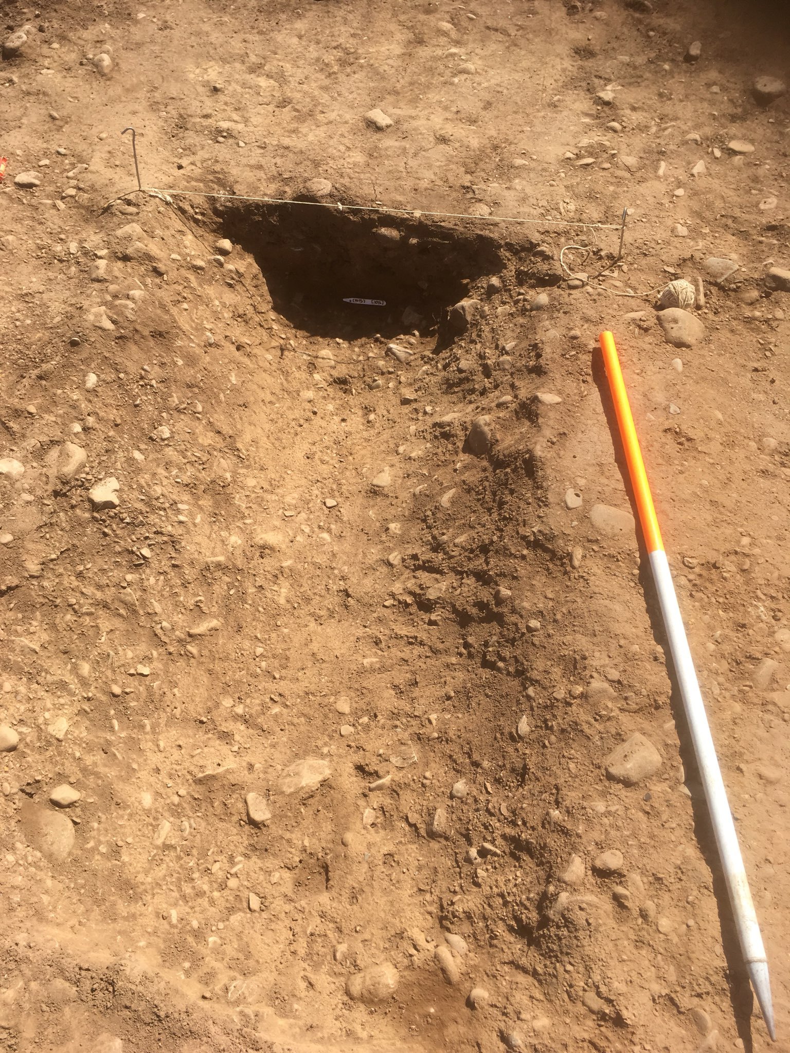
Photo: EPR_193884
- W facing photo of intersection of road side ditch and enclosure ditch
-
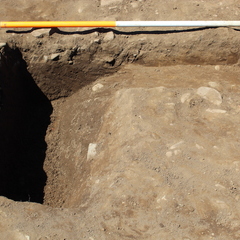
Photo: EPR_193940
- south facing photo of road side ditch [1016]. 2m scale.
Plan
Record Details
- Not set
- Neil Mccarthy 26-6-2019
- - - - -
- - -