- Trench 7
Photos
- No Files Attached
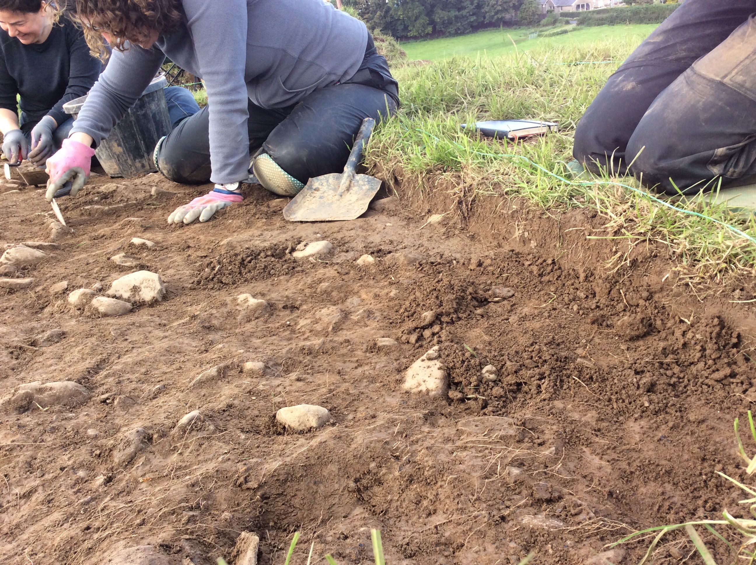
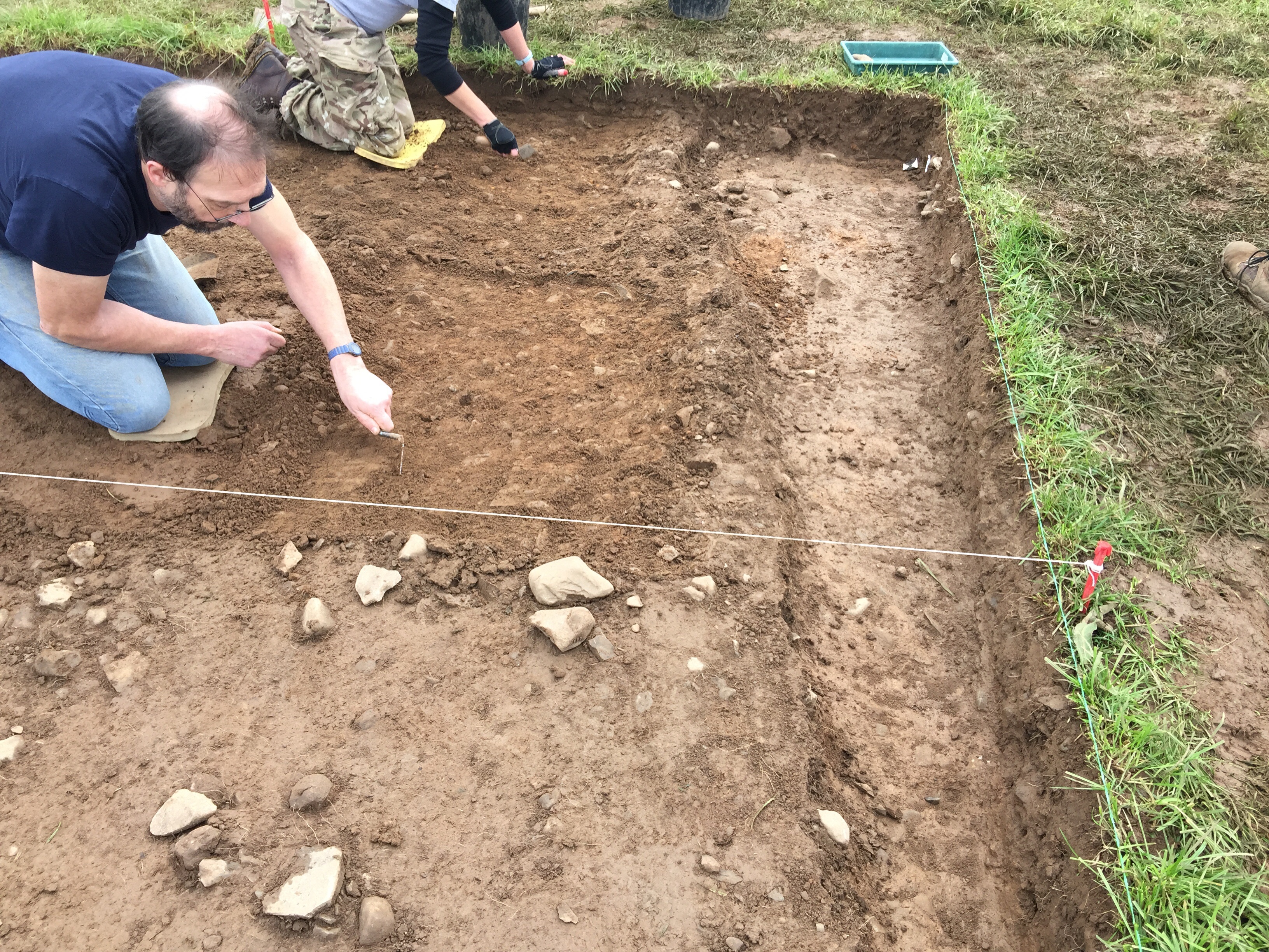
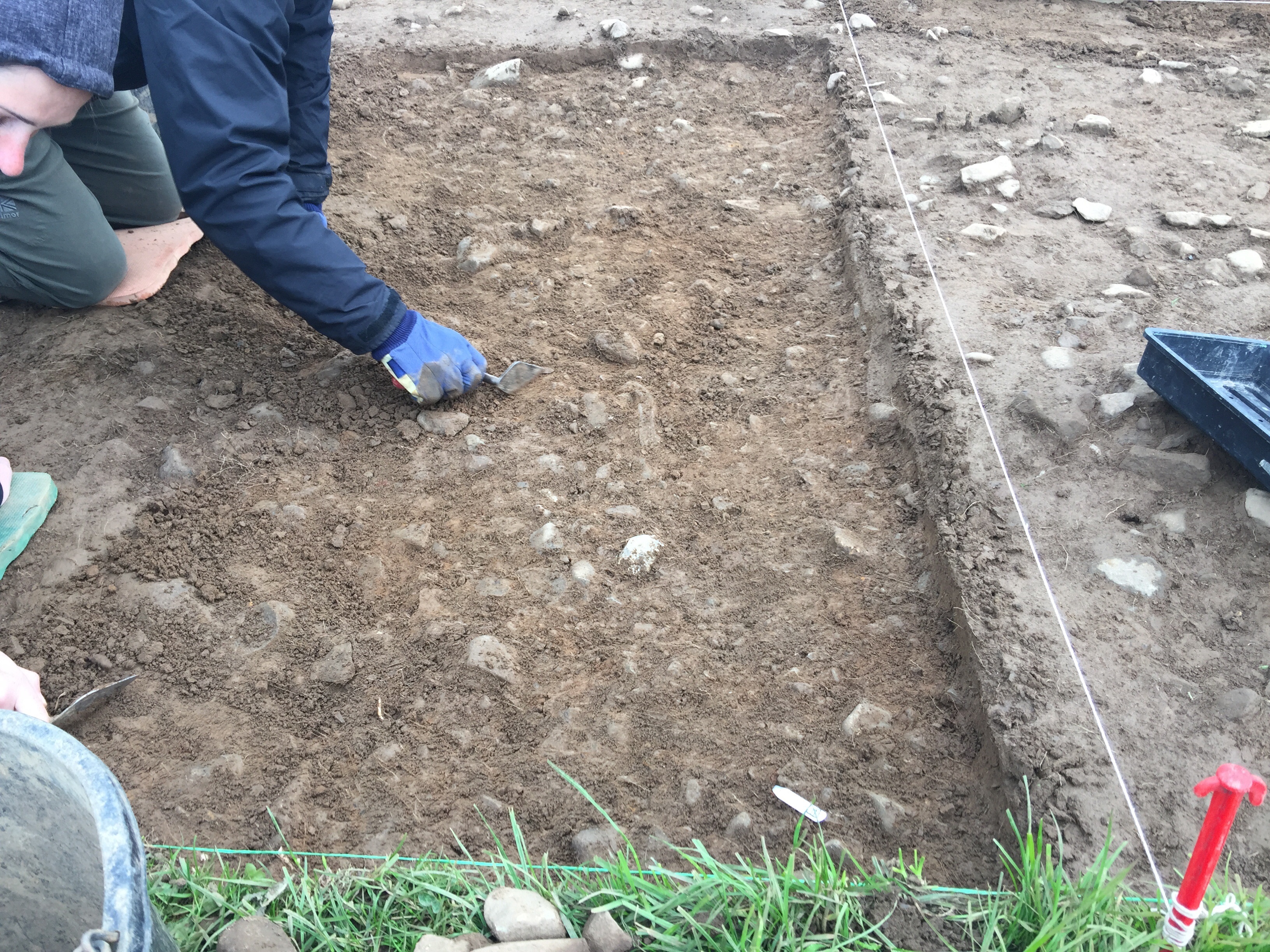
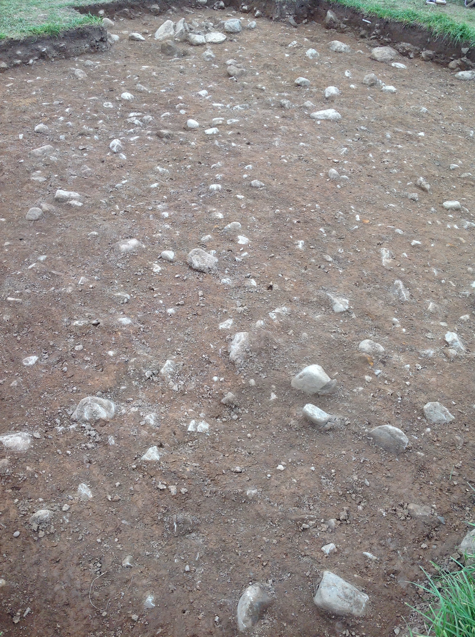
- Trench 7 was hand test trench measuring 5m x 5m, excavated down to the natural. It was situated downslope and slightly to the north of the mound’s apex. This trench’s north east corner was extended by 0.75 in order to confirm that a series of packed stones partially covered by the trench edge were not an archaeological feature. The trench was located to investigate a geophysical anomaly identified during the 2016 magnetometry survey. No features were identified within this trench which instead was covered by a layer representing the disturbed remains of the ring cairn pulled across the site by more recent ploughing evidenced through the presence of prehistoric worked lithics, intermingled with post-medieval pottery.
3-D Models
Plan
-
Plan: BLS_12
- Post ex plan of trench 7
- Allison Casaly
- 25-9-2017
Section
-
Section: BLS_14
- W facing trench edge of trench 7
- Ben Roberts
- 25-9-2017
Features
- No records attached.
Contexts
- Brendon Wilkins 19-9-2017